Yellow River
Yellow River
- Boat Ramps
- 0
- Access Points
- 0
- Campsites
- 1
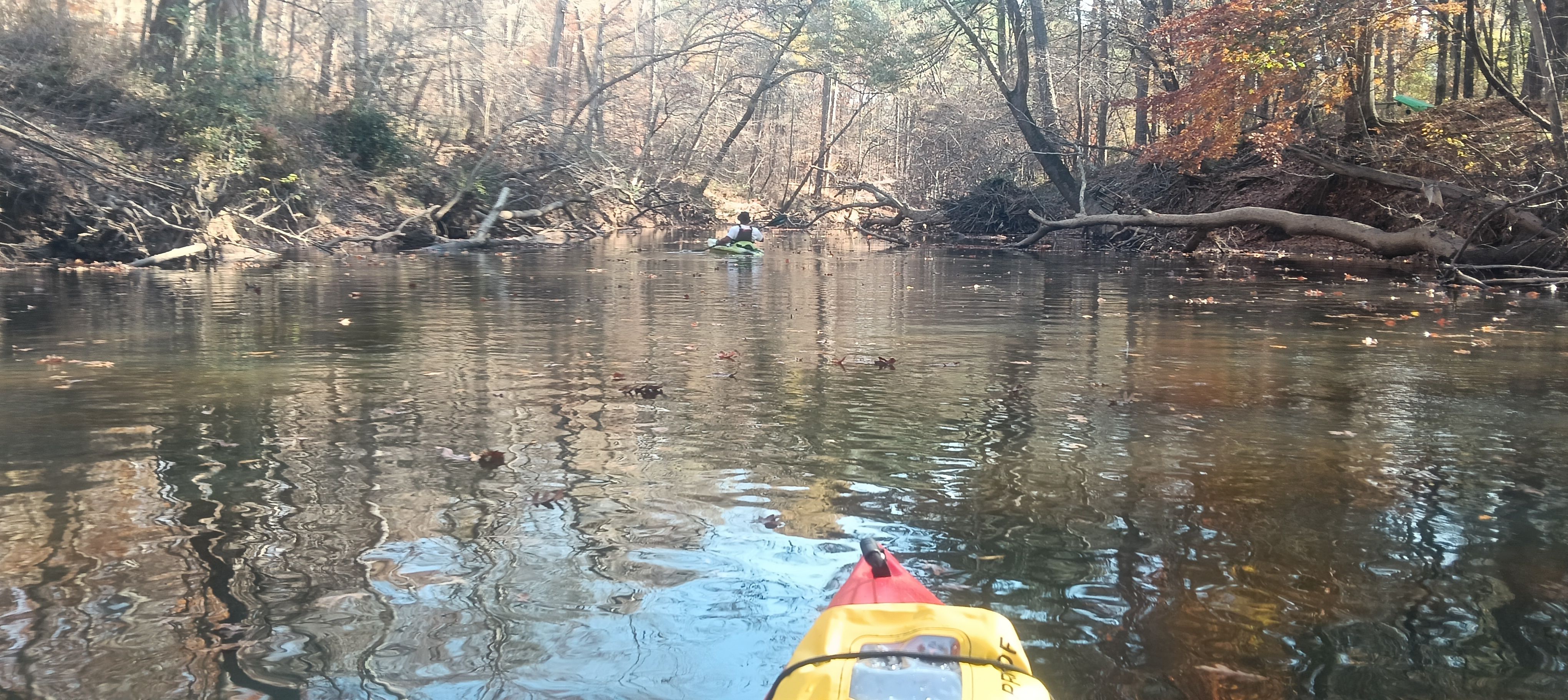
The Yellow River flows 76 miles through Georgia's Piedmont region, originating in northern Gwinnett County and traveling southeast through DeKalb, Rockdale, and Newton counties before emptying into Lake Jackson. From there, its waters join the South River to form the Ocmulgee River, ultimately reaching the Atlantic Ocean via the Altamaha River system. This intimate piedmont waterway winds through a landscape that transitions from suburban Atlanta to rural countryside, passing beneath historic Civil War-era bridge columns, working railroad trestles, and Interstate 20.
The Yellow River Water Trail encompasses 53 miles of established paddling route with access points positioned approximately every five to ten miles. The river's character varies considerably along its length. Upper sections near Lilburn and Stone Mountain feature the river's most technical whitewater, with Class II-III rapids and occasional Class III+ moves, particularly in the stretch from US Highway 78 to GA Highway 124. These upper reaches demand solid boat control and whitewater skills. The middle sections transition to gentler Class I-II water and extended flatwater stretches, suitable for recreational paddlers and families. The lower sections from Mt. Tabor Road through Newton County offer predominantly flatwater paddling through tree-lined banks, ideal for wildlife observation and leisurely trips.
Porterdale presents a notable exception to the river's generally mellow character. The Porterdale City Section, running through the historic mill town, delivers intense Class III+ whitewater with occasional Class IV moves compressed into approximately one mile. This technical stretch requires advanced skills and proper water levels, typically between 400-2500 cfs for optimal paddling conditions.
Wildlife thrives along the Yellow River corridor. Paddlers regularly encounter great blue herons, belted kingfishers, wood ducks, and bald eagles. North American river otters and American beavers maintain active populations, particularly in the quieter middle and lower sections. The river supports diverse fish populations and serves as an important ecological corridor through increasingly developed areas.
Historic significance permeates the waterway. During the Civil War, Union forces destroyed railroad trestles and rail cars at river crossings. The river later powered textile mills in Porterdale, with bricks for mill construction floated downstream. The town of Porterdale itself developed around these mills, and remnants of this industrial heritage remain visible from the water.
Access points range from informal bridge crossings in upper sections to developed facilities like Yellow River Park in both Gwinnett County and Porterdale. Most access points offer free parking, though some require navigating steep banks or using concrete culverts. The river flows year-round, with spring and fall providing optimal conditions. Summer offers warmer water but lower flows, while winter paddling requires cold-water precautions. Several sections between Mt. Tabor Road and Brown Bridge Road feature sandbars suitable for rest stops and picnicking at normal water levels.
Water access, boat ramps & amenities
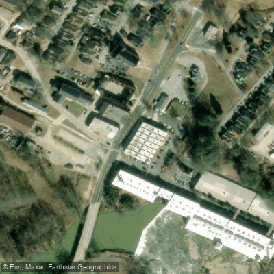
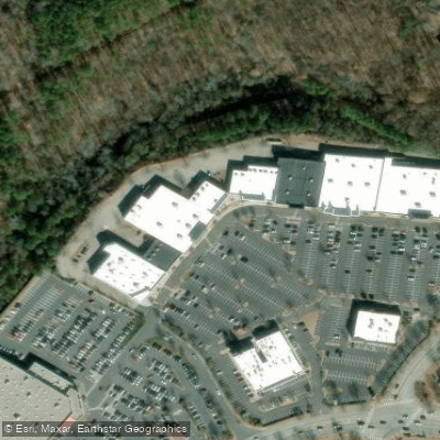
Learn how to get on Yellow River. Uncover great paddling access points, boat ramps, and all the facilities you need for an unforgettable day on the water. Some locations shown may border or include private property. Always check property boundaries and applicable regulations before visiting. PaddleWays's Public & Private Land layer can help you plan your access with confidence.
Paddle smarter with real-time insights
Whether you're en route and conditions shift or you're looking for the best spot based on current flows, we enable you to make informed decisions on the fly.








Find Places to Paddle

Over 400,000 Places to Paddle
Every user gets free access to launch points, boat ramps, and public property parcels.


Water and weather conditions (10 day forecast)
See the best times to paddle Yellow River and check the forecast before you go.
YELLOW RIVER NEAR SNELLVILLE, GA
All Flow Stations
Paddling near Yellow River
Ocmulgee River

Chattahoochee River
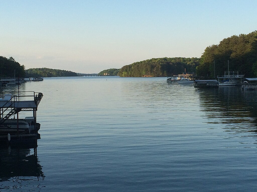
Lake Sidney Lanier

Flint River
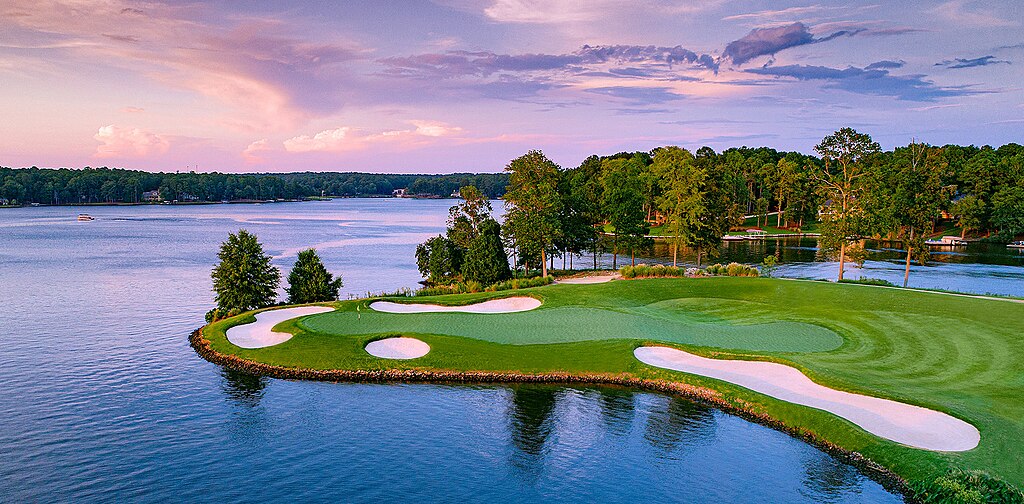
Lake Oconee
Lake Sinclair
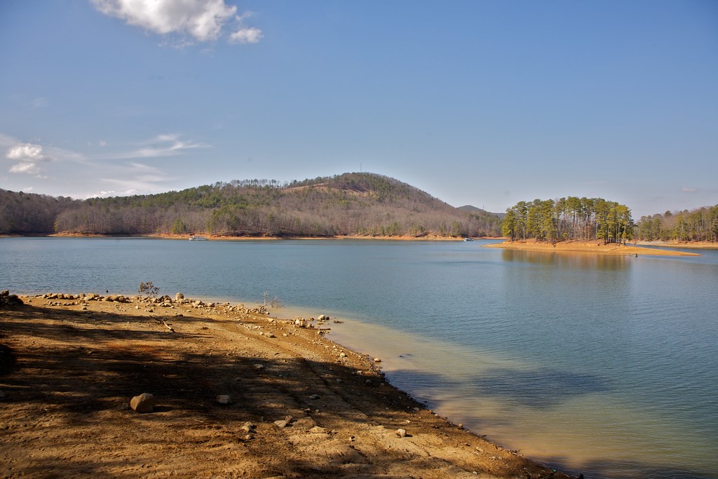
Allatoona Lake
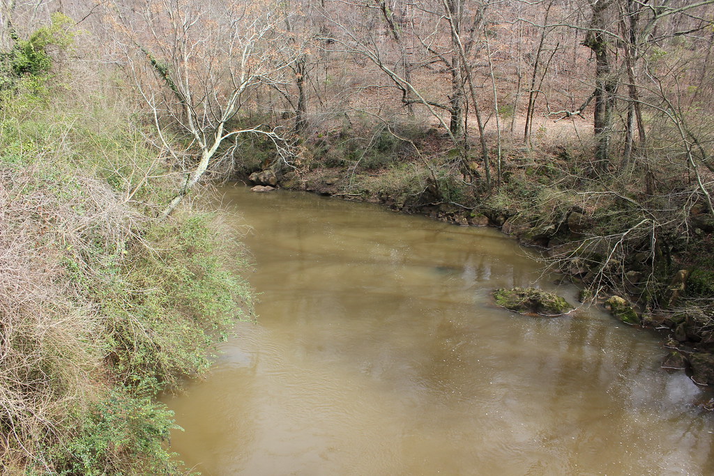
Oconee River
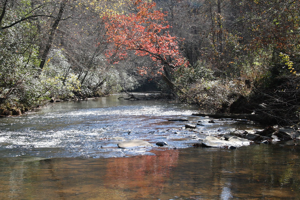
Etowah River
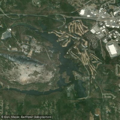
Stone Mountain Lake
Explore Georgia waters
Top paddling waters
Popular Cities
Loading popular cities...
Explore near Yellow River
Access points
Nearby waters
More in Georgia

Smarter Paddling Starts in the App.
Paddleways gives you everything you need to plan smarter, paddle better, and own every trip from first launch to takeout.