Buck Creek
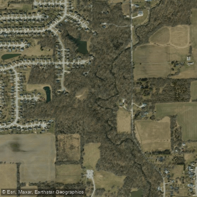
Buck Creek
- Boat Ramps
- 1
- Access Points
- 1
- Campsites
- 4
Buck Creek flows through southern Marion County, Indiana, emptying into the White River just north of the Southport Road bridge. This tributary of Sugar Creek represents a significant waterway within the Indianapolis metropolitan area, though its urban setting presents unique characteristics compared to more remote Indiana streams.
The creek's most notable historical feature is the Buck Creek Culvert, a remnant of the ambitious Central Canal project from the 1830s. Archaeological investigations have revealed wooden foundation timbers from this culvert structure, dating back nearly 200 years to Indiana's internal improvement era. These remains, located between the Harding Street and SR 37 bridges, represent one of the few surviving physical traces of the failed canal system that once promised to transform Indianapolis into a major commercial hub.
The Buck Creek Trail greenway runs along the north bank of the creek, providing public access and recreational opportunities for residents of southern Indianapolis. This trail system connects the waterway to the broader Indianapolis greenway network, making the creek accessible for walking, running, and wildlife observation, though paddling opportunities appear limited due to the creek's size and urban environment.
The White River Vision Plan identifies Buck Creek as part of a larger watershed system requiring attention for connectivity and ecological restoration. The creek passes through areas with varying degrees of development, from residential neighborhoods to industrial zones, reflecting the complex land use patterns of metropolitan Indianapolis.
Access to Buck Creek is primarily through the Buck Creek Trail near the intersection with the greenway system in southern Marion County. The creek's proximity to Southport Road and major thoroughfares makes it readily accessible to Indianapolis residents, though launching watercraft may be challenging given the limited infrastructure and creek dimensions.
Ecological conditions along Buck Creek reflect its urban watershed, with ongoing efforts to address water quality and riparian habitat restoration. The creek supports typical central Indiana aquatic species adapted to urban environments, though specific documentation of fish populations and wildlife is limited in available records.
For those interested in Indianapolis's transportation history and urban waterways, Buck Creek offers a unique glimpse into 19th-century canal engineering and the evolution of the city's relationship with its water resources. The surviving culvert remains provide tangible connection to the ambitious but ultimately unsuccessful Central Canal project that shaped early Indianapolis development.
Water access, boat ramps & amenities
Learn how to get on Buck Creek. Uncover great paddling access points, boat ramps, and all the facilities you need for an unforgettable day on the water. Some locations shown may border or include private property. Always check property boundaries and applicable regulations before visiting. PaddleWays's Public & Private Land layer can help you plan your access with confidence.
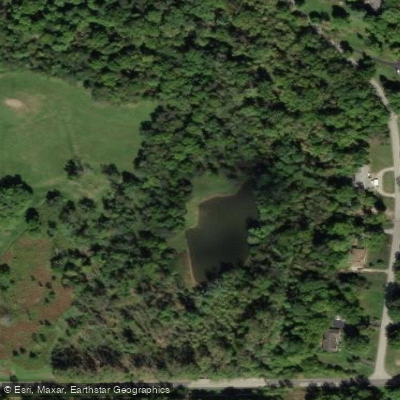
Paddle smarter with real-time insights
Whether you're en route and conditions shift or you're looking for the best spot based on current flows, we enable you to make informed decisions on the fly.








Find Places to Paddle

Over 400,000 Places to Paddle
Every user gets free access to launch points, boat ramps, and public property parcels.


Water and weather conditions (10 day forecast)
See the best times to paddle Buck Creek and check the forecast before you go.
BUCK CREEK AT ACTON, IN
Paddling near Buck Creek

White River
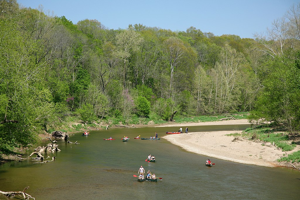
Sugar Creek
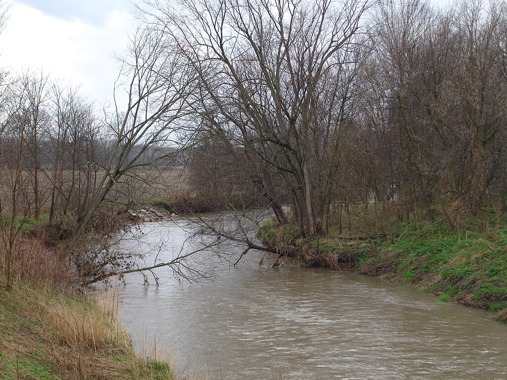
Big Blue River
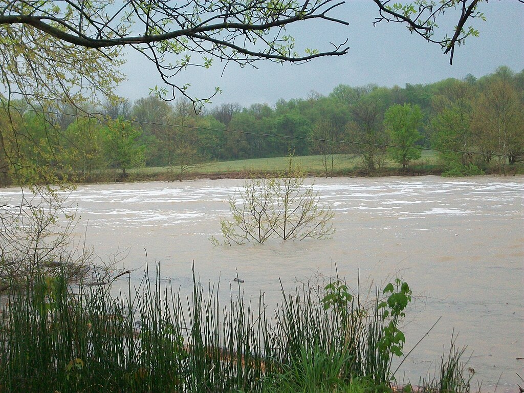
East Fork White River
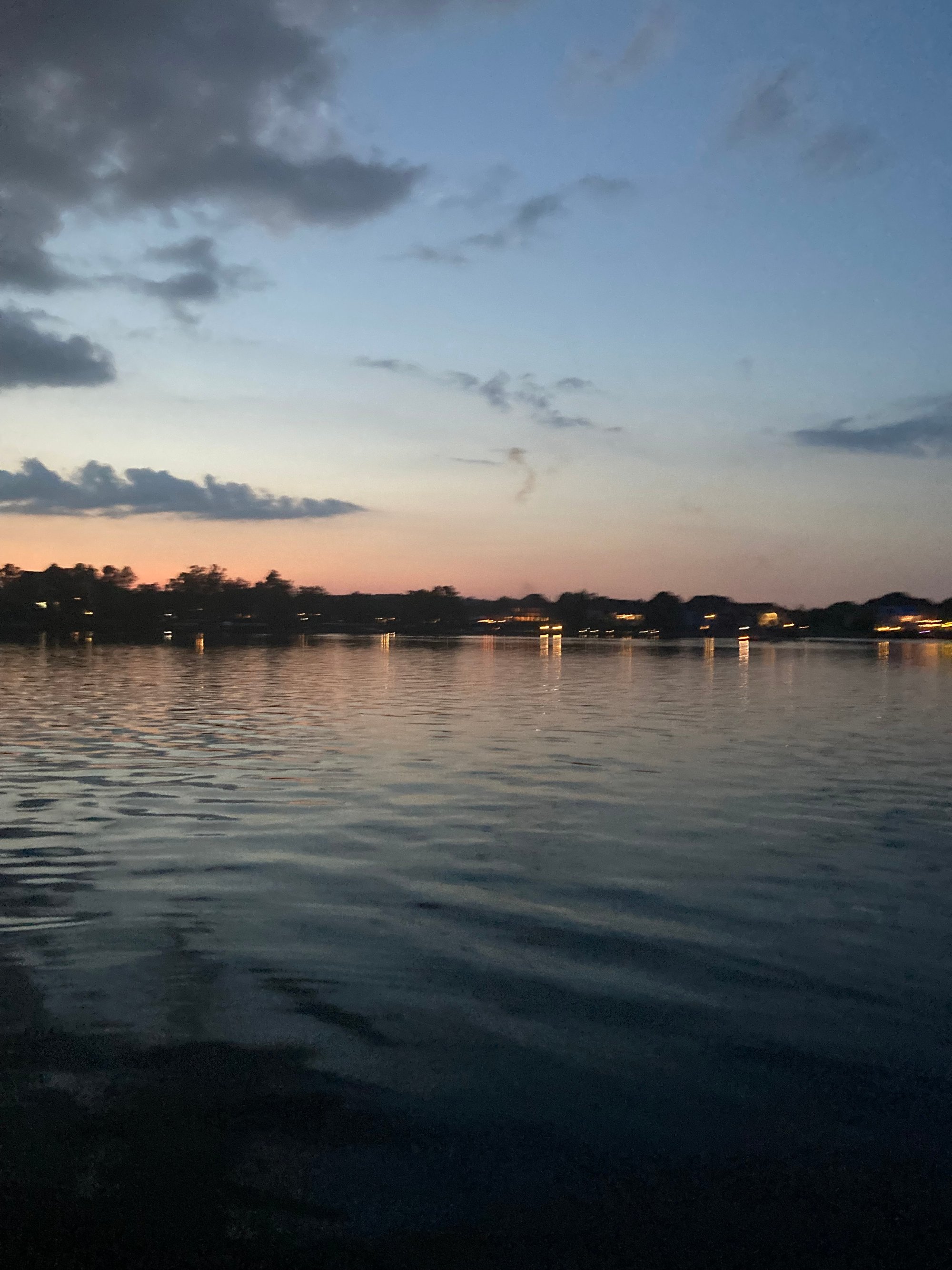
Geist Reservoir
Fall Creek
Morse Reservoir
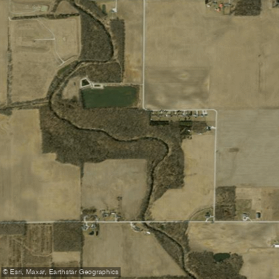
Cicero Creek
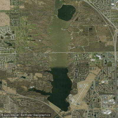
Eagle Creek Reservoir
Explore Indiana waters
Top paddling waters
Popular Cities
Loading popular cities...
Explore near Buck Creek
Access points
Nearby waters
More in Indiana

Smarter Paddling Starts in the App.
Paddleways gives you everything you need to plan smarter, paddle better, and own every trip from first launch to takeout.