Pigeon River
Pigeon River
- Boat Ramps
- 7
- Access Points
- 8
- Campsites
- 5
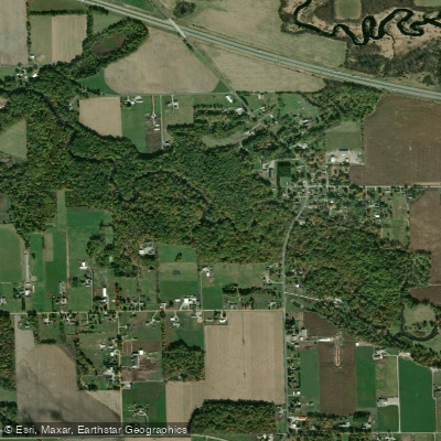
The Pigeon River originates in Steuben County, Indiana, flowing westward through LaGrange County before crossing into St. Joseph County, Michigan, and eventually joining the St. Joseph River. This tributary system drains approximately 350 square miles and passes through the extensive 11,794-acre Pigeon River Fish and Wildlife Area in LaGrange County, creating one of northern Indiana's most significant natural corridors.
The river's character transforms dramatically along its course. In its upper reaches near Angola, it's known as Pigeon Creek, a narrower waterway flowing through agricultural lands and wetlands. As it gains volume and officially becomes the Pigeon River near Mongo, Indiana, it widens considerably, particularly at three millpond reservoirs created by historic dams at Ontario, Nasby, and Mongo. These impoundments create distinct paddling environments, alternating between flatwater sections and free-flowing stretches downstream of each dam.
Paddlers can access nearly 60 miles of navigable water across multiple sections. The most popular stretch runs from County Road 1100 W to Mongo Millpond, offering Class I conditions suitable for families and novice paddlers. This 9-mile section typically requires 4-4.5 hours and features clear water flowing over gravel beds at depths ranging from 1.5 to 5 feet with currents of 3-6 mph. However, the river upstream of Mongo presents challenges including numerous logjams, strainers, and occasional portages, requiring intermediate skills and careful water level assessment.
The Pigeon River's watershed management plan identifies significant ecological value, with the lower reaches supporting federally endangered Indiana bats and diverse wetland communities. The clear, cool waters historically supported substantial fish populations, and modern stocking programs have established runs of steelhead, Chinook salmon, and coho salmon. Brook trout, brown trout, and rainbow trout inhabit various sections, with brown trout reaching up to 24 inches in the lower river.
Spring through early summer offers optimal paddling conditions, particularly April through June when water levels remain adequate and steelhead migrations occur. The river drains quickly after rainfall, making timing critical for enjoyable passage without excessive scraping. Access points include Mongo (served by two commercial outfitters: Trading Post Outfitters and Mongo River Run), Scott, Howe, and various county road bridges. The town of Mongo serves as the primary hub for river recreation, offering rental services, shuttle operations, and camping facilities.
The river bears the name of Chief White Pigeon, whose Potawatomi tribe utilized this waterway for centuries. Historic sites dot the corridor, and the area's natural character remains largely intact due to extensive public land holdings. Paddlers should respect private property along developed sections, maintain awareness of dam hazards, and monitor E. coli levels, which occasionally exceed safe standards in certain subwatersheds.
Water access, boat ramps & amenities
Learn how to get on Pigeon River. Uncover great paddling access points, boat ramps, and all the facilities you need for an unforgettable day on the water. Some locations shown may border or include private property. Always check property boundaries and applicable regulations before visiting. PaddleWays's Public & Private Land layer can help you plan your access with confidence.
Paddle smarter with real-time insights
Whether you're en route and conditions shift or you're looking for the best spot based on current flows, we enable you to make informed decisions on the fly.








Find Places to Paddle

Over 400,000 Places to Paddle
Every user gets free access to launch points, boat ramps, and public property parcels.


Water and weather conditions (10 day forecast)
See the best times to paddle Pigeon River and check the forecast before you go.
PIGEON RIVER NEAR SCOTT, IN
Paddling near Pigeon River
Elkhart River
Tippecanoe River
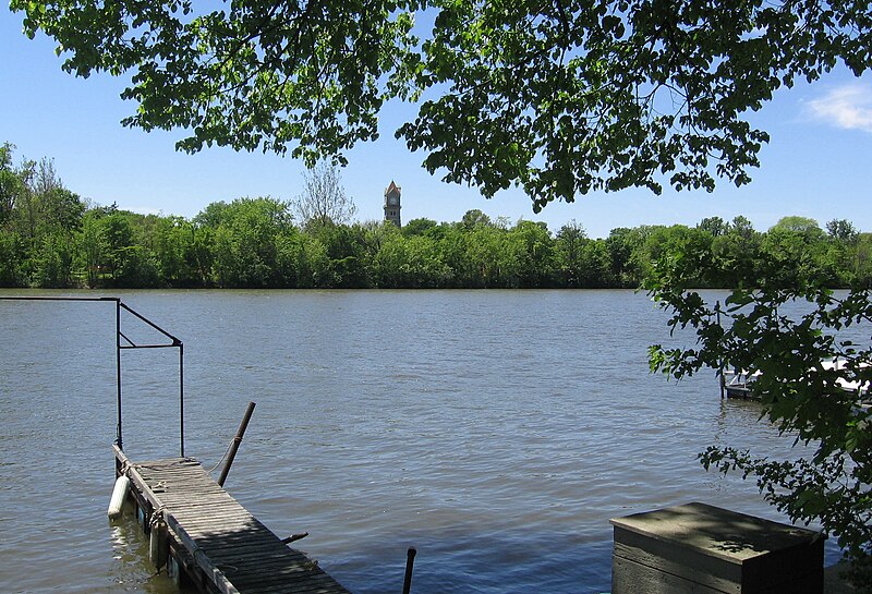
Kankakee River

Lake Michigan
Eel River
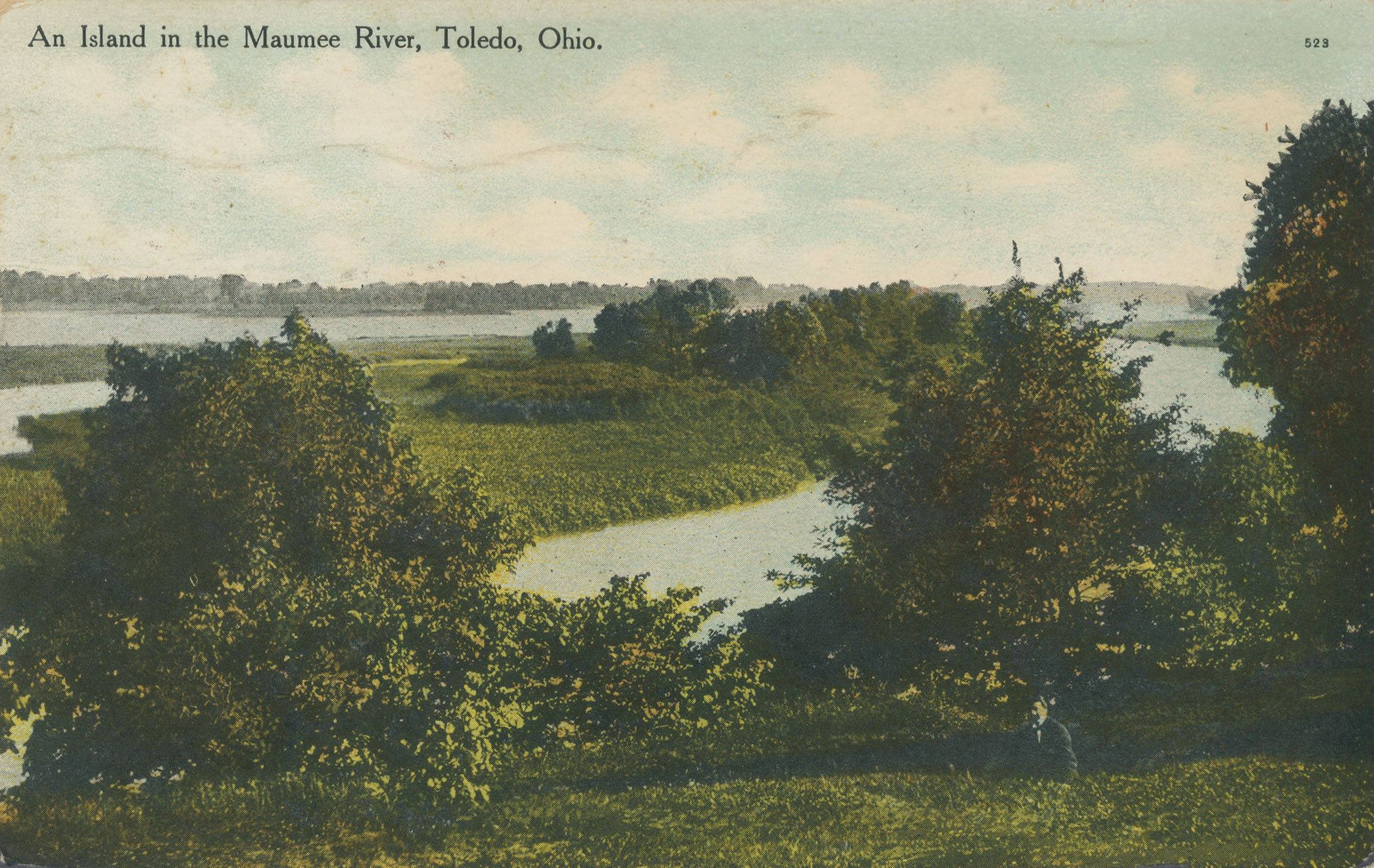
Maumee River
Saint Joseph River

Lake Wawasee
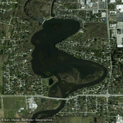
Goshen Dam Pond
Explore Indiana waters
Top paddling waters
Popular Cities
Loading popular cities...
Explore near Pigeon River
Access points
Nearby waters
More in Indiana

Smarter Paddling Starts in the App.
Paddleways gives you everything you need to plan smarter, paddle better, and own every trip from first launch to takeout.