Maumee River
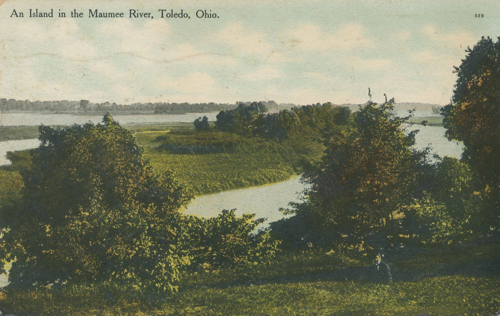
Maumee River
- Boat Ramps
- 13
- Access Points
- 16
- Campsites
- 5
The Maumee River is a majestic waterway that flows through northwestern Ohio and northeastern Indiana, offering paddlers a diverse range of experiences along its 107-mile journey from Fort Wayne to Lake Erie. This scenic river, designated as an Ohio State Scenic River in 1974, winds through a varied landscape of forests, farmlands, and historic towns, providing a perfect backdrop for both leisurely floats and more adventurous whitewater runs.
The river's paddling opportunities cater to a wide range of skill levels. The Upper Maumee section, stretching from Fort Wayne to the Ohio-Indiana border, offers mostly Class I-II rapids with occasional Class III features, making it suitable for intermediate paddlers. As the river progresses eastward, it widens considerably, sometimes reaching up to 300 yards across, creating a more relaxed paddling environment ideal for beginners and families.
One of the most exciting sections for experienced paddlers is the stretch near Grand Rapids, Ohio. Here, the river narrows and quickens, featuring Class II-III rapids that provide a thrilling ride, especially around the famous Turkey Foot Rock. However, these rapids are highly dependent on water levels, and during low water periods, portaging may be necessary.
The Maumee's flow is heavily influenced by seasonal rainfall and snowmelt, with spring typically offering the most consistent water levels for paddling. Summer can bring lower water levels, particularly in the upper sections, sometimes reducing depths to as little as a foot in places. Fall offers a beautiful backdrop of changing colors but can be unpredictable in terms of water levels.
Wildlife enthusiasts will find plenty to observe along the Maumee. The river is home to bald eagles, great blue herons, and a variety of waterfowl. The surrounding forests and wetlands support diverse ecosystems, and lucky paddlers might spot white-tailed deer, beavers, or even river otters.
Notable landmarks along the river include the ruins of the Interurban Bridge near Farnsworth Metropark, the Providence Dam, and the historic canal remnants near Independence Dam State Park. The river passes through or near several charming towns, including Defiance, Napoleon, and Perrysburg, each offering unique attractions and convenient access points.
The Maumee River holds significant historical importance, playing a crucial role in the Northwest Indian War and the War of 1812. It later became a vital transportation route, contributing to the development of Toledo as a major industrial center.
Safety is paramount when paddling the Maumee. The river's width can create challenging conditions during windy weather, and the rapids near Grand Rapids require careful navigation. Paddlers should always wear life jackets, be aware of changing water levels, and avoid areas near dams.
For those seeking a multi-day adventure, the Maumee River Water Trail offers an excellent opportunity. This 107-mile trail features 39 access points, connecting five Metroparks, three state parks, and numerous other public lands. Paddlers can customize their journey, with options for camping at designated sites along the way.
Whether you're looking for a quick afternoon paddle around the Audubon Islands near Perrysburg or an extended journey down the entire water trail, the Maumee River offers a paddling experience that combines natural beauty, historical significance, and adventures suitable for all skill levels.
Water access, boat ramps & amenities
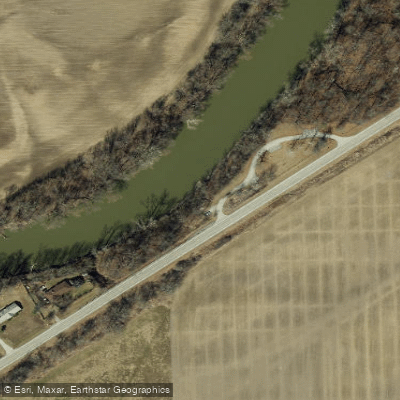
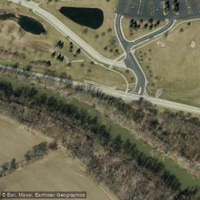
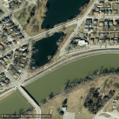
Learn how to get on Maumee River. Uncover great paddling access points, boat ramps, and all the facilities you need for an unforgettable day on the water. Some locations shown may border or include private property. Always check property boundaries and applicable regulations before visiting. PaddleWays's Public & Private Land layer can help you plan your access with confidence.
Paddle smarter with real-time insights
Whether you're en route and conditions shift or you're looking for the best spot based on current flows, we enable you to make informed decisions on the fly.








Find Places to Paddle

Over 400,000 Places to Paddle
Every user gets free access to launch points, boat ramps, and public property parcels.


Water and weather conditions (10 day forecast)
See the best times to paddle Maumee River and check the forecast before you go.
MAUMEE RIVER AT COLISEUM BLVD AT FORT WAYNE, IN
All Flow Stations
Paddling near Maumee River

Lake Erie
Portage River
Sandusky River
Auglaize River
River Raisin
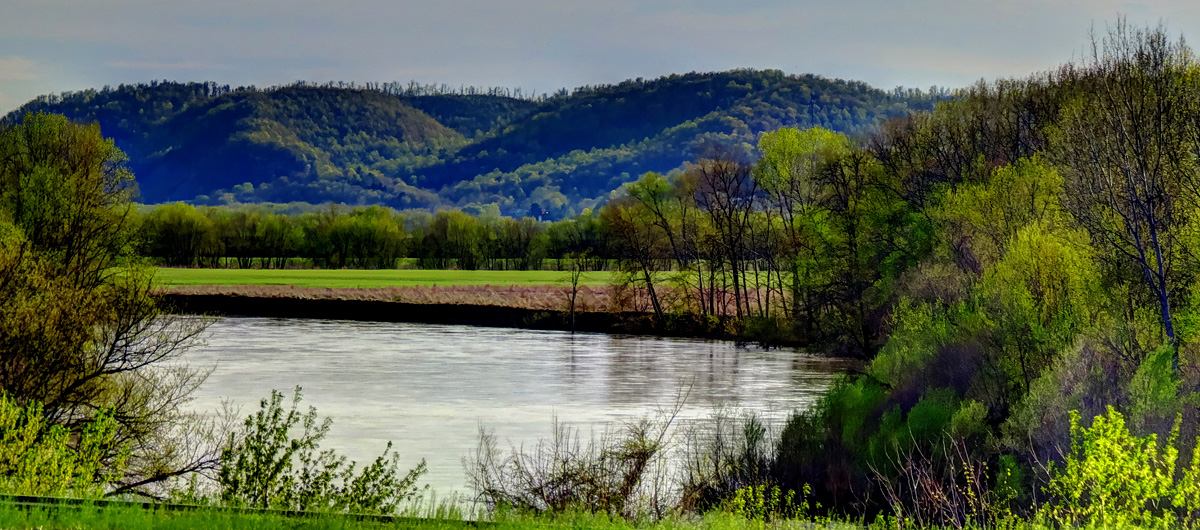
Scioto River
Van Buren Lake
Fostoria Reservoir
Rocky Ford
Explore Indiana waters
Top paddling waters
Popular Cities
Loading popular cities...
Explore near Maumee River
Access points
- Maumee River Public Fishing Site Boat Ramp
- Maumee River Boat Ramp
- Maumee River Hand Boat Launch
- Maumee River Boat Ramp
- Maumee River Boat Ramp
- North River Road Trailhead Boat Ramp
- Maumee River Boat Ramp
- Meyerholtz Wildlife Area Boat Ramp
- Maumee River Hand Boat Launch
- Pontiac Park Boat Ramp
- Side Cut Metro Park Siegert Lake Boat Ramp
- Orleans Park Boat Ramp
- All 428 spots
Nearby waters
More in Indiana

Smarter Paddling Starts in the App.
Paddleways gives you everything you need to plan smarter, paddle better, and own every trip from first launch to takeout.