Pisgah Lake
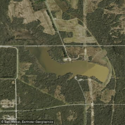
Pisgah Lake
- Boat Ramps
- 2
- Access Points
- 2
- Campsites
- 1
Pisgah Lake is a 75-acre impoundment located within the Atterbury Fish & Wildlife Area in Johnson County, Indiana. This public lake is managed by the Indiana Department of Natural Resources and provides paddling opportunities in a wildlife area setting approximately halfway between Indianapolis and Columbus.
**Access and Launch Points:** The lake features a concrete boat ramp suitable for launching kayaks and canoes. Access is through the Atterbury Fish & Wildlife Area, which encompasses approximately 4,950 acres of diverse habitat. Pisgah Lake is one of ten impoundments within the property. A second nearby lake, Stone Arch Lake, also offers paddling opportunities with its own concrete boat ramp.
**Regulations:** All watercraft are restricted to electric motors with a maximum of 12 volts (24-volt maximum across the property). This restriction ensures a quiet paddling environment. The lake is subject to seasonal closures during waterfowl hunting season, so paddlers should check current regulations before visiting. During these closures, fishing and boating are not permitted.
**Fishery and Wildlife:** The lake supports populations of channel catfish, bluegill, redear sunfish, and largemouth bass, with a 14-inch minimum size limit on bass. The Atterbury Fish & Wildlife Area hosts diverse wildlife including waterfowl, deer, and various bird species, making it attractive for wildlife observation from a kayak or canoe.
**Character:** Pisgah Lake offers a relatively quiet paddling experience within managed wildlife habitat. The surrounding landscape includes marsh, forest, and brush habitats typical of central Indiana wildlife areas. As a managed impoundment within a public hunting and fishing area, expect a utilitarian rather than wilderness character, with the water level subject to management practices. Paddlers should obtain required access permits at check-in stations and be aware that the property primarily serves hunting and fishing purposes.
Water access, boat ramps & amenities
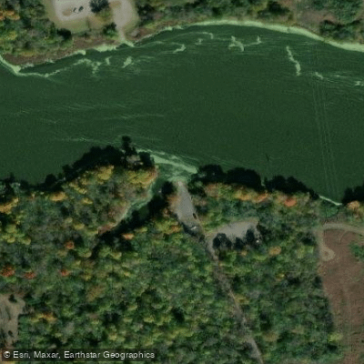
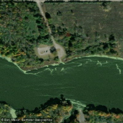
Learn how to get on Pisgah Lake. Uncover great paddling access points, boat ramps, and all the facilities you need for an unforgettable day on the water. Some locations shown may border or include private property. Always check property boundaries and applicable regulations before visiting. PaddleWays's Public & Private Land layer can help you plan your access with confidence.
Paddle smarter with real-time insights
Whether you're en route and conditions shift or you're looking for the best spot based on current flows, we enable you to make informed decisions on the fly.








Find Places to Paddle

Over 400,000 Places to Paddle
Every user gets free access to launch points, boat ramps, and public property parcels.


Water and weather conditions (10 day forecast)
See the best times to paddle Pisgah Lake and check the forecast before you go.
No forecast data available.
Paddling near Pisgah Lake

White River
Big Blue River
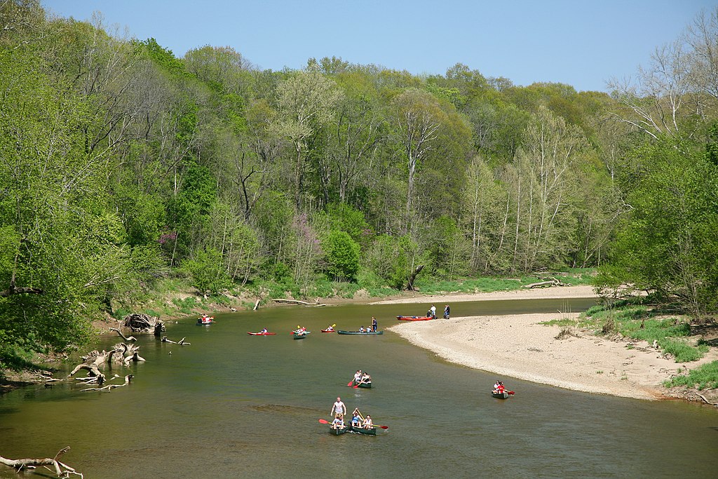
Sugar Creek
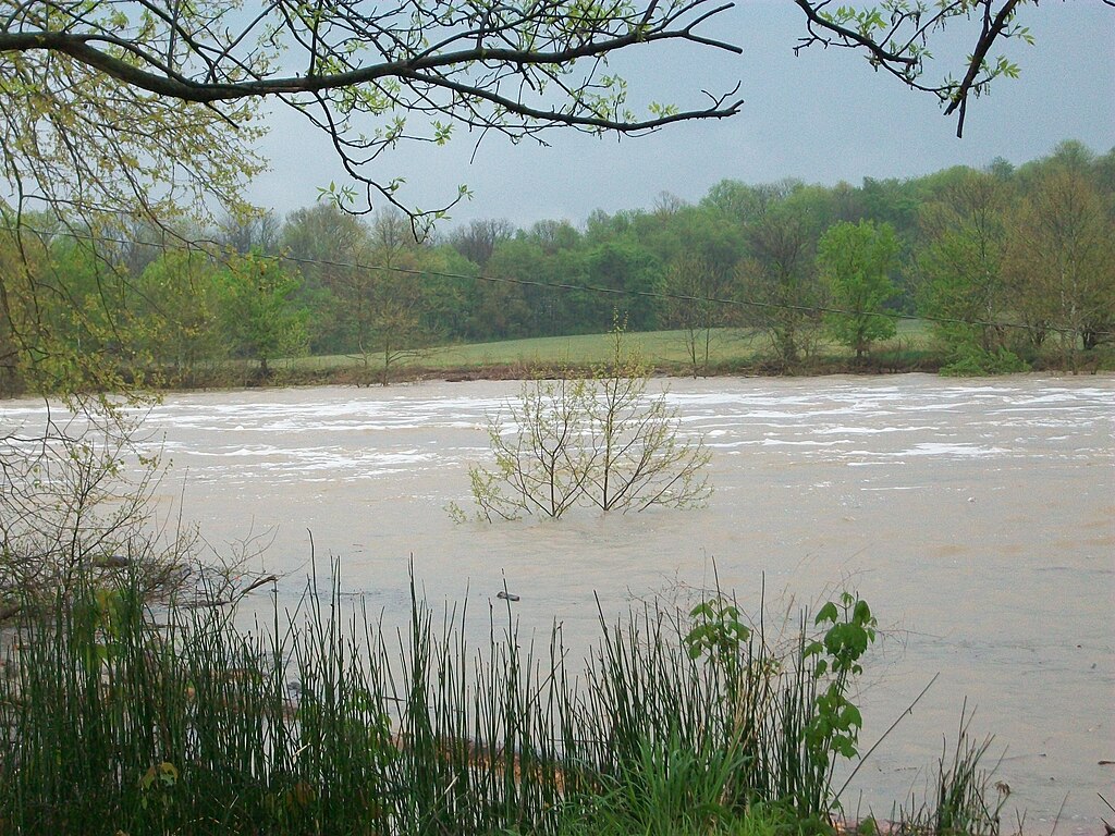
East Fork White River
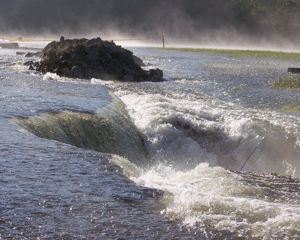
Monroe Lake
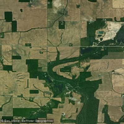
Flatrock River
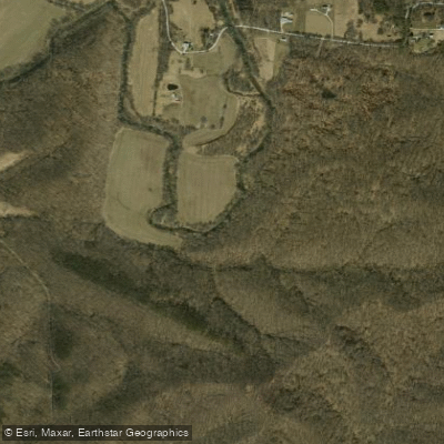
North Fork Salt Creek
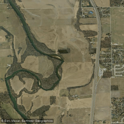
Driftwood River
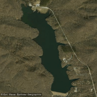
Yellowwood Lake
Explore Indiana waters
Top paddling waters
Popular Cities
Loading popular cities...
Explore near Pisgah Lake
Access points
Nearby waters
More in Indiana

Smarter Paddling Starts in the App.
Paddleways gives you everything you need to plan smarter, paddle better, and own every trip from first launch to takeout.