Curated by PaddleWays
RouteClass I–II
- Distance
- 10.4 mi
- Paddle time
- ~3.5 hrs
- Best for
- Kayak, canoe
- Put-in & take-out
- Greenville Creek Canoe Launch
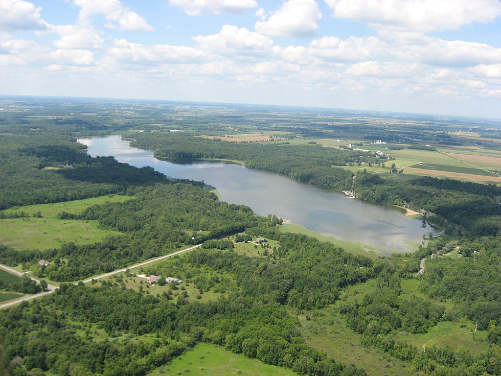
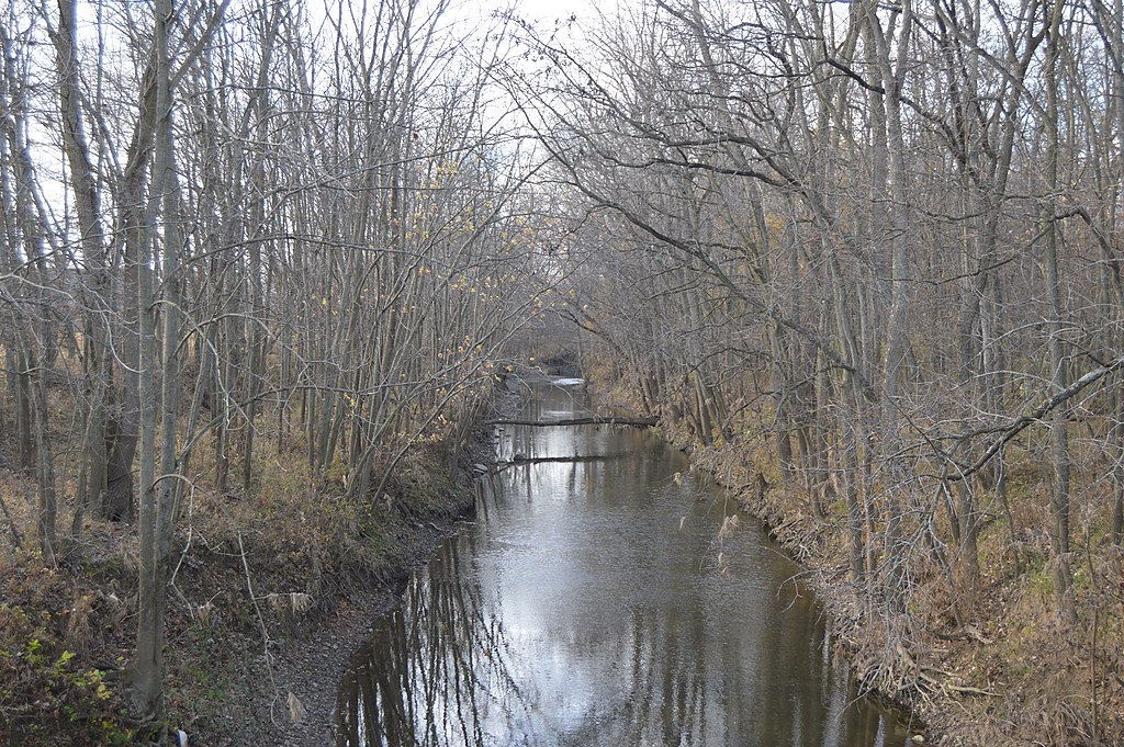
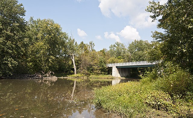
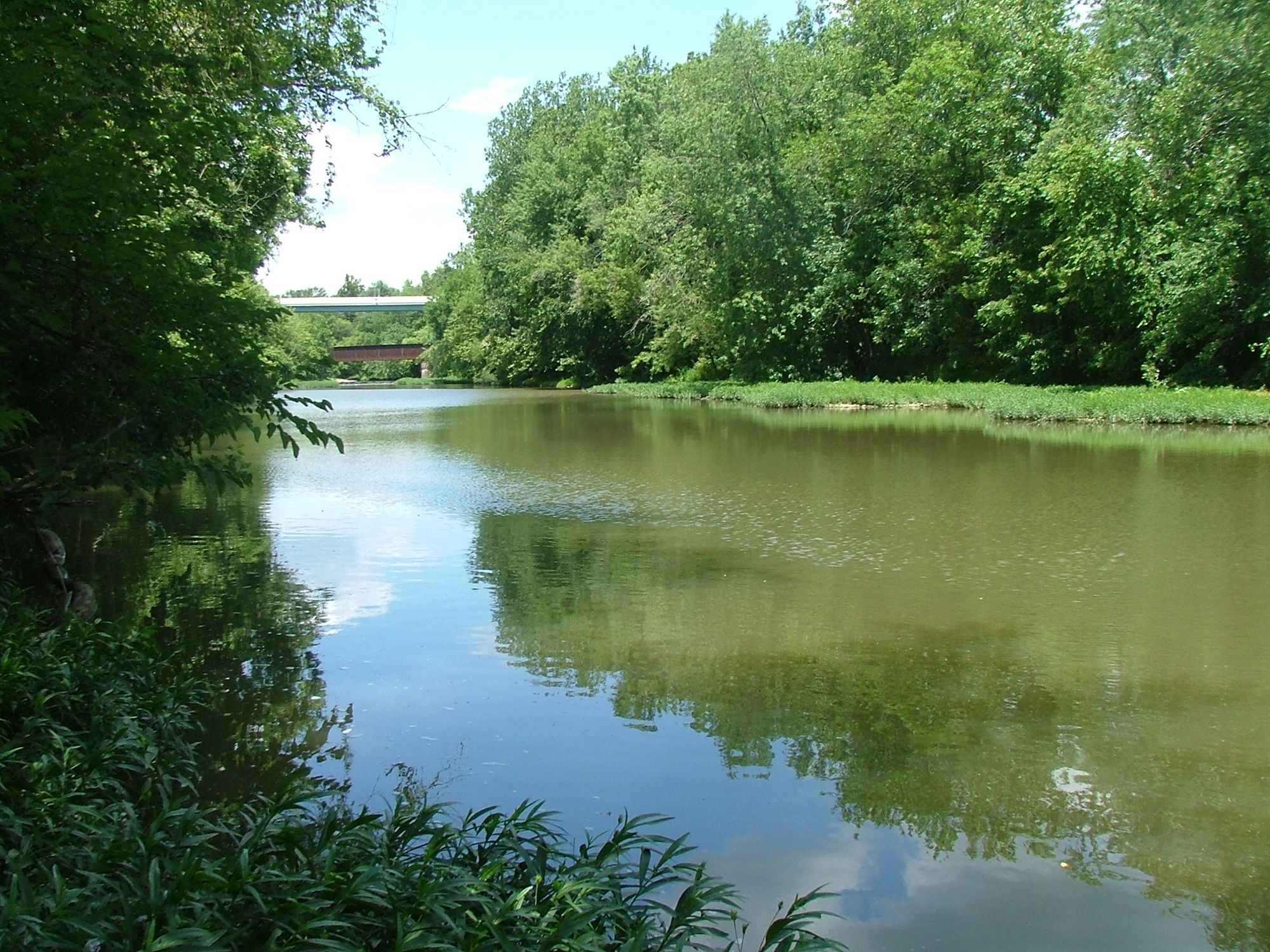
Greenville Creek is a scenic waterway in western Ohio, originating near the Indiana-Ohio border and flowing eastward for approximately 30 miles before joining the Stillwater River near Covington. This tributary of the Great Miami River watershed meanders through the glaciated plains of Darke and Miami counties, carving a path through ancient glacial deposits. The creek offers paddlers a range of experiences, from gentle urban floats to more adventurous runs through glacial canyons.
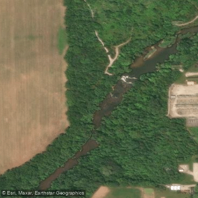
The most notable section is the 10-mile Glacial Canyon Run, which begins at Greenville Falls State Scenic River Area. Here, paddlers encounter a dramatic 20-foot cascading waterfall before entering a deep gorge characterized by towering cliffs and a natural rock arch. While mostly Class I-II in difficulty, this run requires some portaging and wading in low water conditions.
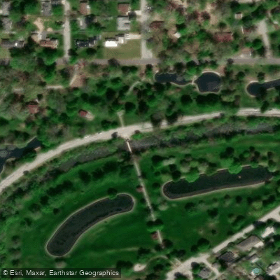
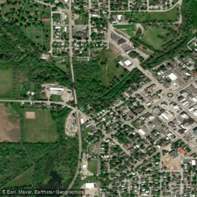
For a more leisurely paddle, the Greenville City Park section provides an easy 2-4 mile urban float suitable for beginners. The creek maintains a width of 30-50 feet through this stretch, offering pleasant scenery and occasional riffles.
Greenville Creek's flow is generally most reliable in spring and early summer, with late summer and fall often requiring careful navigation of shallow spots. The creek and surrounding corridor support diverse wildlife, including smallmouth bass, various bird species, and riparian mammals.
Key access points include Greenville City Park, Greenville Falls State Scenic River Area, and the confluence with the Stillwater River near Covington. The creek passes through or near several historic sites, including the location of the 1795 Treaty of Greenville between the United States and Native American tribes.
Paddlers should be aware of occasional low-head dams and should always check water levels before embarking. The entire length of Greenville Creek is designated as a State Scenic River, reflecting its ecological and recreational value.
For those seeking a longer adventure, it's possible to combine a Greenville Creek trip with paddling on the Stillwater River, creating multi-day excursions through western Ohio's glacial landscape. Whether enjoying a short float or a more extended journey, Greenville Creek offers a quintessential Midwestern paddling experience through a region shaped by ancient ice and flowing water.
Curated routes
Hand-picked by the PaddleWays team, with put-ins, take-outs, paddle times and the hazards along the way.
RouteClass I–II
Hazards
No paddler has reported a hazard here yet, so these are the dams, falls and big rapids on our map. Hazards change with flows and storms, so check them before you launch.
From the community
Nobody has shared a trip on Greenville Creek yet. Paddle it, then tell the next paddler how it went.
See exactly where the public can get on and off the river. Launch points and boat ramps are paired with PaddleWays' public land data so you know where you can legally land.
Public shoreline
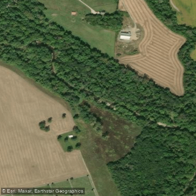
4%of the river's shoreline is public
Most of the riverbank is private. Launch, land and camp only at public access points.
Flows, weather and a route-by-route verdict, so you know which stretch of the Greenville Creek is worth paddling today.
Live flows, marked hazards and fresh trip reports from paddlers who were just on the water, all in one place.





Every user gets free access to launch points, boat ramps, and public property parcels.
Loading popular cities...
PaddleWays gives you everything you need to plan smarter, paddle better, and own every trip from first launch to takeout.