Mill Creek
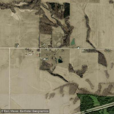
Mill Creek
- Boat Ramps
- 0
- Access Points
- 0
- Campsites
- 8
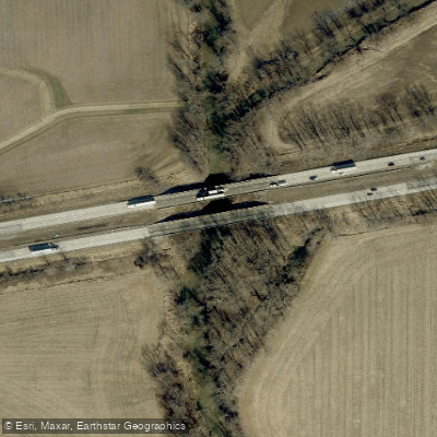
Mill Creek originates in northern Hendricks County, Indiana, flowing generally southwest through Hendricks, Morgan, Owen, and Putnam counties before joining the Eel River near the intersection of these counties. The creek drains approximately 174 miles of stream channels within its watershed, carving through glaciated terrain in the northern reaches and transitioning to more rugged, dissected topography as it progresses southward into Owen and Putnam counties. The creek passes through several communities including Stilesville in Hendricks County, where it crosses beneath U.S. Highway 40, and continues southwest past the town of Amo. Near Cataract in Owen County, Mill Creek encounters one of Indiana's most significant features: Cataract Falls, the state's largest waterfall by volume. The creek flows into Cagles Mill Lake (also known as Cataract Lake), a 1,400-acre reservoir constructed in 1952 as Indiana's first flood-control project, located within Lieber State Recreation Area along the Owen-Putnam county line.
Paddling opportunities exist primarily in the lower sections of Mill Creek, though water levels fluctuate significantly throughout the year. The creek's flow is heavily influenced by seasonal precipitation, with spring typically offering the most reliable conditions. During summer and fall, water levels often drop too low for comfortable paddling, leaving exposed rocks and shallow channels. The watershed's poorly-drained soils contribute to rapid runoff during rainfall events, creating temporary high-water conditions that can be hazardous.
The riparian corridors support typical central Indiana hardwood forests, with oak, hickory, and maple dominating the canopy. Sycamore and silver maple line the immediate streambanks. Wildlife includes white-tailed deer, wild turkey, and various songbirds. The creek and Cagles Mill Lake support populations of bass, bluegill, catfish, and crappie, with the lake being regularly stocked by the Indiana Department of Natural Resources.
Access to Mill Creek is limited compared to larger Indiana waterways. The Vandalia Trail, a rail-trail operated by Hendricks County Parks & Recreation, crosses the creek between Coatesville and Amo, providing one potential access point. Lieber State Recreation Area offers developed access to Cagles Mill Lake and the lower reaches of Mill Creek, with boat ramps and camping facilities available.
Historical significance includes the creek's role in early settlement patterns and mill operations, with several historic covered bridges once spanning tributaries in the watershed. The construction of Cagles Mill Dam fundamentally altered the creek's lower character, creating the reservoir that now serves flood control, recreation, and wildlife habitat functions.
Paddlers should exercise caution during high water, as the creek can rise quickly. Cataract Falls is not navigable and requires portaging. Always check current water levels and weather forecasts before attempting any trip on Mill Creek.
Water access, boat ramps & amenities
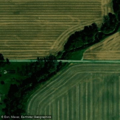
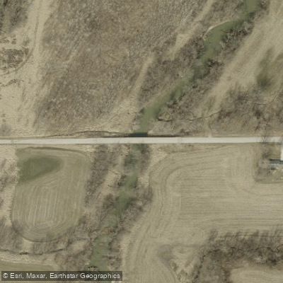
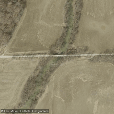
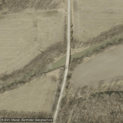
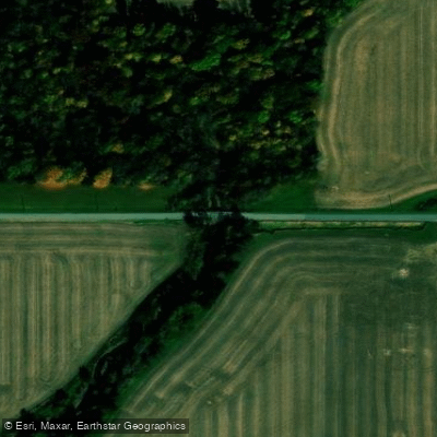
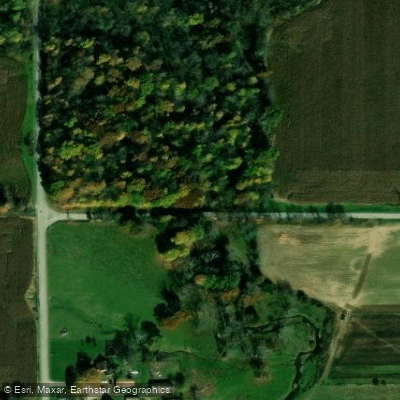
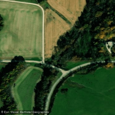
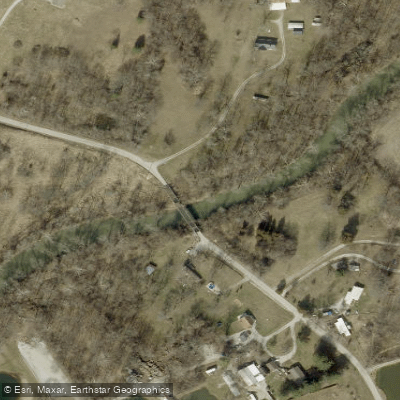
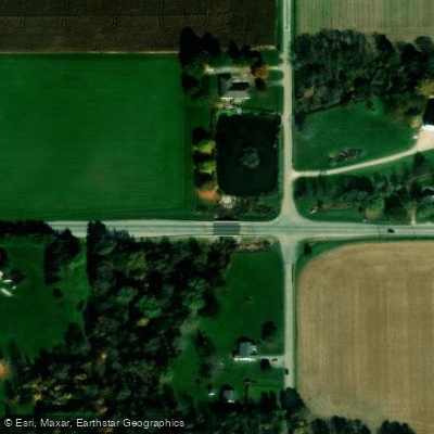
Learn how to get on Mill Creek. Uncover great paddling access points, boat ramps, and all the facilities you need for an unforgettable day on the water. Some locations shown may border or include private property. Always check property boundaries and applicable regulations before visiting. PaddleWays's Public & Private Land layer can help you plan your access with confidence.
Paddle smarter with real-time insights
Whether you're en route and conditions shift or you're looking for the best spot based on current flows, we enable you to make informed decisions on the fly.








Find Places to Paddle

Over 400,000 Places to Paddle
Every user gets free access to launch points, boat ramps, and public property parcels.


Water and weather conditions (10 day forecast)
See the best times to paddle Mill Creek and check the forecast before you go.
MILL CREEK NEAR CATARACT, IN
All Flow Stations
Paddling near Mill Creek

White River
Big Blue River
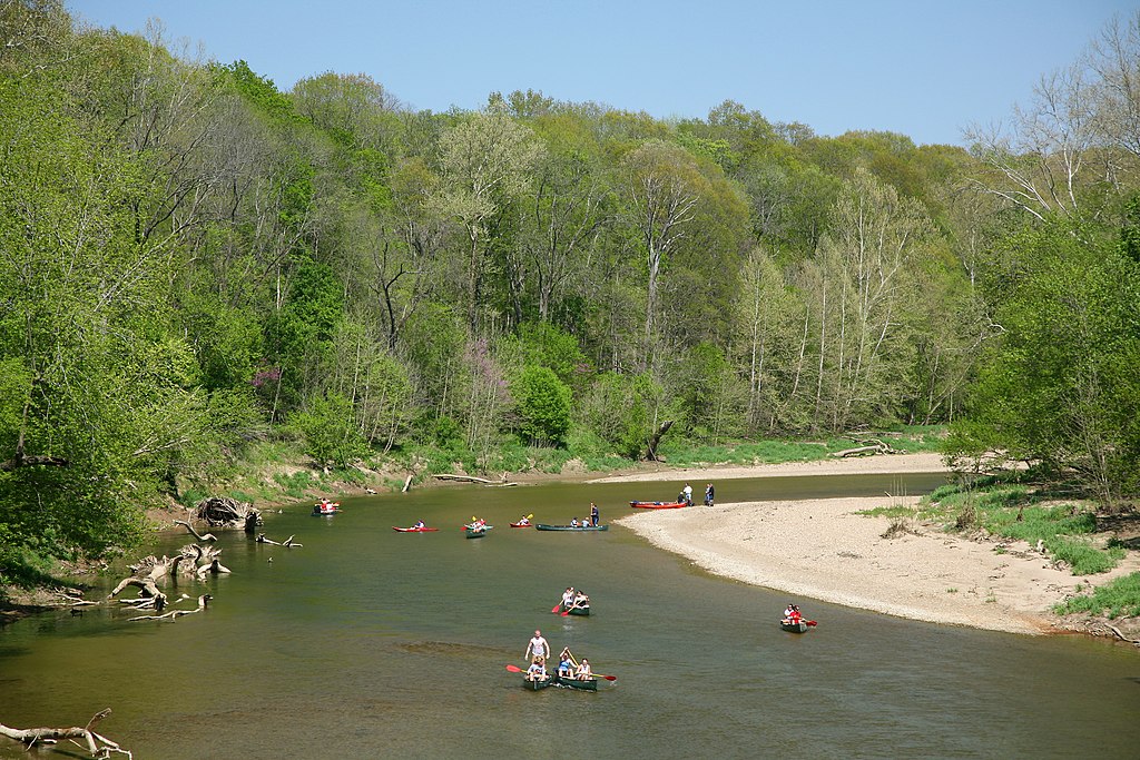
Sugar Creek
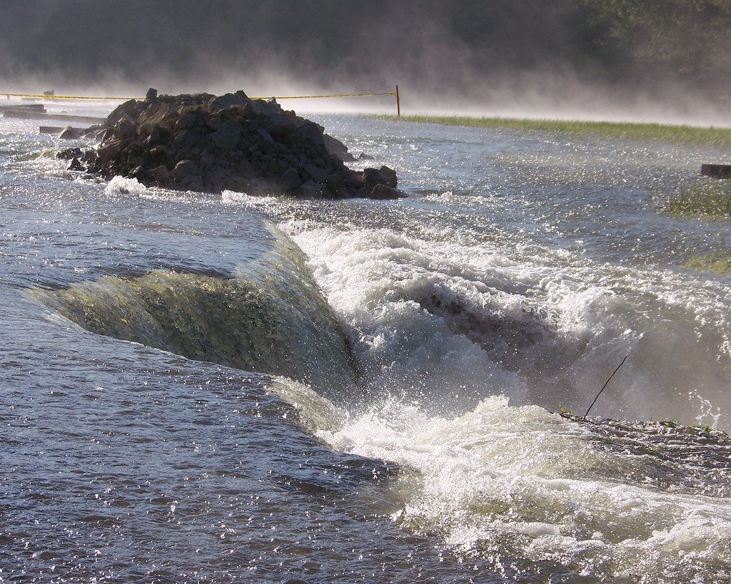
Monroe Lake
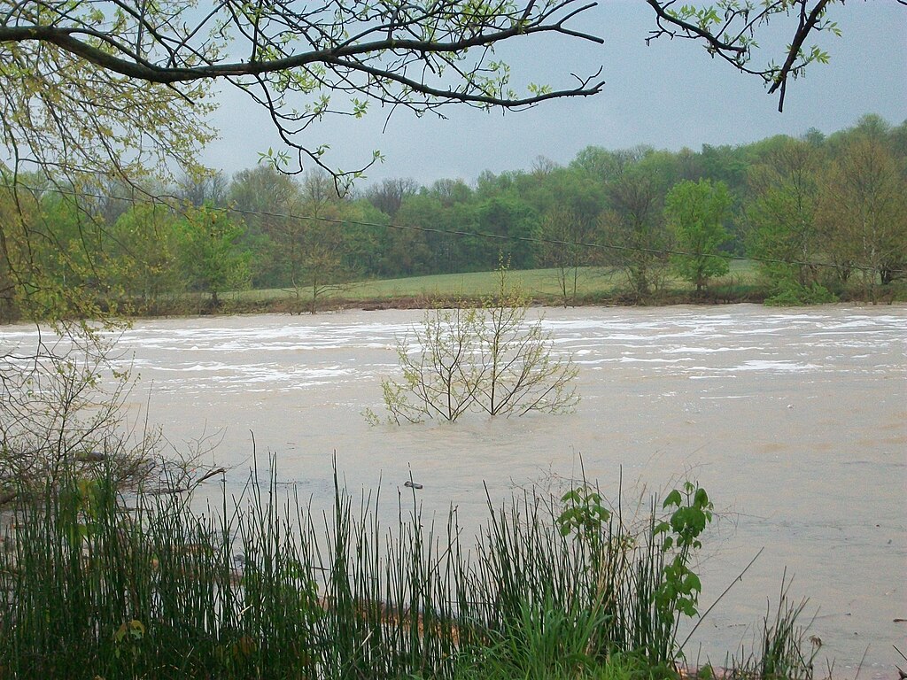
East Fork White River
White Lick Creek
Fall Creek
Eagle Creek Reservoir
Big Walnut Creek
Explore Indiana waters
Top paddling waters
Popular Cities
Loading popular cities...
Explore near Mill Creek
Access points
Nearby waters
More in Indiana

Smarter Paddling Starts in the App.
Paddleways gives you everything you need to plan smarter, paddle better, and own every trip from first launch to takeout.