Middle Fabius River
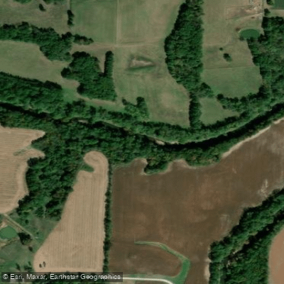
Middle Fabius River
- Boat Ramps
- 0
- Access Points
- 3
- Campsites
- 19
The Middle Fabius River is a scenic waterway in northeast Missouri, flowing approximately 76 miles through rural landscapes. It originates in Scotland County at the confluence of its North and South Forks, both of which rise in Schuyler County. The river flows generally southeastward through Knox and Lewis counties before joining the North Fabius River in southeastern Lewis County.
Paddling opportunities on the Middle Fabius are best suited for canoes and kayaks, with the most popular float being from near Monticello to Ewing. This section offers a mix of long pools with minimal current interspersed with faster-moving water. The river's difficulty ranges from Class I to II, making it suitable for beginner to intermediate paddlers. However, water levels can vary significantly, so checking USGS water data before planning a trip is advisable. The best paddling times are typically in spring and early summer when water levels are higher. Late summer and fall can see lower water levels, potentially requiring paddlers to walk their boats through shallow riffles.
The river's watershed is primarily agricultural, with a mix of cropland and pasture. Wildlife enthusiasts will appreciate the opportunity to spot wood ducks, turkeys, and deer along the river's banks. The Middle Fabius is one of the few northern Missouri streams that have not been extensively channelized, preserving much of its natural character and providing habitat for various aquatic species.
Key access points include put-ins near Monticello and take-outs near Ewing, with the town of Monticello serving as the primary nearby community. The river passes through the Indian Hills Conservation Area, offering additional recreational opportunities.
Historically, the Fabius River system, including the Middle Fabius, was home to Native American tribes such as the Missouri, Osage, Fox, and Sac. Today, the river plays a role in local agriculture and conservation efforts.
Safety considerations include being prepared for variable water conditions and self-sufficient trips, as amenities along the river are limited. Paddlers should be aware of potential logjams and strainers, especially after high water events. While most trips on the Middle Fabius are day floats, its connection to the larger Fabius River system offers potential for multi-day adventures for more experienced paddlers willing to plan carefully and respect private property along the banks.
The Middle Fabius River provides a peaceful paddling experience through the heartland of Missouri, offering a blend of natural beauty, wildlife viewing, and a glimpse into the state's rural character.
Water access, boat ramps & amenities
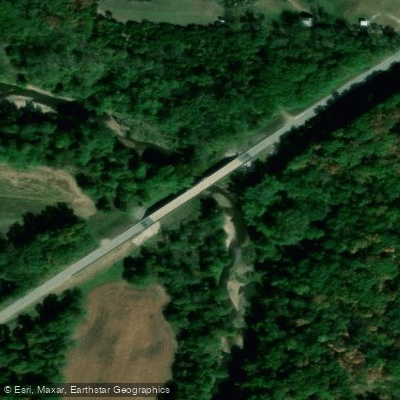
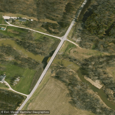
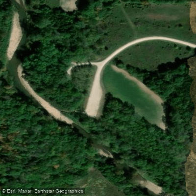
Learn how to get on Middle Fabius River. Uncover great paddling access points, boat ramps, and all the facilities you need for an unforgettable day on the water. Some locations shown may border or include private property. Always check property boundaries and applicable regulations before visiting. PaddleWays's Public & Private Land layer can help you plan your access with confidence.
Paddle smarter with real-time insights
Whether you're en route and conditions shift or you're looking for the best spot based on current flows, we enable you to make informed decisions on the fly.








Find Places to Paddle

Over 400,000 Places to Paddle
Every user gets free access to launch points, boat ramps, and public property parcels.


Water and weather conditions (10 day forecast)
See the best times to paddle Middle Fabius River and check the forecast before you go.
Middle Fabius River near Ewing, MO
Paddling near Middle Fabius River

Mississippi River
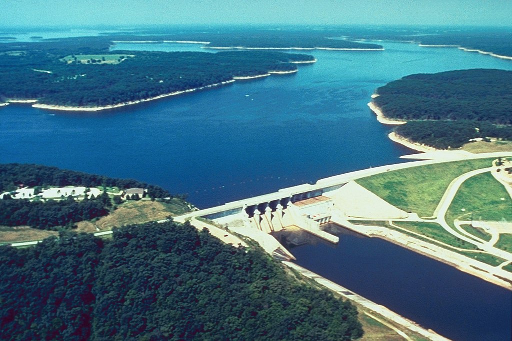
Mark Twain Lake
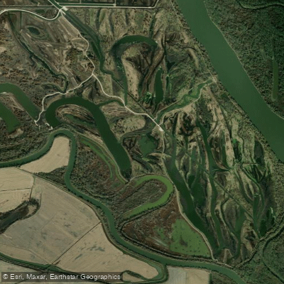
Horseshoe Lake
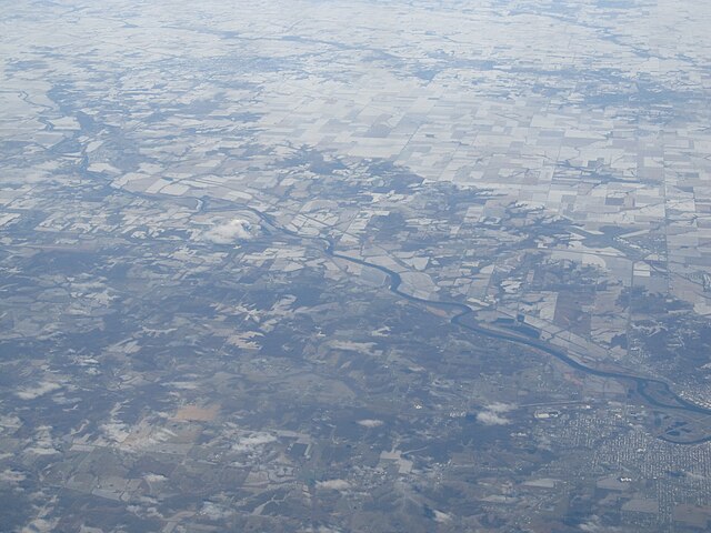
Des Moines River
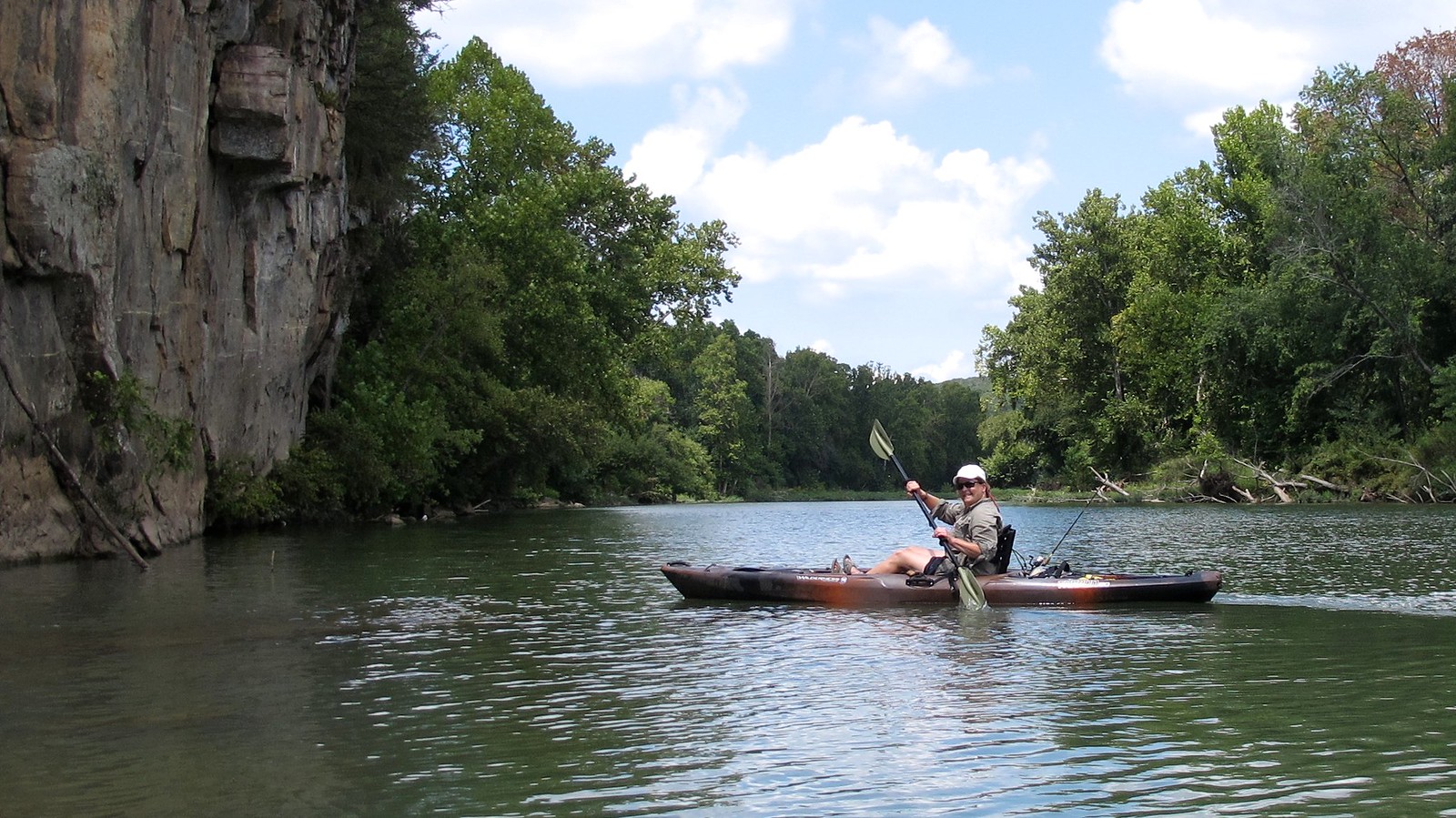
Illinois River
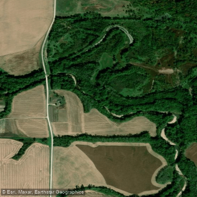
South Fabius River
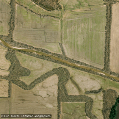
North Fabius River
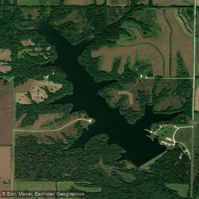
Henry Sever Lake
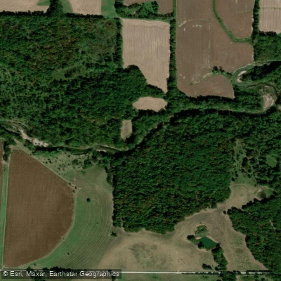
North River
Explore Missouri waters
Top paddling waters
Popular Cities
Loading popular cities...
Explore near Middle Fabius River
Access points
Nearby waters
More in Missouri

Smarter Paddling Starts in the App.
Paddleways gives you everything you need to plan smarter, paddle better, and own every trip from first launch to takeout.