South Fabius River
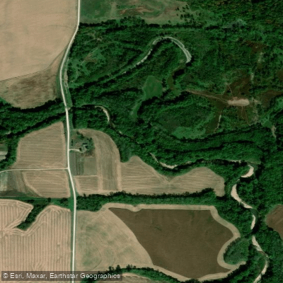
South Fabius River
- Boat Ramps
- 0
- Access Points
- 3
- Campsites
- 10
The South Fabius River is a scenic waterway located in northeast Missouri, forming part of the larger Fabius River system. It flows generally southward, eventually joining the Mississippi River. The river is one of three main forks of the Fabius River, alongside the North and Middle Fabius. Paddling opportunities on the South Fabius are primarily concentrated on a 9.25-mile stretch from the Hester Wildlife Area to Highway 61. This section offers a mix of easy paddling and moderate rapids, classified as Class I-II(III) depending on water levels.
The river is characterized by long pools with little to no current, interspersed with faster-moving sections and shallow rapids. The difficulty of the South Fabius makes it suitable for intermediate paddlers or beginners with some experience. However, paddlers should be prepared for stretches where active paddling through calm water is necessary, as well as the potential need to walk canoes through riffles during low water periods.
The South Fabius is a seasonal river, with optimal paddling conditions varying throughout the year. Paddlers should check water levels before planning a trip, as low water can significantly impact navigability, especially in the shallow rapid sections.
Wildlife is abundant along the South Fabius, offering opportunities to spot turkeys and wood ducks. The river corridor supports a diverse ecosystem typical of Missouri's waterways. A key landmark near the South Fabius is Crowder State Park, which adds to the scenic value of the paddling experience. The park may offer additional recreational opportunities for paddlers looking to extend their visit to the area.
Access points for the South Fabius include the put-in at Hester Wildlife Area and the take-out at Highway 61. The nearest town mentioned in relation to the river is Gilman City.
Safety considerations for the South Fabius include being prepared for varying water levels and potentially having to navigate or walk through shallow sections. Paddlers should also be aware of the long pools with no current, which require sustained paddling effort.
While multi-day trip options are not explicitly mentioned for the South Fabius, the overall Fabius River system has over 56 miles of paddleable water across its various forks, suggesting potential for extended trips for those willing to explore beyond the main described section.
Water access, boat ramps & amenities
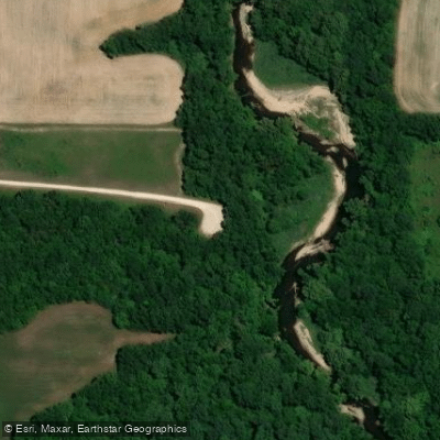
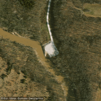
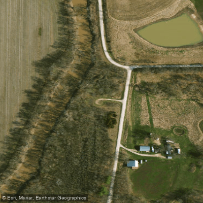
Learn how to get on South Fabius River. Uncover great paddling access points, boat ramps, and all the facilities you need for an unforgettable day on the water. Some locations shown may border or include private property. Always check property boundaries and applicable regulations before visiting. PaddleWays's Public & Private Land layer can help you plan your access with confidence.
Paddle smarter with real-time insights
Whether you're en route and conditions shift or you're looking for the best spot based on current flows, we enable you to make informed decisions on the fly.








Find Places to Paddle

Over 400,000 Places to Paddle
Every user gets free access to launch points, boat ramps, and public property parcels.


Water and weather conditions (10 day forecast)
See the best times to paddle South Fabius River and check the forecast before you go.
South Fabius River above Newark, MO
All Flow Stations
Paddling near South Fabius River

Mississippi River
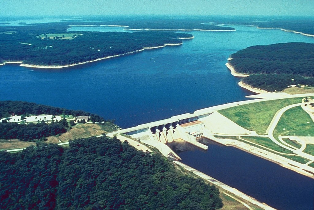
Mark Twain Lake
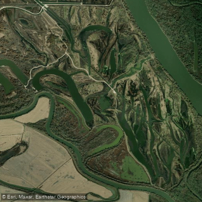
Horseshoe Lake
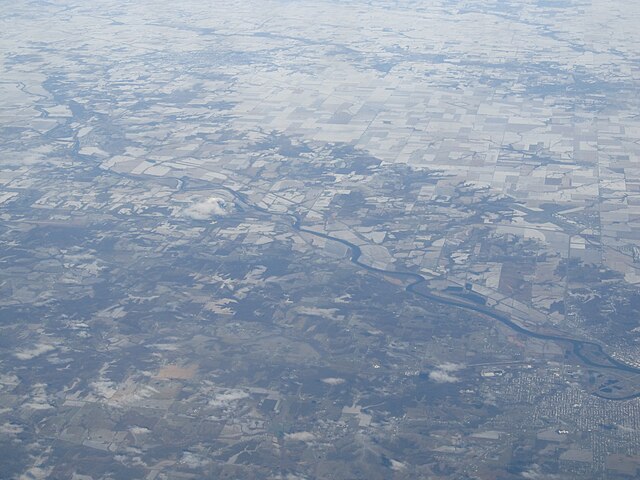
Des Moines River
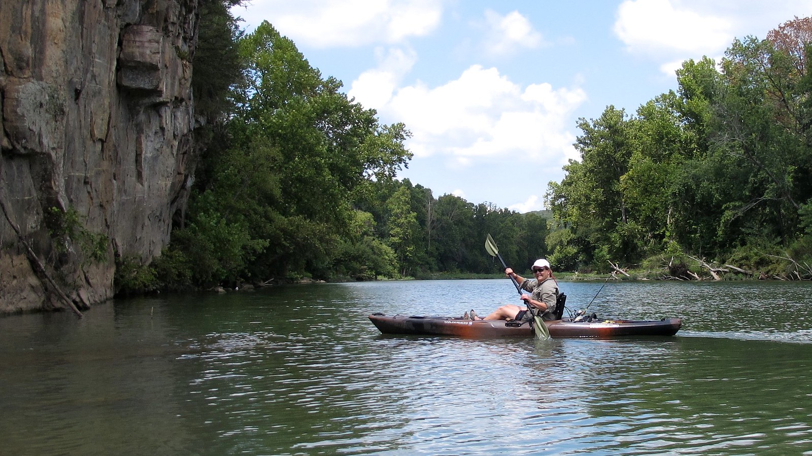
Illinois River
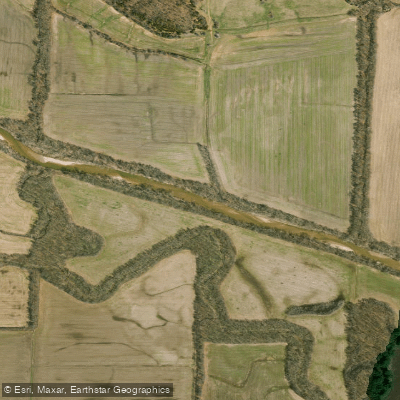
North Fabius River
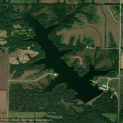
Henry Sever Lake
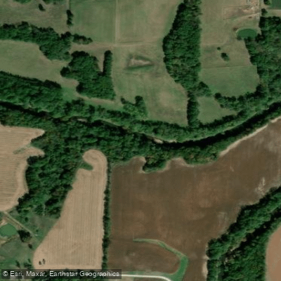
Middle Fabius River
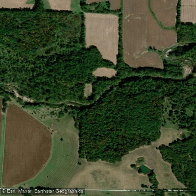
North River
Explore Missouri waters
Top paddling waters
Popular Cities
Loading popular cities...
Explore near South Fabius River
Access points
Nearby waters
More in Missouri

Smarter Paddling Starts in the App.
Paddleways gives you everything you need to plan smarter, paddle better, and own every trip from first launch to takeout.