Curated by PaddleWays
RouteClass II
- Distance
- 5.3 mi
- Paddle time
- 2–3 hrs
- Put-in → take-out
- Mederville Access → Littleport Access
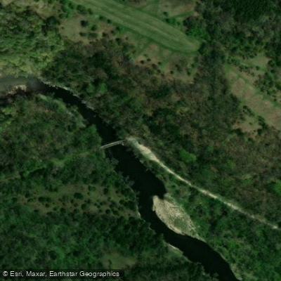
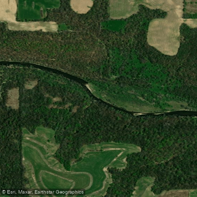
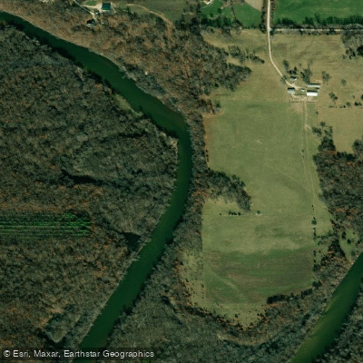
The Volga River is a scenic waterway in northeastern Iowa, originating in Fayette County and flowing generally eastward for approximately 80 miles before joining the Turkey River near Elkport. This tributary of the Turkey River drains a watershed within the Driftless Area, characterized by steep bluffs, limestone outcroppings, and heavily forested hillsides. Paddling opportunities on the Volga range from easy floats to more challenging whitewater sections, with difficulty levels typically between Class I-III.
Popular paddling routes include the stretch from Twin Bridge Park to the Turkey River confluence (about 20 miles), and the scenic segment from Fayette to Heron Road (8-9 miles) through the Volga River State Recreation Area. The river is best paddled in spring and early summer when water levels are higher. Late summer and fall can see low water conditions that may require portaging in some areas.
The Volga's jade green waters are flanked by limestone bluffs and dense forests, providing habitat for diverse wildlife including wild turkeys, deer, and various bird species. Key landmarks include the Volga River State Recreation Area, offering camping, hiking trails, and equestrian facilities. The historic town of Fayette serves as a common starting point for many paddling trips. Other notable access points include Osborne Park, Littleport Park, and the confluence with the Turkey River.
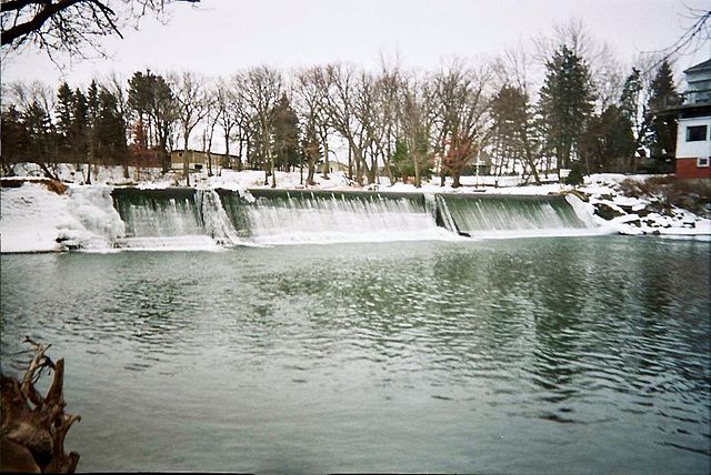
The Volga played a role in early Iowa settlement and industry, with several mill sites along its course. Today, it's valued for its natural beauty and recreational opportunities. Paddlers should be aware of potential logjams and strainers, especially after high water events. Life jackets are required, and checking current water levels is advised before any trip. For those seeking a multi-day adventure, it's possible to combine segments for longer journeys, with camping available at several points along the river.
The Volga offers a quintessential Iowa paddling experience, showcasing the state's often-overlooked rugged beauty and providing a range of options for canoeists and kayakers of varying skill levels.
Curated routes
Hand-picked by the PaddleWays team, with put-ins, take-outs, paddle times and the hazards along the way.
RouteClass II
RouteClass II–III
RouteClass II
RouteClass II
RouteClass I–II
Hazards
No hazards are marked on Volga River yet. That is not the same as none being there: if you find one, report it for the next paddler.
From the community
Nobody has shared a trip on Volga River yet. Paddle it, then tell the next paddler how it went.
See exactly where the public can get on and off the river. Launch points and boat ramps are paired with PaddleWays' public land data so you know where you can legally land.
Public shoreline
17%of the river's shoreline is public
Most of the riverbank is private. Launch, land and camp only at public access points.
Flows, weather and a route-by-route verdict, so you know which stretch of the Volga River is worth paddling today.
Live flows, marked hazards and fresh trip reports from paddlers who were just on the water, all in one place.





Every user gets free access to launch points, boat ramps, and public property parcels.
Loading popular cities...
PaddleWays gives you everything you need to plan smarter, paddle better, and own every trip from first launch to takeout.