Wisconsin River Flowage
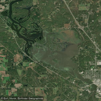
Wisconsin River Flowage
- Boat Ramps
- 3
- Access Points
- 3
- Campsites
- 2
The Wisconsin River Flowage, located in north-central Wisconsin, offers paddlers a scenic and secluded experience. With approximately 6,800 acres of water and 72 miles of shoreline, this reservoir provides ample space for exploration. The flowage was created in 1937 for flood control and river flow management.
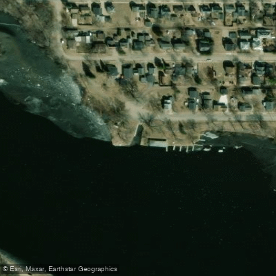
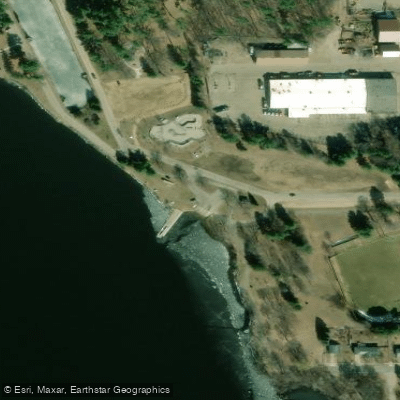
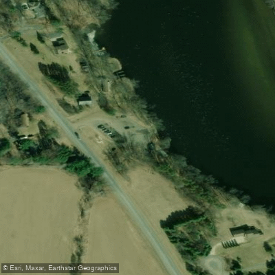
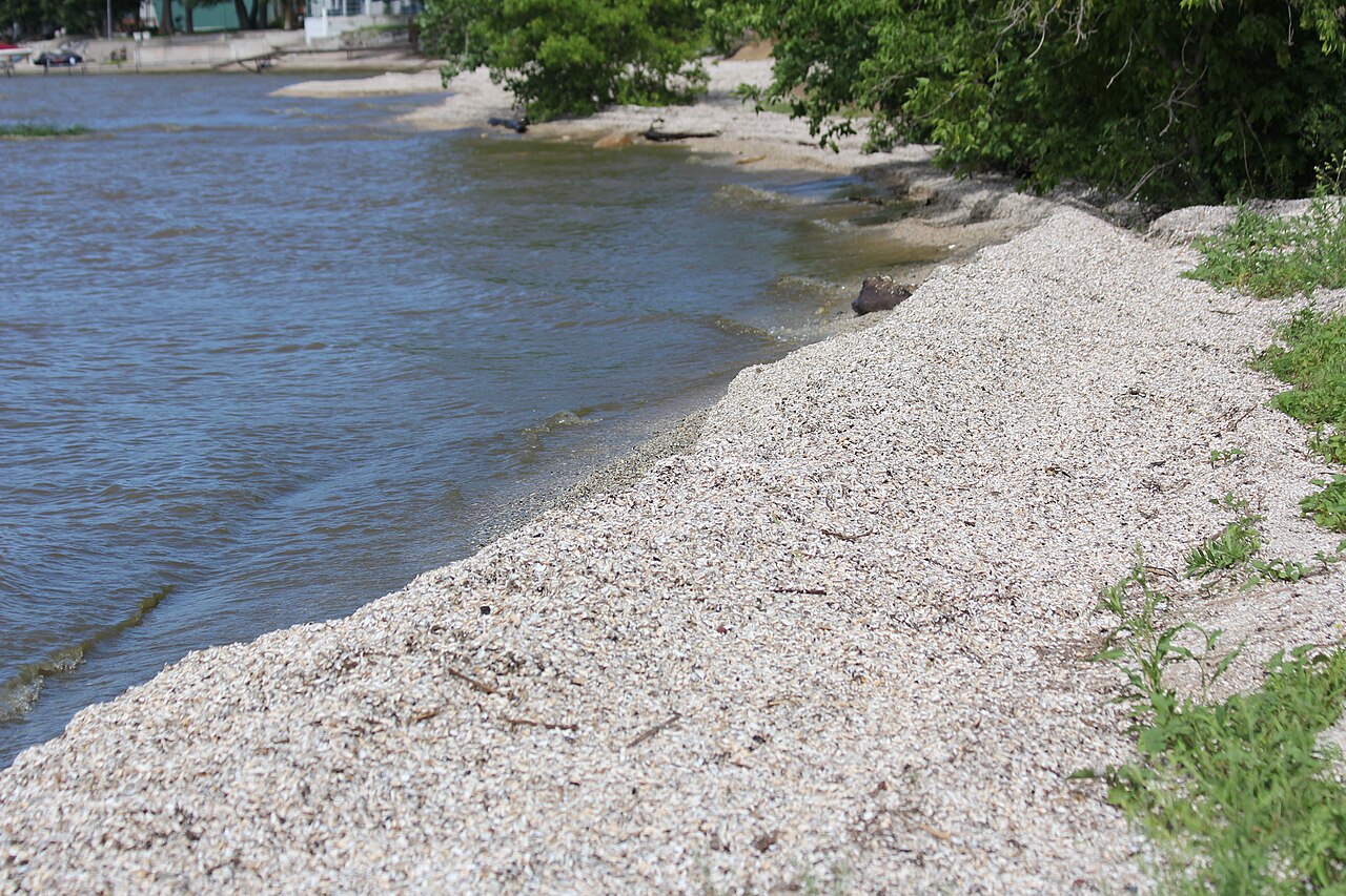
Access points include Veterans Memorial Park in Prairie Du Sac, which has ample parking and camping facilities. The Arena boat landing, about 14 miles downstream, features both a traditional boat ramp and a designated canoe launch on a sandy beach.
While not highly populated, the flowage does see some motorized boat traffic, particularly in the upper sections closer to Prairie Du Sac. Paddlers should be aware of potential wakes and waves. Water levels can change rapidly due to dam operations and rainfall, affecting currents and sandbar availability.
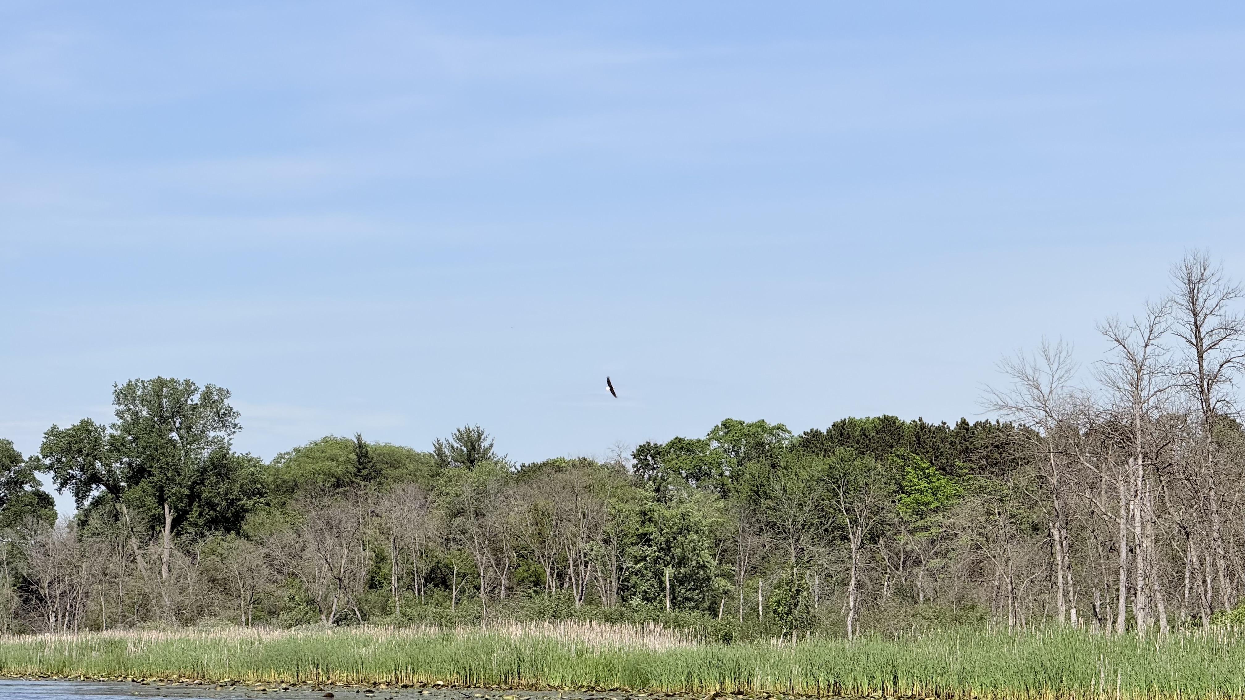
Notable sights include Ferry Bluff State Natural Area, where towering bluffs line the river. The George Mead Wildlife Area borders the southeast end, providing scenic forest and marshland views. Wildlife spotting opportunities abound, with bald eagles, ospreys, pelicans, and various waterfowl frequently seen.
Sandbars are plentiful at lower water levels, offering excellent camping options. No permits are required for camping on sandbars or islands within the Lower Wisconsin State Riverway. However, camping is prohibited within one mile upstream or downstream of the former Mazomanie Beach area.
Water quality has faced challenges, with fish kills occurring in 2009 and 2013 due to low oxygen levels from agricultural runoff and other factors. Recovery efforts are ongoing. Despite these issues, the flowage remains known for northern pike, walleye, crappie, and smallmouth bass fishing.
For day trips, a 8-12 mile paddle is generally recommended, accounting for water levels and wind conditions. The stretch from Prairie Du Sac to Arena (14.25 miles) makes for a popular full-day journey.
Water access, boat ramps & amenities
Learn how to get on Wisconsin River Flowage. Uncover great paddling access points, boat ramps, and all the facilities you need for an unforgettable day on the water. Some locations shown may border or include private property. Always check property boundaries and applicable regulations before visiting. PaddleWays's Public & Private Land layer can help you plan your access with confidence.
Paddle smarter with real-time insights
Whether you're en route and conditions shift or you're looking for the best spot based on current flows, we enable you to make informed decisions on the fly.








Find Places to Paddle

Over 400,000 Places to Paddle
Every user gets free access to launch points, boat ramps, and public property parcels.


Water and weather conditions (10 day forecast)
See the best times to paddle Wisconsin River Flowage and check the forecast before you go.
No forecast data available.
Paddling near Wisconsin River Flowage
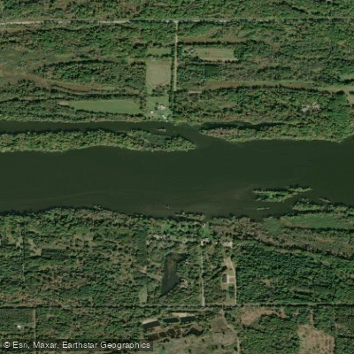
Wisconsin River
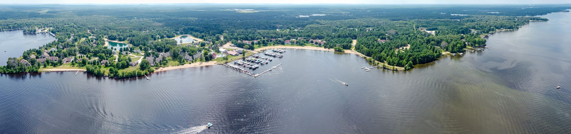
Castle Rock Lake
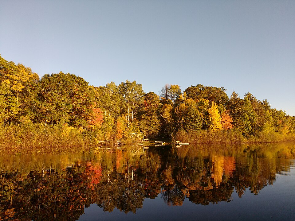
Silver Lake
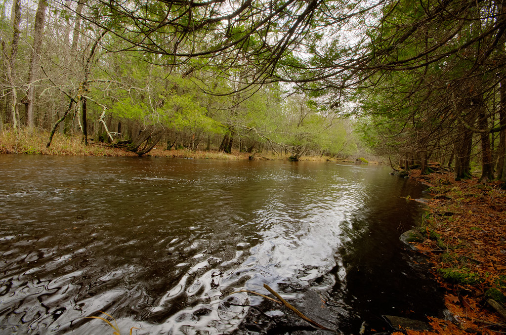
Wolf River
Fox River
Red River
McDill Pond
Lake Dubay 4890
Jordan Pond
Explore Wisconsin waters
Top paddling waters
Popular Cities
Loading popular cities...
Explore near Wisconsin River Flowage
Access points
Nearby waters
More in Wisconsin

Smarter Paddling Starts in the App.
Paddleways gives you everything you need to plan smarter, paddle better, and own every trip from first launch to takeout.