McDill Pond
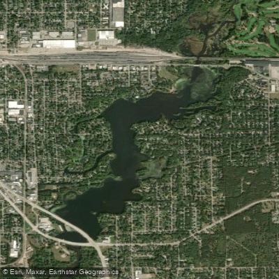
McDill Pond
- Boat Ramps
- 3
- Access Points
- 3
- Campsites
- 3
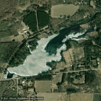
McDill Pond is a 247-acre impoundment of the Plover River in Portage County, Wisconsin. With a maximum depth of 19 feet and average depth of 5 feet, this slow flowage offers beginner-friendly flat water paddling conditions, though it can become choppy on the main body during windy days.
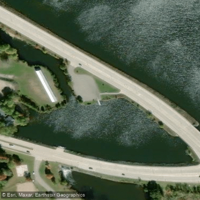
Two public boat launches provide access: one adjacent to Business 51 bridge and another at the end of Heffron Street (3499 Heffron St.). Additional put-in points are available at Koziczkowski Park, which features a swim beach and hiking trails.
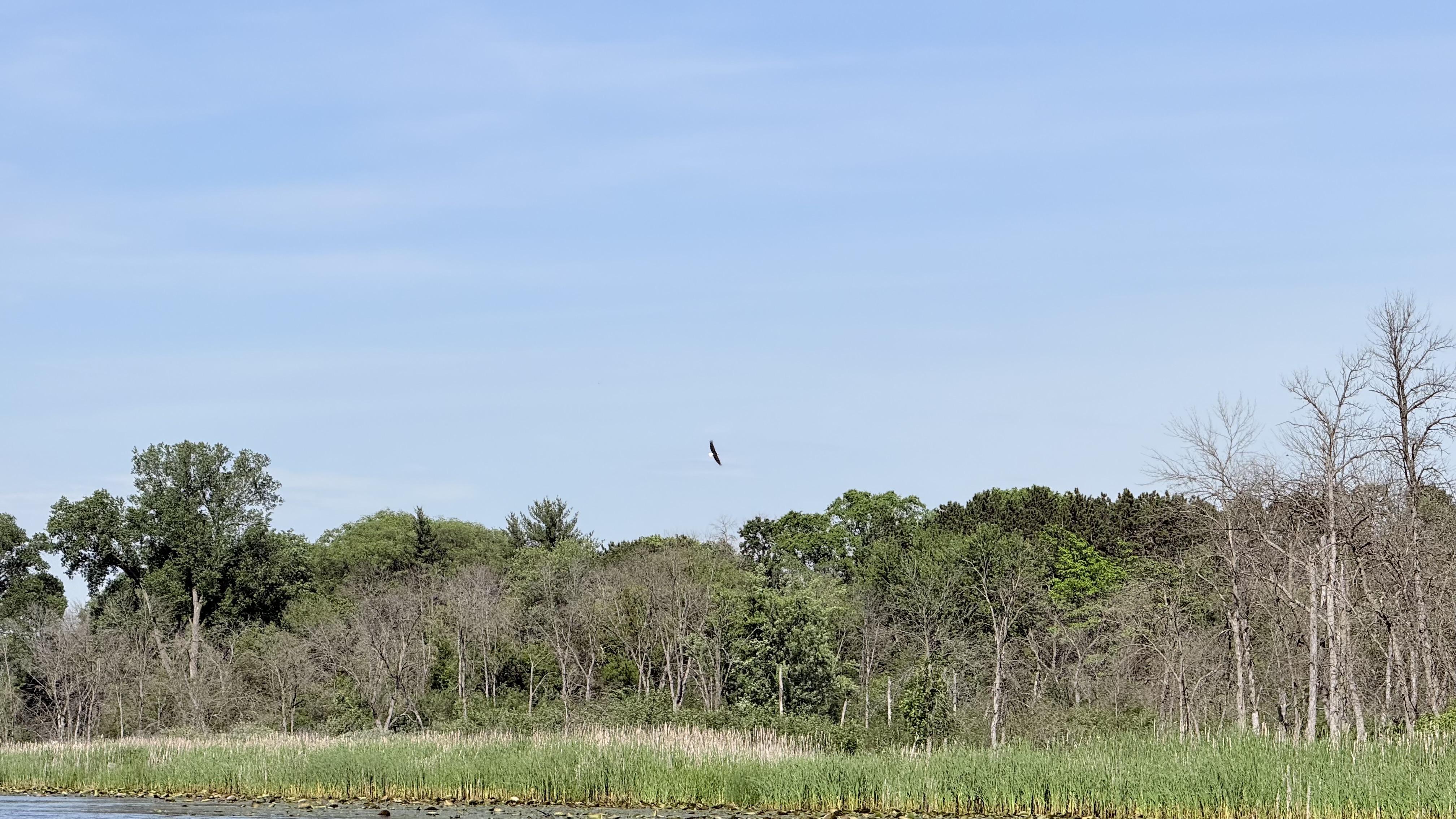
Notable paddling destinations include Spring Slough on the east shore under the power lines, containing the highest aquatic plant diversity in the county. The Godfrey and Maybelle Erickson Audubon Wildlife Area offers excellent wildlife viewing opportunities. Paddlers can observe osprey nests atop the power lines (nestlings visible in early spring) and cliff swallow nests under the Business 51 bridge.
Navigation channels include the North and South Channels on the west shore, which continue through road culverts large enough for canoes and kayaks. The northernmost section features a 16-foot deep area from sand trap dredging, bordered by shallow spawning flats frequented by various bird species.
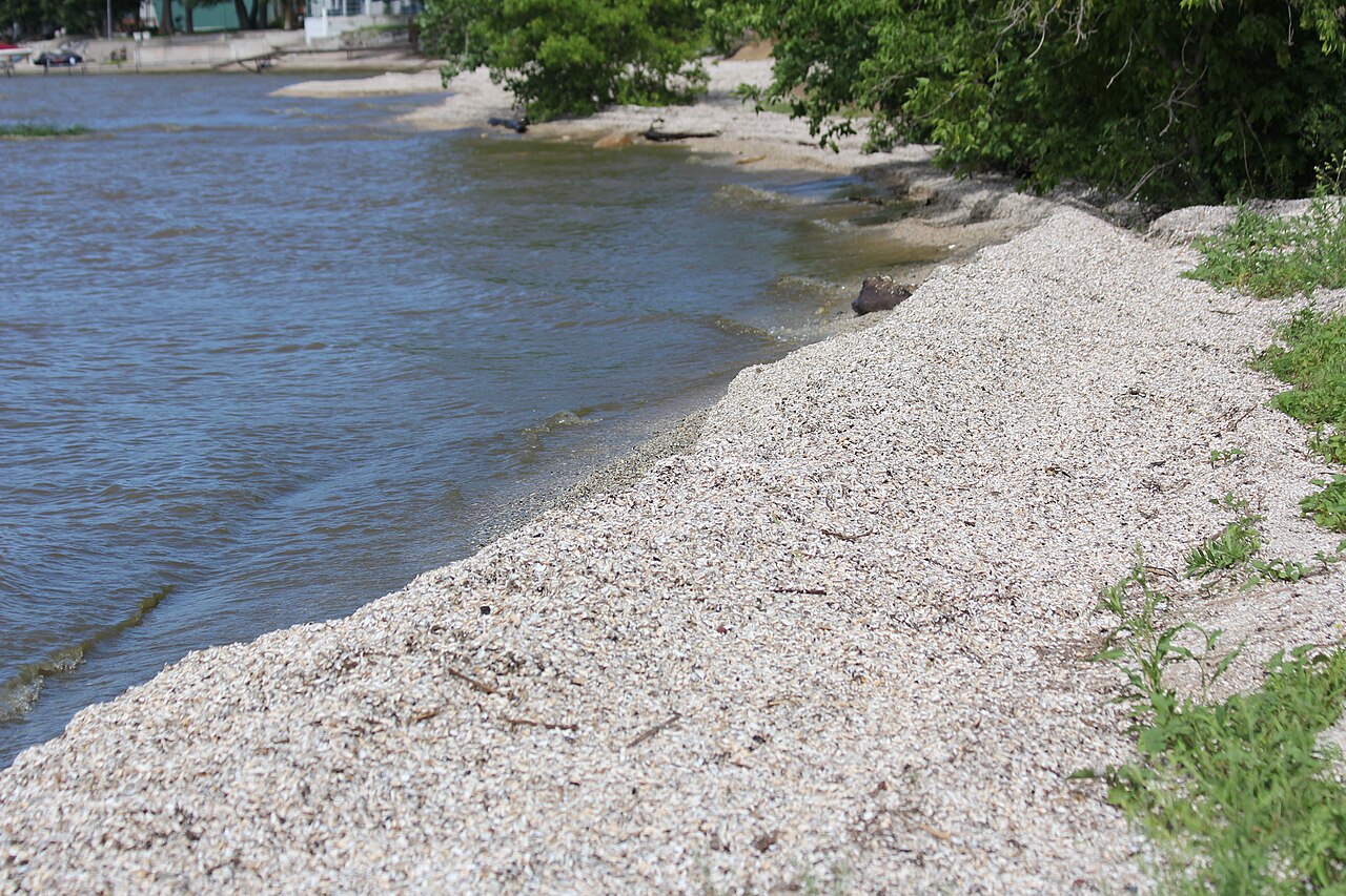
Regulations require slow-no-wake in all channels, and only trolling motors or paddle craft are permitted in Spring Slough. The lake's bottom composition is 60% sand, 20% muck, and 20% gravel. Water clarity is moderate.
A typical paddling circuit exploring the main features takes 2-3 hours to complete. The Green Circle Trail parallels portions of the shoreline. While development lines much of the shore, several natural areas provide opportunities to observe turtles, bluebirds, osprey, and various fish species.
Water access, boat ramps & amenities
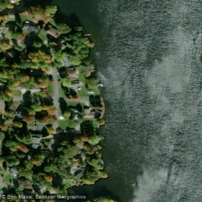
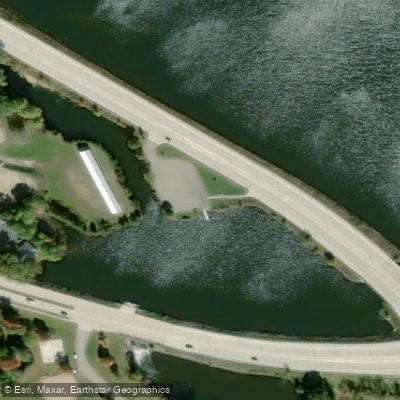
Learn how to get on McDill Pond. Uncover great paddling access points, boat ramps, and all the facilities you need for an unforgettable day on the water. Some locations shown may border or include private property. Always check property boundaries and applicable regulations before visiting. PaddleWays's Public & Private Land layer can help you plan your access with confidence.
Paddle smarter with real-time insights
Whether you're en route and conditions shift or you're looking for the best spot based on current flows, we enable you to make informed decisions on the fly.








Find Places to Paddle

Over 400,000 Places to Paddle
Every user gets free access to launch points, boat ramps, and public property parcels.


Water and weather conditions (10 day forecast)
See the best times to paddle McDill Pond and check the forecast before you go.
No forecast data available.
Paddling near McDill Pond
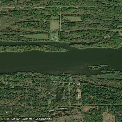
Wisconsin River
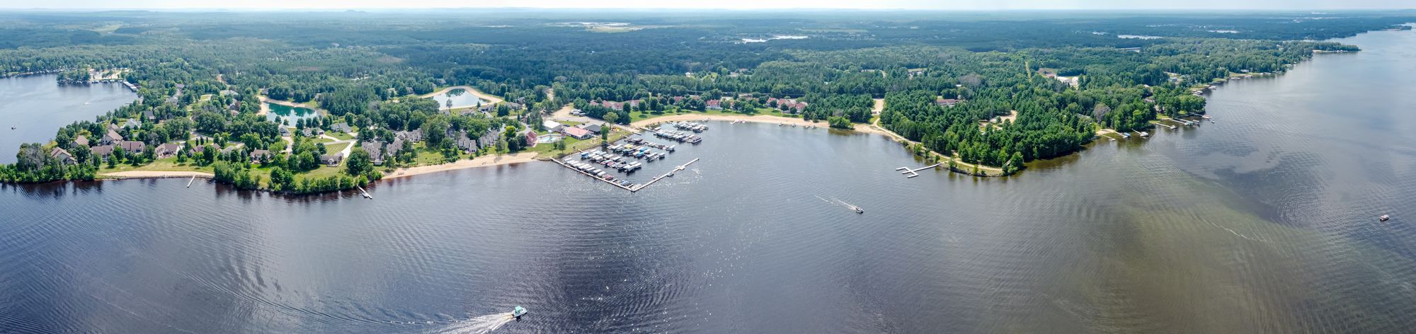
Castle Rock Lake
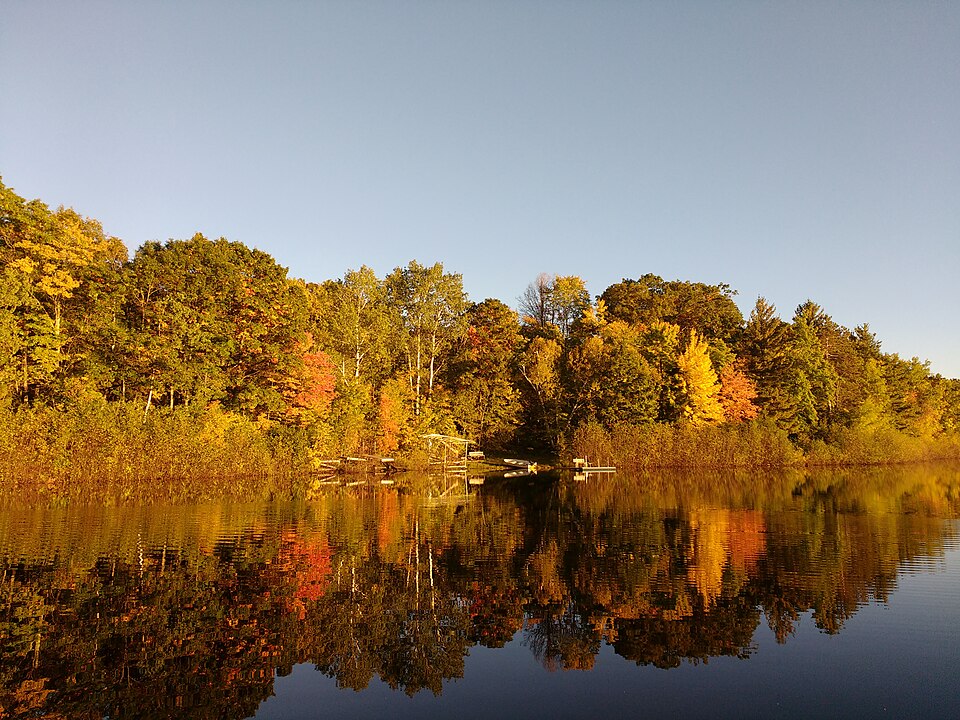
Silver Lake
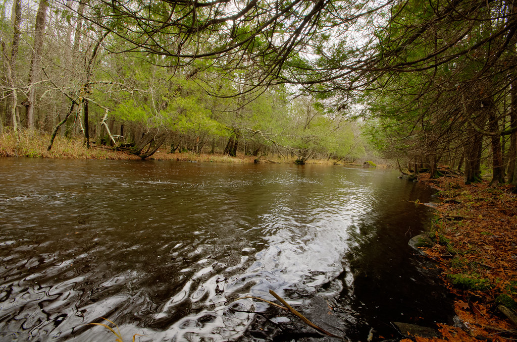
Wolf River
Fox River
Red River
Wisconsin River Flowage
Lake Dubay 4890
Jordan Pond
Explore Wisconsin waters
Top paddling waters
Popular Cities
Loading popular cities...
Explore near McDill Pond
Access points
Nearby waters
More in Wisconsin

Smarter Paddling Starts in the App.
Paddleways gives you everything you need to plan smarter, paddle better, and own every trip from first launch to takeout.