Castle Rock Lake
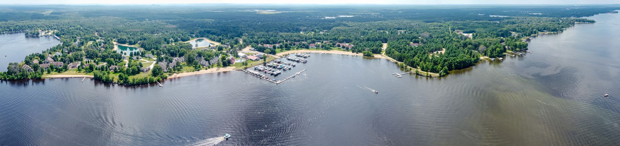
Castle Rock Lake
- Boat Ramps
- 11
- Access Points
- 12
- Campsites
- 9
Castle Rock Lake is a 13,955-acre reservoir on the Wisconsin River, located about 25 miles north of Wisconsin Dells. The lake offers diverse paddling opportunities, with multiple public access points including boat launches and beaches. Buckhorn State Park, situated on the lake's shore, provides an excellent starting point with kayak and canoe rentals available.
The lake is known for its expansive size and numerous islands, creating interesting areas to explore. A popular spot is a small island off Buckhorn's southeastern shore, locally called "Alcatraz," where paddlers often gather. The lake's western shore features several restaurants and bars that paddlers can access directly from the water.
Fishing is a major draw, with abundant populations of musky, walleye, bass, northern pike, and panfish. Anglers can fish from shore or boats. The lake has a maximum depth of 36.5 feet, though much of it is shallower.
Safety considerations include potential heavy boat traffic, especially on summer weekends. Wake from larger boats can create challenging conditions for paddlers in some areas. The lake's size also means weather conditions can change quickly, so paddlers should be prepared for wind and waves.
Buckhorn State Park offers additional amenities including hiking trails, a beach, and camping facilities. The park is known for excellent birdwatching opportunities. In winter, the lake is popular for ice fishing, and the park provides groomed trails for cross-country skiing and snowshoeing.
Castle Rock Lake is part of a larger system including nearby Petenwell Lake, offering extended paddling possibilities for more ambitious trips. The surrounding area features a mix of developed shoreline with homes and resorts, as well as undeveloped forests and wetlands, providing a variety of scenic views for paddlers.
Water access, boat ramps & amenities
Learn how to get on Castle Rock Lake. Uncover great paddling access points, boat ramps, and all the facilities you need for an unforgettable day on the water. Some locations shown may border or include private property. Always check property boundaries and applicable regulations before visiting. PaddleWays's Public & Private Land layer can help you plan your access with confidence.
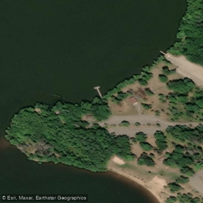
Paddle smarter with real-time insights
Whether you're en route and conditions shift or you're looking for the best spot based on current flows, we enable you to make informed decisions on the fly.








Find Places to Paddle

Over 400,000 Places to Paddle
Every user gets free access to launch points, boat ramps, and public property parcels.


Water and weather conditions (10 day forecast)
See the best times to paddle Castle Rock Lake and check the forecast before you go.
No forecast data available.
Paddling near Castle Rock Lake
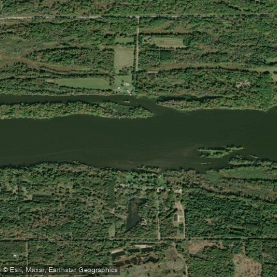
Wisconsin River
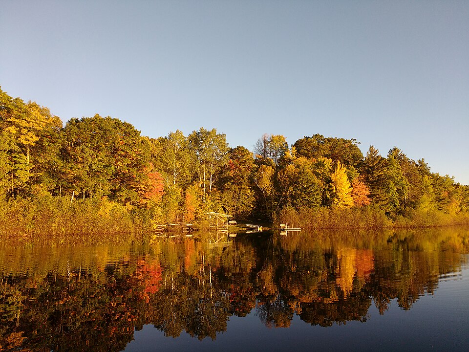
Silver Lake
Wolf River
Fox River
Red River
McDill Pond
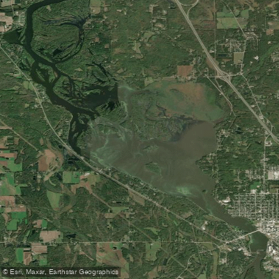
Wisconsin River Flowage
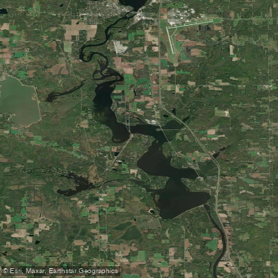
Lake Dubay 4890
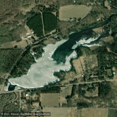
Jordan Pond
Explore Wisconsin waters
Top paddling waters
Popular Cities
Loading popular cities...
Explore near Castle Rock Lake
Access points
Nearby waters
More in Wisconsin

Smarter Paddling Starts in the App.
Paddleways gives you everything you need to plan smarter, paddle better, and own every trip from first launch to takeout.