Jordan Pond
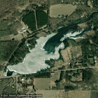
Jordan Pond
- Boat Ramps
- 2
- Access Points
- 2
- Campsites
- 3
Jordan Pond is an 84-acre lake in Portage County, Wisconsin with a maximum depth of 7 feet. The lake is part of Jordan Park and serves as an impoundment of the Plover River, created by a dam that historically supplied hydroelectric power to Stevens Point.
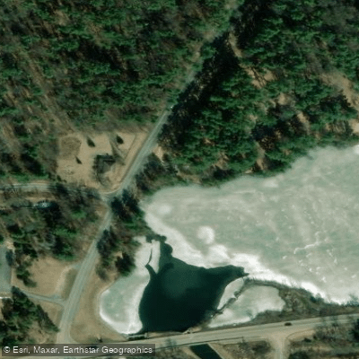
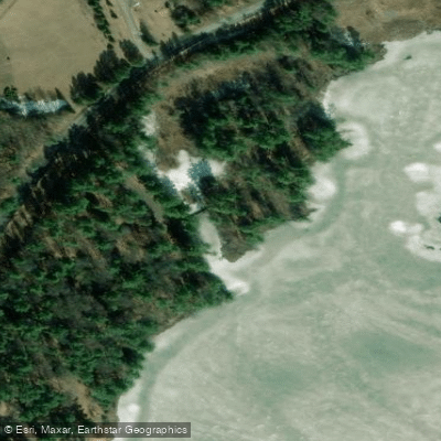
The lake offers multiple access points for paddlers, including a public boat launch and designated canoe/kayak campsites along the right shore. Three dedicated canoe/kayak campsites are available, complemented by picnic areas and a campground within Jordan Park.
Paddlers should be aware that they will share the water with motorized boats. The lake tends to have issues with silt backup and aquatic weeds, typical of artificial impoundments. Water clarity is moderately clear. The lake supports populations of panfish, largemouth bass, and northern pike.
For paddlers continuing downstream on the Plover River, there are two main take-out options at Jordan Park, both on the right side: a paddler-specific landing near the canoe-kayak campsites, and a boat launch about 1,000 feet further down the shoreline. The dam creating Jordan Pond is located on the opposite side of Highway 66.
The surrounding Jordan Park offers full facilities including restrooms, picnic areas, and a boat launch. The park's western shore provides recreational amenities and camping opportunities. While the lake itself is relatively small, it serves as a convenient starting or ending point for longer trips on the Plover River, particularly the popular section from Jordan Park to Iverson Park downstream.
Fish species present include panfish, largemouth bass, and northern pike. The lake's character is typical of a millpond, with areas of weedy, shallow water and deeper channels following the original river course.
Water access, boat ramps & amenities
Learn how to get on Jordan Pond. Uncover great paddling access points, boat ramps, and all the facilities you need for an unforgettable day on the water. Some locations shown may border or include private property. Always check property boundaries and applicable regulations before visiting. PaddleWays's Public & Private Land layer can help you plan your access with confidence.
Paddle smarter with real-time insights
Whether you're en route and conditions shift or you're looking for the best spot based on current flows, we enable you to make informed decisions on the fly.








Find Places to Paddle

Over 400,000 Places to Paddle
Every user gets free access to launch points, boat ramps, and public property parcels.


Water and weather conditions (10 day forecast)
See the best times to paddle Jordan Pond and check the forecast before you go.
No forecast data available.
Paddling near Jordan Pond
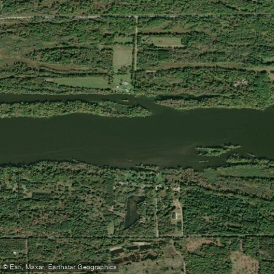
Wisconsin River
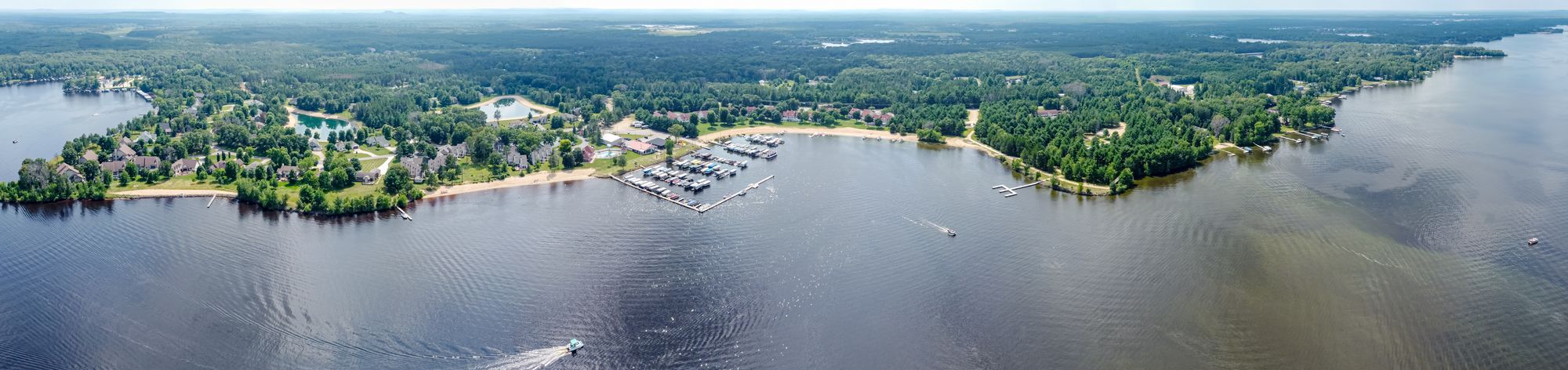
Castle Rock Lake
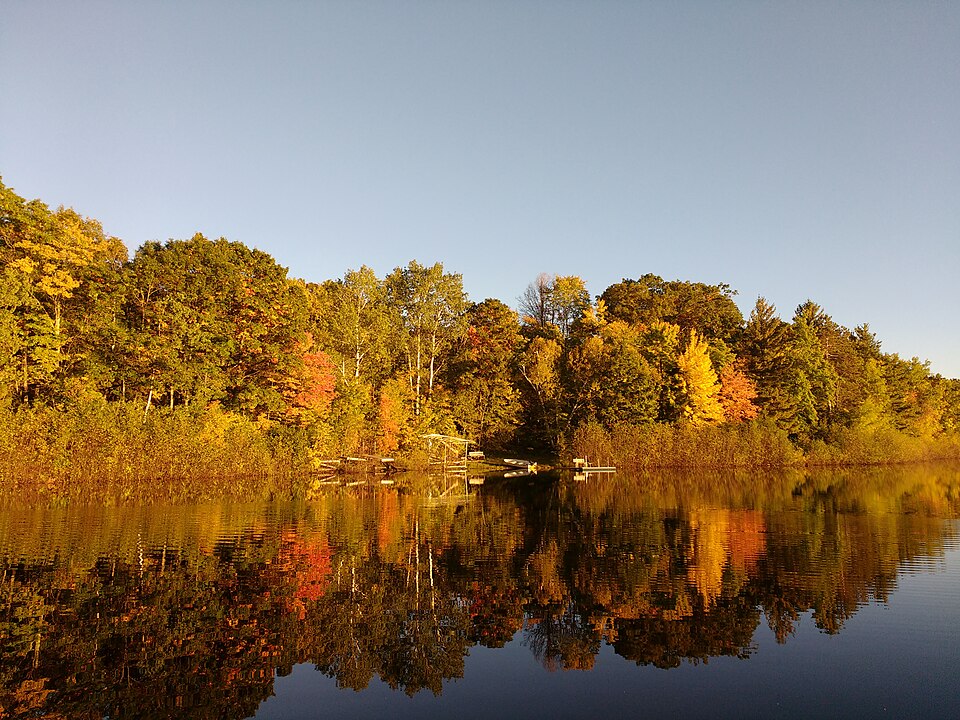
Silver Lake
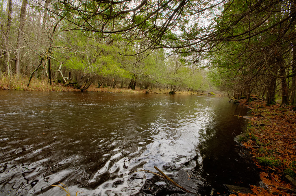
Wolf River
Fox River
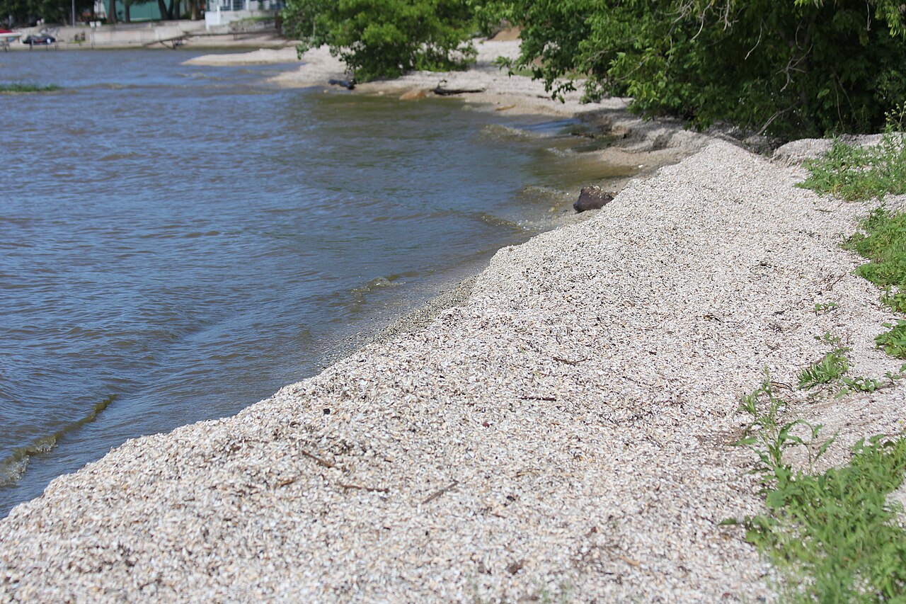
Red River
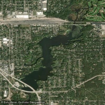
McDill Pond
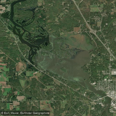
Wisconsin River Flowage
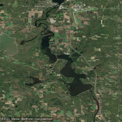
Lake Dubay 4890
Explore Wisconsin waters
Top paddling waters
Popular Cities
Loading popular cities...
Explore near Jordan Pond
Access points
Nearby waters
More in Wisconsin

Smarter Paddling Starts in the App.
Paddleways gives you everything you need to plan smarter, paddle better, and own every trip from first launch to takeout.