Big Hill Lake
- Lake
- 1 hazard marked
- Lake
- 1 hazard marked
- Hazard marked
- 1
- Public shoreline
- 0%
- Boat Ramps
- 2
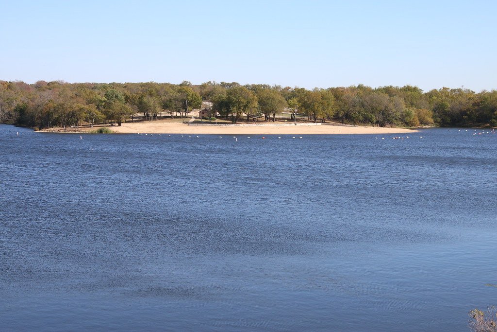
Big Hill Lake is a 500-hectare reservoir located in southeast Kansas between the cities of Cherryvale and Parsons. Known for its crystal clear waters, the lake offers paddlers a scenic experience surrounded by rolling, wooded countryside referred to as the "Little Ozarks." The shoreline features thick oak-hickory forests interspersed with prairie and farmland, providing diverse habitats for wildlife viewing.
The lake has multiple access points, including boat ramps at Cherryvale Park and Mound Valley campgrounds. Paddlers can explore the lake's 160-kilometer shoreline, which includes sandy beaches and rock outcroppings. The 27-kilometer Big Hill Horse Trail winds along parts of the lakeshore, offering scenic views for those paddling near the shore.
Facilities for paddlers include campgrounds, picnic areas, and beaches. Cherryvale Park and Mound Valley campgrounds offer amenities such as drinking water, restrooms, showers, and boat trailer parking. The lake's sand-covered beach provides a spot for taking breaks or enjoying a picnic.
Big Hill Lake is popular for fishing, with species including largemouth bass, crappie, channel and flathead catfish, bluegill, walleye, and smallmouth bass. Paddlers should be aware of fishing activity, especially during tournaments. Almost all land around the lake is open to public hunting (except parks and dam areas), so wearing bright colors is advisable during hunting seasons.
While specific paddling regulations are not mentioned, the lake allows various water activities including boating and water skiing. Paddlers should exercise caution and be aware of other water users, particularly in busy summer months when the lake is popular for cooling off from the heat.
The lake's clear waters and surrounding natural beauty make it an attractive destination for paddlers seeking a mix of scenic views and recreational opportunities in southeast Kansas.
Hazards
Hazards on Big Hill Lake
No paddler has reported a hazard here yet, so these are the dams, falls and big rapids on our map. Hazards change with flows and storms, so check them before you launch.
Big Hill Dam
From our mapDam
From the community
Big Hill Lake trip reports
Nobody has shared a trip on Big Hill Lake yet. Paddle it, then tell the next paddler how it went.
Water access & public shoreline
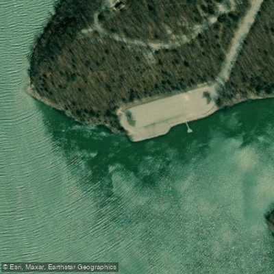
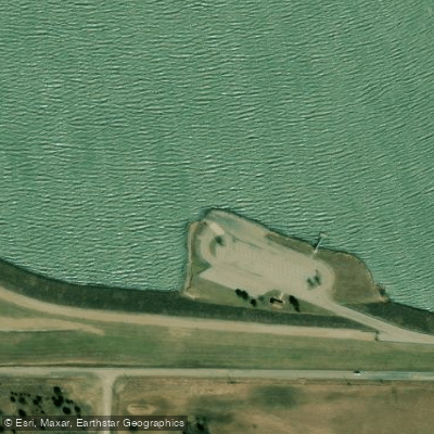
See exactly where the public can get on and off the water. Launch points and boat ramps are paired with PaddleWays' public land data so you know where you can legally land.
Public shoreline
0%of the lake's shoreline is public
- Public
- 0%
- Private
- 100%
Most of the shoreline is private. Launch, land and camp only at public access points.
Paddling conditions (10 day forecast)
Weather and wind, so you know what to expect on Big Hill Lake today.
No forecast data available.
Paddle smarter with real-time insights
Live flows, marked hazards and fresh trip reports from paddlers who were just on the water, all in one place.







Find Places to Paddle

Over 400,000 Places to Paddle
Every user gets free access to launch points, boat ramps, and public property parcels.



Paddling near Big Hill Lake
Neosho River
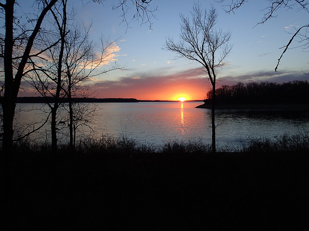
Stockton Lake
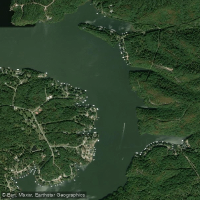
Osage River
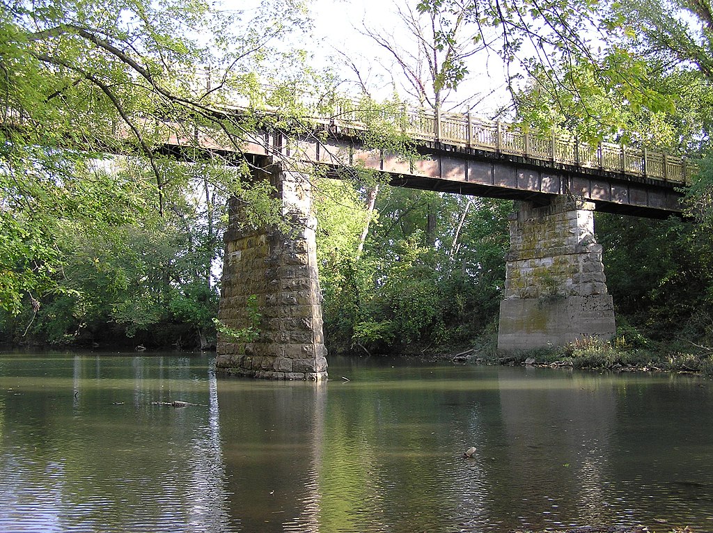
Sac River
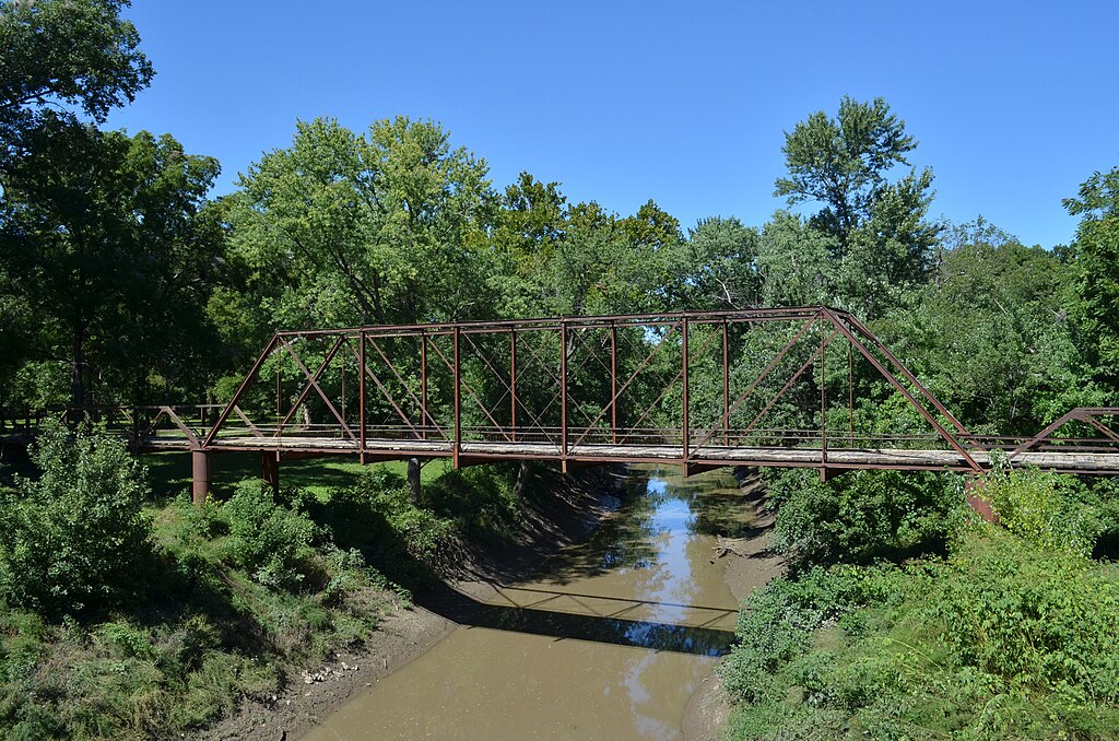
Marais des Cygnes River
Spring River
Lake Crawford
Bone Creek Reservoir
Grand Lake O' The Cherokees
Shoal Creek
Explore Kansas waters
Explore near Big Hill Lake
Access points
Nearby waters
More in Kansas
Smarter Paddling Starts in the App.
PaddleWays gives you everything you need to plan smarter, paddle better, and own every trip from first launch to takeout.