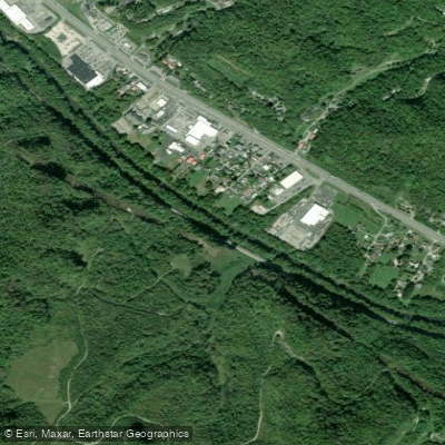
Curated by PaddleWays
RouteClass I
- Distance
- 16.2 mi
- Paddle time
- ~5.5 hrs
- Best for
- Kayak, canoe
- Put-in → take-out
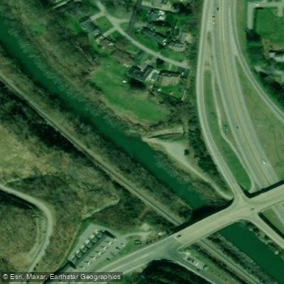
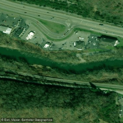
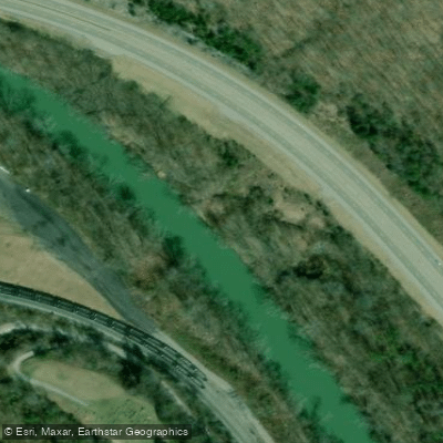
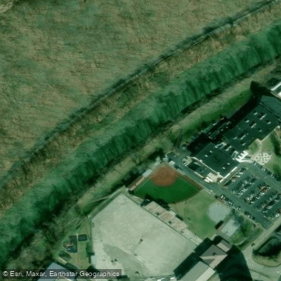
- Prestonsburg Boat Ramp → Paintsville River Boat Ramp
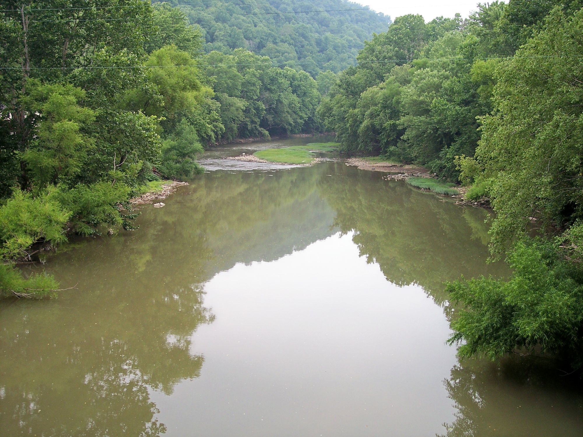
The Levisa Fork is a significant tributary of the Big Sandy River, flowing approximately 164 miles through southwestern Virginia and eastern Kentucky. Originating in the Appalachian Mountains of Virginia, it flows northwestward into Kentucky, where it joins the Tug Fork at Louisa to form the Big Sandy River. This scenic waterway offers diverse paddling opportunities, with several notable sections catering to various skill levels. The river is characterized by gentle riffles and flowing shoals, making it ideal for families and beginners. The difficulty ranges from flatwater to Class I, with occasional Class II rapids in some sections.
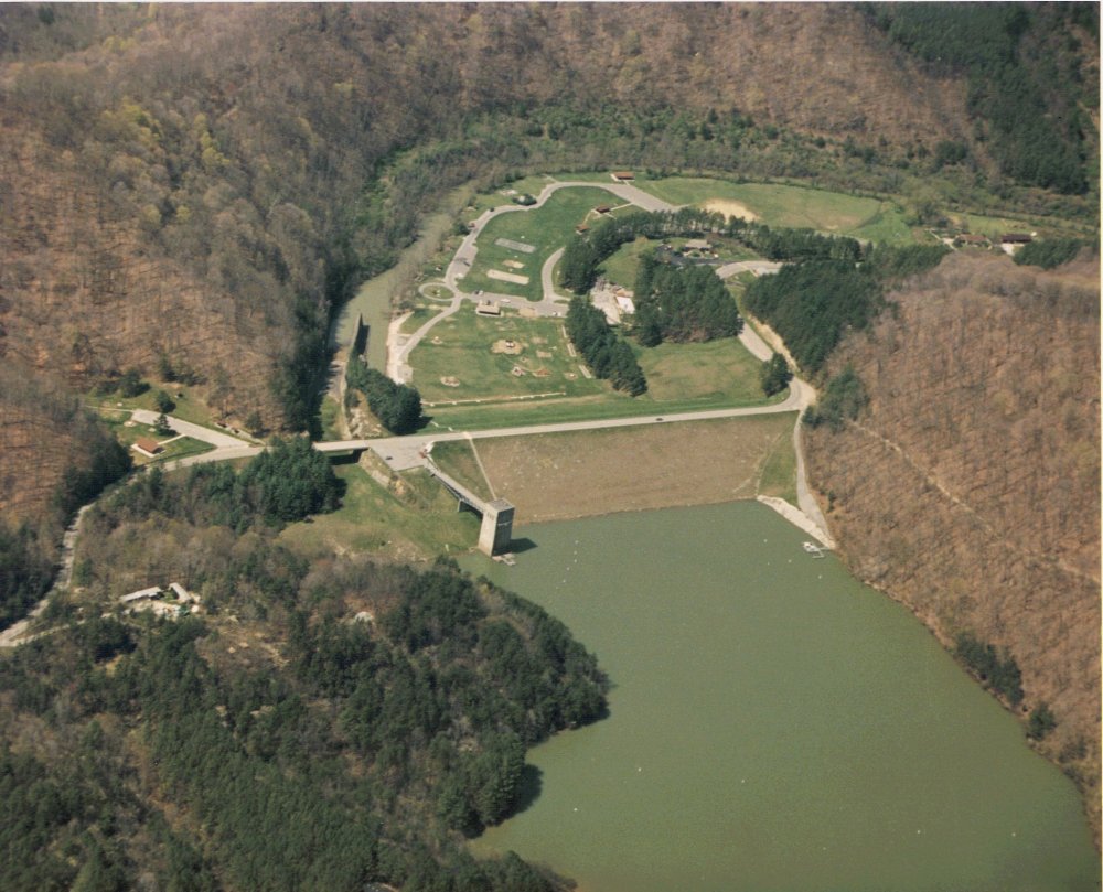
One of the most popular paddling routes is the Hatfield-McCoy River Trail near Pikeville, Kentucky. This 8.5-mile stretch from Fishtrap Dam to the Thompson Road River Access provides excellent infrastructure and easy access. Other noteworthy sections include the 8.6-mile route from Jubilee Christian Church Ramp to Paintsville, and the 8.4-mile Auxier to Paintsville segment.
The Levisa Fork is best paddled from spring through fall, with optimal water levels typically occurring from April to October. During these months, the city of Pikeville offers free shuttles on weekends for paddlers, enhancing accessibility.
The river corridor supports a rich ecosystem of Appalachian flora and fauna. Paddlers may encounter various fish species, waterfowl, and occasionally spot deer or black bears along the forested banks. Key landmarks include Fishtrap Lake, created by Fishtrap Dam, and the scenic Appalachian foothills that frame the river's course. The waterway passes through several notable Kentucky communities, including Pikeville, Prestonsburg, Paintsville, and Louisa, each offering unique cultural experiences and access points.
Historically, the Levisa Fork played a crucial role in the development of the region, supporting early settlements and later becoming integral to the area's coal mining industry. The river's name is derived from the Native American word Levisa, meaning clear water.
Safety considerations include checking water levels and weather forecasts before paddling, as the river can experience rapid changes during heavy rainfall. Paddlers should also be aware of potential strainers and low-head dams in certain areas.
For those seeking multi-day adventures, the 73.5-mile stretch from Prestonsburg to the Virginia border offers ample opportunities for extended trips, with several communities along the way providing convenient rest stops and resupply points. The Levisa Fork presents a perfect blend of scenic beauty, gentle waters, and rich cultural heritage, making it an excellent destination for paddlers of all levels looking to explore the heart of Appalachia.
Curated routes
Hand-picked by the PaddleWays team, with put-ins, take-outs, paddle times and the hazards along the way.
RouteClass I
RouteClass I–II
RouteFlatwater
RouteFlatwater
Hazards
No paddler has reported a hazard here yet, so these are the dams, falls and big rapids on our map. Hazards change with flows and storms, so check them before you launch.
From the community
Nobody has shared a trip on Levisa Fork yet. Paddle it, then tell the next paddler how it went.
See exactly where the public can get on and off the river. Launch points and boat ramps are paired with PaddleWays' public land data so you know where you can legally land.
Public shoreline
18%of the river's shoreline is public
Most of the riverbank is private. Launch, land and camp only at public access points.
Flows, weather and a route-by-route verdict, so you know which stretch of the Levisa Fork is worth paddling today.
All Flow Stations
Live flows, marked hazards and fresh trip reports from paddlers who were just on the water, all in one place.





Every user gets free access to launch points, boat ramps, and public property parcels.



Loading popular cities...
PaddleWays gives you everything you need to plan smarter, paddle better, and own every trip from first launch to takeout.