Curated by PaddleWays
RouteFlatwater
- Distance
- 24 mi
- Paddle time
- ~8 hrs
- Put-in → take-out
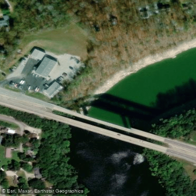
- Highway 39 Access → Lakeview Boat Ramp
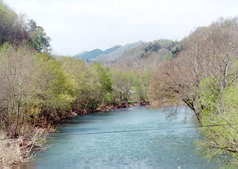
Pitman Creek flows through Pulaski County, Kentucky, serving as a tributary to the Cumberland River in the south-central portion of the state. This waterway drains into Lake Cumberland, part of the extensive reservoir system managed by the U.S. Army Corps of Engineers. The creek's watershed encompasses forested hillsides and areas transitioning from agricultural use, characteristic of the Cumberland Plateau region.
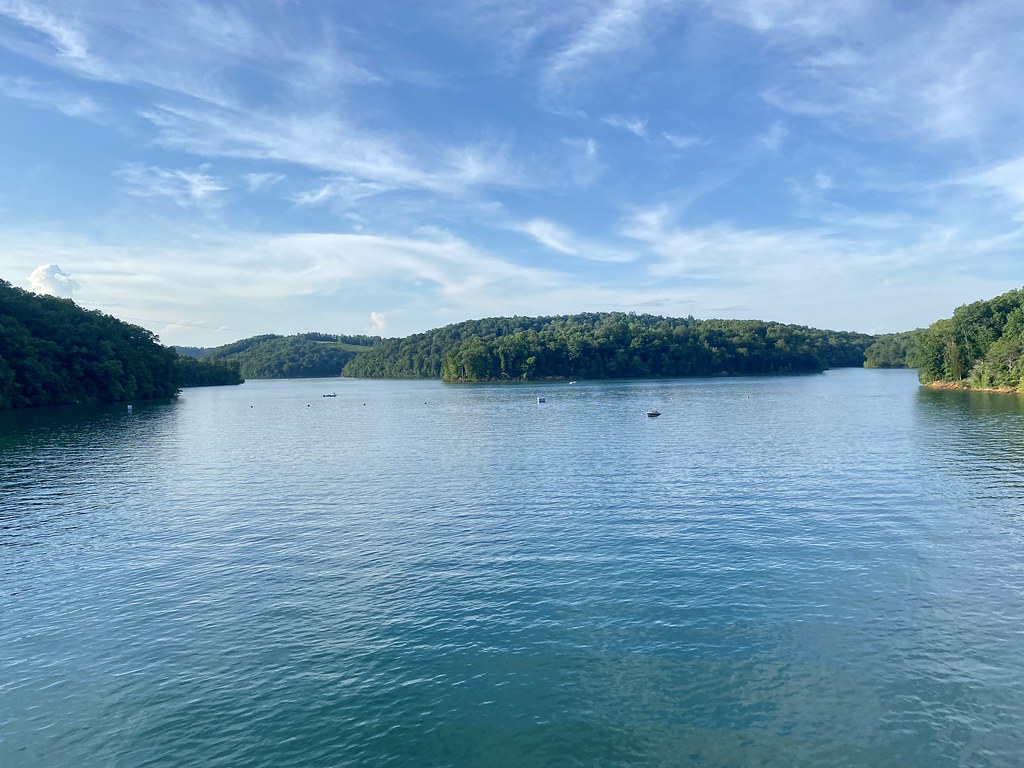
The creek offers paddling opportunities primarily in its lower reaches near Lake Cumberland. Access is available through the Fishing Creek Recreation Area, located approximately 10 miles west of Somerset off KY 80, where paddlers can explore Pitman Creek as it veers off from the main Fishing Creek corridor. The waterway provides a more intimate paddling experience compared to the larger lake, with conditions suitable for kayakers seeking quieter waters away from motorized boat traffic.
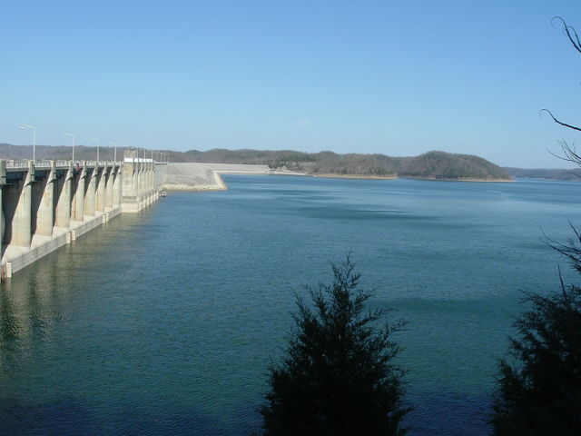
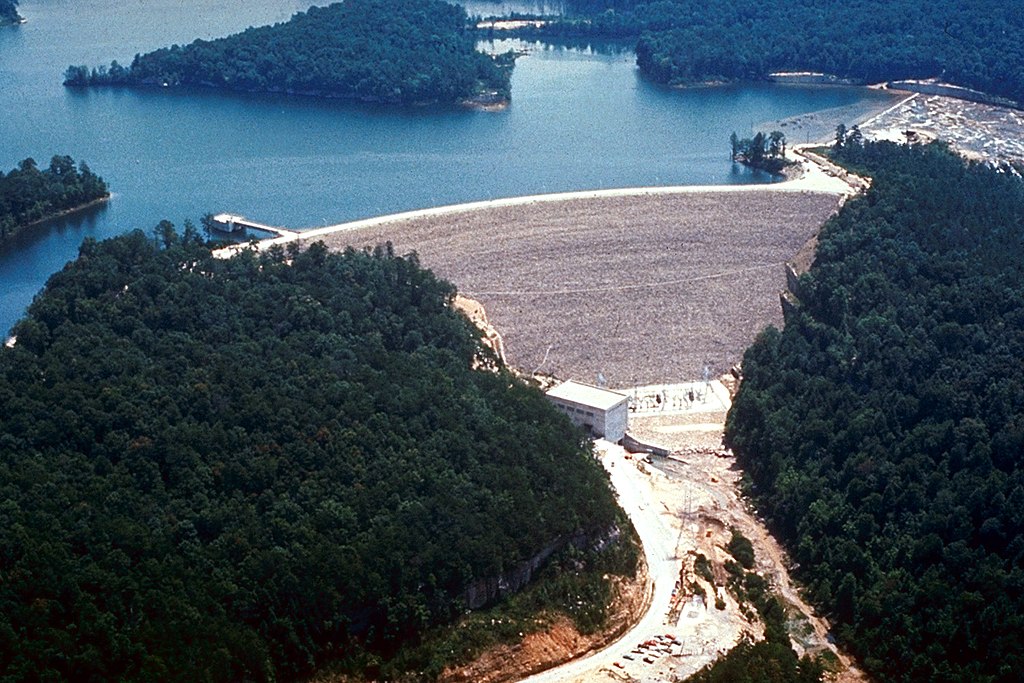
Water levels in Pitman Creek are influenced by Lake Cumberland's pool elevation, which fluctuates based on dam operations at Wolf Creek Dam. The U.S. Army Corps of Engineers maintains the lake at target levels, though seasonal variations occur. Spring typically offers higher flows, while late summer and fall may present lower water conditions. Paddlers should verify current lake levels before planning trips, as drawdowns can significantly affect access and navigability in tributary creeks.
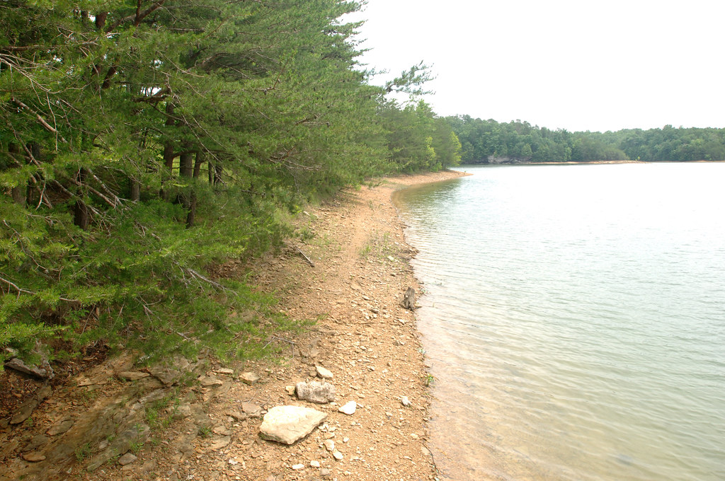
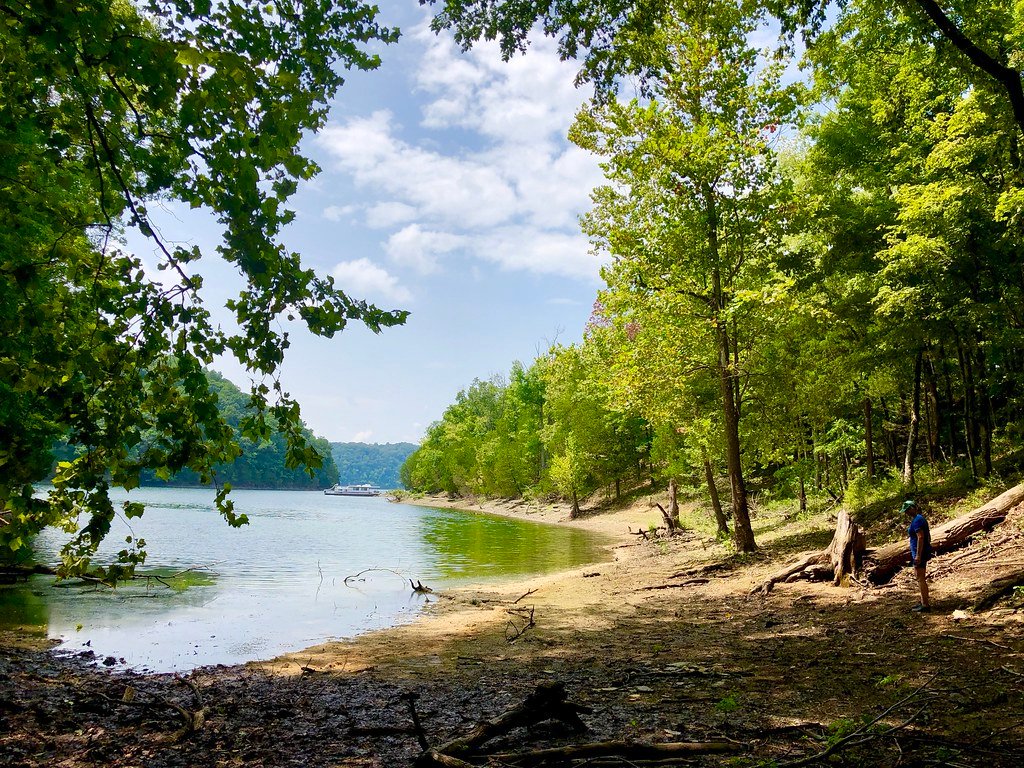
The surrounding landscape features typical Cumberland Plateau ecology, with mixed hardwood forests along the banks providing habitat for white-tailed deer, wild turkey, and various songbird species. The waters support warmwater fish populations including bass and sunfish, consistent with Lake Cumberland's fishery.
Somerset serves as the primary gateway community for accessing Pitman Creek, offering full services and amenities. The creek lies within the broader Lake Cumberland Wildlife Management Area, which encompasses 38,769 acres of public land surrounding the reservoir's shoreline. This designation provides opportunities for wildlife observation and outdoor recreation beyond paddling.
Paddlers should be aware that Lake Cumberland's operations can create changing water conditions. The reservoir's large size means weather patterns can generate wind and waves that affect tributary mouths. Standard safety equipment including personal flotation devices is required, and Kentucky boating regulations apply. The area experiences typical southeastern Kentucky weather patterns, with hot, humid summers and mild winters, though spring and fall generally provide the most comfortable paddling conditions.
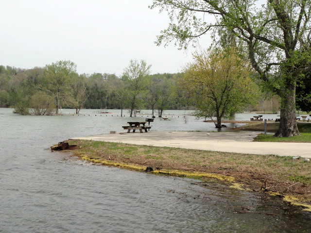
The Fishing Creek Recreation Area provides developed facilities including boat ramps, restrooms, and parking, making it a practical starting point for exploring Pitman Creek's accessible sections.
Curated routes
Hand-picked by the PaddleWays team, with put-ins, take-outs, paddle times and the hazards along the way.
RouteFlatwater
Hazards
No hazards are marked on Pitman Creek yet. That is not the same as none being there: if you find one, report it for the next paddler.
From the community
Nobody has shared a trip on Pitman Creek yet. Paddle it, then tell the next paddler how it went.
See exactly where the public can get on and off the river. Launch points and boat ramps are paired with PaddleWays' public land data so you know where you can legally land.
Public shoreline
22%of the river's shoreline is public
Most of the riverbank is private. Launch, land and camp only at public access points.
Flows, weather and a route-by-route verdict, so you know which stretch of the Pitman Creek is worth paddling today.
No forecast data available.
Live flows, marked hazards and fresh trip reports from paddlers who were just on the water, all in one place.





Every user gets free access to launch points, boat ramps, and public property parcels.
Loading popular cities...
PaddleWays gives you everything you need to plan smarter, paddle better, and own every trip from first launch to takeout.