Curated by PaddleWays
RouteClass II–III
- Distance
- 6.1 mi
- Paddle time
- 3–4 hrs
- Best for
- Intermediate paddlers
- Put-in → take-out
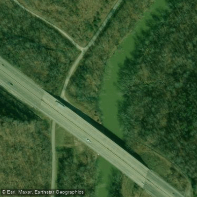
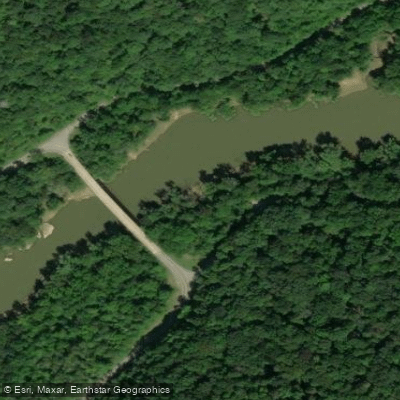
- Wilderness Road Canoe Ramp → I-75 Bridge Boat Ramp
Pushy water at higher flows
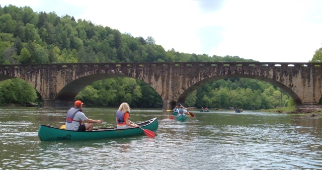
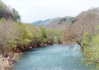
The Rockcastle River, a scenic waterway in southeastern Kentucky, is renowned for its diverse paddling opportunities and natural beauty. Flowing through the Daniel Boone National Forest, this river forms the border between Rockcastle and Laurel counties, offering paddlers a mix of tranquil flatwater and exhilarating whitewater experiences.
The river can be divided into several distinct sections, each catering to different skill levels. The upper sections, such as the stretch from Livingston to the I-75 Bridge, provide a gentle introduction with Class I-II rapids, making it ideal for beginners and families. As you progress downstream, the river becomes more challenging, culminating in the thrilling Rockcastle Narrows section, which features Class III-IV rapids and is suitable only for experienced paddlers.
One of the most popular runs is the 10.6-mile stretch from the I-75 Bridge to Billows, characterized by mostly flat water with occasional easy shoals. This section is perfect for intermediate paddlers and anglers looking to catch smallmouth bass. For those seeking more adventure, the 16.9-mile Kentucky 80 to Bee Rock section offers a wild ride through Class II-IV rapids, showcasing why the Rockcastle is considered one of Kentucky's premier whitewater streams.
The river's flow varies seasonally, with spring typically offering the most reliable water levels for paddling. However, summer can provide enjoyable trips, especially in the upper sections. Fall brings spectacular foliage, making it a favorite time for scenic floats.
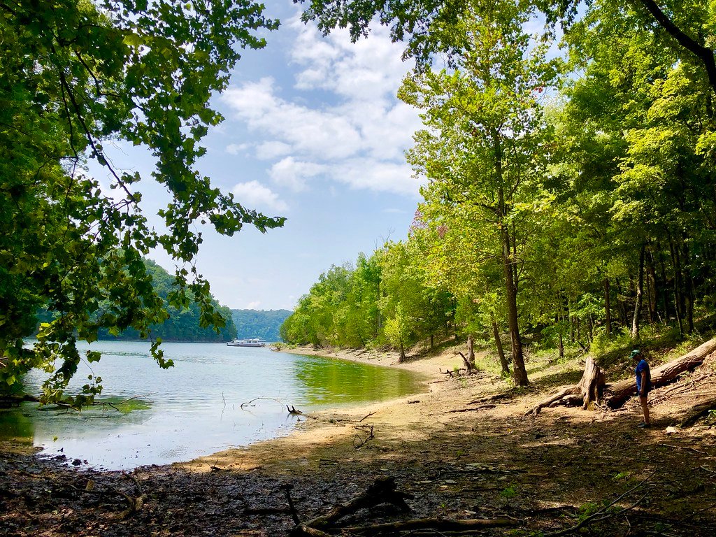
As you paddle the Rockcastle, you'll be surrounded by the lush forests of the Daniel Boone National Forest, home to diverse wildlife including great blue herons, bald eagles, and various fish species. The river's clear waters in drier periods offer excellent visibility for observing aquatic life.
Notable landmarks along the river include the historic Rockcastle River Trading Co., a reminder of the area's rich cultural heritage, and the scenic Bee Rock Campground, a popular spot for multi-day trips. The river also passes through or near small towns like Livingston, offering convenient access points and local amenities.
Safety is paramount on the Rockcastle, especially in its more challenging sections. All paddlers should wear life jackets and be prepared for sudden changes in water levels. The Lower Narrows section, in particular, requires expert skills and should only be attempted with proper equipment and experience.
For those looking to extend their adventure, multi-day trips are possible, with camping available at locations like Bee Rock and Rockcastle Campgrounds. These longer journeys allow paddlers to fully immerse themselves in the river's changing character and the surrounding wilderness.
Whether you're a novice looking for a peaceful float or an expert seeking whitewater thrills, the Rockcastle River offers a paddling experience for everyone, set against the backdrop of Kentucky's stunning natural beauty.
Curated routes
Hand-picked by the PaddleWays team, with put-ins, take-outs, paddle times and the hazards along the way.
RouteClass II–III
RouteClass I
RouteClass II–IV
RouteClass II–III
Hazards
No hazards are marked on Rockcastle River yet. That is not the same as none being there: if you find one, report it for the next paddler.
From the community
Nobody has shared a trip on Rockcastle River yet. Paddle it, then tell the next paddler how it went.
See exactly where the public can get on and off the river. Launch points and boat ramps are paired with PaddleWays' public land data so you know where you can legally land.
Public shoreline
100%of the river's shoreline is public
Flows, weather and a route-by-route verdict, so you know which stretch of the Rockcastle River is worth paddling today.
Live flows, marked hazards and fresh trip reports from paddlers who were just on the water, all in one place.





Every user gets free access to launch points, boat ramps, and public property parcels.
Loading popular cities...
PaddleWays gives you everything you need to plan smarter, paddle better, and own every trip from first launch to takeout.