Curated by PaddleWays
RouteClass V
- Distance
- 5.3 mi
- Paddle time
- ~1.5 hrs
- Best for
- Experienced paddlers
- Put-in → take-out
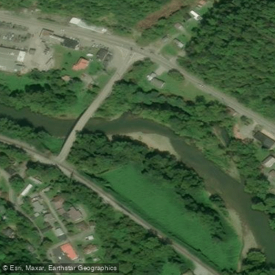
- Garden Hole Boat Ramp → Carson Island Boat Ramp
Class V rapids at release levels
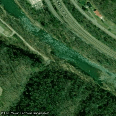
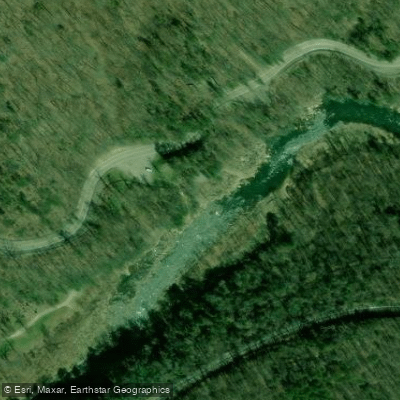
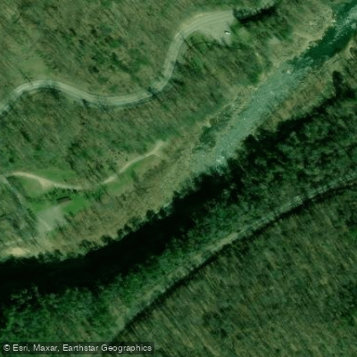
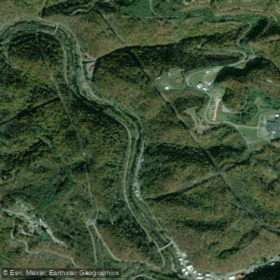
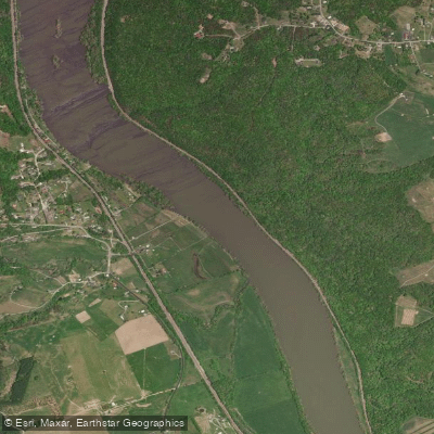
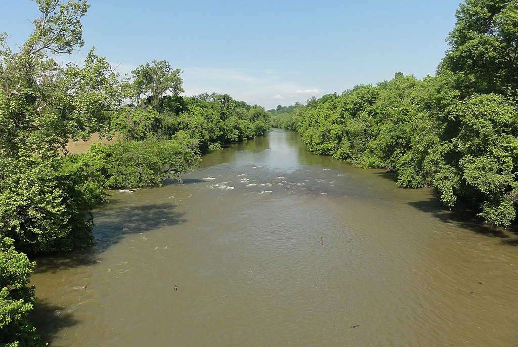
The Russell Fork is a scenic and challenging river that flows northwestward from its headwaters in Virginia through the rugged terrain of southeastern Kentucky. This 51-mile long river is a major tributary of the Big Sandy River, joining the Levisa Fork near Elkhorn City, Kentucky to form the Big Sandy. The Russell Fork carves through Pine Mountain, creating the dramatic Breaks Canyon, often called the Grand Canyon of the South.
The river offers a range of paddling opportunities across three main sections. The Upper Russell Fork, from Bartlick Bridge to Garden Hole, provides a 13-mile stretch of Class II-IV rapids, perfect for intermediate paddlers seeking a mix of scenic views and exciting whitewater. The infamous Russell Fork Gorge section, a 4-mile stretch through Breaks Canyon, features intense Class IV-V+ rapids and is suitable only for expert paddlers. The Lower Russell Fork, from Ratliff Hole to Elkhorn City, offers a more moderate 2.5 to 6-mile run with Class II-III rapids, ideal for developing paddlers.
Water levels significantly impact the river's character, with the Gorge section runnable at flows from 100 to 1400 cfs. October is the prime paddling season, with scheduled dam releases providing optimal conditions, typically between 800-1100 cfs. However, the river is often navigable year-round at various levels.
The Russell Fork's ecosystem supports diverse flora and fauna, including rainbow trout and smallmouth bass, making it a popular fishing destination. The river flows through the heart of Breaks Interstate Park, offering paddlers stunning views of towering sandstone cliffs, dense forests, and abundant wildlife.
Key access points include Bartlick Bridge (VA 611) for the upper section, Garden Hole in Breaks Interstate Park for the middle Gorge section, and Ratliff Hole for the lower section. Nearby towns like Haysi, Virginia and Elkhorn City, Kentucky serve as bases for river adventures.
The river holds historical significance, with its powerful waters once used for transporting timber during the region's logging boom. Today, it's renowned in the paddling community for hosting the annual Russell Fork Rendezvous, drawing whitewater enthusiasts from across the country.
Safety is paramount on the Russell Fork, especially in the Gorge section, where the steep gradient (averaging 140 feet per mile) creates continuous, technical rapids. Paddlers must be well-prepared and aware of their skill limits. While multi-day trips are possible by combining sections, most runs are typically completed as day trips due to the river's intensity.
The Russell Fork offers a thrilling paddling experience, from scenic float trips to world-class whitewater, set against the backdrop of Appalachia's stunning natural beauty. Its diverse sections cater to a wide range of skill levels, making it a premier destination for whitewater enthusiasts in the eastern United States.
Curated routes
Hand-picked by the PaddleWays team, with put-ins, take-outs, paddle times and the hazards along the way.
RouteClass V
Hazards
No paddler has reported a hazard here yet, so these are the dams, falls and big rapids on our map. Hazards change with flows and storms, so check them before you launch.
Rapid · Class IV
Class IV Work your way down river left and be prepared to boof some relatively big holes.
Rapid · Class IV
Class IV+ There's a short pool at the end of Foreplay that signals the beginning of Climax. The best line here is the center-right chute, not with the main flow.
Rapid · Class V
Class V Easy to scout from river right, and worth a scout. The lines are either far right or far left because the hole that most of the river dumps into is very sticky.
Rapid · Class V
Class V This rapid is sketchy and not terribly technically difficult but the consequences are horrendous.
From the community
Nobody has shared a trip on Russell Fork yet. Paddle it, then tell the next paddler how it went.
See exactly where the public can get on and off the river. Launch points and boat ramps are paired with PaddleWays' public land data so you know where you can legally land.
Public shoreline
14%of the river's shoreline is public
Most of the riverbank is private. Launch, land and camp only at public access points.
Flows, weather and a route-by-route verdict, so you know which stretch of the Russell Fork is worth paddling today.
All Flow Stations
Live flows, marked hazards and fresh trip reports from paddlers who were just on the water, all in one place.





Every user gets free access to launch points, boat ramps, and public property parcels.
Loading popular cities...
PaddleWays gives you everything you need to plan smarter, paddle better, and own every trip from first launch to takeout.