Sinepuxent Bay
- Saltwater
- Bay
Sinepuxent Bay
- Saltwater
- Bay
- Sq. miles
- 6.1
- Boat Ramps
- 2
- Access Points
- 2
- Campsites
- 1
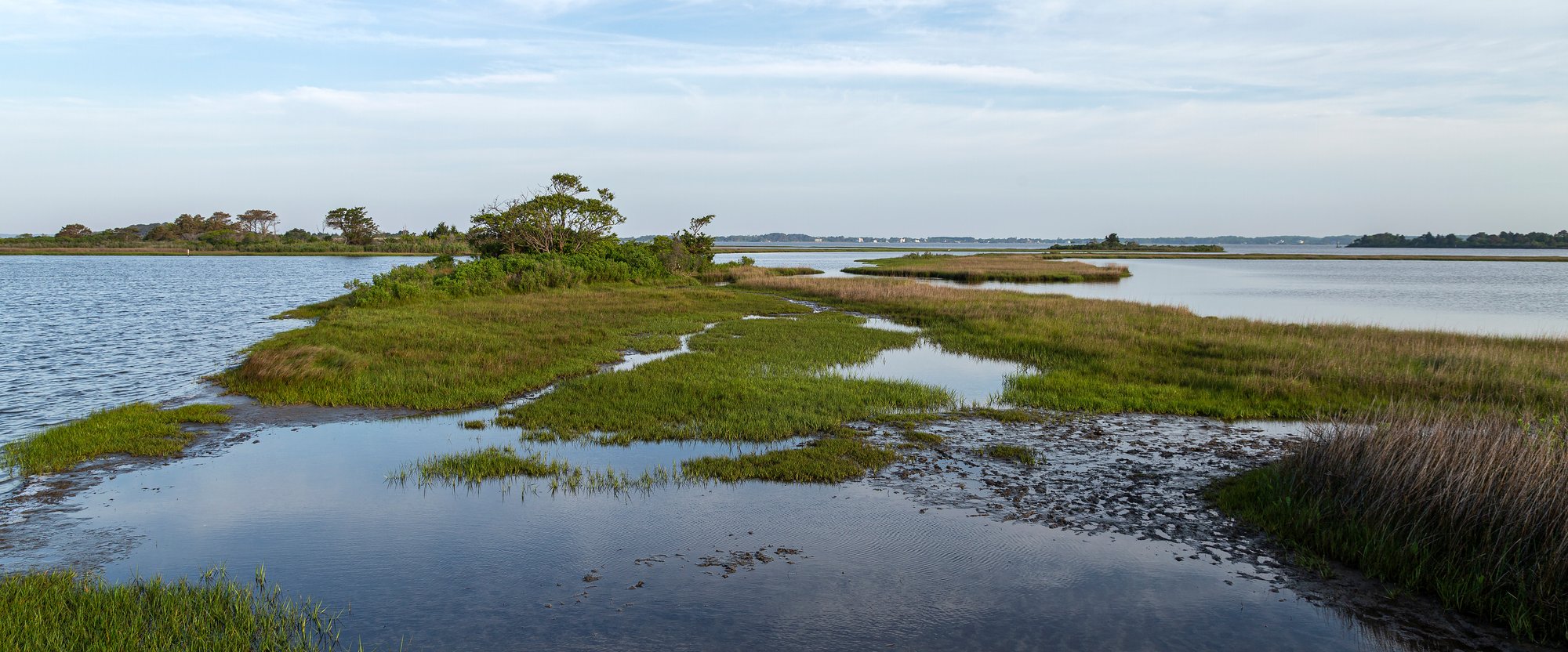
Sinepuxent Bay is a sheltered saltwater bay located between the Maryland mainland and Assateague Island, offering a protected paddling environment ideal for beginners. The bay stretches roughly 10 miles north to south, with shallow waters averaging 3 to 6 feet deep. The primary paddling character is calm and sheltered, as the barrier island blocks wind and swell from the open ocean, though conditions can become choppy with white caps when winds are strong. Tidal influences are moderate and predictable, with a typical range of 1 to 2 feet, creating tidal currents that paddlers should account for in their route planning.
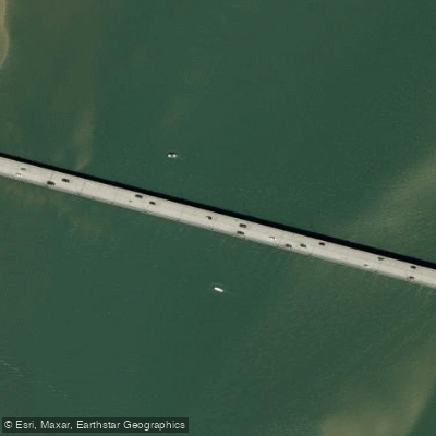
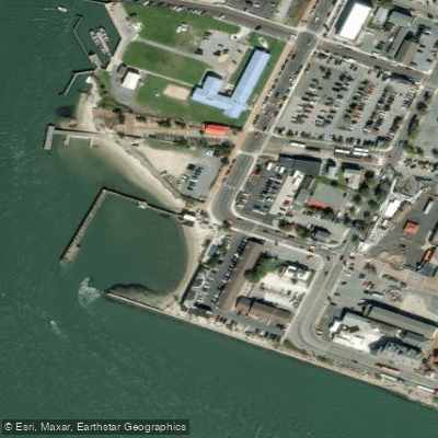
Several public access points provide launches. The Assateague State Park boat ramp, located off Route 611 near the Verrazano Bridge, offers paved parking, restrooms, and a fee-based launch system with an honor box for those without a seasonal pass. This launch provides direct access to the open bay. On Assateague Island National Seashore property, the Old Ferry Landing Road launch, accessible after paying a park entrance fee, puts paddlers into intricate salt marsh channels. A free launch area also exists on the mainland side of the Verrazano Bridge, with roadside shoulder parking and beach-like access to the water before the park toll booths. Another public boat ramp in West Ocean City provides 24-hour, free access with extensive parking.
The bay is part of the Sinepuxent Bay Wildlife Management Area, created from dredge spoil islands. A notable destination is Bird Island, formally called South Point Spoils, approximately 2 miles from some launches, which hosts significant bird colonies including brown pelicans. Paddlers must stay at least 40 feet offshore as the island is closed to protect nesting birds. Wildlife sightings are common, including wild horses along the Assateague shoreline, ospreys, egrets, roseate spoonbills, and marine life like blue crabs and lion's mane jellyfish. The Sinepuxent Bay Water Trail brochure outlines suggested routes from different launch points. The best seasons for paddling are spring through fall, with mornings often calmer than afternoons when northwest winds can pick up. The area is popular, so boat ramps can be busy during summer.
Water access, boat ramps & amenities
Learn how to get on Sinepuxent Bay. Uncover great paddling access points, boat ramps, and all the facilities you need for an unforgettable day on the water. Some locations shown may border or include private property. Always check property boundaries and applicable regulations before visiting. PaddleWays's Public & Private Land layer can help you plan your access with confidence.
Paddle smarter with real-time insights
Whether you're en route and conditions shift or you're looking for the best spot based on current flows, we enable you to make informed decisions on the fly.








Find Places to Paddle

Over 400,000 Places to Paddle
Every user gets free access to launch points, boat ramps, and public property parcels.


Tides, wind & water conditions (10 day forecast)
On open water, wind and tide matter as much as the weather. See the best times to paddle Sinepuxent Bay and check the marine forecast before you launch.
Loading tide predictions…
Paddling near Sinepuxent Bay

Delaware River
Chincoteague Bay
Pocomoke River
Indian River
Assawoman Bay
Manokin River
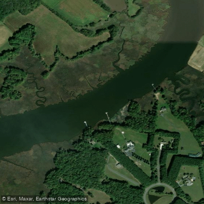
Wicomico River
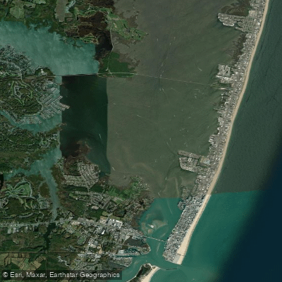
Isle of Wight Bay
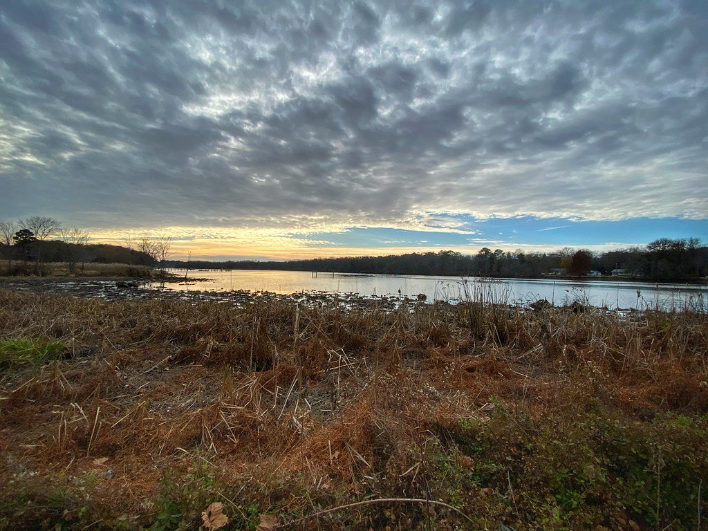
Nanticoke River
Explore Maryland waters
Top paddling waters
Popular Cities
Loading popular cities...
Explore near Sinepuxent Bay
Access points
Nearby waters
More in Maryland

Smarter Paddling Starts in the App.
Paddleways gives you everything you need to plan smarter, paddle better, and own every trip from first launch to takeout.