Bear Creek
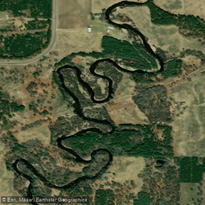
Bear Creek
- Boat Ramps
- 0
- Access Points
- 0
- Campsites
- 7
Bear Creek is a small tributary of the Big Manistee River in northern Michigan. It flows generally westward through Manistee County before joining the Manistee River near the town of Manistee. While Bear Creek itself offers limited paddling opportunities, it serves as an important access point and landmark for trips on the larger Manistee River system.
The Big Manistee River in this area provides excellent flatwater paddling suitable for beginners and families. Popular sections include the stretch from High Bridge to Bear Creek Landing, covering approximately 24 miles. This run typically takes about 3 hours and features numerous rope swings and inviting sandbars perfect for breaks. The gentle current and lack of rapids make it ideal for casual paddlers in kayaks or canoes.
Shorter trips are also possible, such as the 2.8-mile section from High Bridge to Rainbow Bend, which takes around 1.5 hours. For longer adventures, paddlers can continue downstream to Insta Launch, creating an 8.5-hour journey covering 24 miles from High Bridge.
The river is best paddled from late spring through early fall when water levels are suitable and temperatures comfortable. Summer weekends can be busy with recreational paddlers and tubers enjoying the river.
Wildlife viewing opportunities abound along the forested banks. The area is known for excellent fishing, particularly for salmon and steelhead during their annual runs, as well as brown trout, smallmouth bass, and walleye.
Key access points include High Bridge, Bear Creek Landing, Rainbow Bend, and Tippy Dam. The nearby town of Manistee provides amenities and outfitters.
Paddlers should be aware of the hydroelectric dams on the river system, including Tippy Dam and Hodenpyl Dam, which require portages for through-trips.
For multi-day adventures, camping is available at designated sites along the river, such as Government Island located about 2 miles past Red Bridge. Paddlers undertaking longer trips should be prepared for slower-moving water and plan accordingly.
The Big Manistee River and its tributaries like Bear Creek played an important role in Michigan's logging history and continue to be vital for recreation and wildlife habitat today. Paddlers should practice Leave No Trace principles and be aware of any specific regulations or safety considerations from local authorities or the Huron-Manistee National Forests, which manage much of the surrounding land.
Water access, boat ramps & amenities
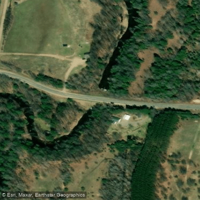
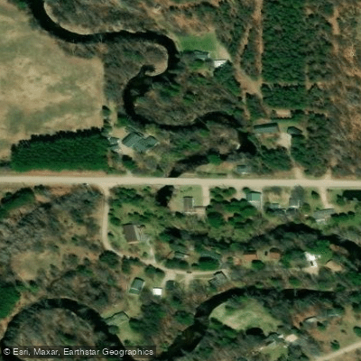
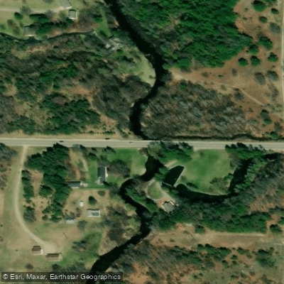
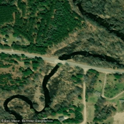
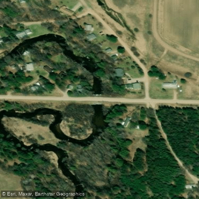
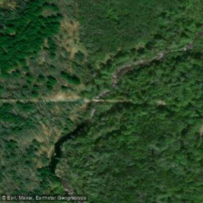
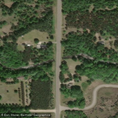
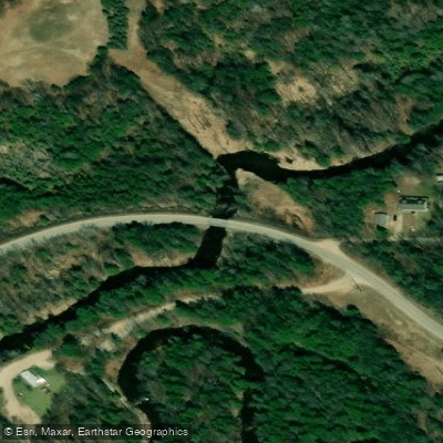
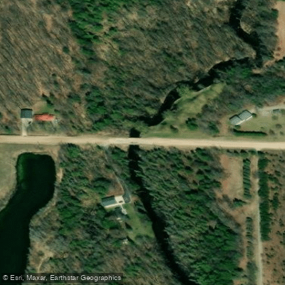
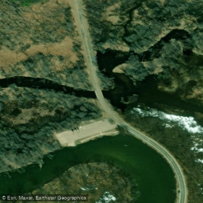
Learn how to get on Bear Creek. Uncover great paddling access points, boat ramps, and all the facilities you need for an unforgettable day on the water. Some locations shown may border or include private property. Always check property boundaries and applicable regulations before visiting. PaddleWays's Public & Private Land layer can help you plan your access with confidence.
Paddle smarter with real-time insights
Whether you're en route and conditions shift or you're looking for the best spot based on current flows, we enable you to make informed decisions on the fly.








Find Places to Paddle

Over 400,000 Places to Paddle
Every user gets free access to launch points, boat ramps, and public property parcels.


Water and weather conditions (10 day forecast)
See the best times to paddle Bear Creek and check the forecast before you go.
No forecast data available.
Paddling near Bear Creek

Lake Michigan
Betsie River
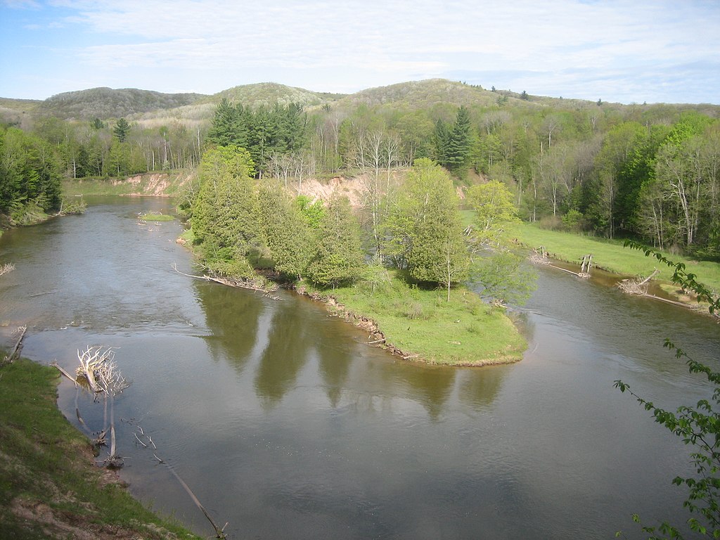
Manistee River
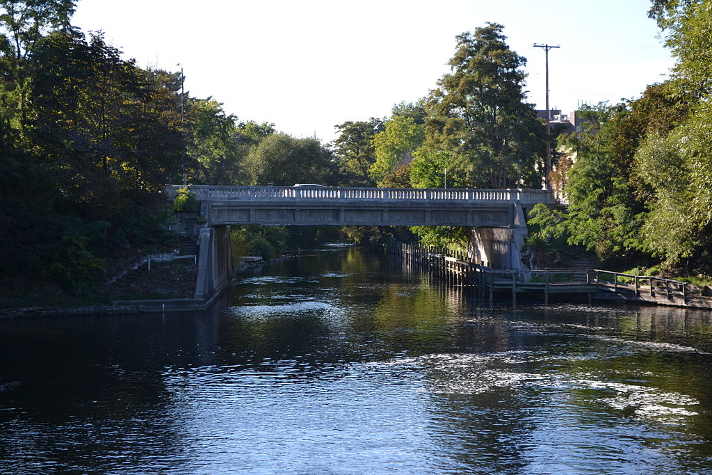
Boardman River
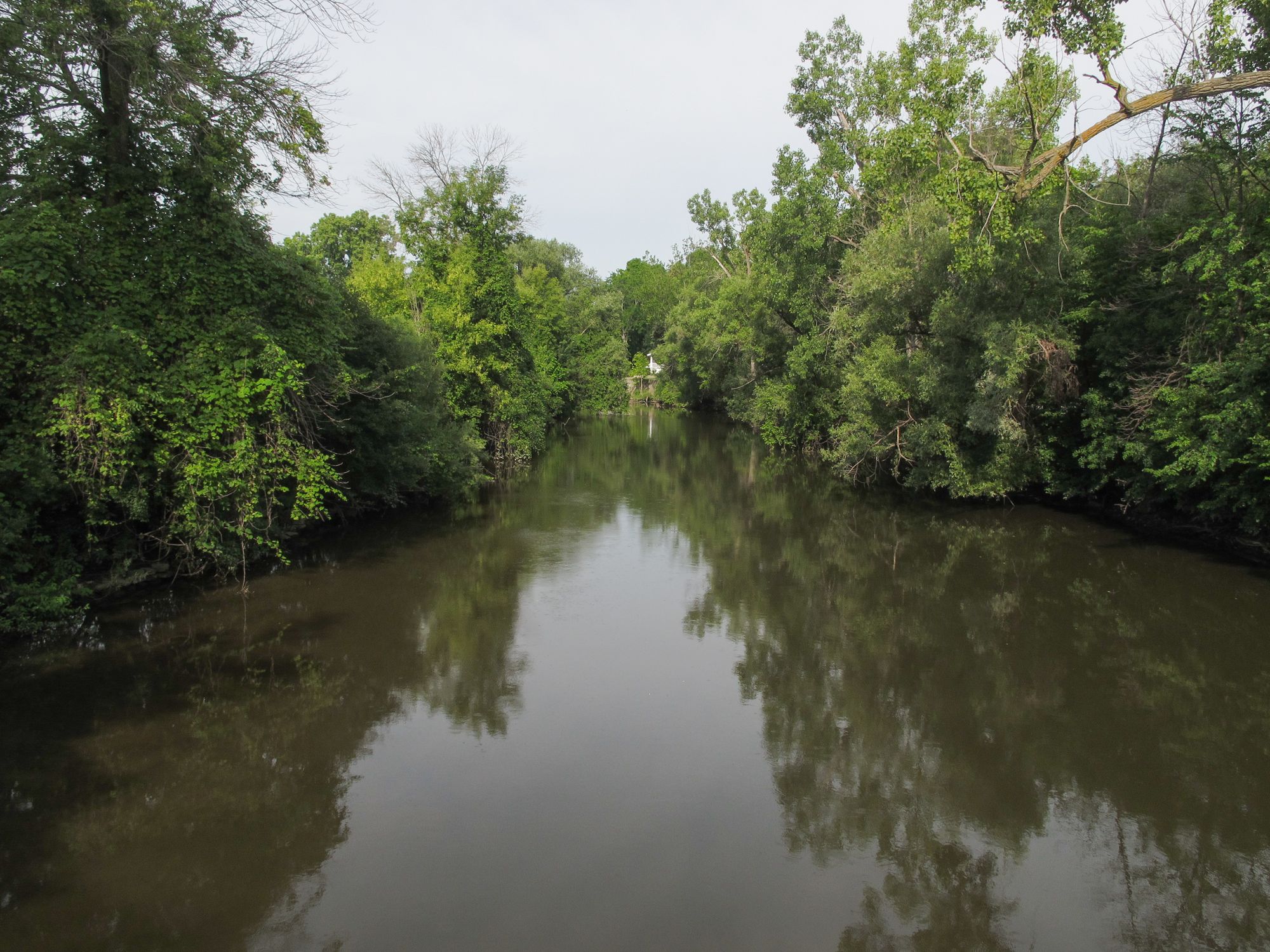
Pine River
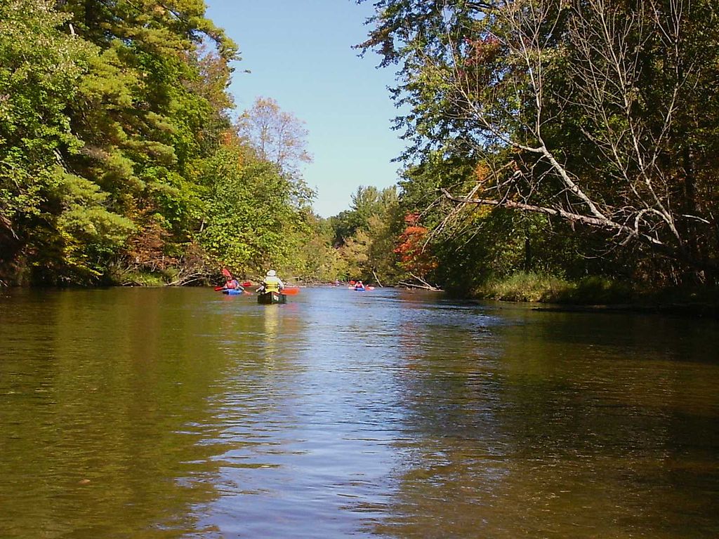
Pere Marquette River
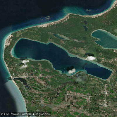
Crystal Lake
Platte River
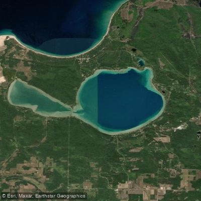
Glen Lake
Explore Michigan waters
Top paddling waters
Popular Cities
Loading popular cities...
Explore near Bear Creek
Access points
Nearby waters
More in Michigan

Smarter Paddling Starts in the App.
Paddleways gives you everything you need to plan smarter, paddle better, and own every trip from first launch to takeout.