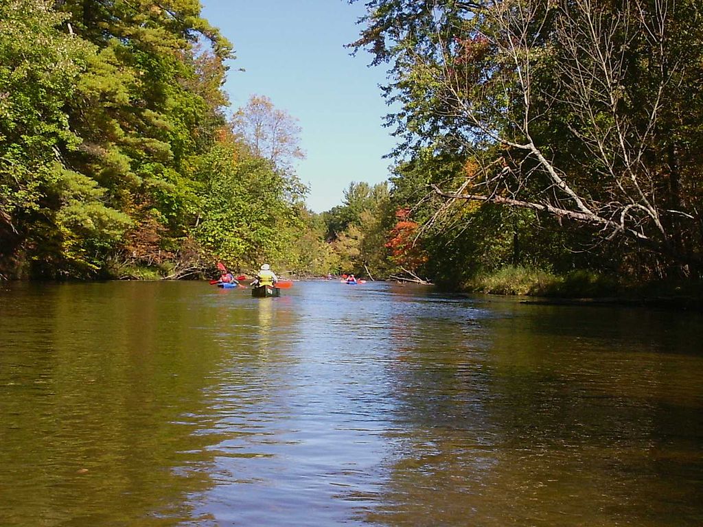
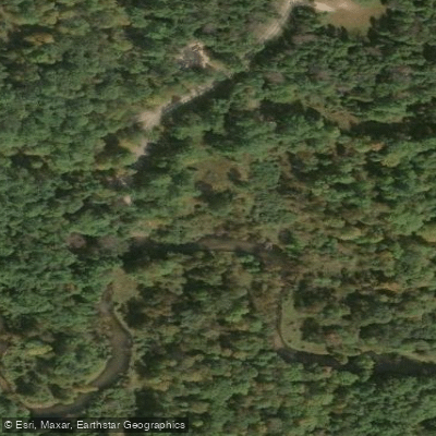
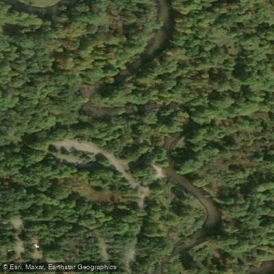
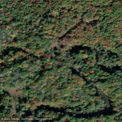
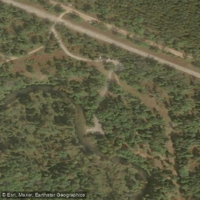
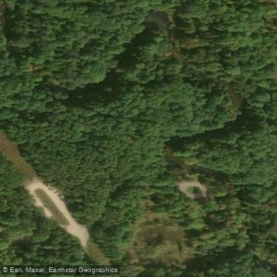
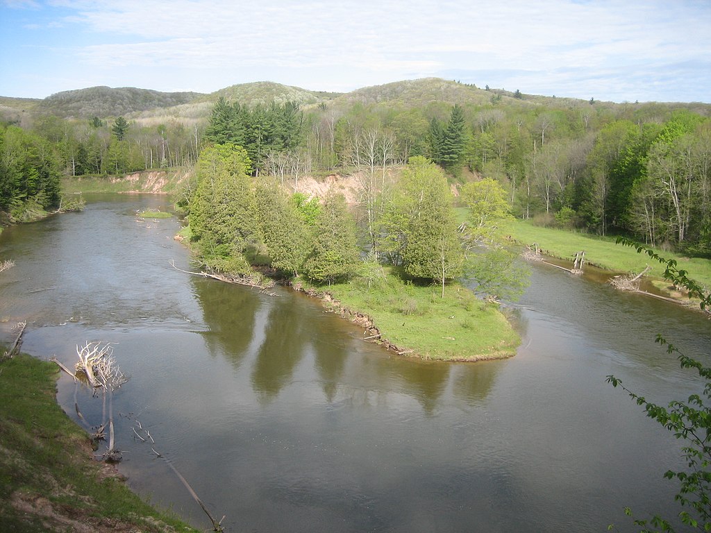
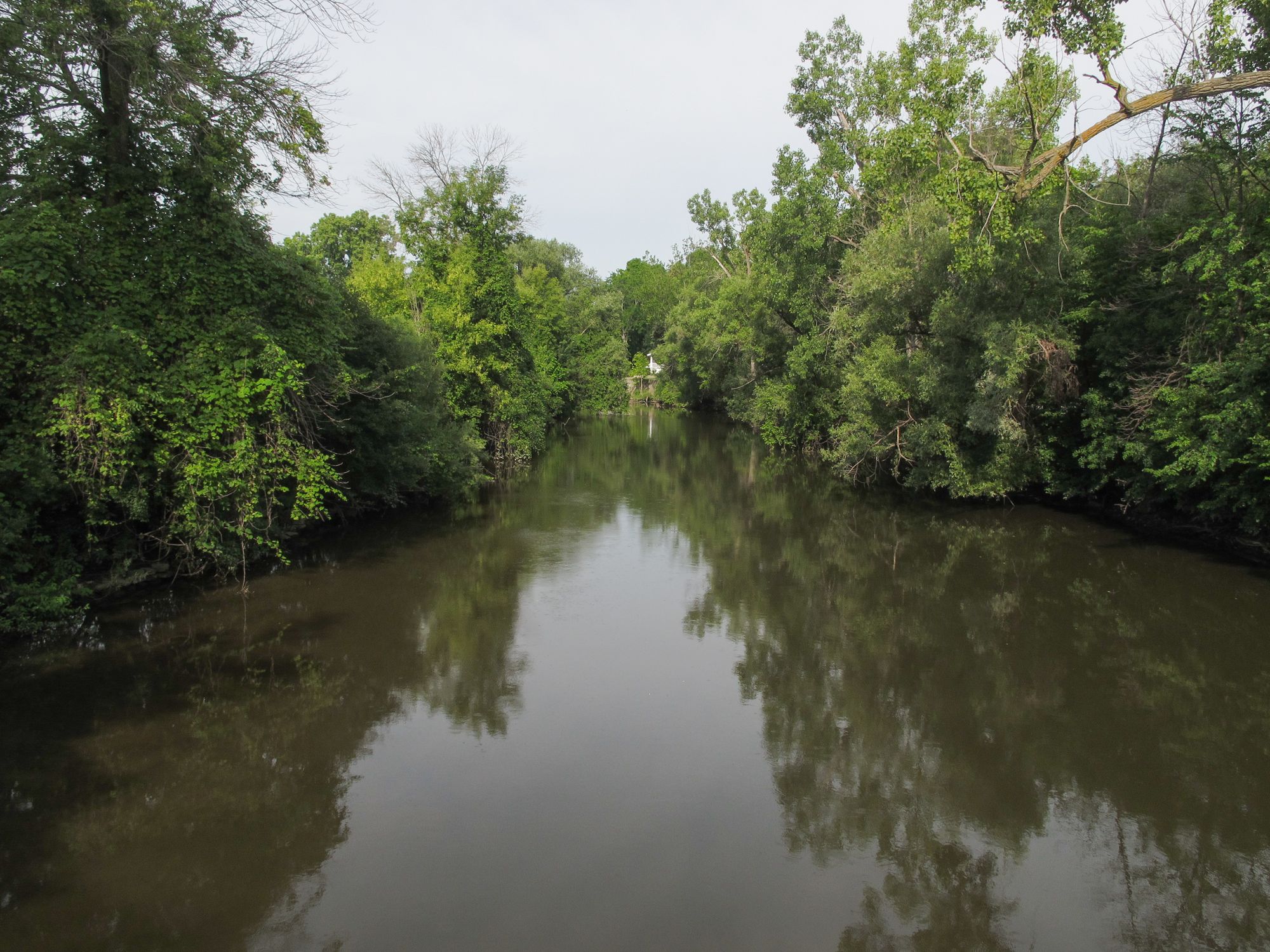
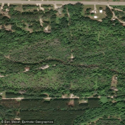
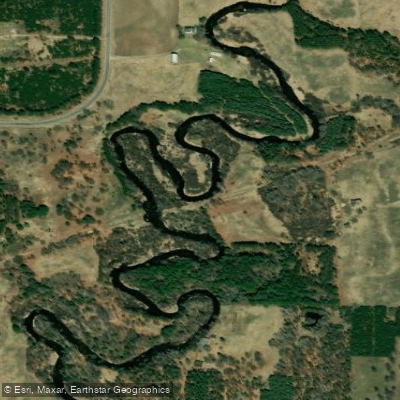
The Pere Marquette River is a pristine National Scenic River flowing through the heart of Michigan's Huron-Manistee National Forest. Renowned for its crystal-clear waters and scenic beauty, this free-flowing river offers paddlers an exceptional experience in a relatively undeveloped natural setting.
The most popular paddling section runs approximately 20 miles from the M-37 Bridge to Walhalla Bridge, featuring moderately fast currents and Class I-II rapids. This stretch is suitable for canoeists and kayakers of various skill levels, from beginners to intermediates. For those seeking a shorter adventure, the 5-7 mile section from M-37 Bridge to Bowman Bridge provides an excellent half-day option.
Water depths typically range from two to four feet, making it ideal for paddling throughout the summer months. However, the river's popularity necessitates a permit system from Memorial Day to Labor Day, with daily watercraft limits in place. During this peak season, paddling is restricted to 9am-6pm, and permits can be obtained from the U.S. Forest Service.
The Pere Marquette's ecosystem supports a diverse array of wildlife. Paddlers may spot bald eagles soaring overhead, deer drinking at the river's edge, or even the occasional black bear. The river is also famous for its excellent fishing, particularly for salmon and trout.
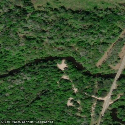
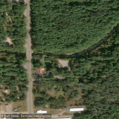
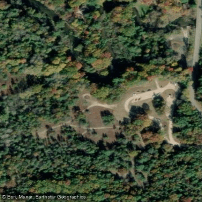
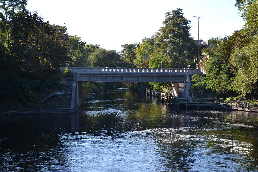
Key access points include the M-37 Bridge launch site, Bowman Bridge, and Walhalla Bridge, all of which offer amenities such as toilets and parking. The nearby town of Baldwin serves as a hub for outfitters and supplies. For those planning multi-day trips, rustic camping is available at designated sites along the river, including near Bowman Bridge. These longer journeys allow paddlers to fully immerse themselves in the tranquil beauty of the surrounding forest.
Safety considerations include being aware of submerged logs and overhanging branches, particularly in faster sections. Always wear a life jacket and be prepared for changing weather conditions. The Pere Marquette River's pristine condition and scenic value have earned it protection under the National Wild and Scenic Rivers System, highlighting its importance both ecologically and recreationally. Whether you're seeking a peaceful day trip or a multi-day adventure, the Pere Marquette offers a quintessential Michigan paddling experience that showcases the natural beauty of the Great Lakes State.