Belle River
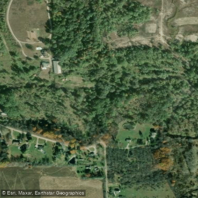
Belle River
- Boat Ramps
- 0
- Access Points
- 0
- Campsites
- 3
The Belle River originates in Dryden Township, Lapeer County, and flows 73.5 miles through southeastern Michigan before emptying into the St. Clair River at Marine City. This river system drains portions of four counties—Lapeer, Macomb, Oakland, and St. Clair—as it winds eastward through rural farmland and wooded areas before reaching its confluence with the St. Clair River at an elevation of 574 feet.
The primary paddling route spans 14.5 miles from China Township Park at King Road downstream through China Township, East China Township, and Marine City to the St. Clair River. This is a flatwater journey suitable for beginners, characterized by slow-moving current and gentle meanders through varied landscapes including agricultural fields, woodlands, and residential areas. The river parallels the St. Clair River for several miles in its lower reaches before turning to meet it in downtown Marine City.
Paddlers should be aware of significant differences in river conditions along this route. The northern section near King Road contains considerable woody debris and felled trees that can make passage challenging and may require portaging. These obstructions have been noted as particularly dense near the upstream access points. However, the southern portions approaching Marine City remain substantially clearer and more navigable, offering easier passage for paddlers of all skill levels.
Access points include China Township Park at King Road (the primary put-in), East China Township Park (suitable for a mid-journey stop or picnic), and two take-out options in Marine City: Marine City Beach and the Marine City DNR Boating Access Site. A Michigan Recreation Passport is required at the DNR site. Columbus County Park, located upstream, provides 385 acres of woods and fields along the Belle River for those interested in exploring beyond the main paddling route.
The Belle River Route is managed as part of the Blueways of St. Clair water trail system. Additional access has been developed at Springborn Road to provide more flexibility for trip planning. Paddlers pass under multiple bridges and experience a transition from rural countryside to the more developed waterfront of Marine City.
Given the woody debris challenges in the upper sections, most paddlers focus on the lower portions of the river or plan for a full-day expedition with potential obstacles. The flatwater nature and slow current make this an accessible trip for families and novice paddlers willing to navigate around occasional fallen trees, though the clearer Marine City sections offer the most straightforward paddling experience.
Water access, boat ramps & amenities
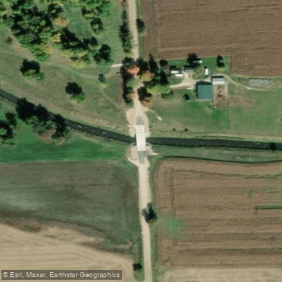
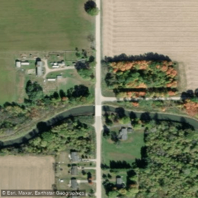
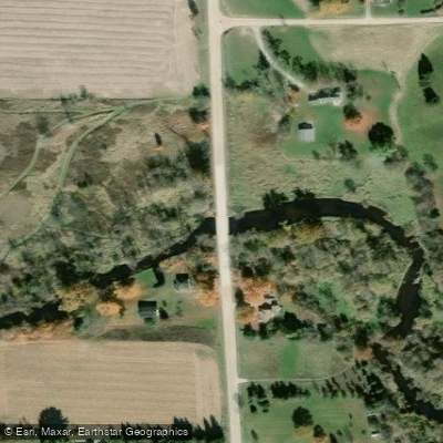
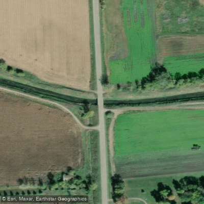
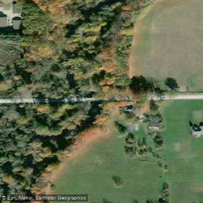
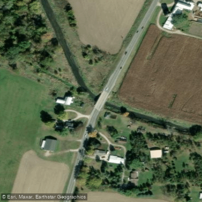
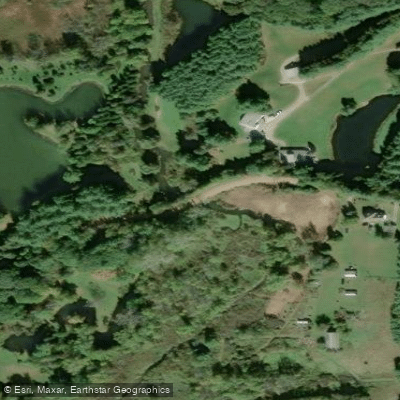
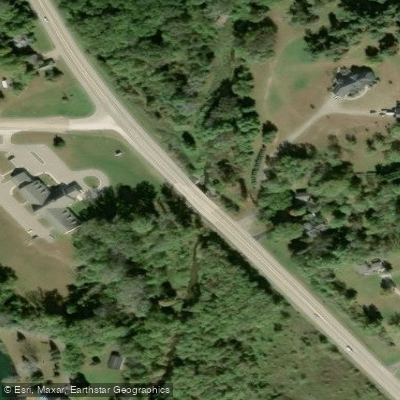
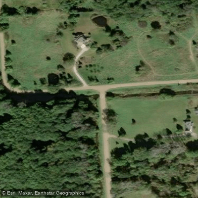
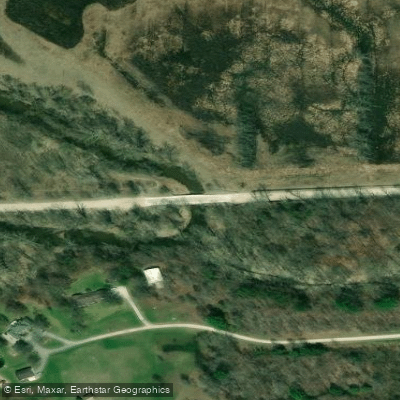
Learn how to get on Belle River. Uncover great paddling access points, boat ramps, and all the facilities you need for an unforgettable day on the water. Some locations shown may border or include private property. Always check property boundaries and applicable regulations before visiting. PaddleWays's Public & Private Land layer can help you plan your access with confidence.
Paddle smarter with real-time insights
Whether you're en route and conditions shift or you're looking for the best spot based on current flows, we enable you to make informed decisions on the fly.








Find Places to Paddle

Over 400,000 Places to Paddle
Every user gets free access to launch points, boat ramps, and public property parcels.


Water and weather conditions (10 day forecast)
See the best times to paddle Belle River and check the forecast before you go.
BELLE RIVER AT MEMPHIS, MI
Paddling near Belle River
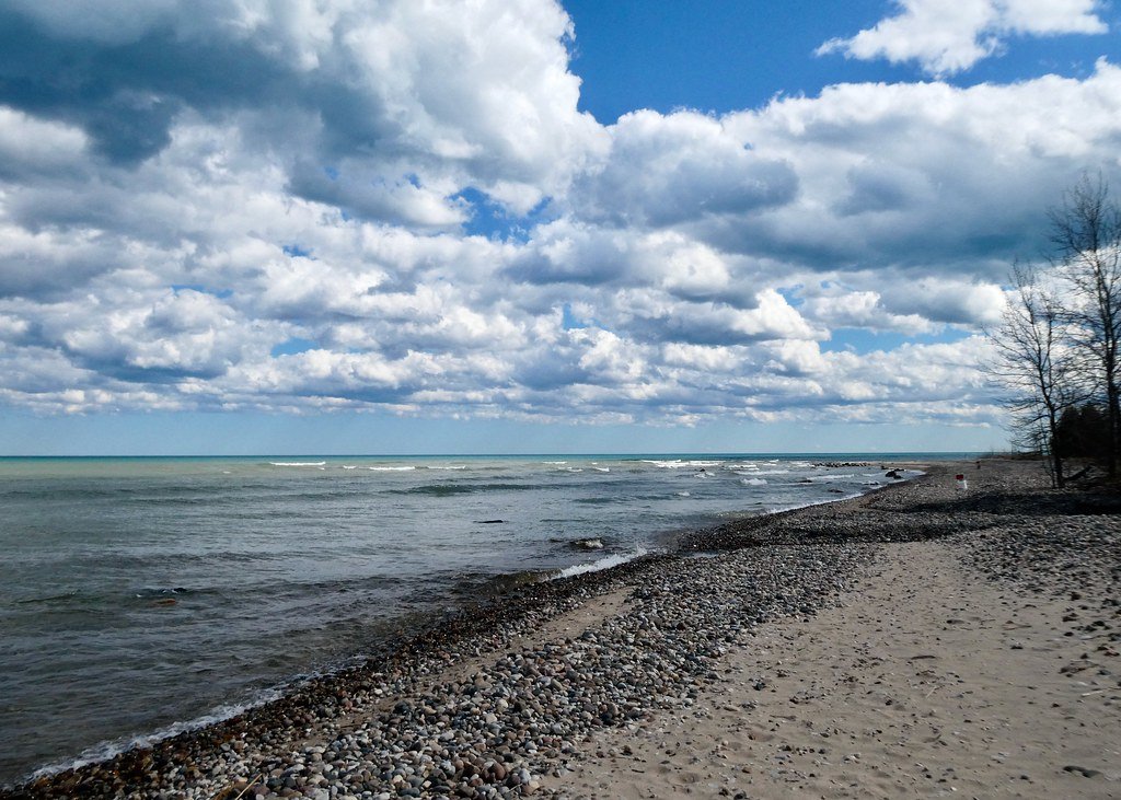
Lake Huron
Saint Clair River
Black River
Lake Saint Clair
Pine River
Clinton River
Black Creek
Lakeville Lake
Stony Creek Lake
Explore Michigan waters
Top paddling waters
Popular Cities
Loading popular cities...
Explore near Belle River
Access points
Nearby waters
More in Michigan

Smarter Paddling Starts in the App.
Paddleways gives you everything you need to plan smarter, paddle better, and own every trip from first launch to takeout.