Pine River
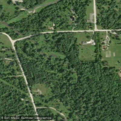
Pine River
- Boat Ramps
- 2
- Access Points
- 2
- Campsites
- 0
Pine River: St. Clair County's Hidden Paddling Gem Pine River offers one of southeastern Michigan's most accessible and rewarding paddling experiences, flowing through the heart of St. Clair County before joining the mighty St. Clair River. As the only watershed found entirely within the county, this intimate waterway provides a perfect escape from the bustle of nearby metropolitan areas while showcasing the natural beauty of Michigan's Thumb region.
River Character and Experience The Pine River presents a gentle, family-friendly paddling experience ideal for beginners and those seeking a relaxing day on the water. Unlike its more famous northern Michigan namesake, this Pine River maintains a steady, moderate current without challenging rapids or technical sections. The river averages 30-40 feet in width and runs 2-4 feet deep in most sections, creating perfect conditions for kayaks, canoes, and even stand-up paddleboards.
We particularly appreciate how this river flows through a diverse landscape of agricultural fields, wetlands, and scattered woodlands, offering constantly changing scenery throughout your paddle. The waterway maintains excellent clarity most of the year, allowing you to spot fish and observe the river bottom in many areas.
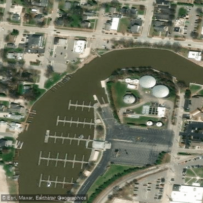
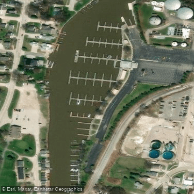
The Primary Section: Municipal Marina to Turtle Beach The main paddling route spans 8.4 miles round-trip, beginning at the City of St. Clair Municipal Marina on Cedar Street and heading upstream to the turnaround point at "Turtle Beach," located just south of Fred Moore Highway. This section receives an "easy" rating, making it perfect for paddlers of all skill levels.
You'll launch from the well-maintained marina facilities, where kayak rentals are available by the hour for those without their own craft. The marina provides convenient parking, restrooms, and easy water access via a dedicated canoe and kayak launch ramp. From here, you paddle upstream through increasingly natural surroundings as you leave the developed shoreline behind.
The highlight of this route is reaching Turtle Beach, a designated rest area featuring a picnic shelter and portable toilet facilities. British Petroleum has thoughtfully provided nature trails in this area, allowing you to stretch your legs and explore the terrestrial environment. This makes an excellent lunch stop before beginning your downstream return to the marina.
Seasonal Considerations and Flow Pine River maintains paddleable water levels throughout most of the paddling season, typically from late April through October. Spring offers the most reliable flows and cooler temperatures, while summer provides warm, comfortable conditions perfect for a leisurely float. The river's groundwater-fed nature helps maintain consistent flows even during drier periods.
We recommend avoiding the river during periods of heavy rain or snowmelt, when increased flows can create stronger currents and reduced visibility. The relatively small watershed means conditions can change quickly, so check recent weather patterns before your trip.
Natural Features and Wildlife The Pine River corridor supports diverse wildlife populations, making it excellent for nature observation. You'll likely encounter great blue herons, kingfishers, and various waterfowl throughout your paddle. The surrounding wetlands and woodlands provide habitat for deer, muskrats, and numerous songbird species.
The river's clear waters support healthy fish populations, including smallmouth bass, walleye, and rock bass. While primarily a paddling destination, the Pine River also offers quality fishing opportunities for those who want to combine angling with their water adventure.
Important Hazards and Considerations While generally safe and straightforward, Pine River does present some challenges that paddlers should understand. The route can become difficult due to strong currents during high water periods, particularly in the lower sections near the St. Clair River confluence. Additionally, you'll encounter recreational boating traffic and occasional freighter traffic where the Pine River meets the St. Clair River.
The mouth of the Pine River, where it empties into the St. Clair River, deserves special attention. This area experiences significant boat traffic from pleasure craft and commercial vessels navigating the St. Clair River shipping channel. We strongly recommend staying well clear of the main shipping channel and being constantly aware of large vessel traffic.
Access and Logistics The St. Clair Municipal Marina serves as the primary access point, offering the most convenient launching and parking facilities. The marina's location at the river mouth also allows adventurous paddlers to explore the Pine River's confluence with the St. Clair River, though this requires advanced planning and awareness of shipping traffic.
For those bringing their own watercraft, the marina provides excellent facilities without the restrictions found on some other Michigan rivers. No permits are required for paddling the Pine River, making it an accessible option for spontaneous adventures.
What Makes Pine River Special Pine River stands out among southeastern Michigan's paddling destinations for its combination of accessibility, natural beauty, and historical significance. The river flows through some of St. Clair County's most scenic countryside while remaining easily reachable from major population centers. Its connection to the Great Lakes shipping channel adds a unique element – you can paddle a quiet, intimate river and emerge into one of North America's most important waterways.
The river's role as St. Clair County's only complete watershed gives it special ecological importance, supporting diverse plant and animal communities while providing crucial habitat connectivity throughout the region. For paddlers seeking a taste of Michigan's natural heritage without venturing far from civilization, Pine River delivers an authentic and rewarding experience that showcases the best of southeastern Michigan's water resources.
Water access, boat ramps & amenities
Learn how to get on Pine River. Uncover great paddling access points, boat ramps, and all the facilities you need for an unforgettable day on the water. Some locations shown may border or include private property. Always check property boundaries and applicable regulations before visiting. PaddleWays's Public & Private Land layer can help you plan your access with confidence.
Paddle smarter with real-time insights
Whether you're en route and conditions shift or you're looking for the best spot based on current flows, we enable you to make informed decisions on the fly.








Find Places to Paddle

Over 400,000 Places to Paddle
Every user gets free access to launch points, boat ramps, and public property parcels.


Water and weather conditions (10 day forecast)
See the best times to paddle Pine River and check the forecast before you go.
No forecast data available.
Paddling near Pine River
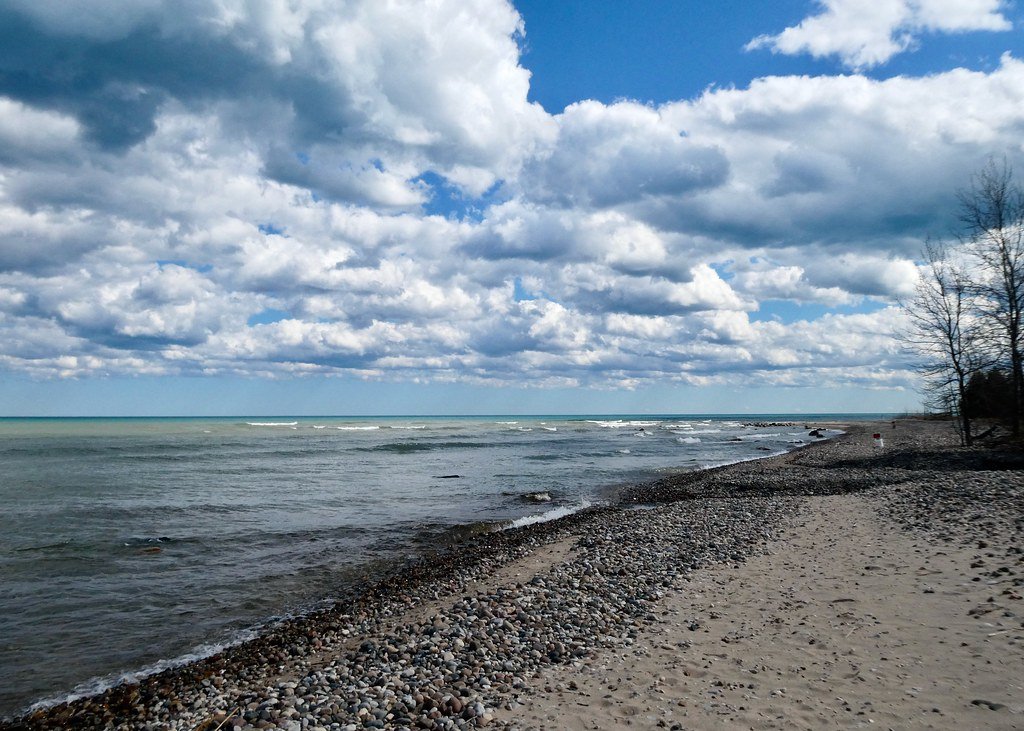
Lake Huron
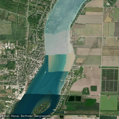
Saint Clair River
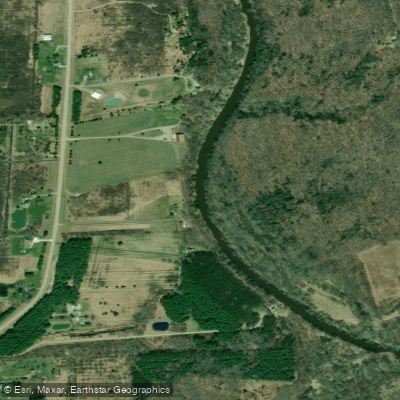
Black River
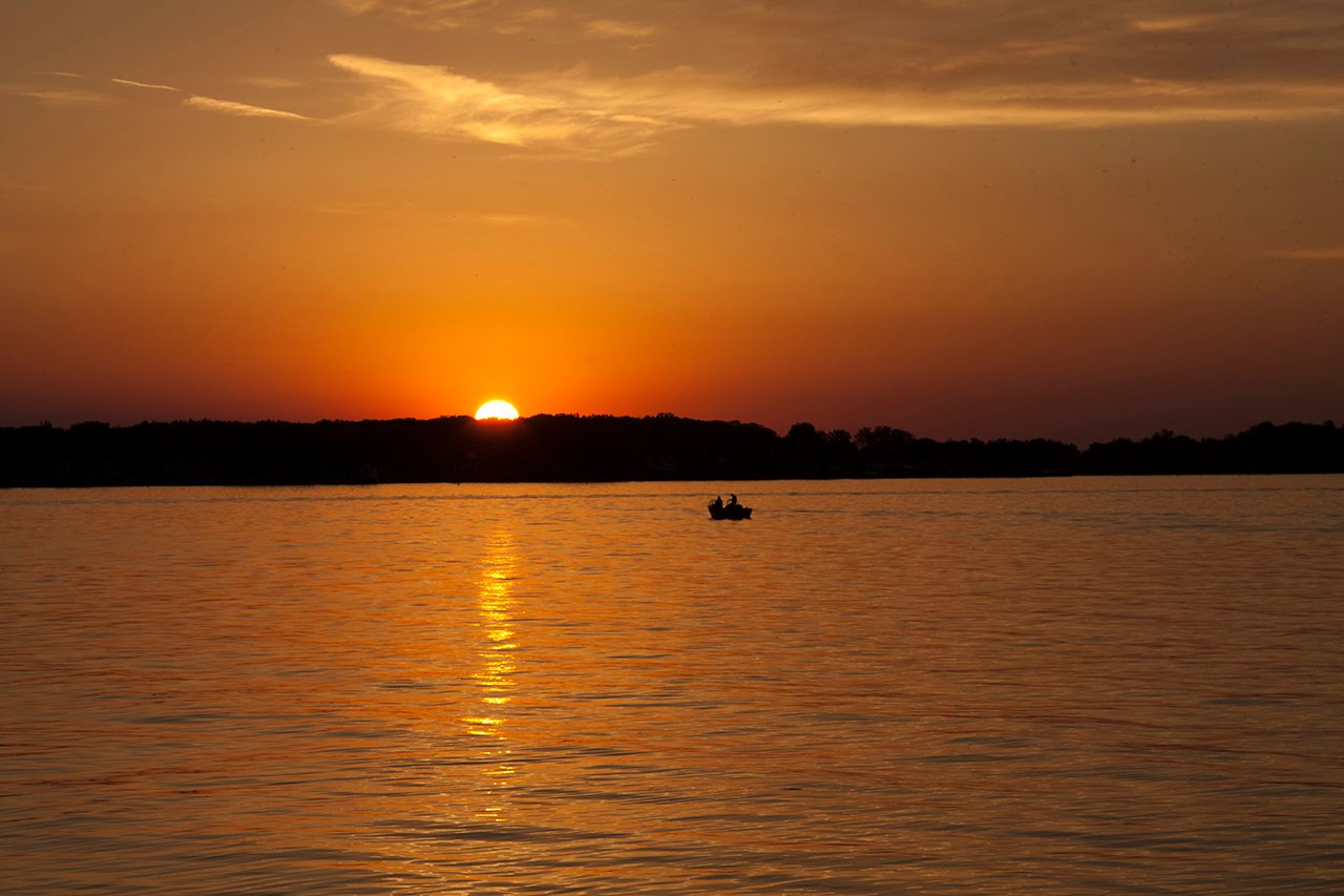
Lake Saint Clair
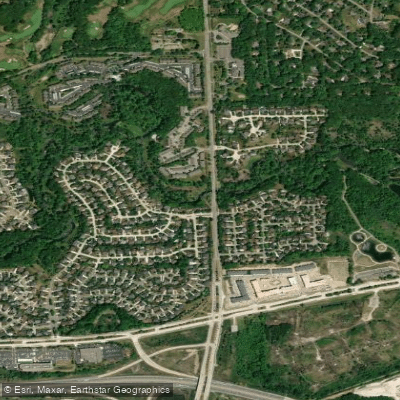
Clinton River
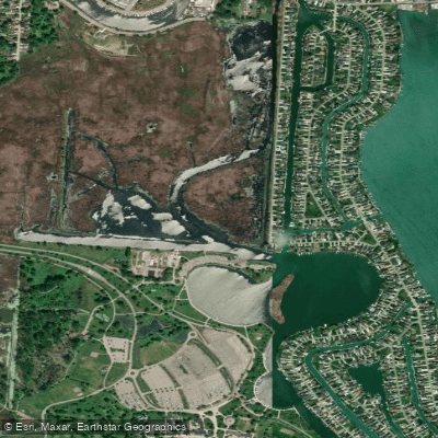
Black Creek
Lakeville Lake
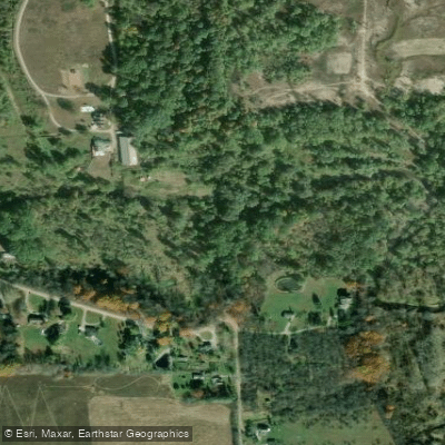
Belle River
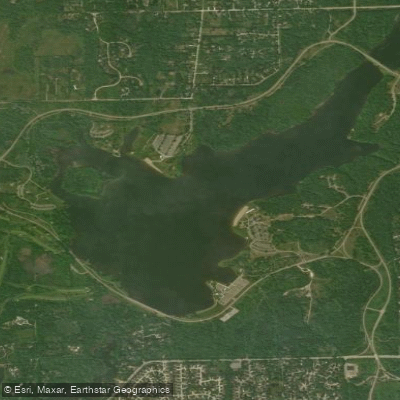
Stony Creek Lake
Explore Michigan waters
Top paddling waters
Popular Cities
Loading popular cities...
Explore near Pine River
Access points
Nearby waters
More in Michigan

Smarter Paddling Starts in the App.
Paddleways gives you everything you need to plan smarter, paddle better, and own every trip from first launch to takeout.