Lake Saint Clair
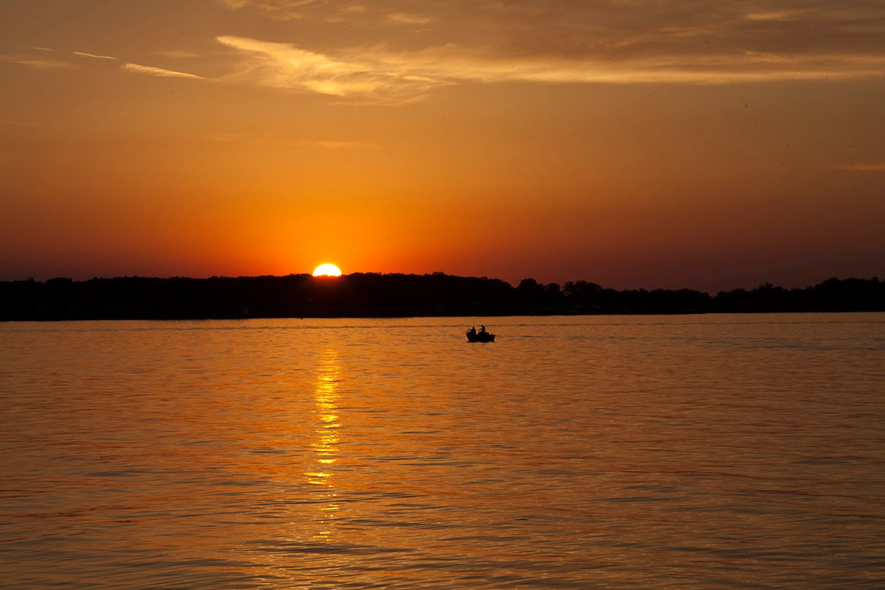
Lake Saint Clair
- Boat Ramps
- 10
- Access Points
- 10
- Campsites
- 2
Lake Saint Clair, located in Michigan, offers diverse paddling opportunities with its 430 square miles of freshwater and 160 miles of shoreline. The lake has an average depth of 10 feet and a maximum depth of 21 feet, creating favorable conditions for kayaking and fishing. Multiple access points are available, including the 9 Mile Boat Ramp in St. Clair Shores, which is free for kayaks and provides a gated parking lot with an attendant.
Paddlers should be aware of potential hazards such as choppy conditions when winds exceed 10 mph. It's advisable to paddle on weekdays and finish by 11 am to avoid heavy boat traffic. The lake can become challenging in windy conditions, so checking weather forecasts is crucial.
Notable sights include the Grosse Pointe Woods Lakefront Park's no-wake area, Eleanor and Edsel Ford House inlet, and Grosse Pointe Shores. Wildlife enthusiasts may spot turtles, water snakes, ducks, geese, and herons. The lake is renowned for its fishing, with species like muskellunge, smallmouth bass, yellow perch, and walleye.
Several paddling routes are available. A popular option is kayaking south on the Lake St. Clair Water Trail from the 9 Mile Boat Ramp. For a more secluded experience, the St. Clair River Delta, locally known as "The Flats," offers narrow passages through cattails and marsh grasses.
Facilities for paddlers include restrooms, drinking water, and picnic areas at various access points. Some locations, like the 9 Mile Boat Ramp, have a closing time around 8 pm due to border security considerations. Overnight parking is allowed at certain sites with prior notification to attendants.
Lake Saint Clair is not only a recreational destination but also an important ecological asset, often referred to as the "Heart of the Great Lakes." Its unique position within the Great Lakes basin contributes to its status as one of the largest sport fisheries in the world.
Water access, boat ramps & amenities
Learn how to get on Lake Saint Clair. Uncover great paddling access points, boat ramps, and all the facilities you need for an unforgettable day on the water. Some locations shown may border or include private property. Always check property boundaries and applicable regulations before visiting. PaddleWays's Public & Private Land layer can help you plan your access with confidence.
Paddle smarter with real-time insights
Whether you're en route and conditions shift or you're looking for the best spot based on current flows, we enable you to make informed decisions on the fly.








Find Places to Paddle

Over 400,000 Places to Paddle
Every user gets free access to launch points, boat ramps, and public property parcels.


Water and weather conditions (10 day forecast)
See the best times to paddle Lake Saint Clair and check the forecast before you go.
LAKE ST. CLAIR AT BELLE RIVER
Paddling near Lake Saint Clair

Lake Erie
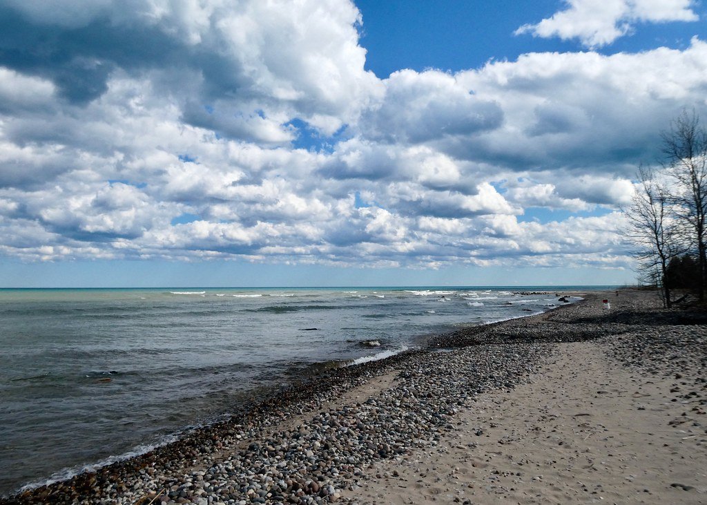
Lake Huron
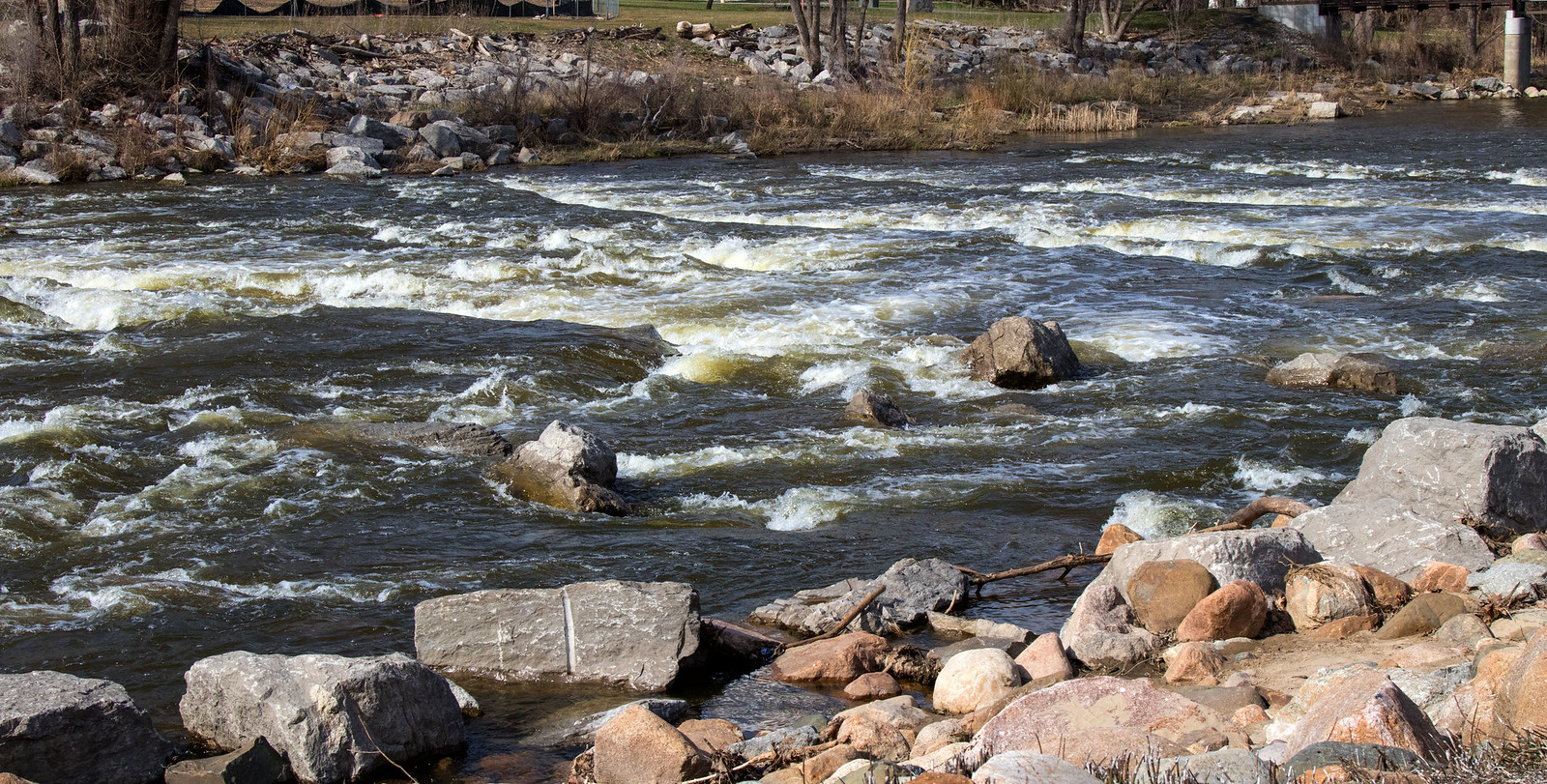
Shiawassee River
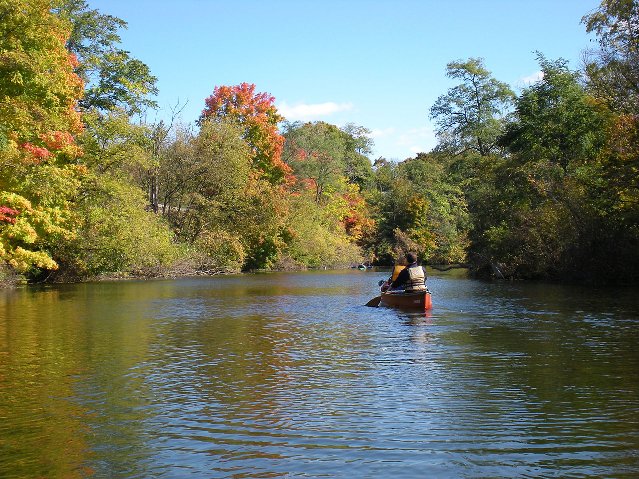
Huron River
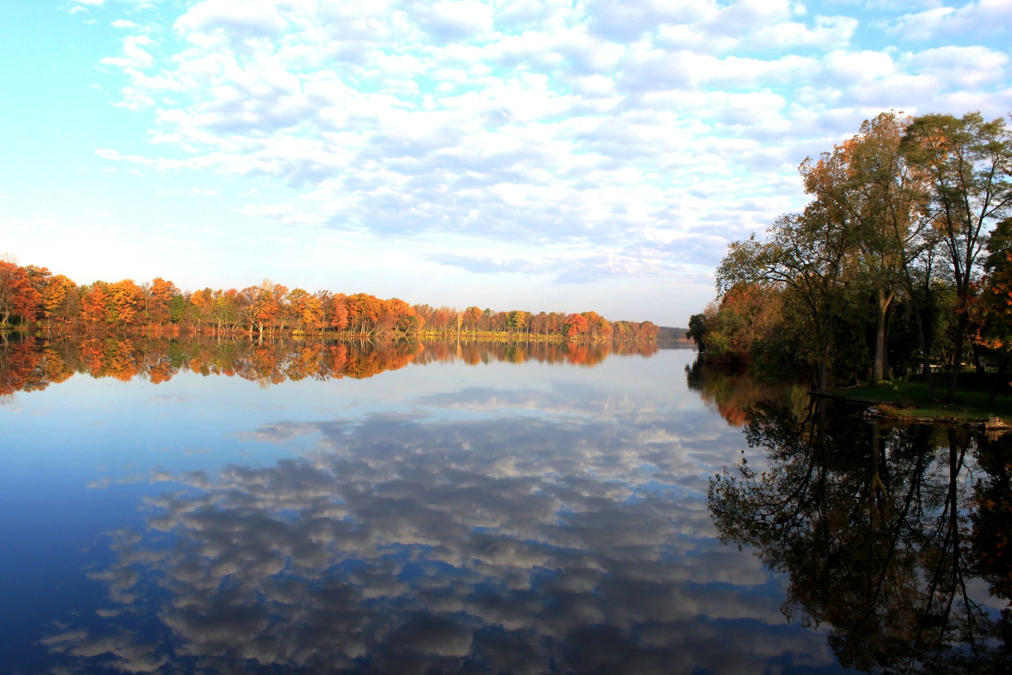
River Raisin
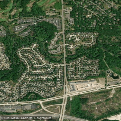
Clinton River
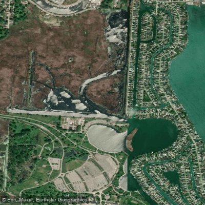
Black Creek
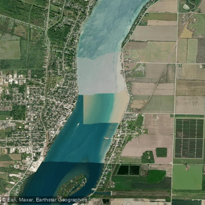
Saint Clair River
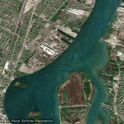
Detroit River
Explore Michigan waters
Top paddling waters
Popular Cities
Loading popular cities...
Explore near Lake Saint Clair
Access points
Nearby waters
More in Michigan

Smarter Paddling Starts in the App.
Paddleways gives you everything you need to plan smarter, paddle better, and own every trip from first launch to takeout.