Cedar Island Lake
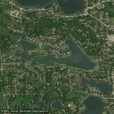
Cedar Island Lake
- Boat Ramps
- 1
- Access Points
- 1
- Campsites
- 7
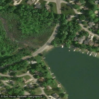
Cedar Island Lake is a 144-acre body of water located in Oakland County, Michigan. The lake features a public boat ramp managed by the Michigan Department of Natural Resources, located at coordinates 42.63412857, -83.48783875. This launch site accommodates a range of watercraft including kayaks, canoes, and small to medium-sized boats.
The boat ramp provides reliable access for paddlers, with sufficient width to handle multiple vessels, though exact ramp dimensions are not specified. The lake is open to public use with no specific restrictions on the types of watercraft permitted, though standard Michigan boating regulations apply. Paddlers should always wear appropriate personal flotation devices as required by state law.
The lake supports a healthy fish population including panfish, largemouth bass, and northern pike. These species attract anglers throughout the season, so paddlers should be aware of fishing activity, particularly around weed beds and deeper water areas. Spring and fall offer optimal conditions for water activities, with spring temperatures typically ranging from 40-60°F and fall temperatures between 50-70°F.
Before launching, paddlers should check current regulations and safety guidelines with the Michigan Department of Natural Resources, as specific rules may change. While the lake is publicly accessible, detailed information about specific amenities, parking facilities, or fees at the launch site should be verified before visiting.
As with all Michigan waterways, paddlers should follow standard safety protocols, including filing a float plan with someone onshore and being prepared for changing weather conditions. The lake's relatively modest size makes it suitable for day trips and exploration of the shoreline.
Water access, boat ramps & amenities
Learn how to get on Cedar Island Lake. Uncover great paddling access points, boat ramps, and all the facilities you need for an unforgettable day on the water. Some locations shown may border or include private property. Always check property boundaries and applicable regulations before visiting. PaddleWays's Public & Private Land layer can help you plan your access with confidence.
Paddle smarter with real-time insights
Whether you're en route and conditions shift or you're looking for the best spot based on current flows, we enable you to make informed decisions on the fly.








Find Places to Paddle

Over 400,000 Places to Paddle
Every user gets free access to launch points, boat ramps, and public property parcels.


Water and weather conditions (10 day forecast)
See the best times to paddle Cedar Island Lake and check the forecast before you go.
No forecast data available.
Paddling near Cedar Island Lake
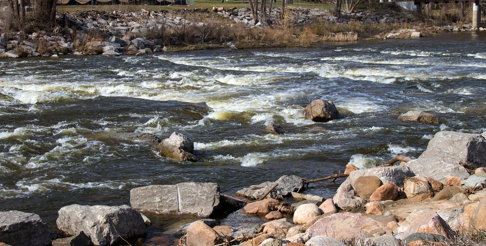
Shiawassee River
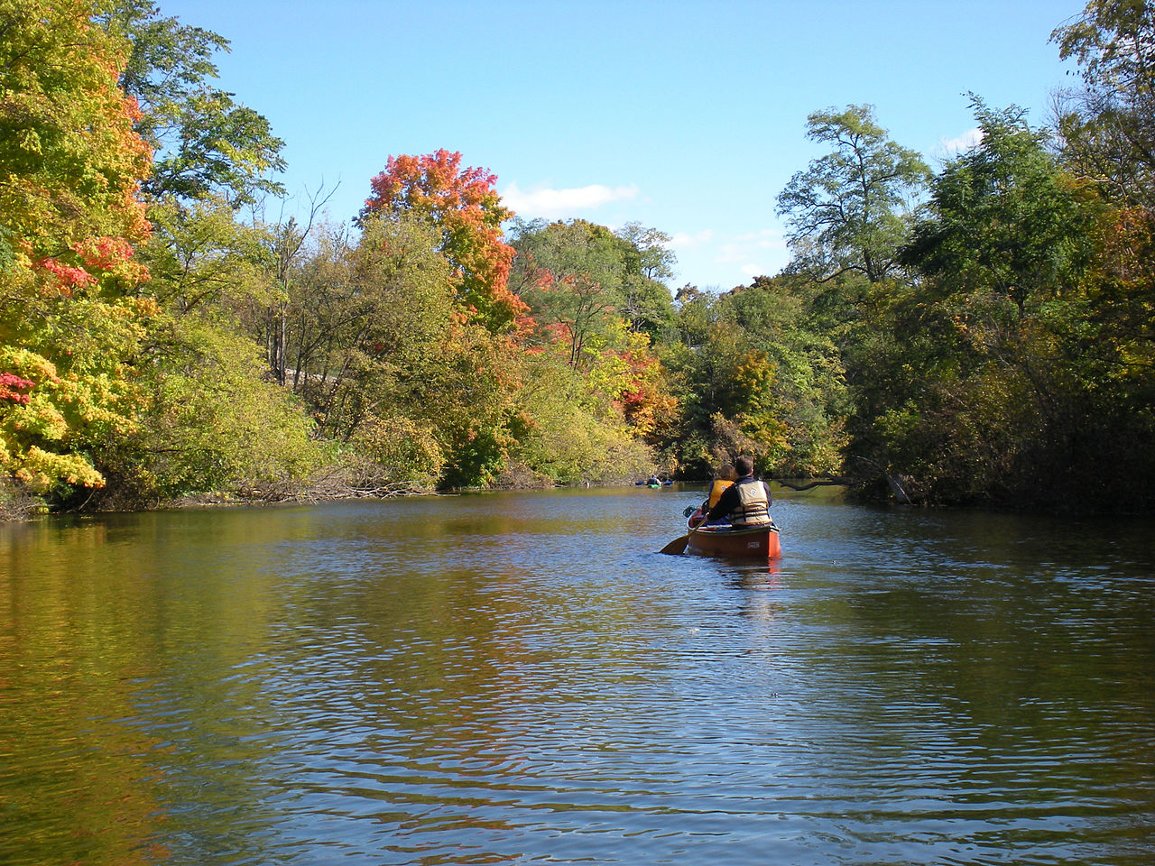
Huron River

Lake Erie
River Raisin
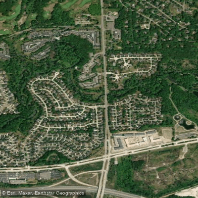
Clinton River
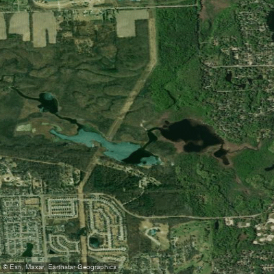
Proud Lake
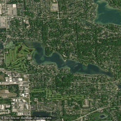
Middle Straits Lake
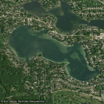
Long Lake
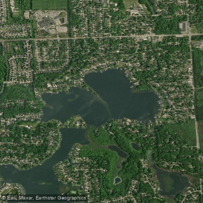
North Commerce Lake
Explore Michigan waters
Top paddling waters
Popular Cities
Loading popular cities...
Explore near Cedar Island Lake
Access points
- Boat Ramp
- Huron River Bridge
- Huron River Bridge
- Clinton River Bridge
- Huron River Bridge
- Clinton River Bridge
- Clinton River Bridge
- Highland Group Campground
- Pontiac Lake-Modern Campground
- Pontiac Lake Modern Campground
- Proud Lake Recreation Area campground
- Proud Lake-Red Oaks Group Use Area Campground
- All 15 spots
Nearby waters
More in Michigan

Smarter Paddling Starts in the App.
Paddleways gives you everything you need to plan smarter, paddle better, and own every trip from first launch to takeout.