River Raisin
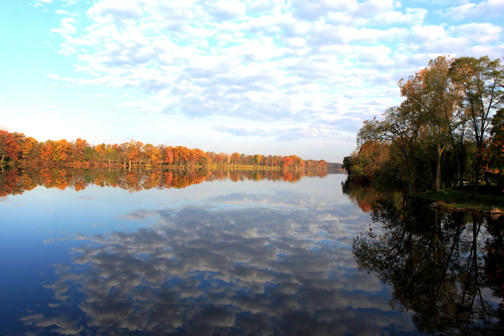
River Raisin
- Boat Ramps
- 15
- Access Points
- 23
- Campsites
- 9
The River Raisin is a 135-mile long waterway in southeastern Michigan that flows generally eastward before emptying into Lake Erie. Originating near Manchester, the river meanders through rural and urban landscapes, passing through the cities of Adrian, Tecumseh, Dundee, and Monroe. Its watershed covers approximately 1,070 square miles across parts of Lenawee, Monroe, Washtenaw, Jackson, and Hillsdale counties.
The River Raisin offers diverse paddling opportunities suitable for various skill levels. The upper sections near Manchester and Tecumseh feature calm waters ideal for beginners, with popular routes like the 2.4-mile Globe Mill Pond loop trail. The central portion from Dundee to Monroe provides a mix of flatwater paddling with occasional mild rapids, perfect for intermediate paddlers looking for a bit more excitement. The lower section near Monroe and Lake Erie offers scenic views and wildlife watching opportunities. Overall, the River Raisin is considered a flatwater paddling destination, with difficulty ranging from easy to moderate depending on water levels and specific sections. Most areas are suitable for canoes and kayaks, with some sections accessible to stand-up paddleboards.
The best paddling season typically runs from late spring through early fall, with May to October offering the most reliable water levels and comfortable temperatures. Autumn is particularly beautiful, as the abundant maple trees lining the banks provide stunning fall colors. Wildlife enthusiasts will appreciate the diverse ecosystems along the river, home to various bird species, fish, and mammals. The river supports smallmouth bass, making it popular among anglers.
Key landmarks include the historic mills in Tecumseh, the River Raisin National Battlefield Park in Monroe, and several dams that paddlers should be aware of for portaging. Popular access points include Sharon Mills County Park near Manchester, Tecumseh's Globe Mill Pond, River Raisin Canoe Livery in Dundee, and various launches in Monroe. The river holds significant historical importance, particularly for its role in the War of 1812 and the development of early Michigan settlements. Today, it continues to be a vital recreational and ecological resource for the region.
Safety considerations include checking water levels, being aware of dams and portage points, and following all local regulations. Some sections offer multi-day trip options, with camping available at designated sites along the route. For those seeking a quintessential Michigan paddling experience, the River Raisin offers a perfect blend of natural beauty, historical significance, and accessible adventure for paddlers of all levels.
Water access, boat ramps & amenities
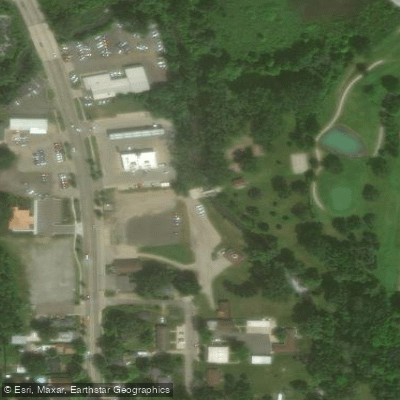
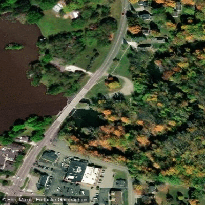
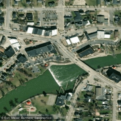
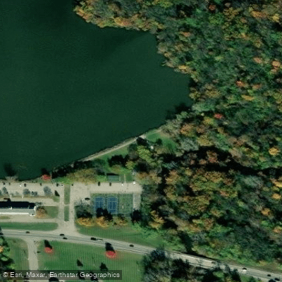
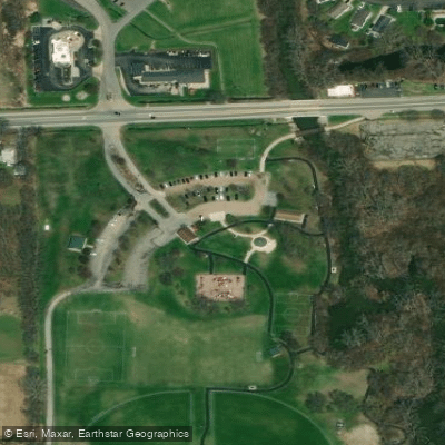
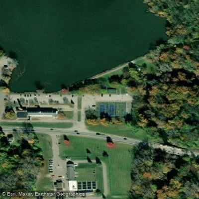
Learn how to get on River Raisin. Uncover great paddling access points, boat ramps, and all the facilities you need for an unforgettable day on the water. Some locations shown may border or include private property. Always check property boundaries and applicable regulations before visiting. PaddleWays's Public & Private Land layer can help you plan your access with confidence.
Paddle smarter with real-time insights
Whether you're en route and conditions shift or you're looking for the best spot based on current flows, we enable you to make informed decisions on the fly.








Find Places to Paddle

Over 400,000 Places to Paddle
Every user gets free access to launch points, boat ramps, and public property parcels.


Water and weather conditions (10 day forecast)
See the best times to paddle River Raisin and check the forecast before you go.
RIVER RAISIN NEAR MANCHESTER, MI
All Flow Stations
Paddling near River Raisin

Lake Erie
Maumee River
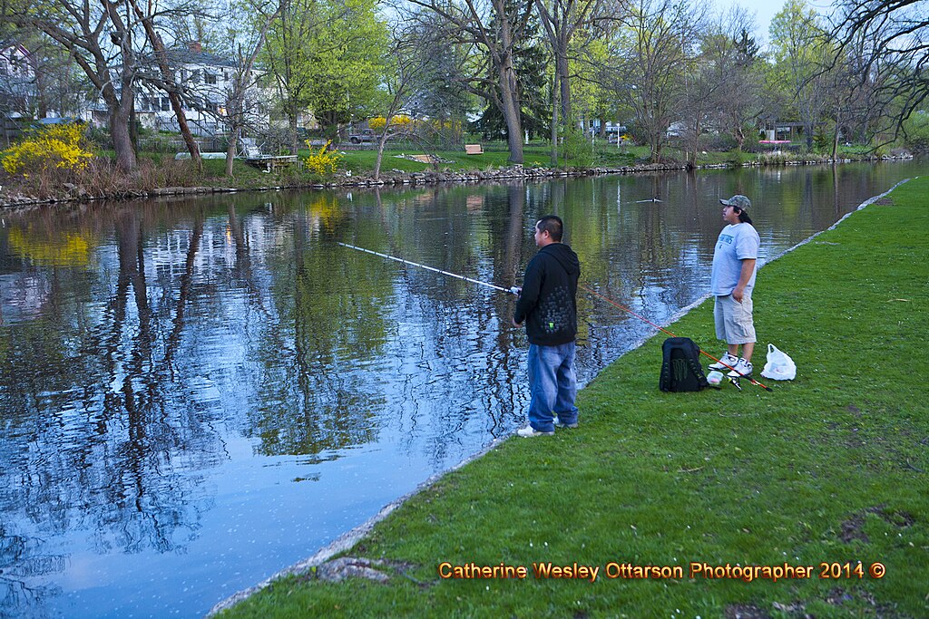
Grand River
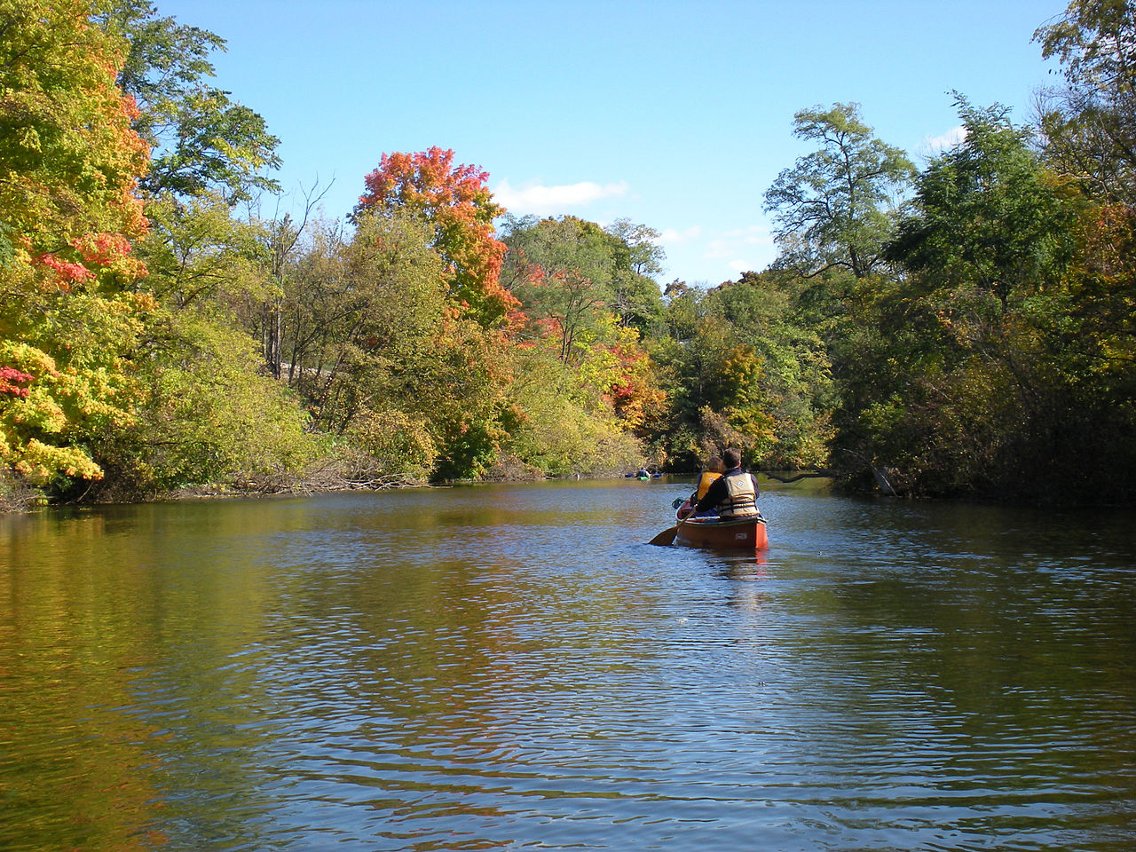
Huron River
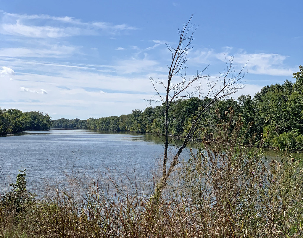
Auglaize River
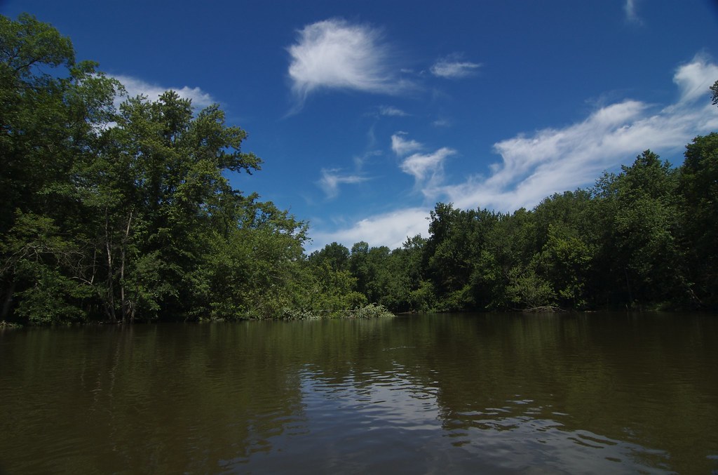
Kalamazoo River
Portage River
Lake Hudson
Standish Pond
Explore Michigan waters
Top paddling waters
Popular Cities
Loading popular cities...
Explore near River Raisin
Access points
Nearby waters
More in Michigan

Smarter Paddling Starts in the App.
Paddleways gives you everything you need to plan smarter, paddle better, and own every trip from first launch to takeout.