Gun Lake
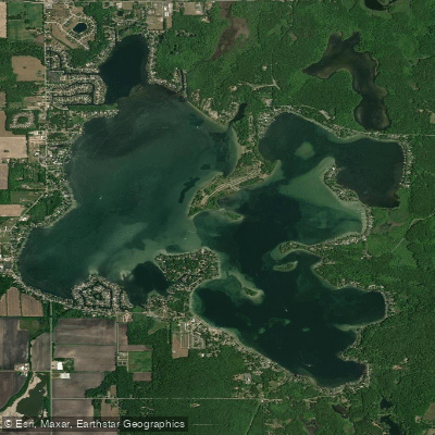
Gun Lake
- Boat Ramps
- 3
- Access Points
- 3
- Campsites
- 4
Gun Lake is a 2,680-acre all-sports lake straddling Barry and Allegan counties in southwest Michigan, offering excellent paddling opportunities with nearly 18 miles of shoreline to explore. Located approximately 25 miles southeast of Grand Rapids within Yankee Springs Recreation Area, the lake consists of two distinct basins separated by a gravel bar—a deeper eastern basin with steep shorelines and a shallower western basin averaging 5-10 feet deep.
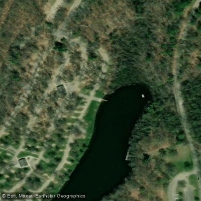
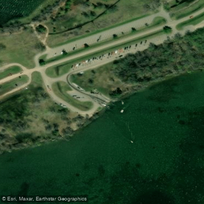
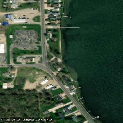
Paddlers can launch from multiple access points, including Yankee Springs State Park's modern campground facilities on the east side, Gun Lake County Park with an ADA-accessible dock on the west shore, and the Patterson Road area near the southern end. Kayak and paddleboard rentals are available from several marinas including Gun Lake Marina & Rentals. The Gun Lake Trail, a 0.9-mile accessible path, connects the campground to the day-use area and offers easy water access.
The lake's varied character provides diverse paddling experiences. The western basin's shallow, warmer waters are ideal for beginners and recreational paddling, while the deeper eastern basin offers more challenging conditions when winds pick up. Sandbars provide popular stopping points for rest breaks. The shoreline alternates between natural wooded sections, wetlands with emergent vegetation, and developed areas with homes and resorts.
Wildlife viewing opportunities include migratory waterfowl, herons, and occasional otters along quieter stretches. Native wild rice beds are being restored in some areas. The lake bottom is primarily marl with scattered gravel bars and boulders—paddlers should watch for submerged stumps in some areas, remnants from when the lake was impounded in 1905.
Wind and boat traffic can be significant during summer weekends, making early mornings or weekdays preferable for peaceful paddling. The lake's designation as an all-sports waterbody means sharing space with powerboats, jet skis, and water skiers during peak season. Invasive species concerns require cleaning watercraft between launches.
Water access, boat ramps & amenities
Learn how to get on Gun Lake. Uncover great paddling access points, boat ramps, and all the facilities you need for an unforgettable day on the water. Some locations shown may border or include private property. Always check property boundaries and applicable regulations before visiting. PaddleWays's Public & Private Land layer can help you plan your access with confidence.
Paddle smarter with real-time insights
Whether you're en route and conditions shift or you're looking for the best spot based on current flows, we enable you to make informed decisions on the fly.








Find Places to Paddle

Over 400,000 Places to Paddle
Every user gets free access to launch points, boat ramps, and public property parcels.


Water and weather conditions (10 day forecast)
See the best times to paddle Gun Lake and check the forecast before you go.
No forecast data available.
Paddling near Gun Lake
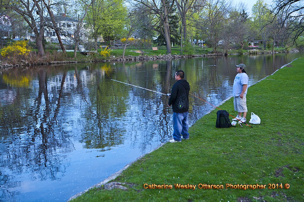
Grand River

Lake Michigan
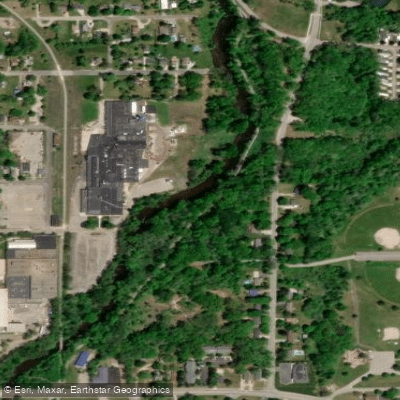
Flat River
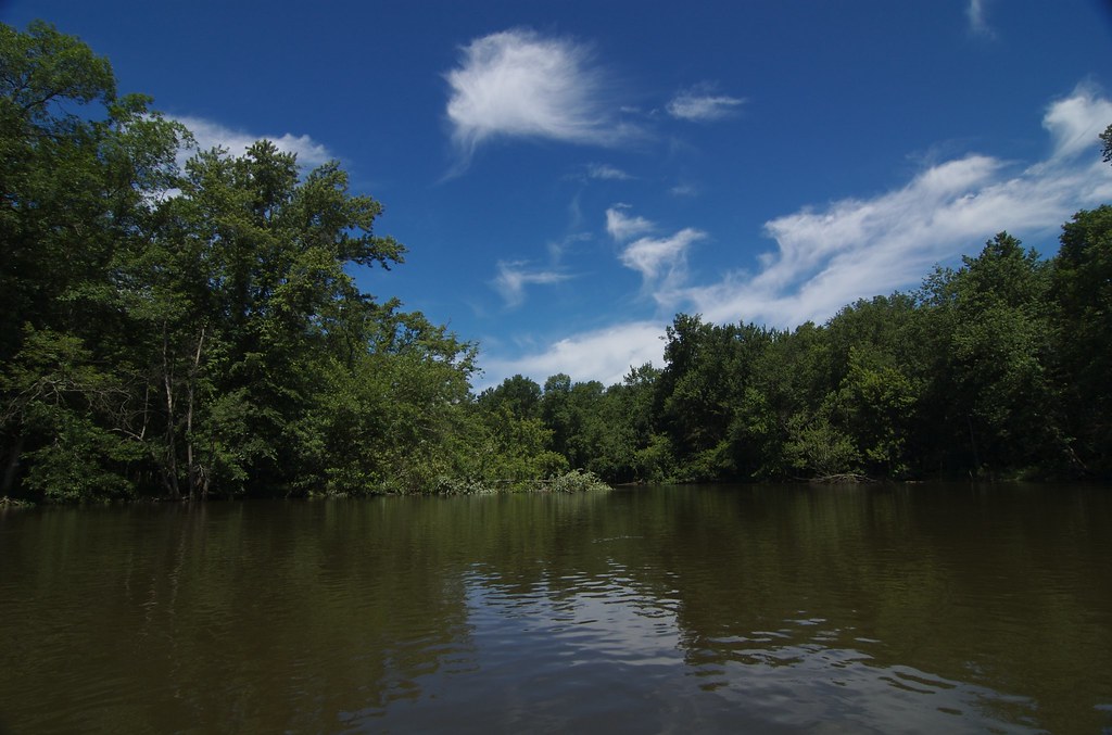
Kalamazoo River
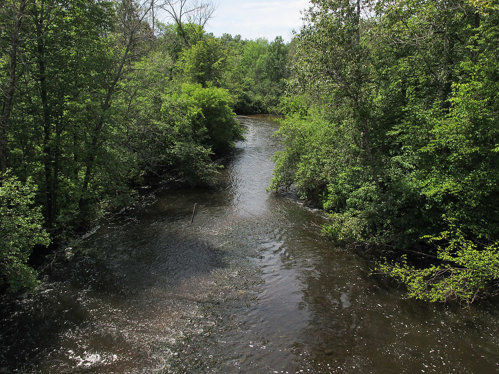
Muskegon River
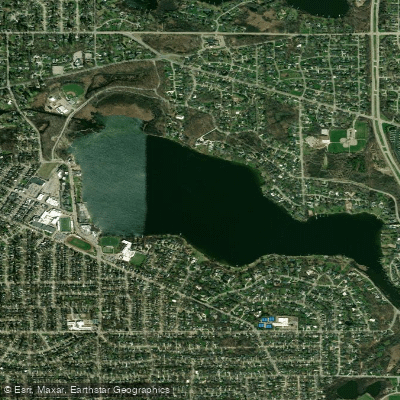
Reeds Lake
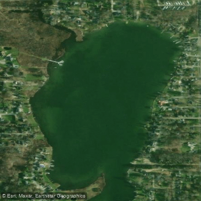
Campau Lake
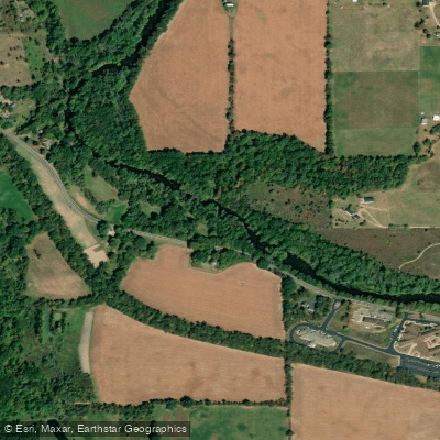
Thornapple River
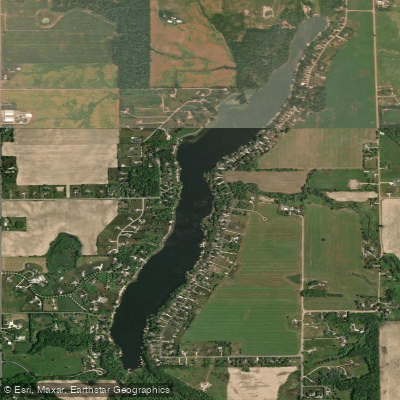
Duncan Lake
Explore Michigan waters
Top paddling waters
Popular Cities
Loading popular cities...
Explore near Gun Lake
Access points
Nearby waters
More in Michigan

Smarter Paddling Starts in the App.
Paddleways gives you everything you need to plan smarter, paddle better, and own every trip from first launch to takeout.