Thornapple River
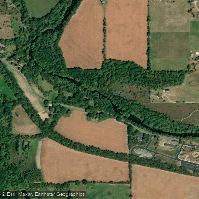
Thornapple River
- Boat Ramps
- 4
- Access Points
- 8
- Campsites
- 4
The Thornapple River is a significant waterway in western Michigan, originating near Boody Lake in Eaton County and flowing westward for approximately 88 miles before joining the Grand River in Ada. This river system drains a watershed of over 850 square miles across five counties, carving through rural landscapes and small towns. For paddlers, the Thornapple offers a variety of experiences, from peaceful flatwater stretches to occasional Class I-II rapids. The most popular sections run from Charlton Park near Nashville downstream to Ada. The upper reaches provide a more intimate, winding course through woodlands, while the lower sections widen as the river approaches its confluence with the Grand. Overall difficulty ranges from easy to moderately challenging, making it suitable for novice to intermediate paddlers.
However, several dams along the river's course require portages and careful navigation, particularly around Irving and Cascade. Water levels are generally most favorable for paddling from spring through early fall, with summer offering the most reliable conditions.
The river corridor supports diverse ecosystems, providing habitat for great blue herons, bald eagles, and various fish species including smallmouth bass and northern pike. Paddlers may also spot white-tailed deer and wild turkeys along the wooded banks.
Key landmarks include the historic covered bridge at Fallasburg Park, the quaint downtown of Hastings, and the series of hydroelectric dams that punctuate the river's course. These dams, while obstacles for paddlers, are reminders of the river's importance to early industrial development in the region.
Popular access points include Charlton Park, Hastings City Park, Irving Road, and Ruehs Park in Alaska. The towns of Nashville, Hastings, Middleville, and Ada serve as convenient base camps for river trips.
For those seeking multi-day adventures, the 16.5-mile stretch from Hastings to Middleville offers an excellent overnight option, with several campgrounds along the route. This section typically takes about 6-7 hours of paddling time, allowing for a leisurely two-day journey.
Safety considerations include being aware of water levels, which can fluctuate rapidly after heavy rains, and exercising caution around dams and portage areas. Paddlers should also be prepared for occasional low-water conditions in late summer, which may require dragging boats through shallow riffles.
The Thornapple River, with its mix of natural beauty and historical significance, provides a quintessential Michigan paddling experience, offering a window into the state's rural heartland and its evolving relationship with its waterways.
Water access, boat ramps & amenities
Learn how to get on Thornapple River. Uncover great paddling access points, boat ramps, and all the facilities you need for an unforgettable day on the water. Some locations shown may border or include private property. Always check property boundaries and applicable regulations before visiting. PaddleWays's Public & Private Land layer can help you plan your access with confidence.
River Street Put In
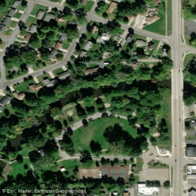
Tyden Park Access
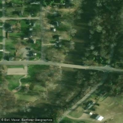
Alaska Access
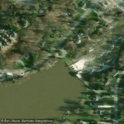
Thornapple Access
Paddle smarter with real-time insights
Whether you're en route and conditions shift or you're looking for the best spot based on current flows, we enable you to make informed decisions on the fly.








Find Places to Paddle

Over 400,000 Places to Paddle
Every user gets free access to launch points, boat ramps, and public property parcels.


Water and weather conditions (10 day forecast)
See the best times to paddle Thornapple River and check the forecast before you go.
THORNAPPLE RIVER NEAR CALEDONIA, MI
All Flow Stations
Paddling near Thornapple River
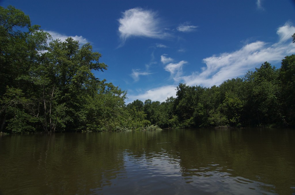
Kalamazoo River
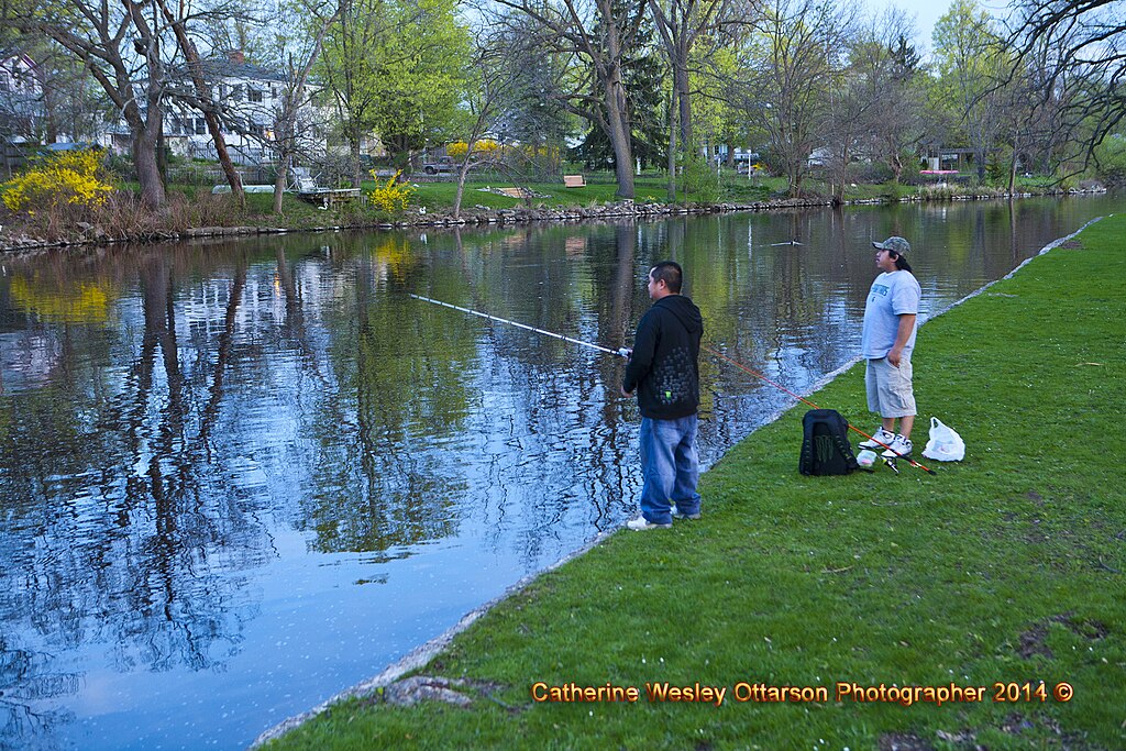
Grand River
Flat River
Saint Joseph River
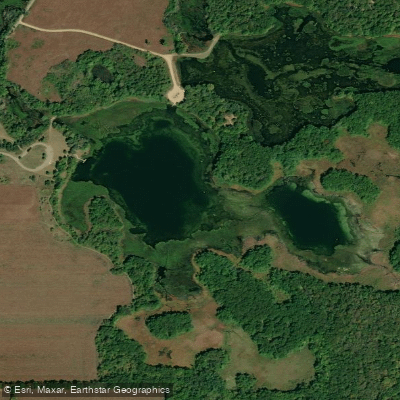
Whitford Lake
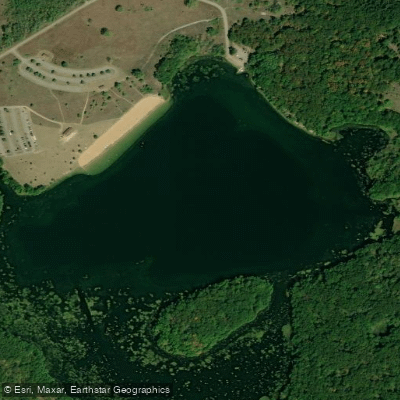
Eagle Lake
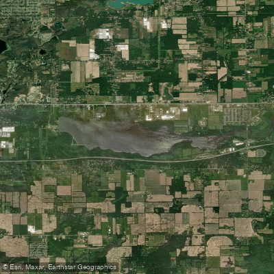
Morrow Lake
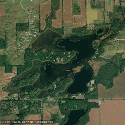
Portage Lake
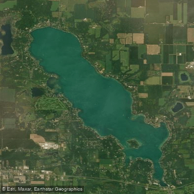
Gull Lake
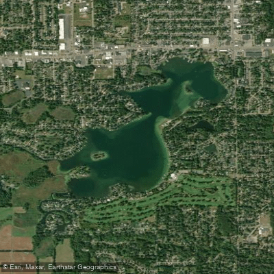
Goguac Lake
Explore Michigan waters
Top paddling waters
Popular Cities
Loading popular cities...
Explore near Thornapple River
Access points
Nearby waters
More in Michigan

Smarter Paddling Starts in the App.
Paddleways gives you everything you need to plan smarter, paddle better, and own every trip from first launch to takeout.