Indian Lake
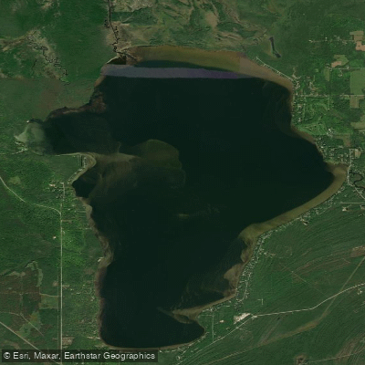
Indian Lake
- Boat Ramps
- 5
- Access Points
- 5
- Campsites
- 2
Indian Lake in Schoolcraft County is Michigan's fourth-largest inland lake in the Upper Peninsula, covering approximately 8,400 acres with dimensions of six miles long and three miles wide. The lake offers excellent paddling opportunities in a relatively shallow environment, with a maximum depth of 18 feet and about 90 percent of the water less than 15 feet deep.
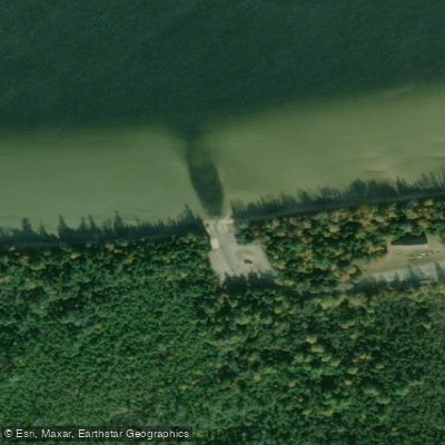
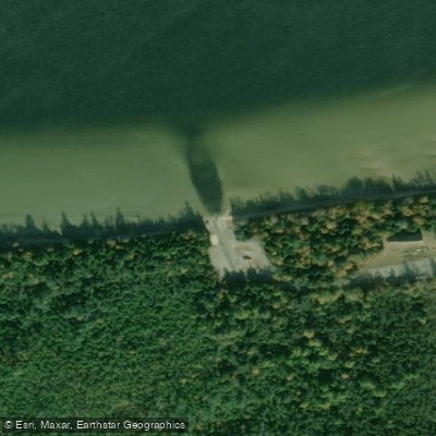
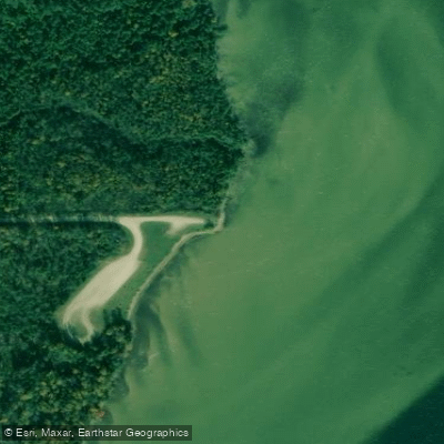
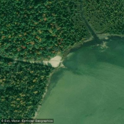
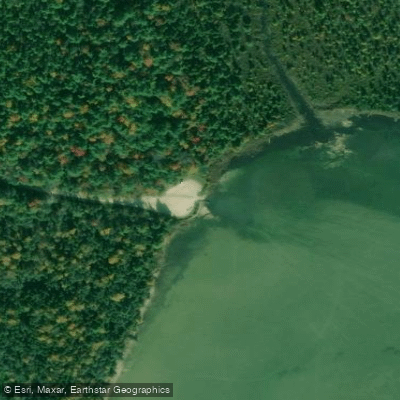
**Access Points** Paddlers have multiple access options. The primary boat launch is located at Palms Book State Park on the lake's west shore (Lat: 46.005201, Long: -86.373259), featuring a hard-surfaced ramp with one skid pier, parking for five vehicles, and vault toilets. A Recreation Passport fee is required. Indian Lake State Park, located on the southern shore, provides another hard-surface ramp with better facilities including modern restrooms and more extensive parking. The park also offers a carry-in launch at the west shore unit within the semi-modern campground. Kayak rentals are available at Indian Lake State Park on a first-come, first-served basis.
**Character and Scenery** The lake's shallow, relatively calm waters make it ideal for smaller boats, canoes, and kayaks, particularly appealing to novice and intermediate paddlers. The shoreline features a mix of northern hardwoods, mixed conifers, and marshland environments. A paved quarter-mile trail runs along the southern shoreline, connecting various sections of Indian Lake State Park.
**Caution** Despite its generally calm nature, paddlers should exercise caution during periods of strong winds. The lake's large size and shallow depth can create dangerous conditions quickly, with waves building rapidly across the expansive open water. It's recommended to stay near the shoreline during windy periods for safety. Wildlife viewing opportunities abound, with the surrounding Hiawatha National Forest providing habitat for diverse northwoods species.
Water access, boat ramps & amenities
Learn how to get on Indian Lake. Uncover great paddling access points, boat ramps, and all the facilities you need for an unforgettable day on the water. Some locations shown may border or include private property. Always check property boundaries and applicable regulations before visiting. PaddleWays's Public & Private Land layer can help you plan your access with confidence.
Paddle smarter with real-time insights
Whether you're en route and conditions shift or you're looking for the best spot based on current flows, we enable you to make informed decisions on the fly.








Find Places to Paddle

Over 400,000 Places to Paddle
Every user gets free access to launch points, boat ramps, and public property parcels.


Water and weather conditions (10 day forecast)
See the best times to paddle Indian Lake and check the forecast before you go.
No forecast data available.
Paddling near Indian Lake

Lake Superior

Lake Michigan
Au Train River
West Branch Manistique River
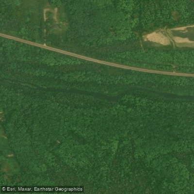
West Branch Whitefish River
Buck Bay Creek
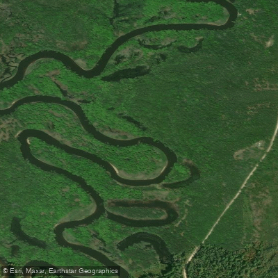
Manistique River
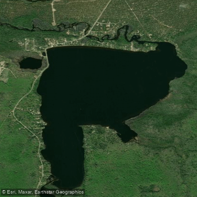
Au Train Lake
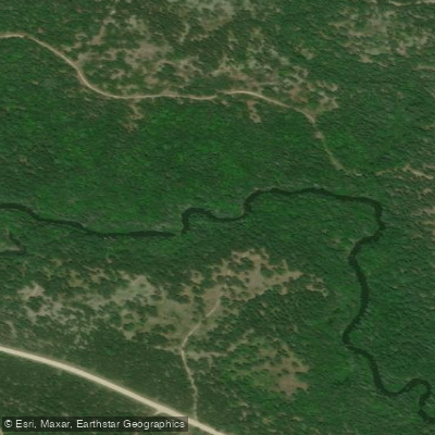
Fox River
Explore Michigan waters
Top paddling waters
Popular Cities
Loading popular cities...
Explore near Indian Lake
Access points
Nearby waters
More in Michigan

Smarter Paddling Starts in the App.
Paddleways gives you everything you need to plan smarter, paddle better, and own every trip from first launch to takeout.