West Branch Whitefish River
West Branch Whitefish River
- Boat Ramps
- 2
- Access Points
- 2
- Campsites
- 1
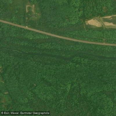
The West Branch Whitefish River originates from a series of spring-fed tributaries in west-central Marquette County in Michigan's Upper Peninsula. It flows southeasterly through the Hiawatha National Forest before joining the East Branch to form the main stem of the Whitefish River, which ultimately empties into Upper Little Bay de Noc on Lake Michigan. This cold, swift river offers varied paddling experiences across its approximately 22-mile length. The upper 4.2-mile section from County Road 444 to West Branch Forest Road 2236 features Class I-II rapids, providing a more challenging run for intermediate paddlers in the early spring when water levels are high. The lower 18-mile stretch from FR 2236 to the Rapid River Boat Launch is primarily Class I, suitable for novice paddlers during normal flow conditions.
Seasonal patterns heavily influence paddling opportunities. Spring snowmelt creates swift, deep waters ideal for experienced canoeists and kayakers, while also attracting steelhead anglers. As summer progresses, water levels drop significantly, often becoming too shallow for comfortable paddling in many areas. However, these conditions create excellent fishing opportunities, particularly for brook trout in the upper reaches.
The river corridor is renowned for its rich biodiversity. The surrounding Hiawatha National Forest harbors diverse wildlife, including white-tailed deer, black bears, and numerous bird species. The river itself supports a variety of fish, with smallmouth bass, northern pike, and walleye found in the lower sections.
Key access points include the put-in at County Road 444 and take-outs at West Branch FR 2236 and the Rapid River Boat Launch. The nearby town of Rapid River provides services for paddlers and anglers.
Historically, the Whitefish River valley served as an important travel route for indigenous peoples between Lake Superior and Lake Michigan. Today, the river's designation as part of the National Wild and Scenic Rivers System highlights its ecological and recreational significance.
For those planning extended trips, primitive camping is available along the lower section, allowing for multi-day adventures. However, paddlers should be aware of potential logjams and swift currents, especially during high water periods. As always, wearing a personal flotation device is essential for safety.
The West Branch Whitefish River offers a quintessential Upper Peninsula paddling experience, combining challenging whitewater, serene forest landscapes, and excellent fishing opportunities in a relatively undeveloped setting.
Water access, boat ramps & amenities
Learn how to get on West Branch Whitefish River. Uncover great paddling access points, boat ramps, and all the facilities you need for an unforgettable day on the water. Some locations shown may border or include private property. Always check property boundaries and applicable regulations before visiting. PaddleWays's Public & Private Land layer can help you plan your access with confidence.
Paddle smarter with real-time insights
Whether you're en route and conditions shift or you're looking for the best spot based on current flows, we enable you to make informed decisions on the fly.








Find Places to Paddle

Over 400,000 Places to Paddle
Every user gets free access to launch points, boat ramps, and public property parcels.


Water and weather conditions (10 day forecast)
See the best times to paddle West Branch Whitefish River and check the forecast before you go.
No forecast data available.
Paddling near West Branch Whitefish River

Lake Superior

Lake Michigan

Au Train River
West Branch Manistique River
Buck Bay Creek
Manistique River
Au Train Lake
Fox River
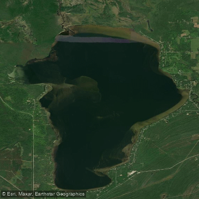
Indian Lake
Explore Michigan waters
Top paddling waters
Popular Cities
Loading popular cities...
Explore near West Branch Whitefish River
Access points
Nearby waters
More in Michigan

Smarter Paddling Starts in the App.
Paddleways gives you everything you need to plan smarter, paddle better, and own every trip from first launch to takeout.