Manistique River
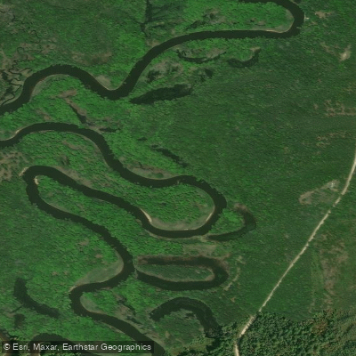
Manistique River
- Boat Ramps
- 9
- Access Points
- 9
- Campsites
- 4
The Manistique River is a scenic waterway flowing through Michigan's Upper Peninsula. Originating in the Seney National Wildlife Refuge, the river meanders southward for approximately 71 miles before emptying into Lake Michigan at the city of Manistique. The river's watershed encompasses a diverse landscape of hardwood forests, swamps, and mixed pine stands.
Paddling opportunities abound on the Manistique, with several distinct sections catering to different skill levels. The Upper Manistique, flowing through the Seney Wildlife Refuge, offers a serene flatwater experience ideal for beginners and wildlife enthusiasts. The Middle and Lower sections provide longer stretches of calm water, perfect for multi-day trips. Overall, the Manistique River is characterized by its gentle current and lack of rapids, making it suitable for novice paddlers and families. However, the river's width and occasional windy conditions can present challenges, requiring basic paddling skills and endurance.
The best paddling season typically runs from late spring through early fall, with summer offering warm temperatures and lush scenery. Spring can bring higher water levels, while fall rewards paddlers with stunning foliage.
The river's ecosystem supports a rich variety of wildlife. Paddlers may encounter mergansers, spotted sandpipers, mink, river otters, and wood turtles. The surrounding forests are home to white-tailed deer, black bears, and various bird species.
Key landmarks include the Seney National Wildlife Refuge, which encompasses the river's upper reaches, and the historic logging town of Germfask. The river's journey through the refuge provides unparalleled opportunities for wildlife viewing and nature photography.
Popular access points include Ten Curves Public Access near Germfask, Mead Creek State Forest Campground, and Merwin Creek State Forest Campground. The city of Manistique serves as the final take-out point, where the river meets Lake Michigan.
Historically, the Manistique River played a crucial role in the region's logging industry, transporting thousands of logs to nearby sawmills. Today, it stands as a testament to conservation efforts and provides a glimpse into the area's natural and cultural heritage.
Safety considerations include being prepared for sudden weather changes, wearing life jackets, and respecting wildlife. Paddlers should also be aware of the occasional submerged log or overhanging branch.
For those seeking a multi-day adventure, the Manistique offers several options. A popular route combines the Fox and Manistique Rivers, creating a 6-7 day journey through the heart of the Upper Peninsula's wilderness.
Water access, boat ramps & amenities
Learn how to get on Manistique River. Uncover great paddling access points, boat ramps, and all the facilities you need for an unforgettable day on the water. Some locations shown may border or include private property. Always check property boundaries and applicable regulations before visiting. PaddleWays's Public & Private Land layer can help you plan your access with confidence.
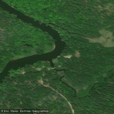
Mead Creek Sfcg Boat Ramp
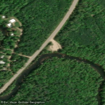
Ten Curves-Manistique River Boat Ramp
Boat Ramp
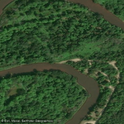
Merwin Creek Sfcg Boat Ramp
North Cedar Street Boat Ramp
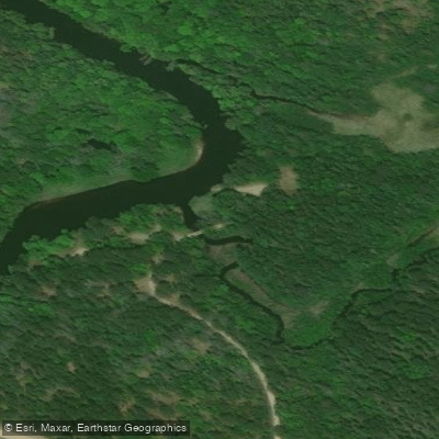
Boat Ramp
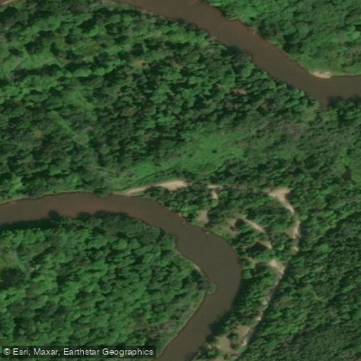
Boat Ramp
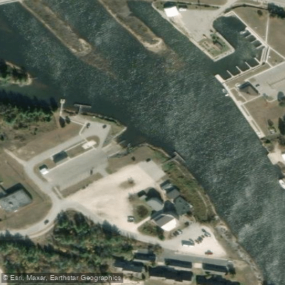
Great Lakes Boat Ramp
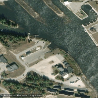
Manistique Municipal Ramp Boat Ramp
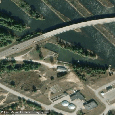
Great Lakes Boat Ramp
Paddle smarter with real-time insights
Whether you're en route and conditions shift or you're looking for the best spot based on current flows, we enable you to make informed decisions on the fly.








Find Places to Paddle

Over 400,000 Places to Paddle
Every user gets free access to launch points, boat ramps, and public property parcels.


Water and weather conditions (10 day forecast)
See the best times to paddle Manistique River and check the forecast before you go.
MANISTIQUE RIVER NEAR MANISTIQUE, MI
Paddling near Manistique River

Lake Superior

Lake Michigan
Au Train River
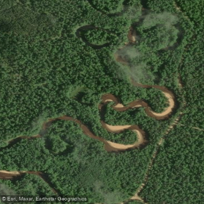
West Branch Manistique River
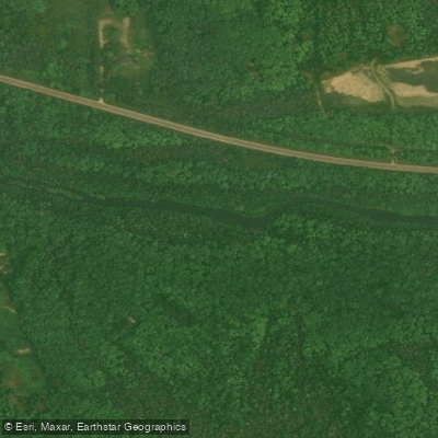
West Branch Whitefish River
Buck Bay Creek
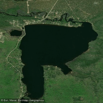
Au Train Lake
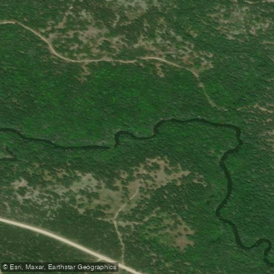
Fox River
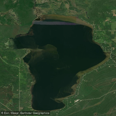
Indian Lake
Explore Michigan waters
Top paddling waters
Popular Cities
Loading popular cities...
Explore near Manistique River
Access points
Nearby waters
More in Michigan

Smarter Paddling Starts in the App.
Paddleways gives you everything you need to plan smarter, paddle better, and own every trip from first launch to takeout.