Kent Lake
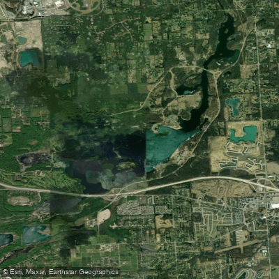
Kent Lake
- Boat Ramps
- 3
- Access Points
- 4
- Campsites
- 11
Kent Lake, located in Kensington Metropark, Michigan, offers paddlers a diverse 5-mile route with varying landscapes. The lake features multiple access points, including the West Boat Launch area with an accessible floating dock and launch. Paddlers can begin their journey from little Kent Lake in Island Lake State Park, passing under I-96 to enter Kensington Metropark.
The first two miles of Kent Lake provide a park-like setting, followed by two miles of undeveloped, relatively isolated stretches. The lake's undulating coastline and numerous islands allow for flexible routing options. Wildlife enthusiasts will appreciate the abundance of birds and animals visible from the water, including swans, geese, ducks, and the occasional osprey.
Powerboats are permitted on Kent Lake, but personal watercraft are prohibited. A 25 mph speed limit is enforced, with a 5 mph limit near docks and beaches. Paddlers should be aware of seasonal changes affecting water levels. Between October and June, the water level is lowered by about 2 feet, necessitating caution around stumps. Spring brings a considerable lake weed bloom, which is typically harvested by the county at least once during early summer.
For those seeking a longer adventure, it's possible to continue past Kent Lake to the mouth of the Huron River at the Dawson Road overpass. Canoes and recreational kayaks can proceed upstream another two miles to Downtown Milford, with one portage ramp just before reaching the town.
Facilities for paddlers include restrooms and refreshments at two Metropark beaches. The park also offers canoe, kayak, and paddleboard rentals near Maple Beach. A state park sticker is required for entry.
Kent Lake provides an accessible and varied paddling experience suitable for different skill levels, making it a popular destination for Metro Detroit area paddlers.
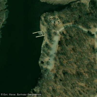
Water access, boat ramps & amenities
Learn how to get on Kent Lake. Uncover great paddling access points, boat ramps, and all the facilities you need for an unforgettable day on the water. Some locations shown may border or include private property. Always check property boundaries and applicable regulations before visiting. PaddleWays's Public & Private Land layer can help you plan your access with confidence.
Paddle smarter with real-time insights
Whether you're en route and conditions shift or you're looking for the best spot based on current flows, we enable you to make informed decisions on the fly.








Find Places to Paddle

Over 400,000 Places to Paddle
Every user gets free access to launch points, boat ramps, and public property parcels.


Water and weather conditions (10 day forecast)
See the best times to paddle Kent Lake and check the forecast before you go.
No forecast data available.
Paddling near Kent Lake
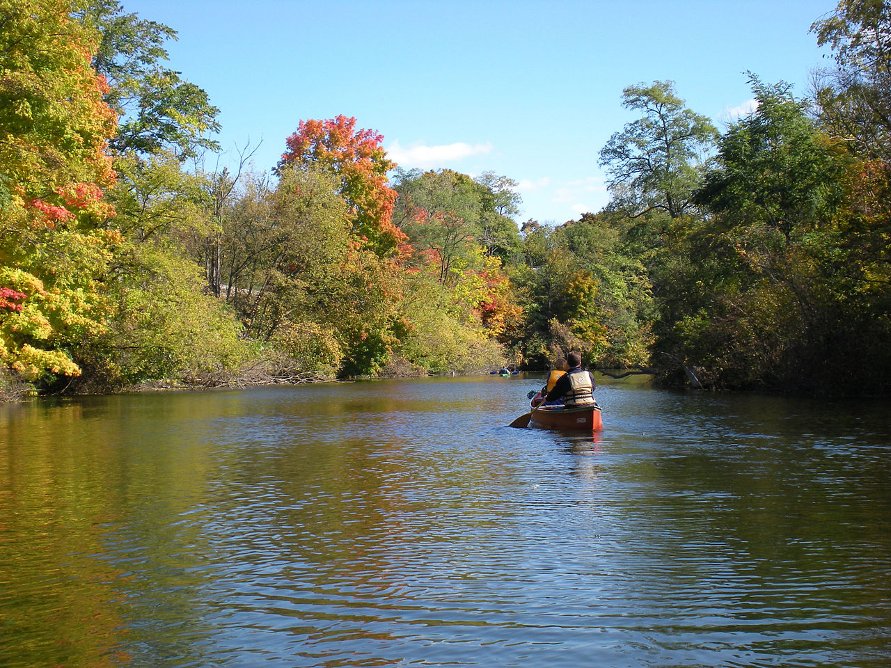
Huron River
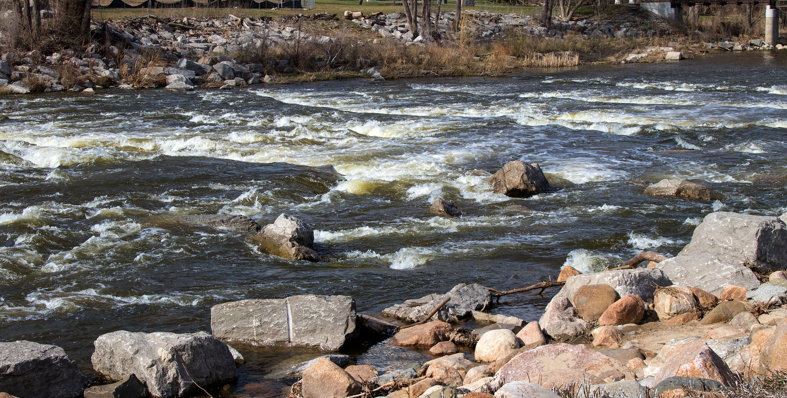
Shiawassee River

Lake Erie
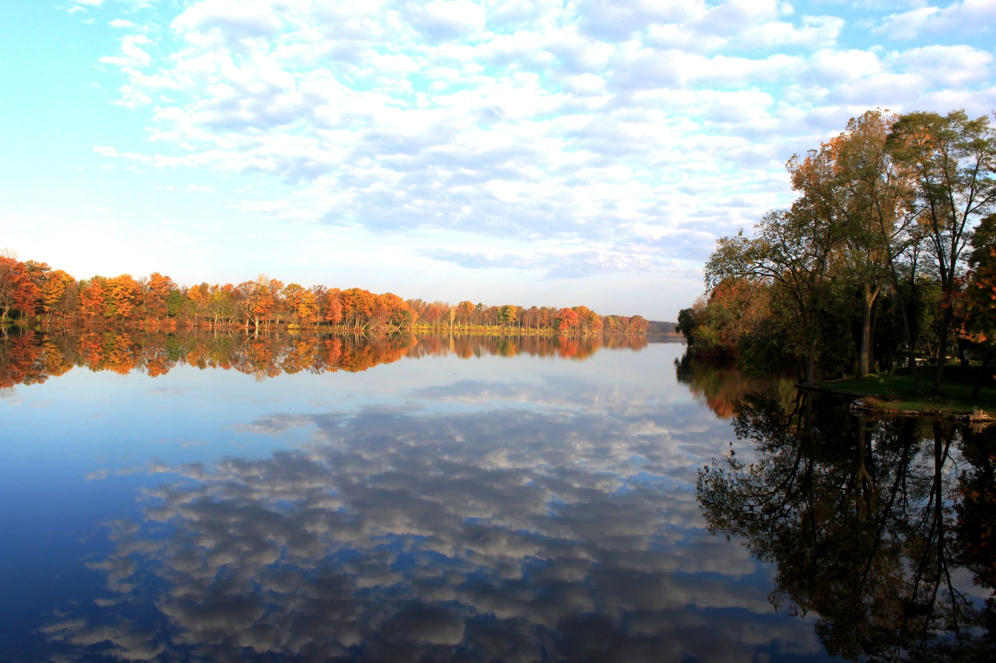
River Raisin
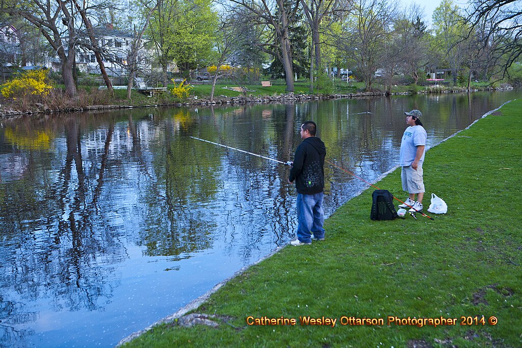
Grand River
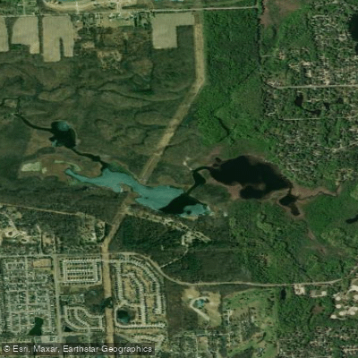
Proud Lake
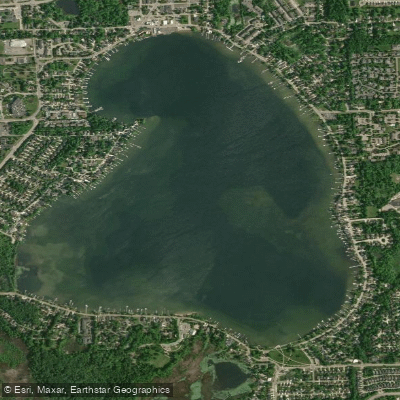
Walled Lake
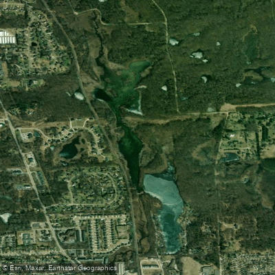
Moore Lake
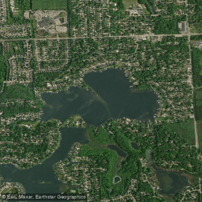
North Commerce Lake
Explore Michigan waters
Top paddling waters
Popular Cities
Loading popular cities...
Explore near Kent Lake
Access points
Nearby waters
More in Michigan

Smarter Paddling Starts in the App.
Paddleways gives you everything you need to plan smarter, paddle better, and own every trip from first launch to takeout.