Lake Gratiot
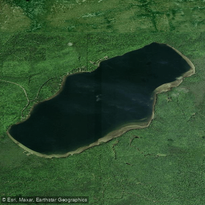
Lake Gratiot
- Boat Ramps
- 2
- Access Points
- 2
- Campsites
- 0
Lake Gratiot is the largest inland lake in Keweenaw County, Michigan, covering 1,438 acres with a maximum depth of 70 feet. The lake boasts some of the wildest shorelines in the Keweenaw, with nearly three miles protected by the Gratiot Lake Conservancy. A DNR boat launch on the northern side provides the primary access point for paddlers. The lake's size, comparable to Otter Lake, means paddlers should be prepared for potentially choppy conditions, especially on windy days.
Wildlife viewing is a highlight, with paddlers likely to encounter various species throughout their journey. The Noblet Field Station, managed by the conservancy, offers educational programs during summer months that may be of interest to paddlers wanting to learn more about the lake's ecosystem.
For a unique perspective, paddlers can hike to the Gratiot Lake Overlook before their trip to scout potential routes. The lake is known for its fishing opportunities, with large northern pike, perch, tiger muskie, and walleye attracting anglers.
When planning a paddling trip on Lake Gratiot, it's essential to bring sunscreen, as summer sun can be intense and long-lasting in this northern location. A life jacket is required safety equipment. Paddlers should also pack water, snacks, and consider bringing a GPS for navigation on this large lake. To prevent the spread of invasive species, thoroughly wash any watercraft brought from other areas before launching.
The lake's location south of US-41 at Central on Gratiot Lake Road makes it accessible yet removed from major tourist areas, offering a more secluded paddling experience compared to some other Keweenaw lakes.
Water access, boat ramps & amenities
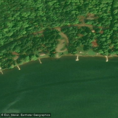
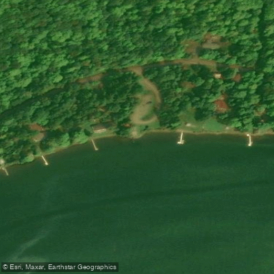
Learn how to get on Lake Gratiot. Uncover great paddling access points, boat ramps, and all the facilities you need for an unforgettable day on the water. Some locations shown may border or include private property. Always check property boundaries and applicable regulations before visiting. PaddleWays's Public & Private Land layer can help you plan your access with confidence.
Paddle smarter with real-time insights
Whether you're en route and conditions shift or you're looking for the best spot based on current flows, we enable you to make informed decisions on the fly.








Find Places to Paddle

Over 400,000 Places to Paddle
Every user gets free access to launch points, boat ramps, and public property parcels.


Water and weather conditions (10 day forecast)
See the best times to paddle Lake Gratiot and check the forecast before you go.
No forecast data available.
Paddling near Lake Gratiot

Lake Superior
Garden Brook
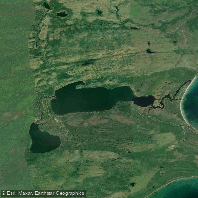
Lac La Belle
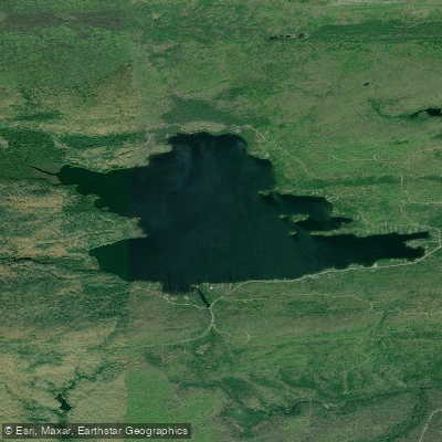
Lake Medora
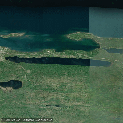
Lake Fanny Hooe
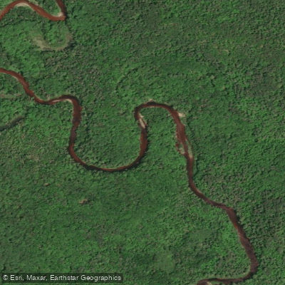
Sturgeon River
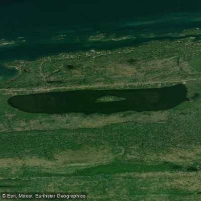
Lake Bailey
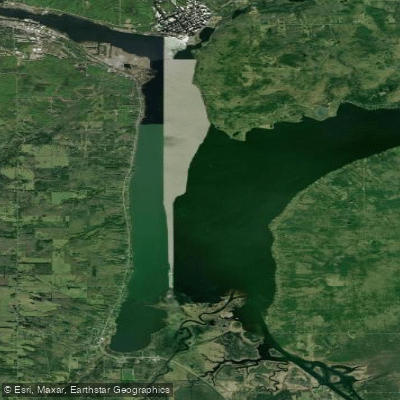
Portage Lake
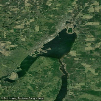
Torch Lake
Explore Michigan waters
Top paddling waters
Popular Cities
Loading popular cities...
Explore near Lake Gratiot

Smarter Paddling Starts in the App.
Paddleways gives you everything you need to plan smarter, paddle better, and own every trip from first launch to takeout.