Lake Medora
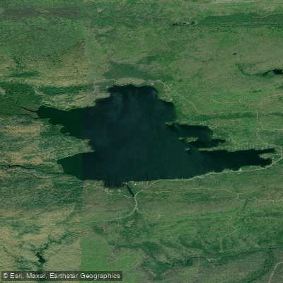
Lake Medora
- Boat Ramps
- 1
- Access Points
- 1
- Campsites
- 1
Lake Medora is a 695-acre inland lake located in Keweenaw County, Michigan, about 4 miles south of Copper Harbor along US-41. The lake has a maximum depth of 30 feet and features several small, picturesque islands scattered throughout, giving it a unique character compared to other lakes in the area.
A public boat launch and parking area are available along US-41, providing easy access for paddlers. The lake is well-suited for canoes, kayaks, and stand-up paddleboards. Its clear, calm waters make it an excellent option for paddling, especially for those seeking a more sheltered experience than Lake Superior offers.
The shoreline has a mix of public and private land. While several islands are open to the public, paddlers should respect private property along much of the shoreline. The lake's varied topography, including many lobes and the distant Rocky Ridge, creates diverse and ever-changing views as you paddle.
Wildlife viewing opportunities abound, with bald eagles frequently spotted circling overhead. The lake is particularly scenic at sunrise and sunset. Fishing is popular here, with walleye, smallmouth bass, and perch being common catches.
Water clarity in Lake Medora can vary from 7 to 20 feet, with a light brown color. The clarity may fluctuate due to the lake's shallowness and wind-induced sediment stirring. Aquatic vegetation is sparse, but crayfish are abundant. The lake has a good presence of natural shoreline riparian forest and downed trees in shoal areas.
When planning a paddling trip, be aware that Lake Medora's proximity to Lake Superior influences its climate, keeping it cooler than lakes further inland. The lake typically warms up faster than Lake Superior in the summer months, making it a more comfortable paddling destination.
For those interested in camping, three of the four islands on the lake offer camping opportunities, though the northernmost island is private property and off-limits. The central island is the best for camping, with a large clearing and fire pit that can accommodate multiple tents.
Water access, boat ramps & amenities
Learn how to get on Lake Medora. Uncover great paddling access points, boat ramps, and all the facilities you need for an unforgettable day on the water. Some locations shown may border or include private property. Always check property boundaries and applicable regulations before visiting. PaddleWays's Public & Private Land layer can help you plan your access with confidence.
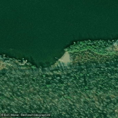
Paddle smarter with real-time insights
Whether you're en route and conditions shift or you're looking for the best spot based on current flows, we enable you to make informed decisions on the fly.








Find Places to Paddle

Over 400,000 Places to Paddle
Every user gets free access to launch points, boat ramps, and public property parcels.


Water and weather conditions (10 day forecast)
See the best times to paddle Lake Medora and check the forecast before you go.
No forecast data available.
Paddling near Lake Medora

Lake Superior
Garden Brook
Lac La Belle
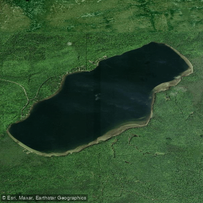
Lake Gratiot
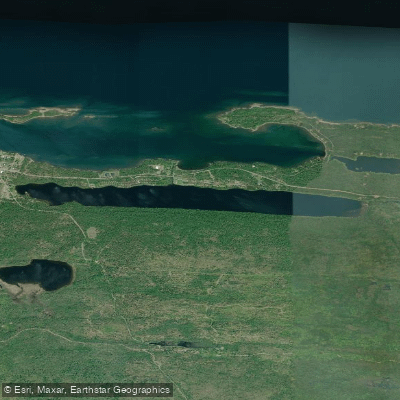
Lake Fanny Hooe
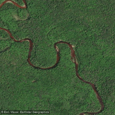
Sturgeon River
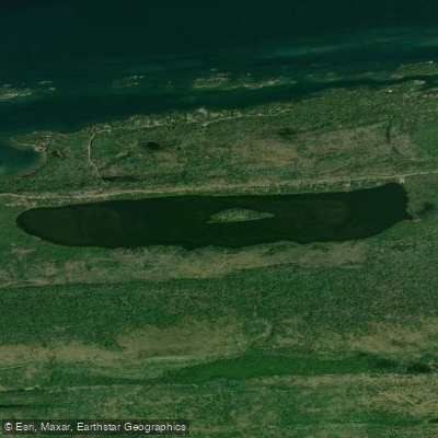
Lake Bailey
Portage Lake
Torch Lake
Explore Michigan waters
Top paddling waters
Popular Cities
Loading popular cities...
Explore near Lake Medora
Access points
Nearby waters
More in Michigan

Smarter Paddling Starts in the App.
Paddleways gives you everything you need to plan smarter, paddle better, and own every trip from first launch to takeout.