Sturgeon River
Sturgeon River
- Boat Ramps
- 2
- Access Points
- 4
- Campsites
- 6
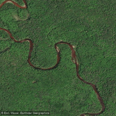
The Sturgeon River in Baraga and Houghton Counties flows through some of Michigan's most rugged terrain, carving a dramatic gorge through the Ottawa National Forest before emptying into Portage Lake near Chassell. This spring-fed river descends approximately 800 feet over its course through these counties, creating a dynamic waterway that ranges from technical whitewater to gentle flatwater sections. The river's centerpiece is the Sturgeon River Gorge Wilderness Area, a 14,729-acre federally designated wilderness protecting old-growth forests and steep valleys where the river drops through volcanic rock formations.
Paddling opportunities vary dramatically along the river's length. The upper sections from US Highway 41 to Upper Falls present Class IV-V whitewater suitable only for expert paddlers, featuring a 20-foot waterfall and narrow canyon passages. From Baraga Plains Road to Prickett Dam, the river offers Class I-IV conditions with the Sturgeon Gorge section (USFS Campground to Prickett Backwaters) providing Class II-III rapids punctuated by dangerous falls requiring portage. Below Prickett Dam to Highway M-38, the river mellows to a Class II steelhead and brown trout fishery. The final stretch from M-38 to Chassell becomes predominantly Class I flatwater, winding through wetlands and sloughs before reaching Portage Lake.
The river flows best during spring runoff, typically from late April through early June, when water levels support passage through technical sections. Summer flows can become insufficient in upper reaches, though the lower sections remain navigable year-round. Fall brings another paddling window following seasonal rains, along with spectacular color in the hardwood forests lining the banks.
The Sturgeon River corridor supports diverse wildlife including beaver, otter, black bear, moose, and white-tailed deer. Bald eagles nest along the gorge, and the river sustains populations of brook trout, brown trout, and steelhead. Vegetation transitions from northern hardwoods and hemlock in the gorge to tag alder, black spruce, and marsh grasses in the lower wetlands.
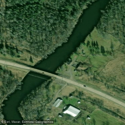
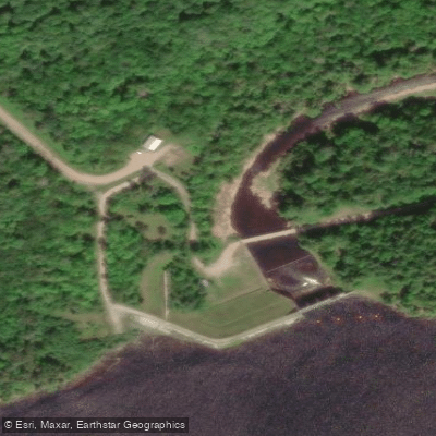
Key landmarks include Sturgeon Falls within the gorge, Prickett Dam (a hydroelectric facility creating significant backwaters), and Silver Mountain overlook providing panoramic views of the river valley. Access points include USFS Road 191 near the gorge, Prickett Dam Road, the M-38 bridge, Froberg Road, and the Chassell boat landing. The river's designation as both a Wild and Scenic River and its protection within wilderness boundaries reflect its ecological significance. Indigenous peoples mined copper in this region for millennia, and the river later supported logging operations in the late 1800s.
Daily flow fluctuations below Prickett Dam due to hydroelectric operations require paddlers to check conditions before launching. The remote gorge section demands self-sufficiency, strong navigation skills, and wilderness preparedness. Motorized watercraft are prohibited within wilderness boundaries.
Water access, boat ramps & amenities
Learn how to get on Sturgeon River. Uncover great paddling access points, boat ramps, and all the facilities you need for an unforgettable day on the water. Some locations shown may border or include private property. Always check property boundaries and applicable regulations before visiting. PaddleWays's Public & Private Land layer can help you plan your access with confidence.
Paddle smarter with real-time insights
Whether you're en route and conditions shift or you're looking for the best spot based on current flows, we enable you to make informed decisions on the fly.








Find Places to Paddle

Over 400,000 Places to Paddle
Every user gets free access to launch points, boat ramps, and public property parcels.


Water and weather conditions (10 day forecast)
See the best times to paddle Sturgeon River and check the forecast before you go.
STURGEON RIVER NEAR SIDNAW, MI
All Flow Stations
Paddling near Sturgeon River

Lake Superior
Portage Lake
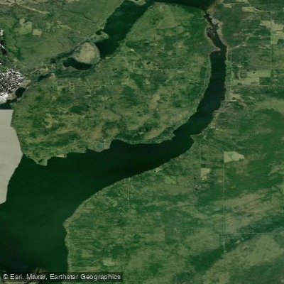
Torch Bay
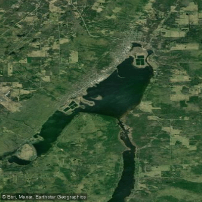
Torch Lake
Misery River
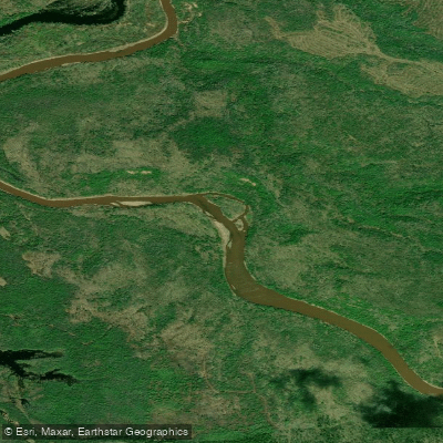
Ontonagon River
Silver River
Middle Branch Ontonagon River
Firesteel River
Explore Michigan waters
Top paddling waters
Popular Cities
Loading popular cities...
Explore near Sturgeon River
Access points
Nearby waters
More in Michigan

Smarter Paddling Starts in the App.
Paddleways gives you everything you need to plan smarter, paddle better, and own every trip from first launch to takeout.