Lower Trout Lake
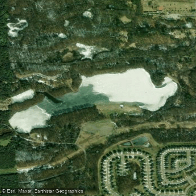
Lower Trout Lake
- Boat Ramps
- 2
- Access Points
- 2
- Campsites
- 0
Lower Trout Lake is a 65-acre body of water located within Bald Mountain State Recreation Area, situated about 36 miles north of Detroit near Auburn Hills. The lake rarely drops more than 10 feet deep, resulting in extensive weed growth throughout that helps limit boat traffic and create a more peaceful paddling environment.
The lake features a public beach on its south shore and benefits from an undeveloped shoreline free of residential areas. A boat launch and parking area provide access for paddlers. The lake was historically part of a unique recreational complex designed by architect Gunnar Birkerts in the 1960s, which included Mid-Century Modern facilities like bathhouses and a concession stand built around the beach area.
The shallow, weedy waters make Lower Trout Lake particularly appealing for wildlife viewing and fishing. Anglers report catching trophy bass, and small bluegill are abundant throughout the lake. While the lake can get busy with kayakers, particularly during summer months, it generally maintains a relaxed atmosphere compared to neighboring lakes due to the limited motorized boat traffic.
The lake is part of the 4,637-acre Bald Mountain State Recreation Area, which offers additional amenities including hiking trails, picnic areas, and other recreational facilities. The surrounding natural area consists of some of the most rugged terrain in southeastern Michigan, providing scenic forested views from the water.
While not as remote as some northern Michigan paddling destinations, Lower Trout Lake offers a reliable option for paddlers seeking a peaceful experience within the metro Detroit region. The combination of restricted boat traffic, undeveloped shoreline, and accessible location make it particularly suitable for newer paddlers or those looking for shorter excursions.
Water access, boat ramps & amenities
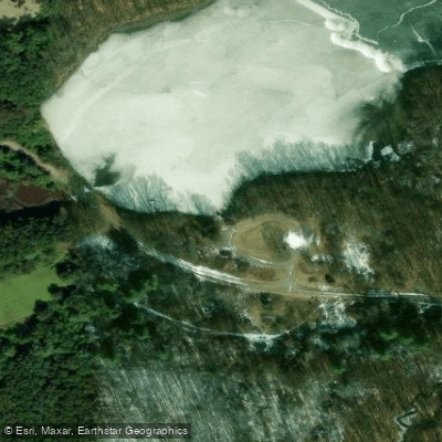
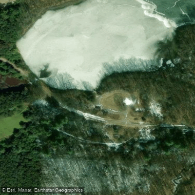
Learn how to get on Lower Trout Lake. Uncover great paddling access points, boat ramps, and all the facilities you need for an unforgettable day on the water. Some locations shown may border or include private property. Always check property boundaries and applicable regulations before visiting. PaddleWays's Public & Private Land layer can help you plan your access with confidence.
Paddle smarter with real-time insights
Whether you're en route and conditions shift or you're looking for the best spot based on current flows, we enable you to make informed decisions on the fly.








Find Places to Paddle

Over 400,000 Places to Paddle
Every user gets free access to launch points, boat ramps, and public property parcels.


Water and weather conditions (10 day forecast)
See the best times to paddle Lower Trout Lake and check the forecast before you go.
No forecast data available.
Paddling near Lower Trout Lake
Shiawassee River
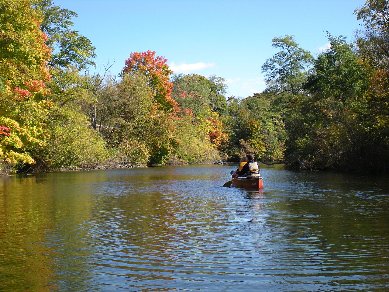
Huron River

Lake Erie
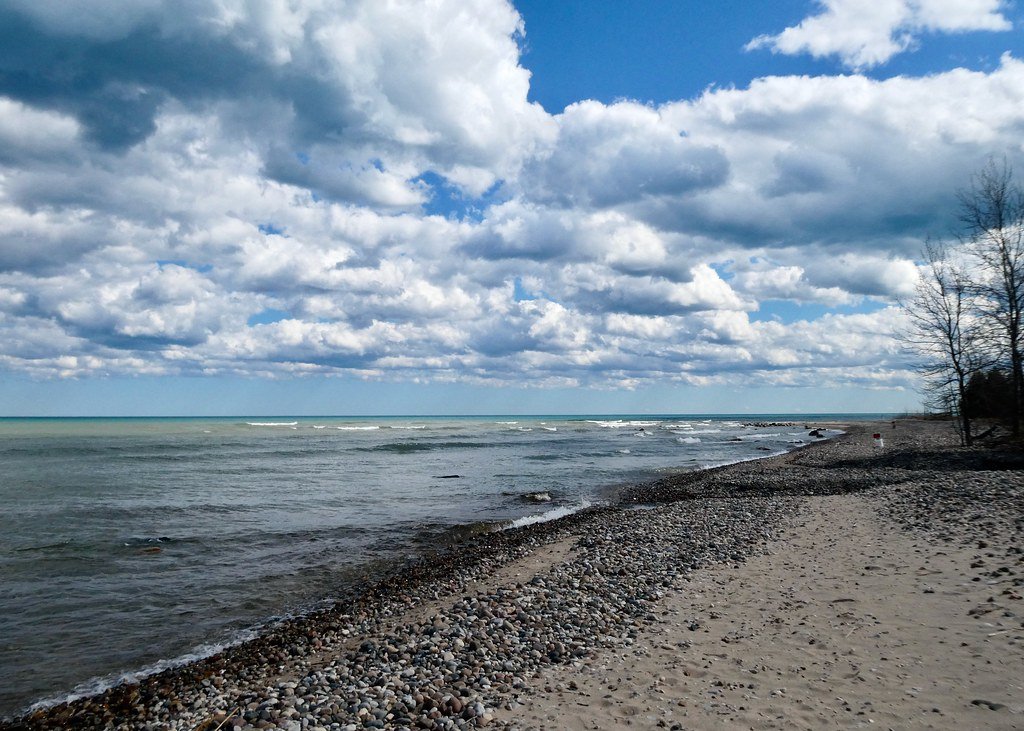
Lake Huron
Clinton River
Proud Lake
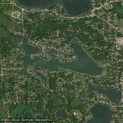
Cedar Island Lake
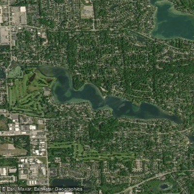
Middle Straits Lake
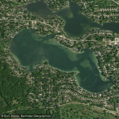
Long Lake
Explore Michigan waters
Top paddling waters
Popular Cities
Loading popular cities...
Explore near Lower Trout Lake
Access points
Nearby waters
More in Michigan

Smarter Paddling Starts in the App.
Paddleways gives you everything you need to plan smarter, paddle better, and own every trip from first launch to takeout.