Muskegon Lake
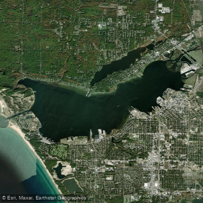
Muskegon Lake
- Boat Ramps
- 7
- Access Points
- 7
- Campsites
- 3
Muskegon Lake in Michigan offers paddlers a serene experience connected to Lake Michigan. The lake spans 4,150 acres and is approximately 5 miles long, providing ample space for exploration. A channel connects Muskegon Lake to Lake Michigan, allowing paddlers to venture between the two bodies of water.
For those seeking calmer conditions, Muskegon Lake's protected waters make it ideal for beginners and paddlers preferring tranquility. The lake features the historic Muskegon South Pierhead Light, offering picturesque views for paddlers. Wildlife enthusiasts can observe native plants, fish, birds, and turtles along the shoreline.
Access points include the Snug Harbor launch on Muskegon Lake, which is developed for easy entry. Paddlers can also put in at Mill Iron Road on the Muskegon River for a 2-hour downstream paddle to Muskegon Lake. This route passes logging era crib remnants and widens as it approaches US 31.
The surrounding area offers additional amenities for paddlers. Muskegon State Park, located near the channel to Lake Michigan, provides camping facilities, hiking trails, and views of large sand dunes. The park features two campgrounds with 247 campsites and mini-cabins.
Summer months are optimal for paddling Muskegon Lake, with warm temperatures and generally calm conditions. However, kayaking and canoeing can continue into fall for those interested in viewing autumn colors along the shoreline.
Paddlers should be aware of potential boat traffic, especially near the channel to Lake Michigan. It's advisable to check weather conditions before venturing out, as the lake can experience changing weather patterns typical of Great Lakes regions.
Water access, boat ramps & amenities
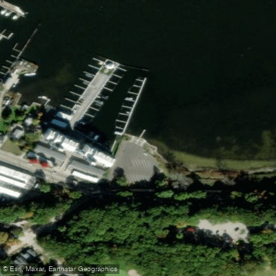
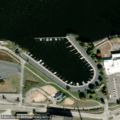
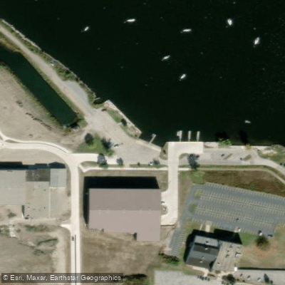
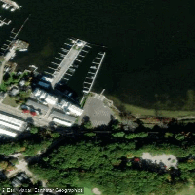
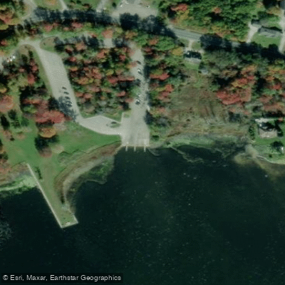
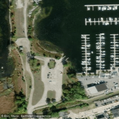
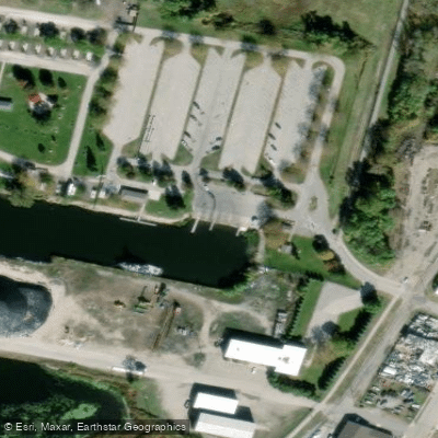
Learn how to get on Muskegon Lake. Uncover great paddling access points, boat ramps, and all the facilities you need for an unforgettable day on the water. Some locations shown may border or include private property. Always check property boundaries and applicable regulations before visiting. PaddleWays's Public & Private Land layer can help you plan your access with confidence.
Paddle smarter with real-time insights
Whether you're en route and conditions shift or you're looking for the best spot based on current flows, we enable you to make informed decisions on the fly.








Find Places to Paddle

Over 400,000 Places to Paddle
Every user gets free access to launch points, boat ramps, and public property parcels.


Water and weather conditions (10 day forecast)
See the best times to paddle Muskegon Lake and check the forecast before you go.
No forecast data available.
Paddling near Muskegon Lake

Lake Michigan
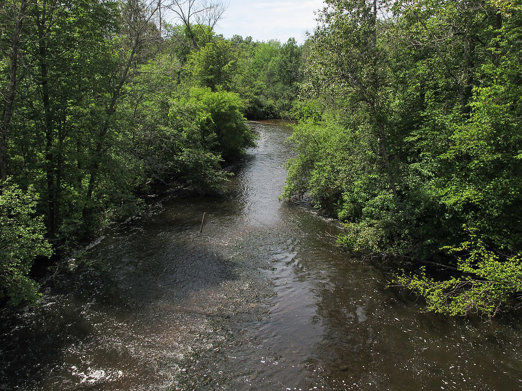
Muskegon River
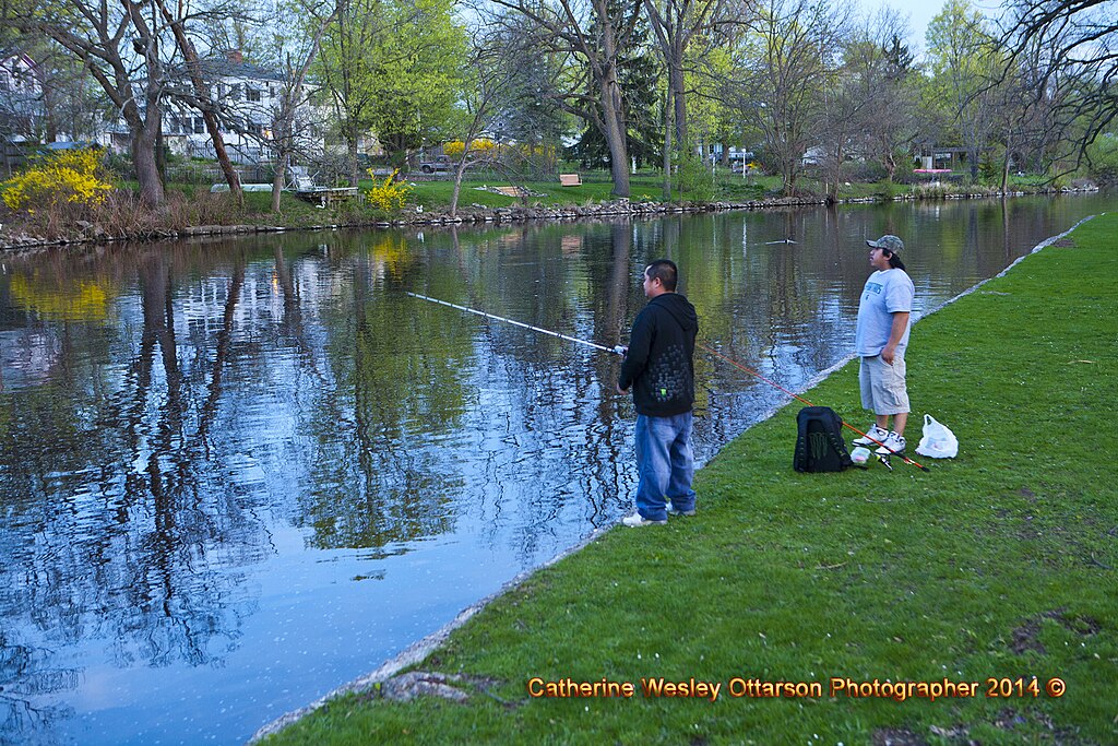
Grand River
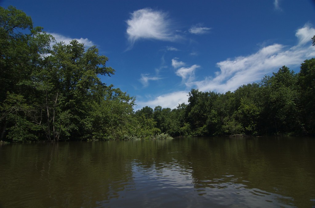
Kalamazoo River
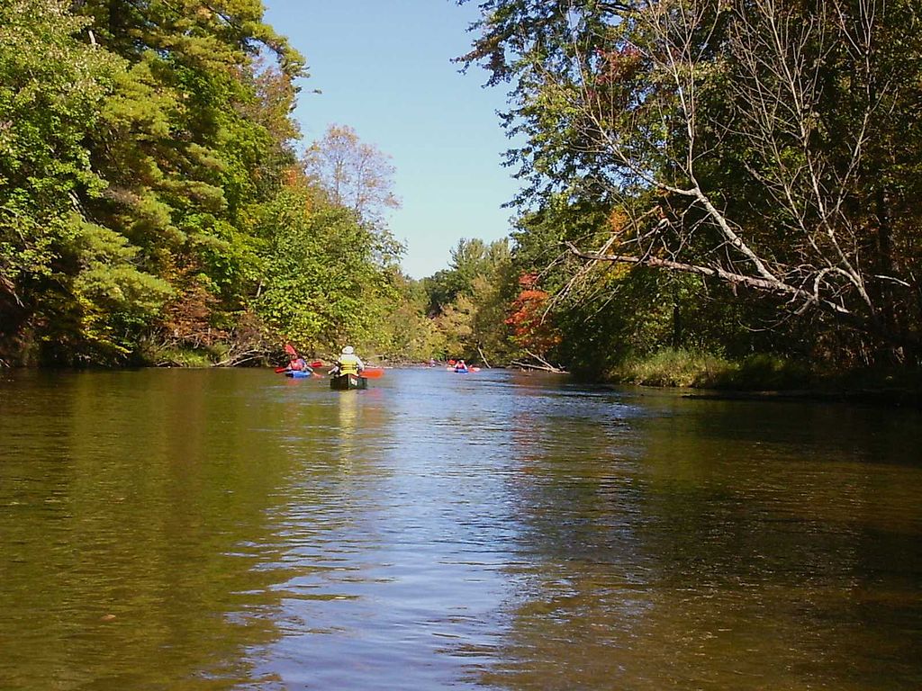
Pere Marquette River
Flat River
Mona Lake
Spring Lake
Twin Lakes
Explore Michigan waters
Top paddling waters
Popular Cities
Loading popular cities...
Explore near Muskegon Lake
Access points
Nearby waters
More in Michigan

Smarter Paddling Starts in the App.
Paddleways gives you everything you need to plan smarter, paddle better, and own every trip from first launch to takeout.