Curated by PaddleWays
RouteClass III–IV
- Distance
- 5.2 mi
- Paddle time
- ~1.5 hrs
- Best for
- Raft
- Put-in → take-out
- Boat Ramp → North White Road Access
Strainers and logjams in technical rapids
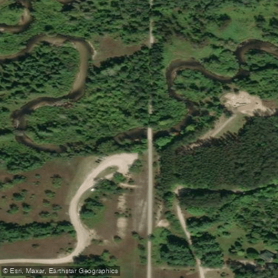
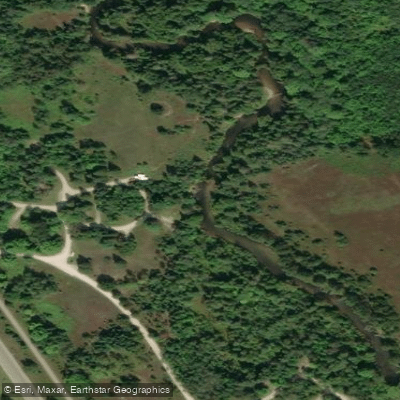
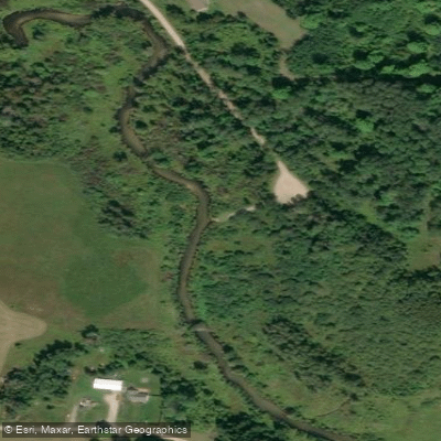
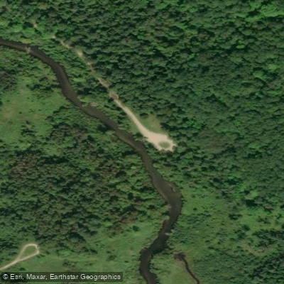
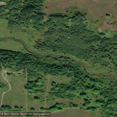
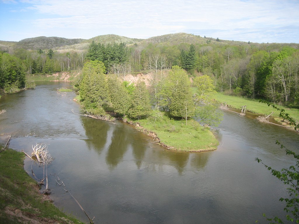
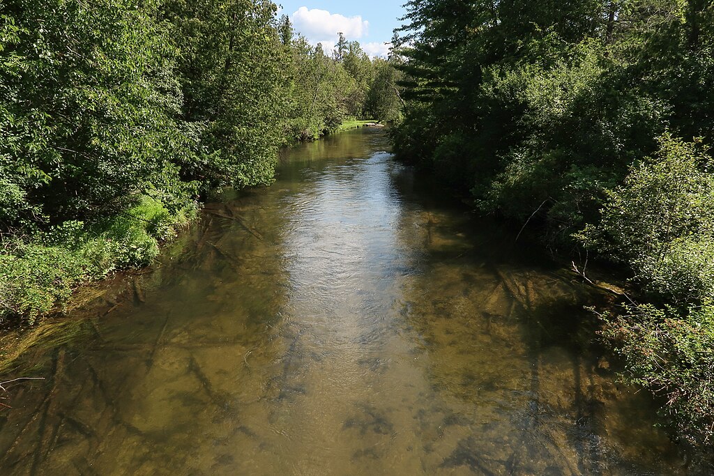
The Sturgeon River flows northward through Otsego and Cheboygan counties in Michigan's Lower Peninsula, originating from headwaters near Gaylord and emptying into Burt Lake at Indian River. With an average descent of 14-15 feet per mile, it ranks as the fastest-flowing river in Michigan's Lower Peninsula, creating a distinctive paddling experience characterized by swift currents, tight turns, and technical maneuvering through forested corridors.
The river spans approximately 24.5 miles from its convergence point near Wolverine (where East and West Branches meet) to its mouth at Burt Lake. The West Branch originates from Huffman Lake and Thumb Lake in eastern Charlevoix County, while the East Branch has headwaters in hills near Gaylord. Both branches flow through largely undeveloped forests before merging in southern Cheboygan County.
Paddling opportunities range from intermediate to advanced levels, with the most popular sections between Wolverine and Indian River. The stretch from Wolverine Town Park to Haakwood State Forest Campground features Class II rapids with 1-3 foot drops, while the section from Haakwood to Burt Lake presents very fast currents with numerous obstacles and overhanging trees. The river from Trowbridge Road to Wolverine offers slightly gentler conditions suitable for intermediate paddlers. Trip durations vary from 1.5 hours for shorter segments to 5+ hours for the full descent to Burt Lake.
The Sturgeon maintains cold, spring-fed waters averaging 3-4 feet deep with pools reaching 5-8 feet. Its crystal-clear flow supports a designated Blue Ribbon trout fishery, hosting brown trout, rainbow trout, and brook trout populations.
The river corridor passes through extensive Mackinaw State Forest lands, providing habitat for river otters, beavers, white-tailed deer, great blue herons, and bald eagles. Cedar swamps and northern hardwood forests line the banks.
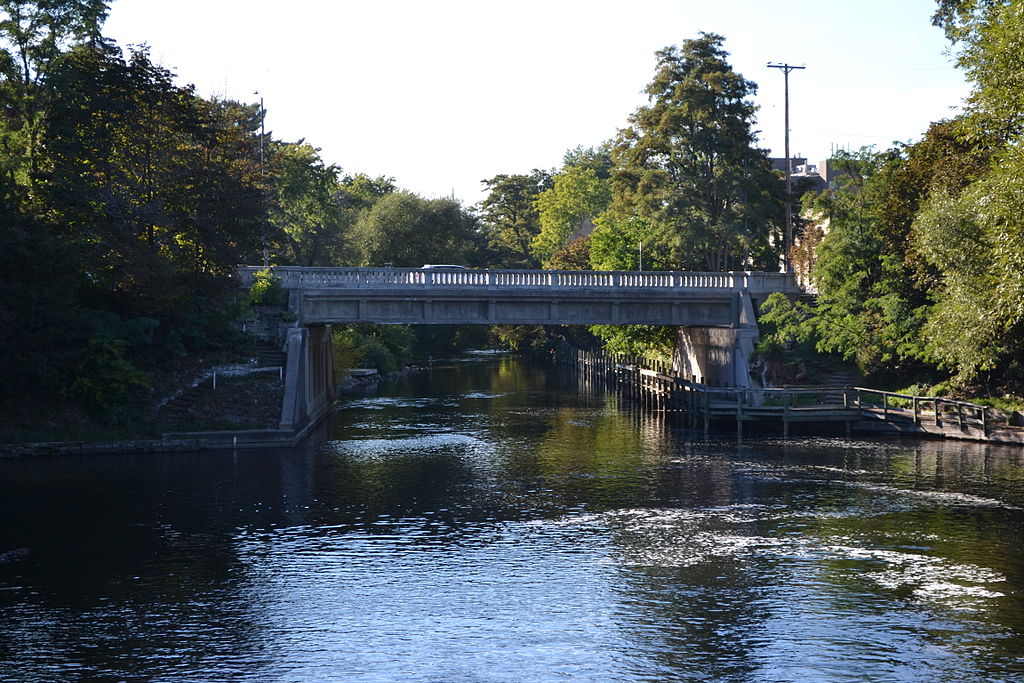
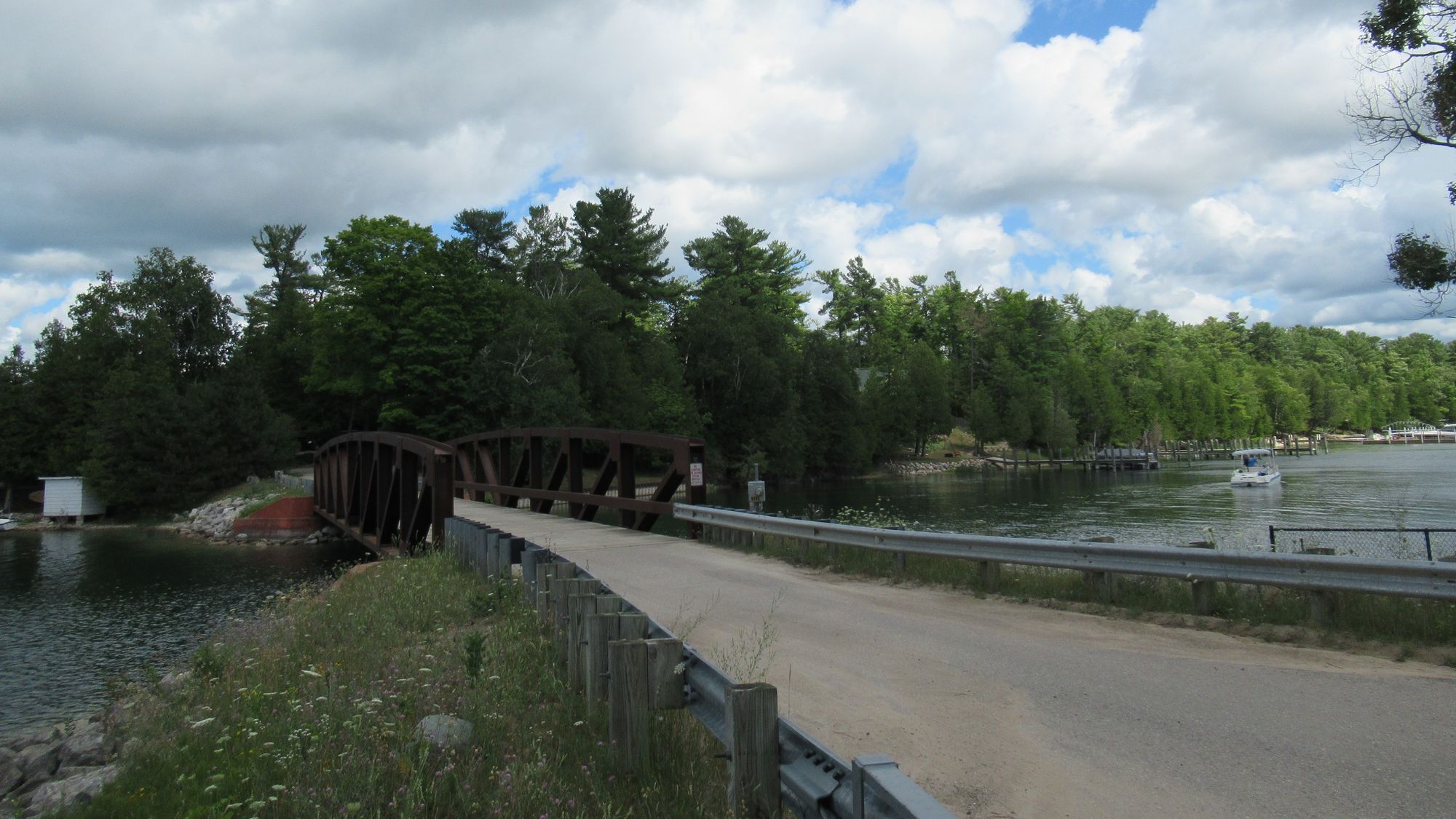
Primary access points include Trowbridge Road Access Site, Wolverine Town Park, Scott Road Access Site, Rondo Road, Haakwood State Forest Campground, and Fisher Woods Road in Indian River. Burt Lake State Park serves as the final takeout. The North Central State Trail parallels the river, facilitating vehicle shuttles.
The river's name reflects historical lake sturgeon populations, with ongoing restoration efforts by the Little Traverse Bay Bands of Odawa Indians reintroducing this threatened species to Burt Lake. Native Americans historically used this waterway as part of the Inland Waterway system connecting Lake Michigan to Lake Huron.
Safety considerations include the river's relentless current, frequent overhanging trees, sharp turns, and cold water temperatures. Swimmers should wear appropriate footwear and expect to get wet. The tip-over rate for kayakers exceeds 80% on longer sections. A Michigan Recreation Passport is required for state forest access sites. Spring and fall offer optimal conditions, though summer remains popular despite increased recreational traffic.
Curated routes
Hand-picked by the PaddleWays team, with put-ins, take-outs, paddle times and the hazards along the way.
RouteClass III–IV
RouteClass II–III
RouteClass II–III
RouteClass I–II
Hazards
No hazards are marked on Sturgeon River yet. That is not the same as none being there: if you find one, report it for the next paddler.
From the community
Nobody has shared a trip on Sturgeon River yet. Paddle it, then tell the next paddler how it went.
See exactly where the public can get on and off the river. Launch points and boat ramps are paired with PaddleWays' public land data so you know where you can legally land.
Public shoreline
18%of the river's shoreline is public
Most of the riverbank is private. Launch, land and camp only at public access points.
Flows, weather and a route-by-route verdict, so you know which stretch of the Sturgeon River is worth paddling today.
Live flows, marked hazards and fresh trip reports from paddlers who were just on the water, all in one place.





Every user gets free access to launch points, boat ramps, and public property parcels.

Loading popular cities...
PaddleWays gives you everything you need to plan smarter, paddle better, and own every trip from first launch to takeout.