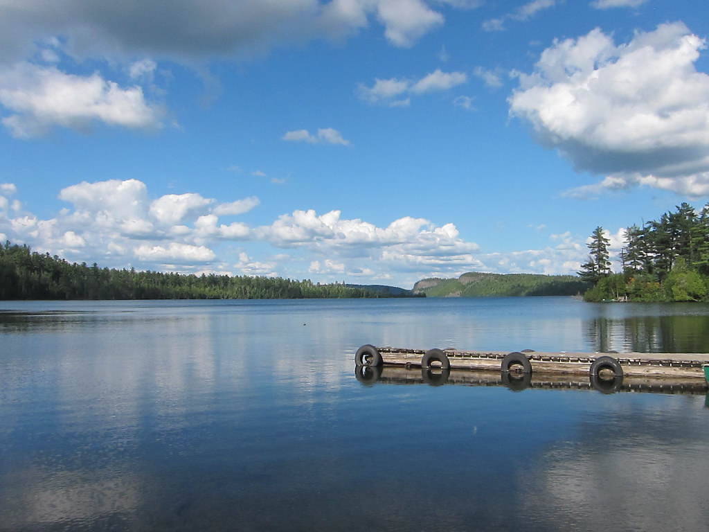
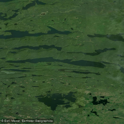
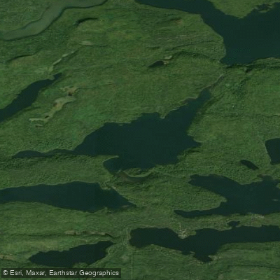
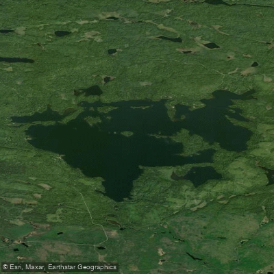
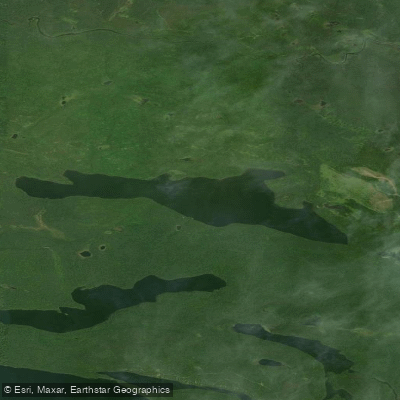
Clearwater Lake in Cook County, Minnesota, located approximately 33 miles north of Grand Marais along the Gunflint Trail, offers paddlers crystal-clear waters and some of the most dramatic scenery in the Boundary Waters region. This 1,344-acre lake reaches depths of approximately 130 feet and is partially within the Boundary Waters Canoe Area Wilderness (BWCAW), serving as Entry Point #62.
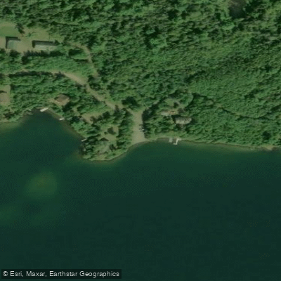
**Access and Permits** The primary public access is located at the end of Clearwater Road (Cook County Road 66), featuring a dirt trailer launch with limited parking on the northwest shore. Day paddlers can self-issue free permits at the entry point kiosk, while overnight visitors require advance BWCAW permits. Motors up to 10 horsepower are permitted on Clearwater Lake only.
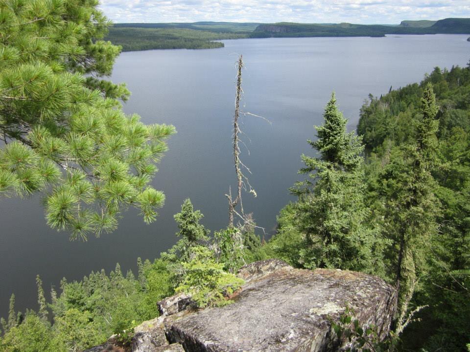
**Scenery and Character** The lake's defining feature is the spectacular Clearwater Palisades—towering rocky bluffs rising over 300-400 feet above the water on the eastern shore. The exceptional water clarity allows paddlers to see deep into the lake. Seven designated BWCAW campsites dot the shoreline, with campsite #5 particularly popular for its stunning views and cliff-jumping opportunities.
**Paddling Routes** For a short paddle (approximately 3 hours round trip), head east from the public access to the palisades. A primitive trail leads to breathtaking overlook views. Adventurous paddlers can portage to connected lakes including Caribou Lake, West Pike Lake, and Mountain Lake, accessing various loops and the Clearwater Main Route. The lake also provides access to Johnson Falls via Caribou and Little Caribou Lakes.
**Considerations** Wind can create choppy conditions on this larger lake, particularly near exposed areas. The lake supports populations of lake trout, rainbow trout, brown trout, smallmouth bass, walleye, and yellow perch. Wildlife viewing opportunities include moose in nearby wetlands. Several route options connect to the Border Route Trail for combined paddling-hiking adventures.