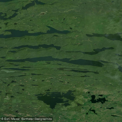
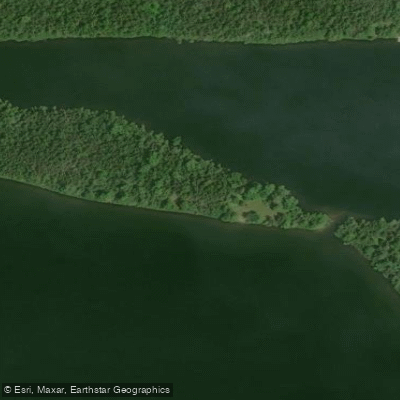
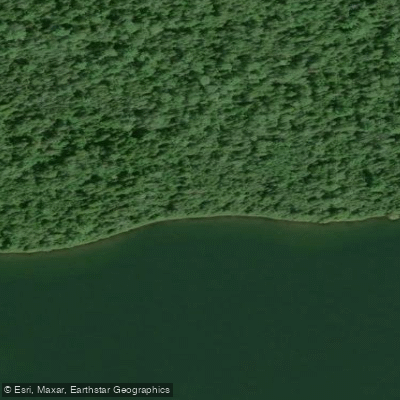
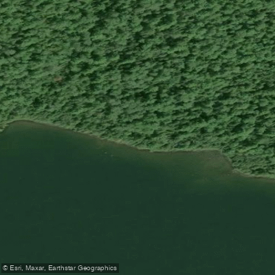
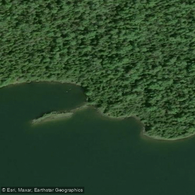
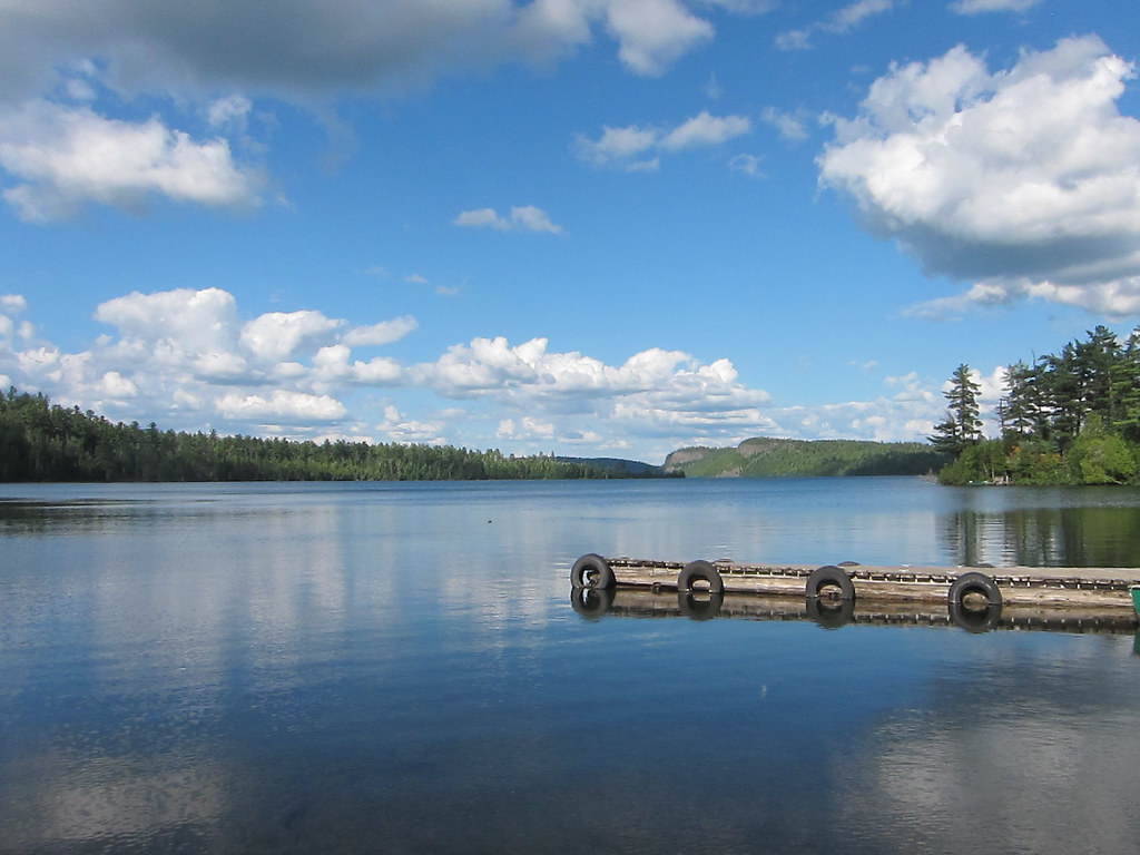
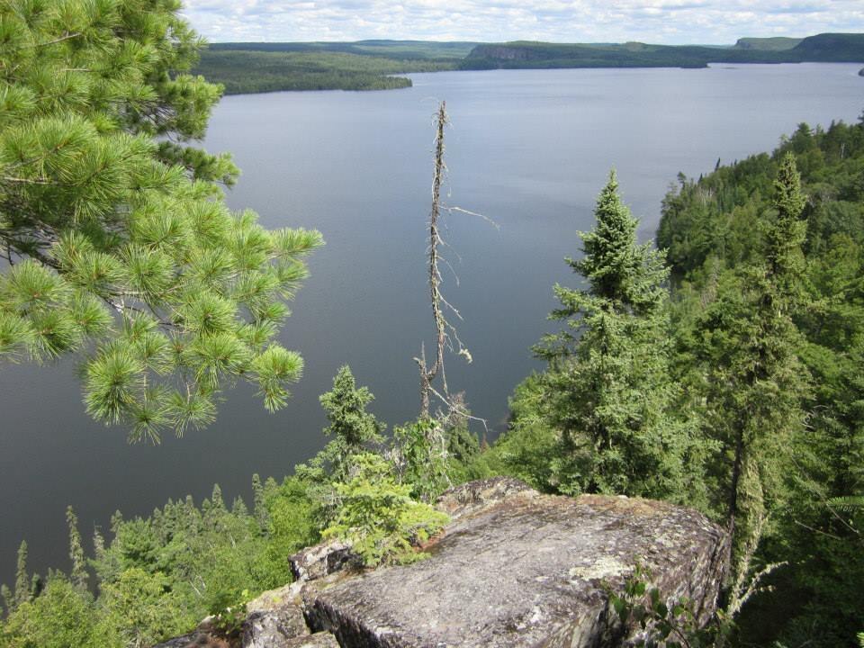
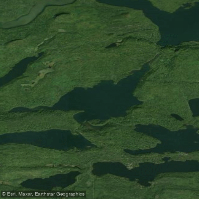
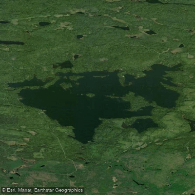
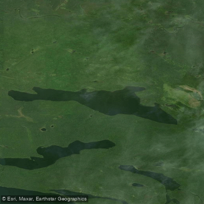
Pine Lake is a 2,122-acre lake in Cook County, Minnesota, located within the Boundary Waters Canoe Area Wilderness (BWCAW). This large, deep, clear-water lake offers a wilderness paddling experience with maximum depths of 113 feet and approximately 18 feet of water clarity. The lake features roughly 11 campsites, most located along the northern shoreline.
**Access:** The primary access is via BWCAW Entry Point #68 from McFarland Lake Campground on the Arrowhead Trail. Paddlers must travel approximately 2.5 miles across McFarland Lake to reach Pine through a liftover portage or short 2-rod carry at the narrows (water level dependent). A BWCAW permit is required. Alternative access exists from the south via Forest Road 1365, though this involves a longer 221-rod portage.
**Character:** At 7.5 miles long oriented east-west, Pine Lake presents significant open water where wind can create challenging conditions, particularly when strong westerly winds generate large waves. The lake's Canadian Shield character includes rocky shorelines, forested banks, and clear water. Paddlers should exercise caution during windy conditions or when water is cold.
**Hazards:** The lake's size and exposure make it susceptible to dangerous wave conditions in high winds. Paddlers have reported taking on water in choppy conditions, and capsizes are possible. The invasive spiny waterflea is present in the lake.
**Highlights:** The west end features a creek with a hiking trail leading to Johnson Falls, a must-see destination. The lake is part of multiple loop routes connecting to Caribou, Clearwater, and Pike lakes. Despite its BWCAW location, Pine sees moderate use due to relatively easy access. Wildlife includes beavers, moose, and bald eagles, with excellent fishing for walleye, smallmouth bass, and lake trout.