Greenwood Lake
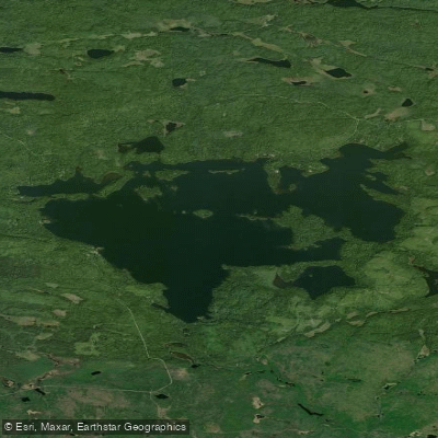
Greenwood Lake
- Boat Ramps
- 1
- Access Points
- 1
- Campsites
- 31
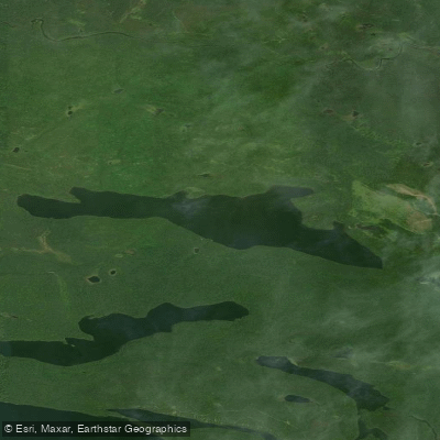
Greenwood Lake is a 2,042-acre deep, oligotrophic lake located in Cook County, Minnesota, within Superior National Forest just south of the Boundary Waters Canoe Area Wilderness. Situated 19 miles northeast of Grand Marais along the Gunflint Trail (County Road 12), this classic Canadian Shield lake offers paddlers a remote wilderness experience with excellent access and diverse paddling opportunities.
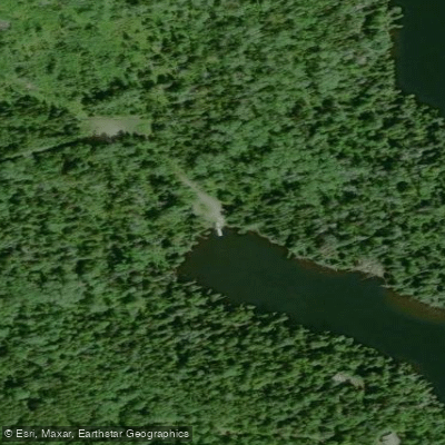
**Access and Facilities** The lake features a concrete boat ramp with a dock and restroom facilities at the public access, with parking for approximately six vehicles with trailers. The access is reached by traveling 16 miles northeast on the Gunflint Trail from Grand Marais, then turning right onto Forest Road 309 (Greenwood Lake Road) for 8 miles, followed by a final 0.3-mile turn to the landing. Several primitive Forest Service campgrounds are located on islands within the lake.
**Character and Paddling Environment** With 23 miles of shoreline, maximum depths reaching 112 feet, and exceptional water clarity averaging nearly 16 feet, Greenwood Lake provides a true wilderness paddling experience. The lake features multiple deep rocky basins and numerous rocky shoals that require careful navigation. Despite its size, development is minimal with only about 55 homesites around the shoreline, maintaining a remote, pristine atmosphere. The relatively undeveloped watershed consists primarily of forest and wetlands.
**Wildlife and Scenery** Paddlers can expect to see moose, bald eagles, loons, and various waterfowl. The clear waters support a diverse fish community including self-sustaining populations of lake trout, cisco, smallmouth bass, northern pike, and brook trout. The surrounding Canadian Shield landscape features rocky outcrops, dense coniferous forests, and scenic island campsites perfect for wilderness camping and extended paddling adventures.
Water access, boat ramps & amenities
Learn how to get on Greenwood Lake. Uncover great paddling access points, boat ramps, and all the facilities you need for an unforgettable day on the water. Some locations shown may border or include private property. Always check property boundaries and applicable regulations before visiting. PaddleWays's Public & Private Land layer can help you plan your access with confidence.
Paddle smarter with real-time insights
Whether you're en route and conditions shift or you're looking for the best spot based on current flows, we enable you to make informed decisions on the fly.








Find Places to Paddle

Over 400,000 Places to Paddle
Every user gets free access to launch points, boat ramps, and public property parcels.


Water and weather conditions (10 day forecast)
See the best times to paddle Greenwood Lake and check the forecast before you go.
No forecast data available.
Paddling near Greenwood Lake

Lake Superior
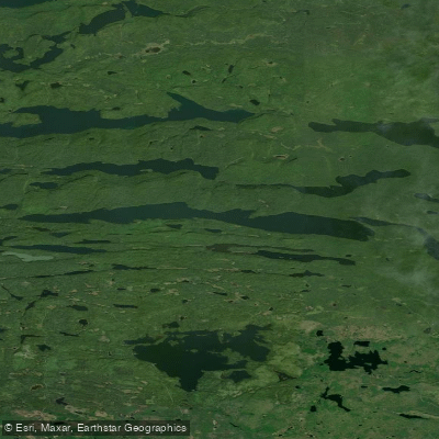
Pine Lake
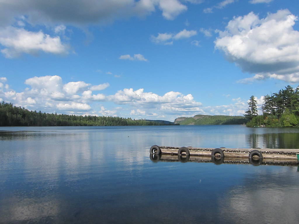
Clearwater Lake
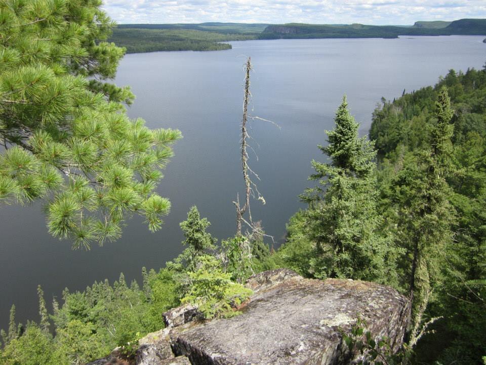
Rose Lake
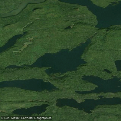
Duncan Lake
Lenore Lake
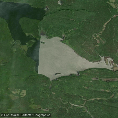
South Fowl Lake
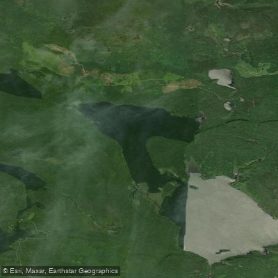
North Fowl Lake
Moose Lake
Explore Minnesota waters
Top paddling waters
Popular Cities
Loading popular cities...
Explore near Greenwood Lake
Access points
Nearby waters
More in Minnesota

Smarter Paddling Starts in the App.
Paddleways gives you everything you need to plan smarter, paddle better, and own every trip from first launch to takeout.