South Fowl Lake
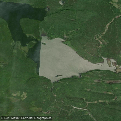
South Fowl Lake
- Boat Ramps
- 0
- Access Points
- 0
- Campsites
- 15
South Fowl Lake is a remote lake located along the US-Canadian border in northeastern Minnesota. It serves as an entry point (#70) into the Boundary Waters Canoe Area Wilderness (BWCAW). Paddlers access the lake via the Arrowhead Trail, starting their journey on North Fowl Lake before entering South Fowl. The lake is relatively shallow, with a maximum depth of only 10 feet, making it an excellent habitat for walleye, northern pike, and perch.
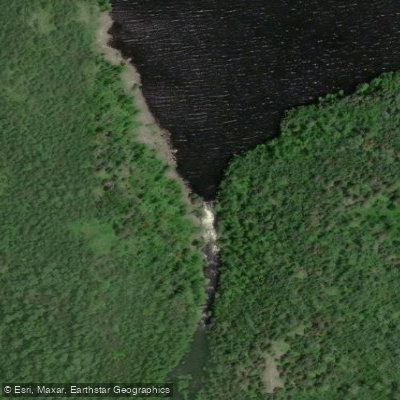
The route to South Fowl Lake involves paddling through the Royal River system, which includes challenging portages and shallow waterways. Paddlers should be prepared for a 78-rod portage from Royal Lake to John Lake, followed by a steep 200-rod portage into East Pike Lake. The area is known for its stunning scenery, including towering 450-foot bluffs along Royal Lake.
Wildlife viewing opportunities abound in this wilderness setting. The surrounding landscape features a mix of forests and rocky shorelines typical of the BWCAW. Paddlers should be aware that portions of the route leading to South Fowl Lake allow motorized boats, particularly in areas outside the BWCAW boundaries.
A permit is required to enter the BWCAW via South Fowl Lake. The entry point has a daily quota of 2 permits for overnight paddle trips. Paddlers must follow Leave No Trace principles and adhere to all BWCAW regulations. This route is considered challenging and is best suited for experienced wilderness paddlers comfortable with remote travel and difficult portages.
For those seeking a longer adventure, South Fowl Lake can be incorporated into an extended Canadian Border Route trip, which follows historical Voyageur waterways. This option allows paddlers to explore additional lakes like Mountain Lake, known for its exceptional depth and towering cliffs.
Water access, boat ramps & amenities
Learn how to get on South Fowl Lake. Uncover great paddling access points, boat ramps, and all the facilities you need for an unforgettable day on the water. Some locations shown may border or include private property. Always check property boundaries and applicable regulations before visiting. PaddleWays's Public & Private Land layer can help you plan your access with confidence.
Paddle smarter with real-time insights
Whether you're en route and conditions shift or you're looking for the best spot based on current flows, we enable you to make informed decisions on the fly.








Find Places to Paddle

Over 400,000 Places to Paddle
Every user gets free access to launch points, boat ramps, and public property parcels.


Water and weather conditions (10 day forecast)
See the best times to paddle South Fowl Lake and check the forecast before you go.
No forecast data available.
Paddling near South Fowl Lake

Lake Superior
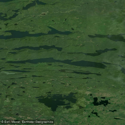
Pine Lake
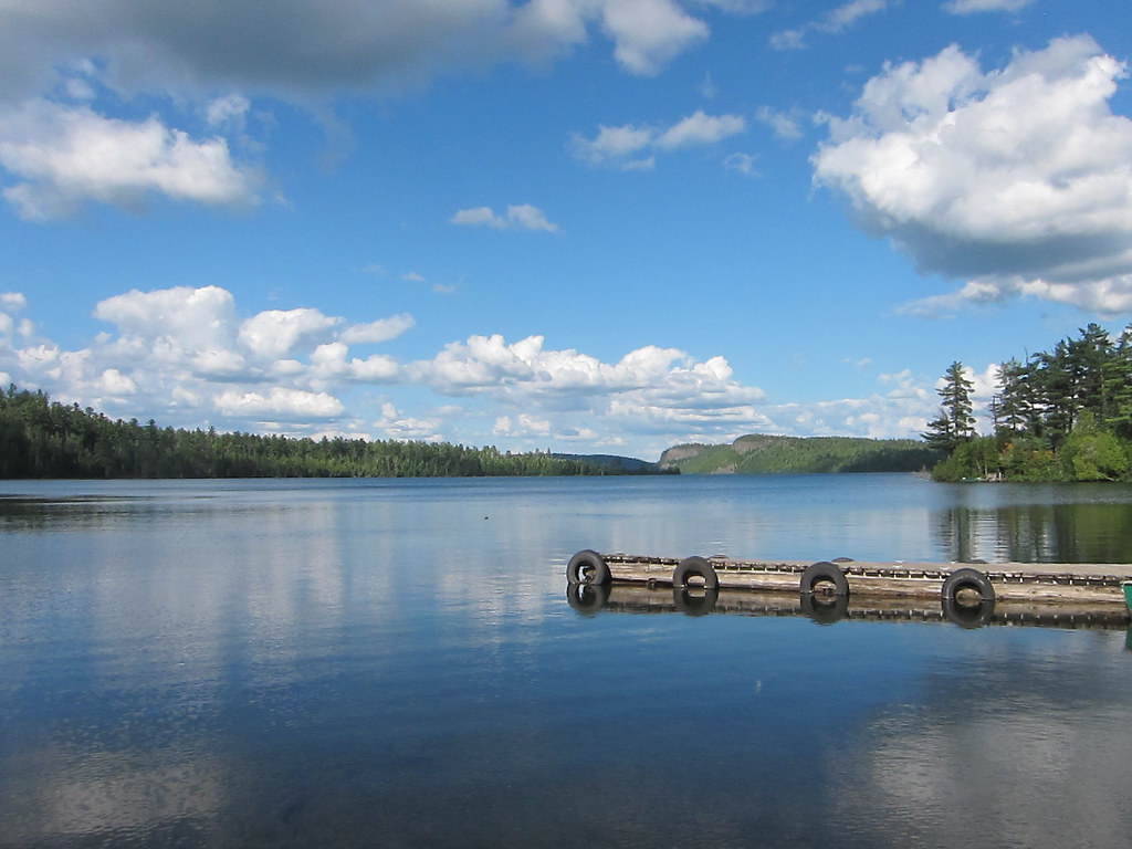
Clearwater Lake
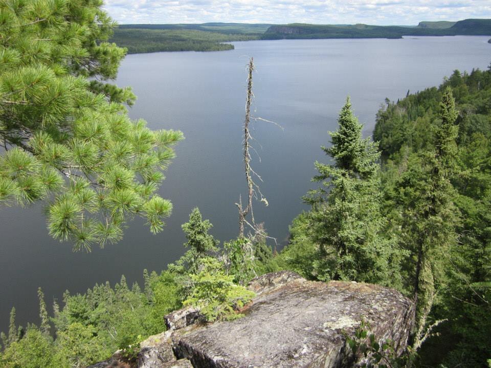
Rose Lake
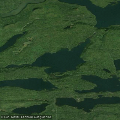
Duncan Lake
Lenore Lake
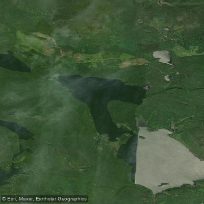
North Fowl Lake
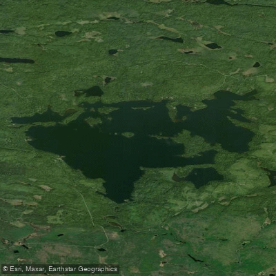
Greenwood Lake
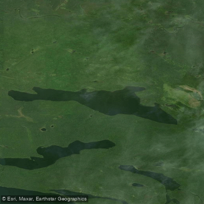
Moose Lake
Explore Minnesota waters
Top paddling waters
Popular Cities
Loading popular cities...
Explore near South Fowl Lake
Access points
Nearby waters
More in Minnesota

Smarter Paddling Starts in the App.
Paddleways gives you everything you need to plan smarter, paddle better, and own every trip from first launch to takeout.