Curated by PaddleWays
RouteFlatwater
- Distance
- 4.4 mi
- Paddle time
- ~1.5 hrs
- Best for
- Kayak, canoe
- Put-in → take-out
- Crow Wing River, #4, Fisherman's Bank Public Water Access Site → Mississippi River, Crow Wing SPK Public Water Access Site
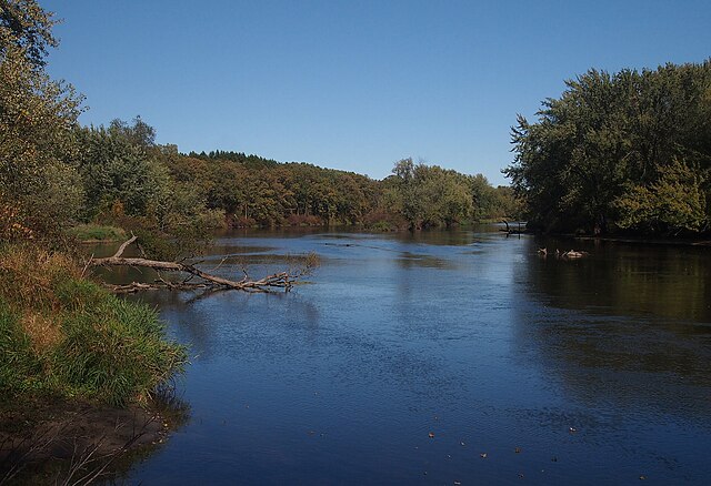
The Crow Wing River is a scenic waterway in central Minnesota, originating from a chain of 11 lakes in southern Hubbard County. It flows southeast for approximately 90 miles before joining the Mississippi River. Named for a wing-shaped island at its confluence, the Crow Wing offers paddlers a remarkable 150-mile water trail through diverse Minnesota landscapes. This river is renowned for its crystal-clear waters, sandy beaches, and excellent swimming areas. It's generally shallow, rarely exceeding three feet in depth, but maintains sufficient flow for canoeing and kayaking throughout most of its course.
The Crow Wing River State Water Trail provides paddlers with a wilderness-like experience, featuring largely undeveloped shorelines and numerous camping options. Paddling opportunities range from easy day trips to multi-day adventures. Popular sections include the Wilderness Section downstream from an unspecified dam, offering a pristine 5-mile stretch through undeveloped landscape. The 75-mile stretch from Shell City to McGivern Park, part of the Crow Wing River Canoe Trail system, passes through Huntersville State Forest and provides ample camping opportunities.
The river is primarily flatwater with occasional small rapids, making it suitable for paddlers of various skill levels. However, some sections, like the stretch from Mary Brown bridge to Highway 7, offer a mix of quiet paddling and mild whitewater, adding excitement for more experienced canoeists and kayakers.
Late spring through early fall is the ideal paddling season, with summer offering warm waters perfect for swimming and tubing. The river's ecosystem supports diverse flora and fauna, with opportunities to observe local wildlife in their natural habitat.
Key access points include Akeley, Huntersville, Shell City, and Staples. The river passes through or near several state and county campgrounds, including Shell City, Big Bend, and Huntersville State Campgrounds. McGivern Park in Staples (river mile 37.2) and Orville's Landing (river mile 34.1) are popular put-in and take-out locations for shorter trips.
The Crow Wing River holds historical significance as a transportation route for Native Americans and early settlers. Today, it serves as a vital recreational resource, offering opportunities for fishing, paddling, and nature observation.
Safety considerations include being prepared for varying water levels and potential obstacles. Paddlers should follow Minnesota Department of Natural Resources guidelines for water trail safety and regulations. For those seeking extended adventures, the full 150-mile Crow Wing River Trail offers an excellent multi-day trip option, with numerous campgrounds spaced every three to seven miles along the route.
Curated routes
Hand-picked by the PaddleWays team, with put-ins, take-outs, paddle times and the hazards along the way.
RouteFlatwater
RouteFlatwater
Hazards
No paddler has reported a hazard here yet, so these are the dams, falls and big rapids on our map. Hazards change with flows and storms, so check them before you launch.
From the community
Nobody has shared a trip on Crow Wing River yet. Paddle it, then tell the next paddler how it went.
See exactly where the public can get on and off the river. Launch points and boat ramps are paired with PaddleWays' public land data so you know where you can legally land.
Public shoreline
9%of the river's shoreline is public
Most of the riverbank is private. Launch, land and camp only at public access points.
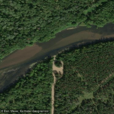
Boat Ramp
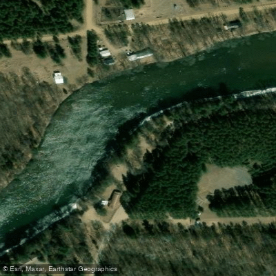
Boat Ramp
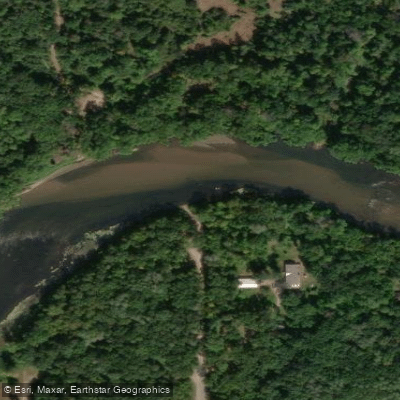
Boat Ramp
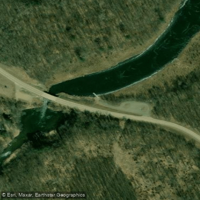
Boat Ramp
Showing 4 of 10 boat ramps.
Flows, weather and a route-by-route verdict, so you know which stretch of the Crow Wing River is worth paddling today.
All Flow Stations
Live flows, marked hazards and fresh trip reports from paddlers who were just on the water, all in one place.





Every user gets free access to launch points, boat ramps, and public property parcels.

Loading popular cities...
PaddleWays gives you everything you need to plan smarter, paddle better, and own every trip from first launch to takeout.





