Lake Anna
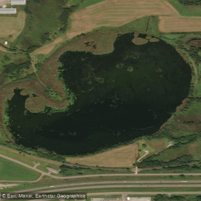
Lake Anna
- Boat Ramps
- 0
- Access Points
- 0
- Campsites
- 0
Lake Anna in Minnesota is a 598-acre lake located in Otter Tail County, approximately four miles north of Underwood. The lake features 9 miles of shoreline and reaches a maximum depth of 55 feet, with 69% of the lake being 15 feet or less in depth. A DNR-owned concrete public access is located along the southwest shoreline.
The lake's water clarity is good, with historical Secchi disk readings ranging from 4.0 to 9.3 feet. The majority of the shoreline remains undeveloped, providing a natural setting for paddlers. Shoal water areas consist primarily of sand and gravel substrates. The entire shoreline features hardstem bulrush and common cattail vegetation, which provides important fish and wildlife habitat.
Wildlife viewing opportunities include various songbirds, waterfowl, white-tailed deer, and occasional sightings of bald eagles or ospreys. Paddlers may also encounter beaver, muskrat, and mink along the shoreline. The lake supports diverse fish populations including black crappie, bluegill, northern pike, and walleye.
The lake is classified as mesotrophic (moderately fertile) and is currently free from aquatic invasive species. Emergent aquatic plants like bulrush and cattail help maintain good water quality by protecting shorelines and absorbing pollutants.
Paddlers should be aware that these emergent plants may not be removed without a DNR permit due to their ecological value. To help prevent the spread of aquatic invasive species, all watercraft must be cleaned and drained before and after use, following Minnesota state regulations.
The combination of undeveloped shoreline, good water quality, and abundant wildlife makes Lake Anna an attractive destination for paddlers seeking a natural lake experience in central Minnesota.
Water access, boat ramps & amenities
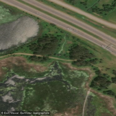
Learn how to get on Lake Anna. Uncover great paddling access points, boat ramps, and all the facilities you need for an unforgettable day on the water. Some locations shown may border or include private property. Always check property boundaries and applicable regulations before visiting. PaddleWays's Public & Private Land layer can help you plan your access with confidence.
Paddle smarter with real-time insights
Whether you're en route and conditions shift or you're looking for the best spot based on current flows, we enable you to make informed decisions on the fly.








Find Places to Paddle

Over 400,000 Places to Paddle
Every user gets free access to launch points, boat ramps, and public property parcels.


Water and weather conditions (10 day forecast)
See the best times to paddle Lake Anna and check the forecast before you go.
No forecast data available.
Paddling near Lake Anna

Mississippi River
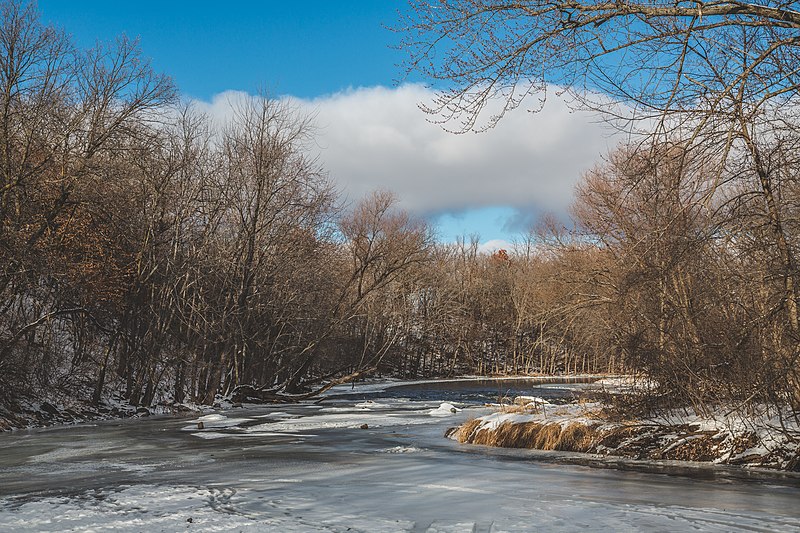
Sauk River
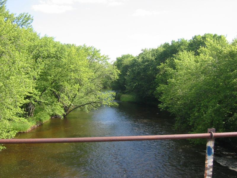
Rum River
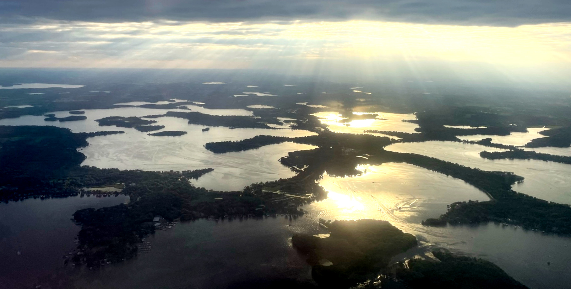
Lake Minnetonka
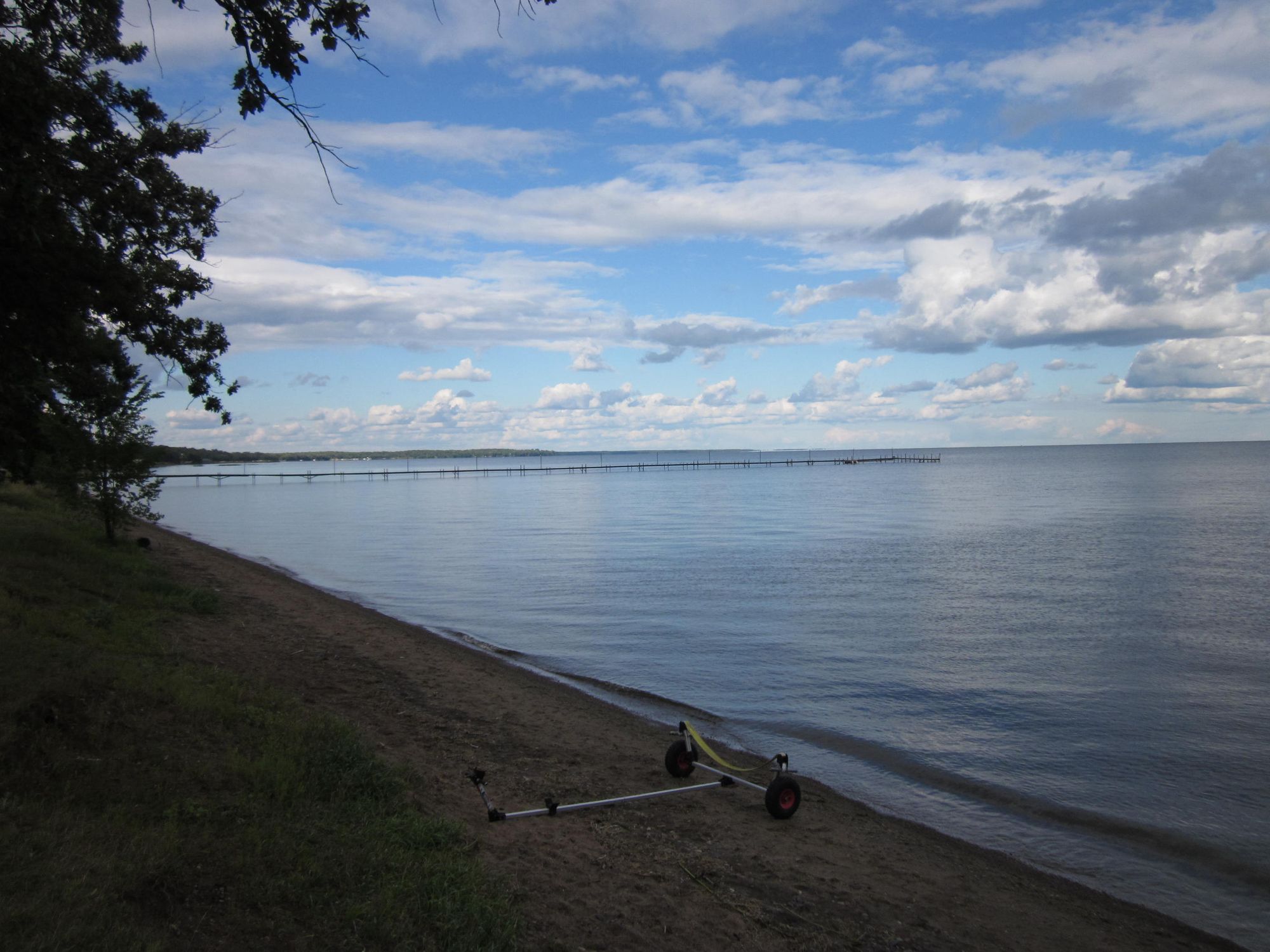
Mille Lacs Lake
Long Lake
Julia Lake
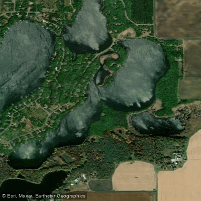
Pickerel Lake
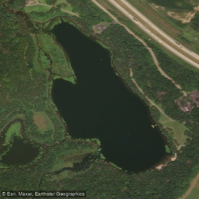
Warner Lake
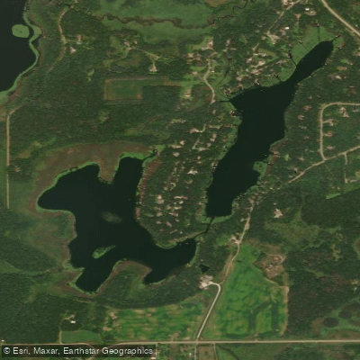
Long Lake
Explore Minnesota waters
Top paddling waters
Popular Cities
Loading popular cities...
Explore near Lake Anna

Smarter Paddling Starts in the App.
Paddleways gives you everything you need to plan smarter, paddle better, and own every trip from first launch to takeout.