Lake Byllesby
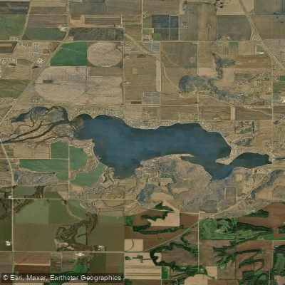
Lake Byllesby
- Boat Ramps
- 3
- Access Points
- 4
- Campsites
- 0
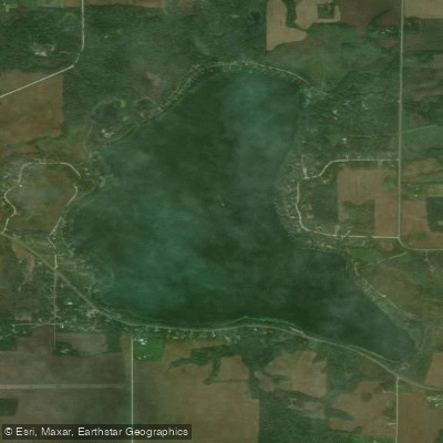
Lake Byllesby is a 1,432-acre reservoir located on the border of Dakota and Goodhue Counties in Minnesota. Created by a 60-foot dam built in 1910 on the Cannon River, the lake offers diverse paddling opportunities in a scenic setting.
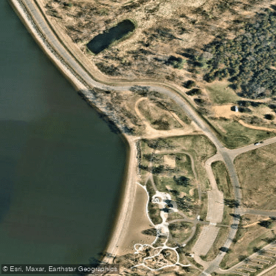
Access points include boat launches at Lake Byllesby Regional Park on the north shore and Byllesby Park on the south shore. Both parks provide amenities such as picnic areas, toilets, and drinking water. The Dakota County park also offers camping facilities.
Paddlers can enjoy views of wooded bluffs and wildlife, including bald eagles, waterfowl, and deer. The lake is suitable for various watercraft, with opportunities for fishing, swimming, and other water activities.
The lake's 3.5-mile length allows for both short excursions and longer explorations. The surrounding Cannon River Valley provides additional scenic vistas.
Safety considerations include being aware of the dam at the eastern end of the lake. Portage options exist on both sides but are steep and difficult. Paddlers should exercise caution near the dam area.
The lake is most popular during summer months when warm temperatures are ideal for water activities. However, the parks remain open year-round, with winter offering opportunities for ice fishing.
Paddlers should note that the lake is part of a larger water system. Downstream, the Cannon River flows through a steep gorge with limestone bluffs, offering more advanced paddling opportunities for those interested in river trips.
When planning a visit, check with park authorities for any specific regulations or seasonal considerations that may affect paddling activities on Lake Byllesby.
Water access, boat ramps & amenities
Learn how to get on Lake Byllesby. Uncover great paddling access points, boat ramps, and all the facilities you need for an unforgettable day on the water. Some locations shown may border or include private property. Always check property boundaries and applicable regulations before visiting. PaddleWays's Public & Private Land layer can help you plan your access with confidence.
Paddle smarter with real-time insights
Whether you're en route and conditions shift or you're looking for the best spot based on current flows, we enable you to make informed decisions on the fly.








Find Places to Paddle

Over 400,000 Places to Paddle
Every user gets free access to launch points, boat ramps, and public property parcels.


Water and weather conditions (10 day forecast)
See the best times to paddle Lake Byllesby and check the forecast before you go.
No forecast data available.
Paddling near Lake Byllesby
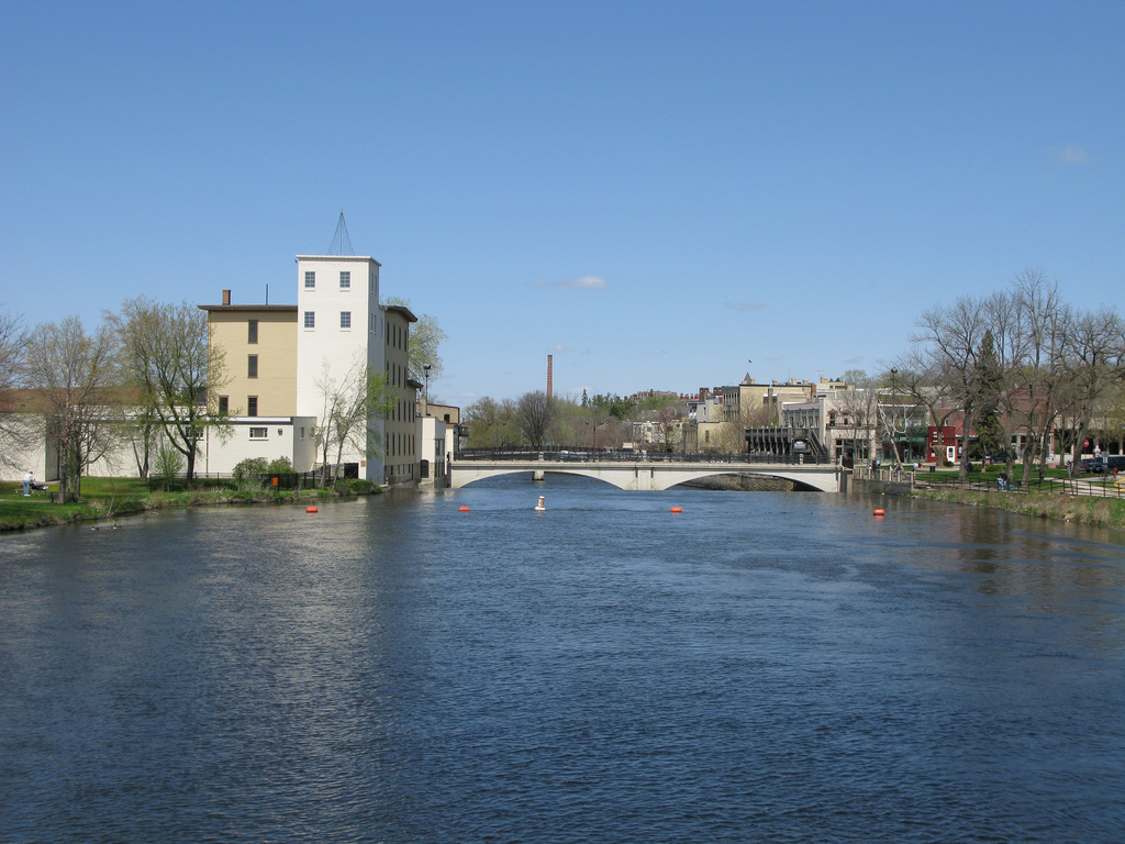
Cannon River

Mississippi River
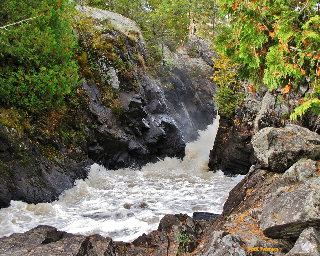
Vermillion River
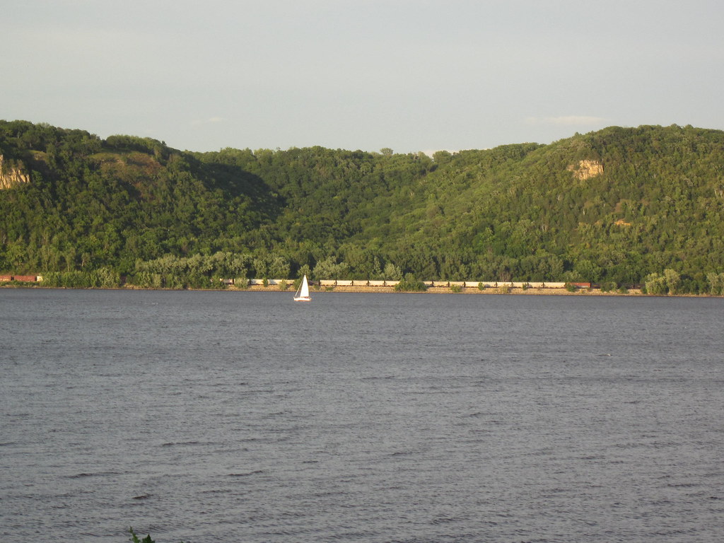
Lake Pepin
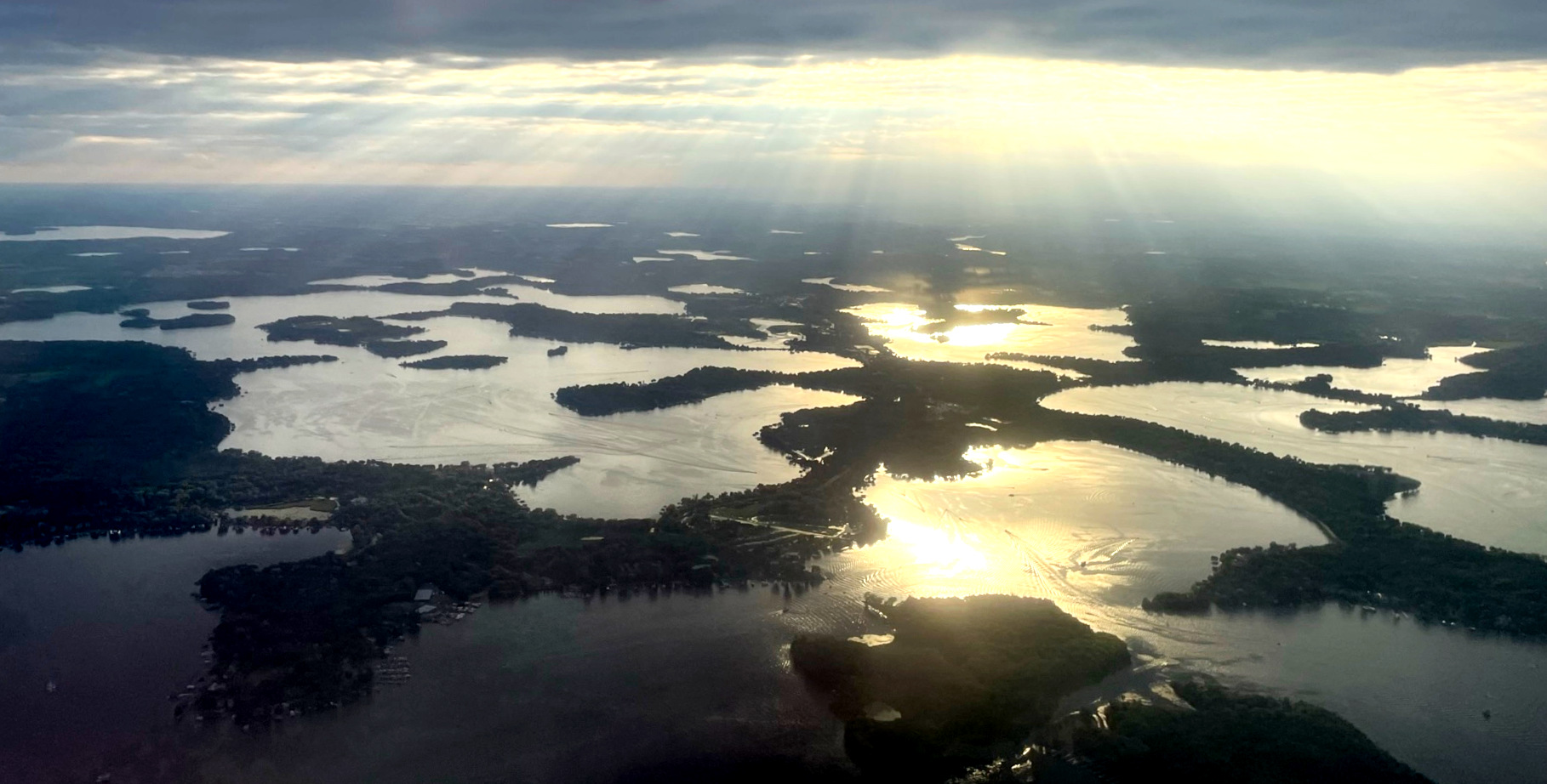
Lake Minnetonka
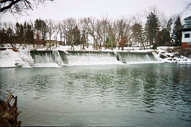
Cedar River
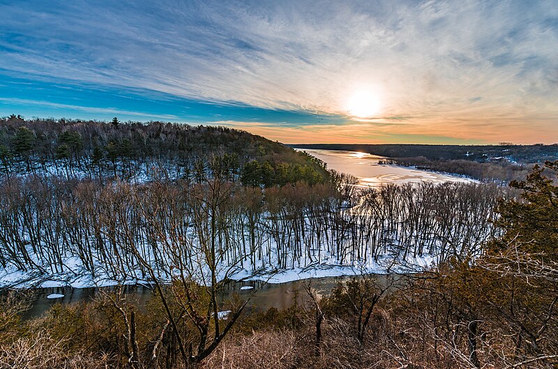
Kinnickinnic River

Willow River
Mazaska Lake
Explore Minnesota waters
Top paddling waters
Popular Cities
Loading popular cities...
Explore near Lake Byllesby
Access points
- Lake Byllesby Public Water Access Site
- Cannon River, Lake Byllesby (W) Public Water Access Site
- Cannon River, Lake Byllesby (E) Public Water Access Site
- Lake Byllesby, Regional Park Beach
- Chub Creek Bridge
- Spring Creek Bridge
- Cannon River Bridge
- Little Cannon River Bridge
- Prairie Creek Bridge
- Spring Creek Bridge
- Cannon River Bridge
- Little Cannon River Bridge
- All 27 spots
Nearby waters
More in Minnesota

Smarter Paddling Starts in the App.
Paddleways gives you everything you need to plan smarter, paddle better, and own every trip from first launch to takeout.