Lake Sarah
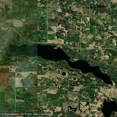
Lake Sarah
- Boat Ramps
- 1
- Access Points
- 1
- Campsites
- 55
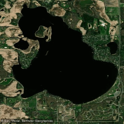
Lake Sarah is a 557-acre lake located in western Hennepin County, Minnesota, positioned at GPS coordinates 45°4'19"N 93°41'24"W. The lake is surrounded by the communities of Independence, Greenfield, Loretto, Medina, and Rockford, offering paddlers a suburban lake experience with residential shoreline development.
The lake features two distinct bays, providing varied paddling environments and scenic diversity. Water levels are monitored regularly, with an Ordinary High Water Level of 979.90 feet. Recent readings indicate stable water conditions suitable for paddling activities.
Lake Sarah supports a healthy loon population, with breeding pairs regularly observed on both bays with chicks. Paddlers should maintain significant distance from loons and avoid nesting areas, particularly during the breeding season when adult loons may have chicks on their backs. The lake's ecosystem also includes various waterfowl and wildlife species.
The lake operates under specific boating regulations enforced by Hennepin County Sheriff Water Patrol and West Hennepin Public Safety. Minnesota's watercraft operator permit requirements apply to motorized vessels, with new education mandates taking effect for certain age groups. Non-motorized paddlers should be aware of sharing the water with motorboats and personal watercraft.
Lake Sarah has been designated MN DNR #27-0191 and is located in sections 1 and 2 of township 118, range 24, and sections 34 and 35 of township 119, range 24. The lake's substantial size provides ample space for extended paddling sessions, while the dual-bay configuration offers opportunities to explore different areas during a single outing.
Environmental stewardship is emphasized on Lake Sarah, with ongoing water quality monitoring and aquatic vegetation management programs. Paddlers are encouraged to practice responsible recreation, including proper disposal of fishing line to protect wildlife, particularly loons and other species susceptible to entanglement.
Water access, boat ramps & amenities
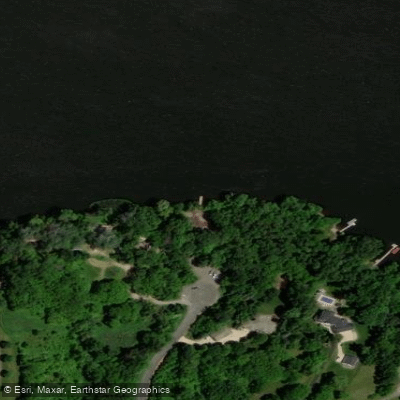
Learn how to get on Lake Sarah. Uncover great paddling access points, boat ramps, and all the facilities you need for an unforgettable day on the water. Some locations shown may border or include private property. Always check property boundaries and applicable regulations before visiting. PaddleWays's Public & Private Land layer can help you plan your access with confidence.
Paddle smarter with real-time insights
Whether you're en route and conditions shift or you're looking for the best spot based on current flows, we enable you to make informed decisions on the fly.








Find Places to Paddle

Over 400,000 Places to Paddle
Every user gets free access to launch points, boat ramps, and public property parcels.


Water and weather conditions (10 day forecast)
See the best times to paddle Lake Sarah and check the forecast before you go.
No forecast data available.
Paddling near Lake Sarah

Mississippi River
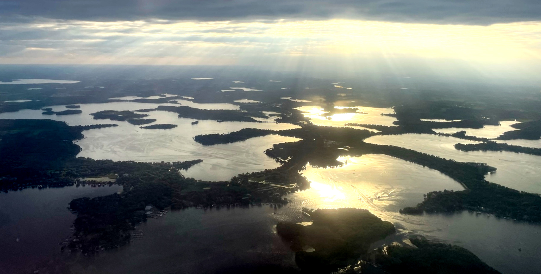
Lake Minnetonka
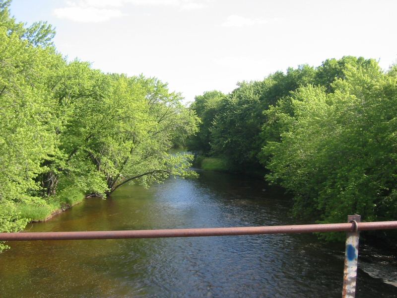
Rum River
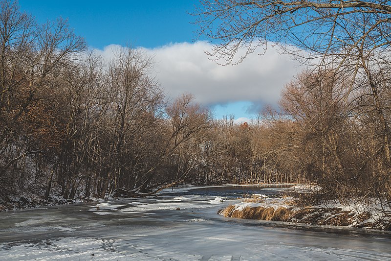
Sauk River
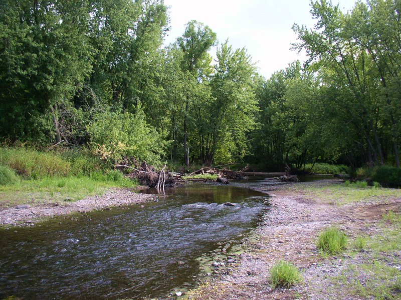
Sunrise River
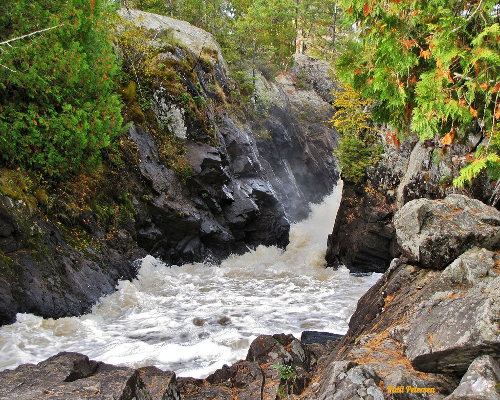
Vermillion River
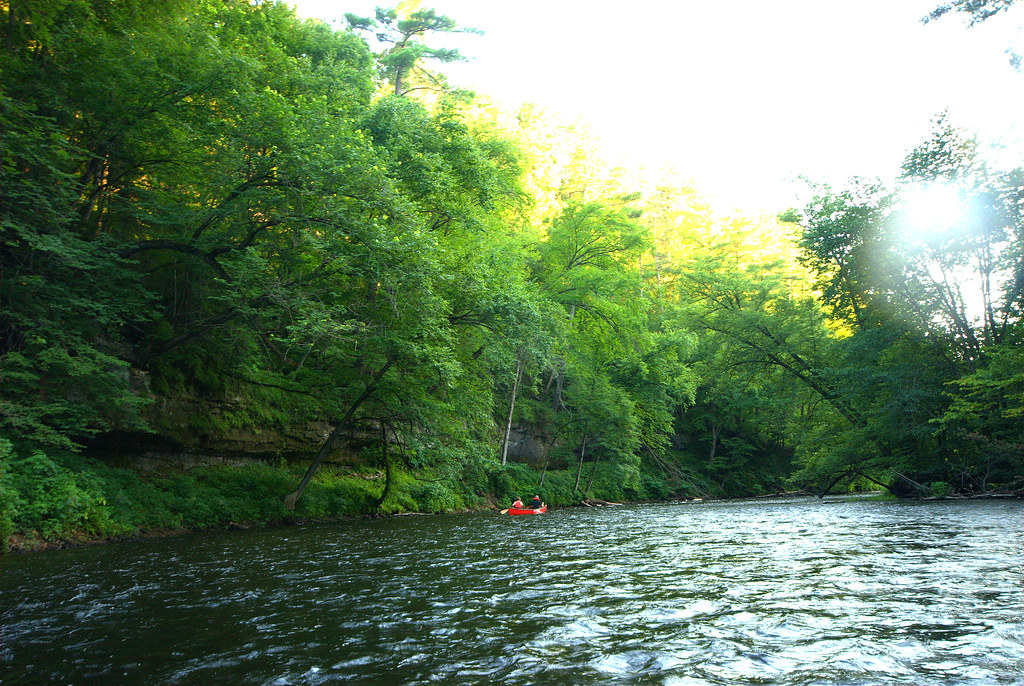
Apple River

Willow River
Lake Independence
Explore Minnesota waters
Top paddling waters
Popular Cities
Loading popular cities...
Explore near Lake Sarah
Access points
- Lake Sarah, Kohen Memorial Landing Public Water Access Site
- Crow River Bridge
- Pioneer Creek Bridge
- S Fk Crow River Bridge
- N Fk Crow River Bridge
- S Fk Crow River Bridge
- South Creek Campground
- Sarah Creek Group Campground
- South Group Campground
- Halfmoon Group Campgrounds
- Baker Park Reserve Campground
- J1 Campground
- All 61 spots
Nearby waters
More in Minnesota

Smarter Paddling Starts in the App.
Paddleways gives you everything you need to plan smarter, paddle better, and own every trip from first launch to takeout.