Lake Washington
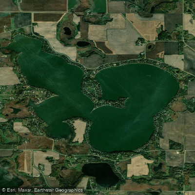
Lake Washington
- Boat Ramps
- 2
- Access Points
- 2
- Campsites
- 3
Lake Washington spans 1,516 acres with 13.2 miles of shoreline, making it one of the largest lakes in southern Minnesota. The lake is located primarily in Le Sueur County, with a small portion extending into Blue Earth County, approximately 10 miles from Mankato.
The lake supports major water sports activities and attracts numerous visitors throughout the year. With approximately 450 homes along its shoreline and 80 percent of residents living on the lake full-time, paddlers can expect a developed lakefront environment rather than wilderness conditions.
Fishing is a prominent activity on Lake Washington, with the lake known for its populations of crappies, bass, northern pike, and walleye. This active fishing community means paddlers should be aware of anglers and fishing boats, particularly during peak fishing seasons.
The Lake Washington Association maintains detailed maps of the area, including buoy maps, lake maps, and water depth maps, which can be valuable resources for paddlers planning routes and understanding lake navigation. A historical 1902 map also provides perspective on the lake's long-standing recreational use.
The association monitors water quality conditions, including algae blooms, which paddlers should consider when planning trips. Current information about water conditions can be obtained through the Lake Washington Association's resources.
The lake's substantial size and extensive shoreline provide ample opportunities for day-long paddling excursions. However, the combination of residential development, active boating, and fishing means this lake offers a more social paddling experience rather than a remote wilderness setting. Paddlers should be prepared to share the water with various watercraft and respect the established lake community.
Water access, boat ramps & amenities
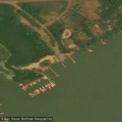
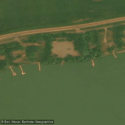
Learn how to get on Lake Washington. Uncover great paddling access points, boat ramps, and all the facilities you need for an unforgettable day on the water. Some locations shown may border or include private property. Always check property boundaries and applicable regulations before visiting. PaddleWays's Public & Private Land layer can help you plan your access with confidence.
Paddle smarter with real-time insights
Whether you're en route and conditions shift or you're looking for the best spot based on current flows, we enable you to make informed decisions on the fly.








Find Places to Paddle

Over 400,000 Places to Paddle
Every user gets free access to launch points, boat ramps, and public property parcels.


Water and weather conditions (10 day forecast)
See the best times to paddle Lake Washington and check the forecast before you go.
No forecast data available.
Paddling near Lake Washington
Cannon River
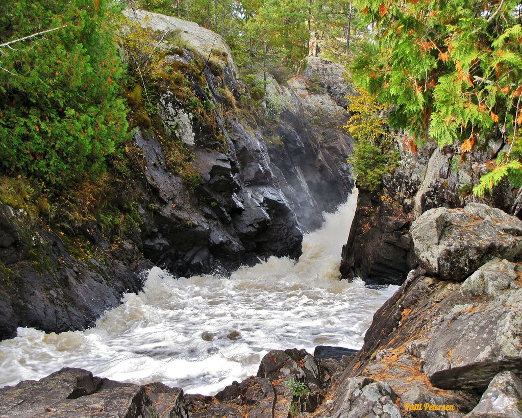
Vermillion River
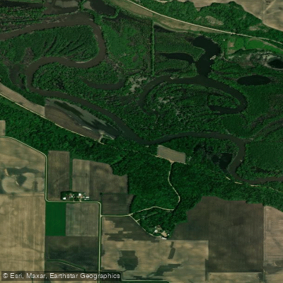
Minnesota River
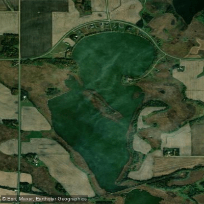
Eagle Lake
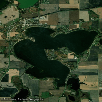
Madison Lake
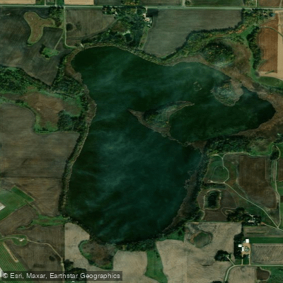
Wita Lake
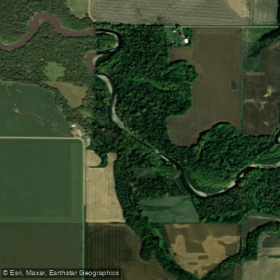
Blue Earth River
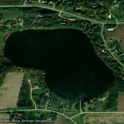
George Lake
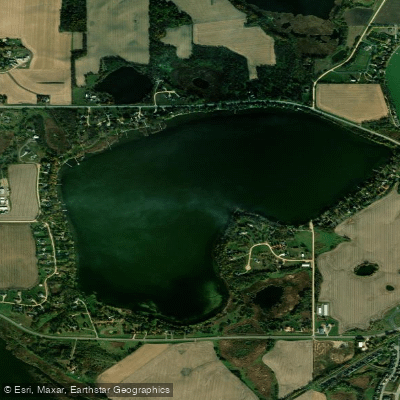
Ballantyne Lake
Explore Minnesota waters
Top paddling waters
Popular Cities
Loading popular cities...
Explore near Lake Washington
Access points
Nearby waters
More in Minnesota

Smarter Paddling Starts in the App.
Paddleways gives you everything you need to plan smarter, paddle better, and own every trip from first launch to takeout.