Curated by PaddleWays
RouteFlatwater
- Distance
- 13.6 mi
- Paddle time
- ~4.5 hrs
- Put-in → take-out
- Long Prairie River, Long Prairie Public Water Access Site → Long Prairie River, Browerville Public Water Access Site
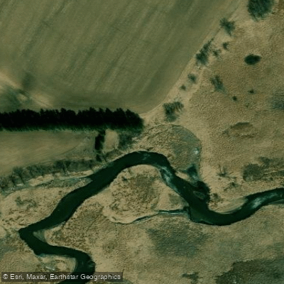
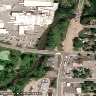
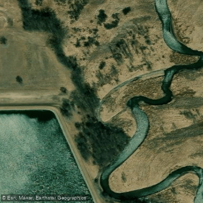
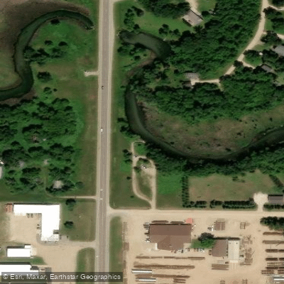
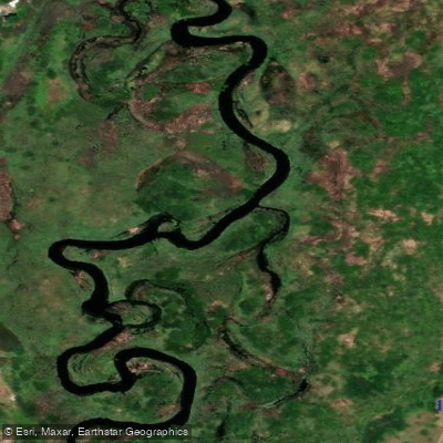
The Long Prairie River is a scenic 96-mile waterway in central Minnesota, originating at Lake Carlos in Douglas County and flowing eastward through Todd County before joining the Crow Wing River southeast of Motley. This gentle river meanders through a diverse landscape of shaded woods, farm fields, small towns, and floodplain meadows and forests. Designated as a State Water Trail in 2001, the Long Prairie River offers excellent paddling opportunities for canoeists and kayakers of all skill levels.
The river is primarily Class I, with no major rapids, making it ideal for beginners and families. Some segments can become slow and shallow in summer, so spring and early summer typically provide the best paddling conditions. The river's watershed lies within the North Central Hardwood Forest ecoregion, characterized by a mix of hardwood forests, wetlands, and remnants of tallgrass prairie.
Paddlers can expect to see a rich variety of wildlife, including river otters, osprey, kingfishers, hawks, herons, and snapping turtles. The river is especially vibrant during spring and fall bird migrations.
Key access points include Lake Carlos State Park at the river's source, the city of Long Prairie at river mile 47.5, Browerville, and the confluence with the Crow Wing River. The Long Prairie River Wildlife Management Area offers excellent wildlife viewing opportunities and primitive camping.
Historically, the river played a role in the region's logging industry and early settlement. Today, it serves as an important recreational resource and wildlife corridor. Paddlers should be aware of one dam near Lake Carlos and occasional logjams, especially after high water events.
For those seeking a multi-day adventure, the full 96-mile route can be completed in 3-5 days, with several access points and campgrounds along the way. The Long Prairie River Cruise, part of the annual Big Ole PaddleFest, offers guided trips on an 8-mile section of the river each July, providing a great introduction to this hidden gem of central Minnesota.
Paddlers should always check current river levels and conditions before embarking, wear life jackets, and be prepared for the lack of amenities along much of the route. With proper planning, the Long Prairie River offers a serene and picturesque paddling experience through the heart of Minnesota's lake country.
Curated routes
Hand-picked by the PaddleWays team, with put-ins, take-outs, paddle times and the hazards along the way.
RouteFlatwater
Hazards
No paddler has reported a hazard here yet, so these are the dams, falls and big rapids on our map. Hazards change with flows and storms, so check them before you launch.
From the community
Nobody has shared a trip on Long Prairie River yet. Paddle it, then tell the next paddler how it went.
See exactly where the public can get on and off the river. Launch points and boat ramps are paired with PaddleWays' public land data so you know where you can legally land.
Public shoreline
1%of the river's shoreline is public
Most of the riverbank is private. Launch, land and camp only at public access points.
Flows, weather and a route-by-route verdict, so you know which stretch of the Long Prairie River is worth paddling today.
Live flows, marked hazards and fresh trip reports from paddlers who were just on the water, all in one place.





Every user gets free access to launch points, boat ramps, and public property parcels.

Loading popular cities...
PaddleWays gives you everything you need to plan smarter, paddle better, and own every trip from first launch to takeout.