Curated by PaddleWays
RouteFlatwater
- Distance
- 1.3 mi
- Paddle time
- 2 hrs
- Best for
- Kayak, canoe
- Put-in → take-out
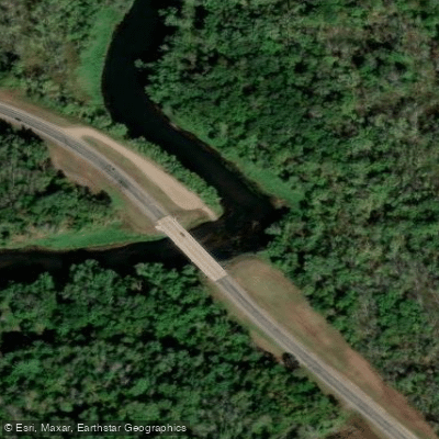
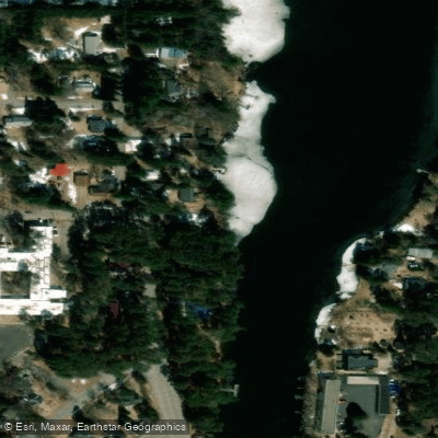
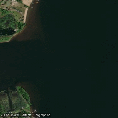
- Pine River, Cross Lake Public Water Access Site → Pine River, Staircase Public Water Access Site
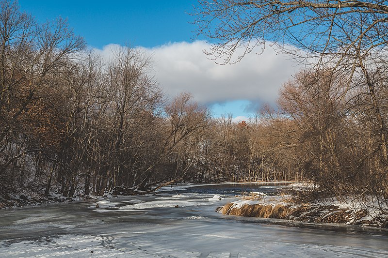
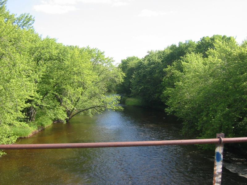
The Pine River is a scenic waterway that flows through the picturesque landscapes of northern Minnesota, offering paddlers a diverse range of experiences from peaceful flatwater stretches to more challenging rapids. This nearly 60-mile long state water trail winds its way through jack pine forests and glacial lakes, providing a quintessential northwoods paddling adventure.
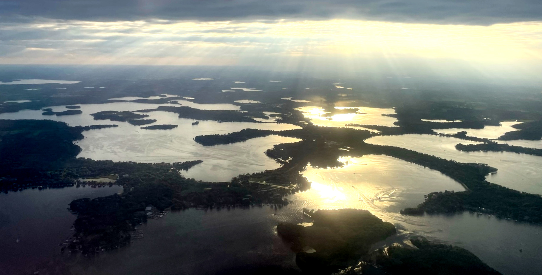
The river's journey begins north of Backus, meandering through the Crow Wing State Forest before passing through the towns of Pine River and Cross Lake, and eventually joining the Whitefish Chain of Lakes.
Along its course, the Pine River presents a variety of paddling opportunities suitable for different skill levels. The upper sections, such as the stretch from Rock Dam to Harvey Drake, offer tranquil flatwater paddling ideal for beginners and those seeking a peaceful nature experience. As the river progresses, it gains some swiftness, with sections like Pine River City to Whitefish Chain providing a mix of flatwater and gentle Class I rapids that offer a bit more excitement for intermediate paddlers.
The difficulty of the Pine River ranges from flatwater to Class I-II, making it accessible to a wide range of paddlers. However, some sections, particularly those with swifter currents and occasional rapids, may require more skill and experience. The river's clear waters and sand and gravel bottom create beautiful patterns visible to paddlers, adding to the aesthetic appeal of the journey.
Spring and early summer typically offer the best water levels for paddling, with peak flows usually occurring in mid to late May. As summer progresses, water levels tend to drop, which can affect navigability in some shallower sections. Fall can also be an excellent time to paddle, with the added bonus of spectacular autumn foliage lining the riverbanks.
The Pine River's ecosystem supports a rich diversity of flora and fauna. Paddlers can expect to see towering white pines, various hardwoods, and a mix of wildlife including deer, beavers, and numerous bird species. The river is also known for its fishing opportunities, particularly for species like smallmouth bass and northern pike.
Notable landmarks along the Pine River include the Rock Dam, various bridges that serve as access points, and the scenic transition into the Whitefish Chain of Lakes. The towns of Pine River and Cross Lake provide convenient access points and opportunities for resupply or a break from paddling.
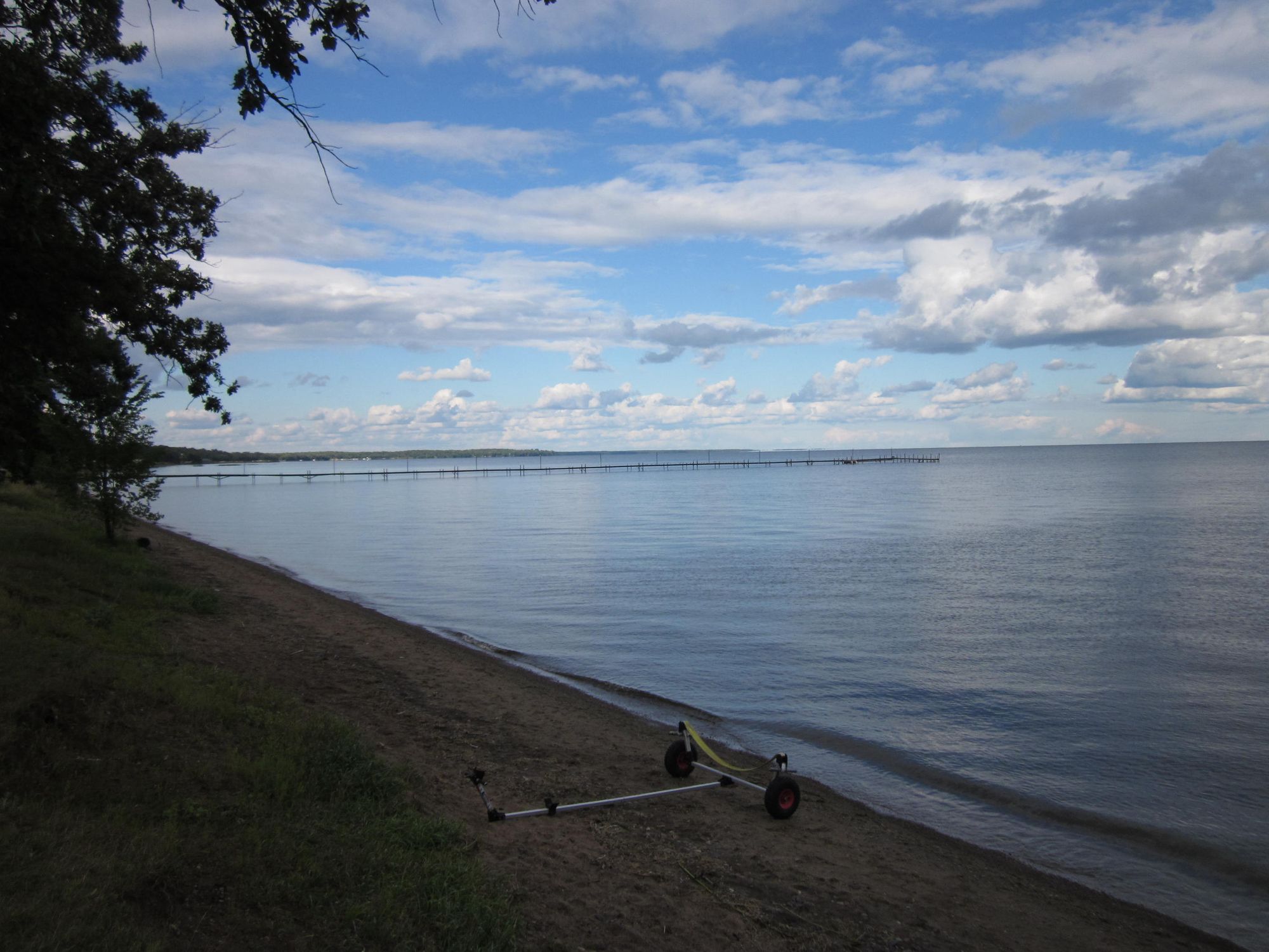
Safety considerations on the Pine River include being prepared for sudden weather changes, wearing appropriate life jackets, and being aware of potential obstacles such as fallen trees or submerged rocks, especially in swifter sections. Paddlers should also be cautious of larger waves that can develop in the Whitefish Chain of Lakes during windy conditions or heavy boat traffic.
For those interested in multi-day trips, the Pine River offers several options. A popular route is the nearly 60-mile journey from Backus to the Whitefish Chain, which can be broken into smaller segments with multiple access points along the way. Campsites are available at various points along the river, allowing for flexible trip planning.
The Pine River State Water Trail is a testament to Minnesota's commitment to preserving its natural waterways for recreational use. It offers a perfect blend of accessibility and wilderness experience, making it a cherished destination for paddlers seeking to explore the beauty of Minnesota's northwoods.
Curated routes
Hand-picked by the PaddleWays team, with put-ins, take-outs, paddle times and the hazards along the way.
RouteFlatwater
RouteFlatwater
RouteFlatwater
Hazards
No paddler has reported a hazard here yet, so these are the dams, falls and big rapids on our map. Hazards change with flows and storms, so check them before you launch.
From the community
Nobody has shared a trip on Pine River yet. Paddle it, then tell the next paddler how it went.
See exactly where the public can get on and off the river. Launch points and boat ramps are paired with PaddleWays' public land data so you know where you can legally land.
Public shoreline
12%of the river's shoreline is public
Most of the riverbank is private. Launch, land and camp only at public access points.
Flows, weather and a route-by-route verdict, so you know which stretch of the Pine River is worth paddling today.
No forecast data available.
Live flows, marked hazards and fresh trip reports from paddlers who were just on the water, all in one place.





Every user gets free access to launch points, boat ramps, and public property parcels.

Loading popular cities...
PaddleWays gives you everything you need to plan smarter, paddle better, and own every trip from first launch to takeout.